Dorgali → Valle di Lanaitho
Walking distance 21.7 km
Download Appy for the stage map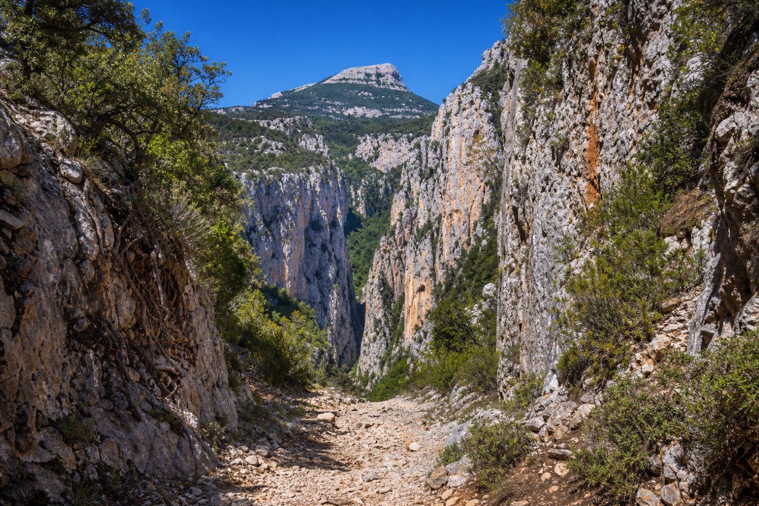
Stage information
- Ascent
- 333 m
- Descent
- 571 m
Difficulty: moderate
Walking the stage
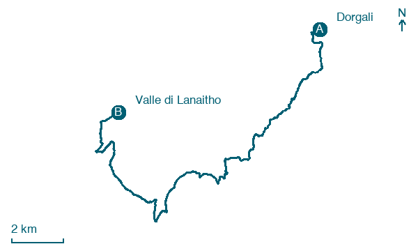
Farm lanes cross the Oddoene valley to the Riu Frumeneddu, then the CAI 481 path, part of the Sentiero Italia, climbs through the narrow Surtana gorge under the flat-topped Monte Tiscali. The stage ends not in a town but at the Budorrai lodgings in the Valle di Lanaitho. Carry water: there is no water point for about 21 km on this stage.
Map · Dorgali → Valle di Lanaitho
Take your walk with you: download Appy
Cammino dei Beati: Dorgali → Valle di Lanaitho. Explore maps, stages and elevation in the app, and plan your train or bus journey.

