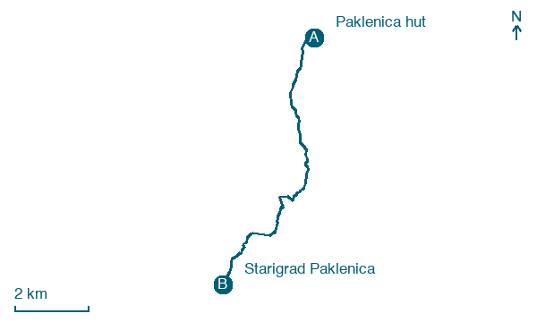
Paklenica hut → Starigrad Paklenica
Walking distance 9.1 km
Download Appy for the stage map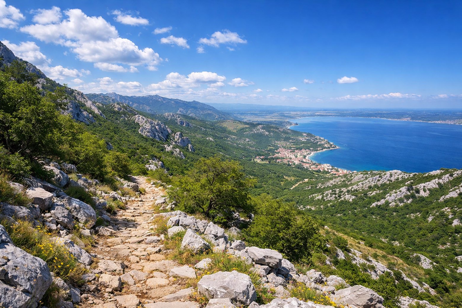
Stage information
- Ascent
- 105 m
- Descent
- 748 m
Difficulty: easy
Walking the stage
Descend the final 9 km from Paklenica hut to Starigrad Paklenica, through Katići and Tomići.
On arrival in Starigrad Paklenica, consider a stop at Večka kula, close to the finish.
Look for these places on the stage map: Katići, Škiljići, and Tomići.
What to see on this stage
History and landmarks
Večka kula
700 m from the trail as the crow flies
16th-century heritage site, in Starigrad, Croatia, designated as Register of Cultural Goods of Croatia, built in stone.
Nature and landscape
Anića kuk
Summit · 400 m from the trail as the crow flies
Peak, in Starigrad, Croatia, at 712 m elevation.
Veliki Vitrenik
Summit · 700 m from the trail as the crow flies
Peak, in Starigrad, Croatia, at 432 m elevation.
Map · Paklenica hut → Starigrad Paklenica
Take your walk with you: download Appy
Velebitski Planinarski Put: Paklenica hut → Starigrad Paklenica. Explore maps, stages and elevation in the app, and plan your train or bus journey.

