Struge → Paklenica hut
Walking distance 20.5 km
Download Appy for the stage mapStage information
- Ascent
- 788 m
- Descent
- 436 m
Difficulty: moderate
Walking the stage
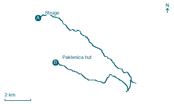
Climb 788 m over 20 km from Struge to Paklenica hut, passing Ljubotić, Adžići and Veliki Vaganac.
Look for these places on the stage map: Ljubotić, Adžići, Gornji Marasovići, and Veliki Vaganac.
Paklenica hut stands beside the Velika Paklenica stream. At the end of the walk, stop by the water that shaped this side of Velebit. The national park places the canyon entrance further down the valley.
Read more at Nacionalni park Paklenica.
Map · Struge → Paklenica hut
Take your walk with you: download Appy
Velebitski Planinarski Put: Struge → Paklenica hut. Explore maps, stages and elevation in the app, and plan your train or bus journey.

