Tour du Mont Thabor
Provence-Alpes-Côte d’Azur · Auvergne-Rhône-Alpes, France
Distance
69 km
Stages
5
Difficulty
moderate
Best months
Apr-Jun, Sep-Oct
Stages and distances
About
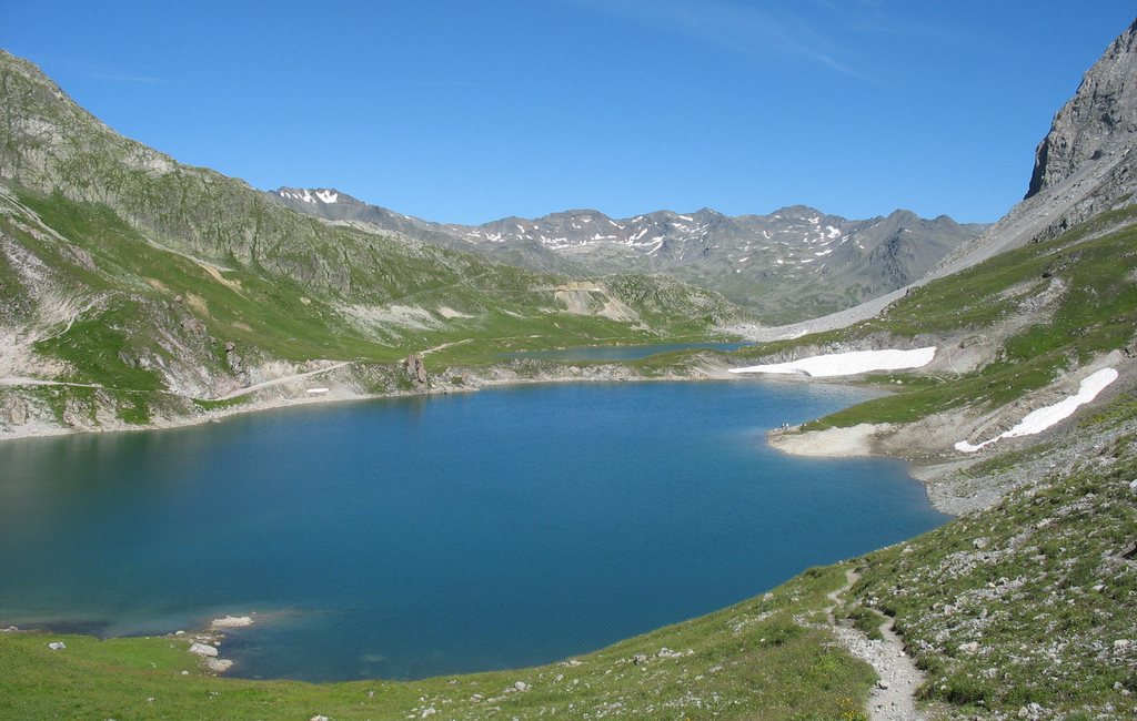
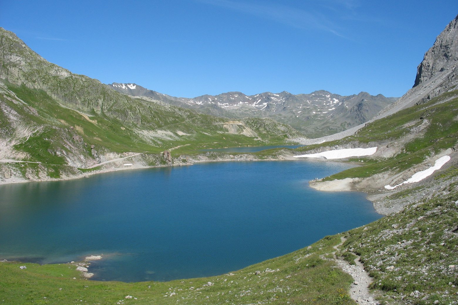
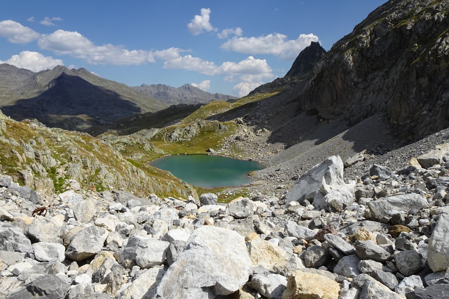
A five-day walking circuit from Ville Haute in Névache links four alpine refuges in the Clarée and Maurienne valleys. The 68.7 km circuit passes Lac du Grand Ban, Col des Marches and Col des Bataillères before returning to Ville Haute by Col du Vallon.
The second day reaches Refuge de Terre Rouge through Les Arendiers. A shorter second-day option, an approach from Valmeinier by Col de Coburne and the final summit spur from Pied du Désert are mapped separately.
The summit spur begins away from the main circuit. The organizer grades this five-day circuit moderate, with 4,137 m of ascent.
It recommends July to September and describes several scree crossings.
The Hautes Vallées tourist office lists temporary access restrictions for the Rochilles Mont-Thabor area. Its November notice covers 13, 20 November 2026.
Check the current access notice before setting out. https://www.hautesvallees.com/la-claree/equipement/le-mont-thabor-depuis-la-vallee-etroite-nevache/
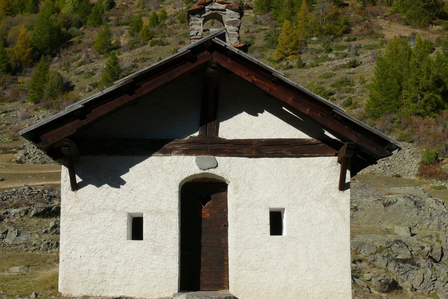
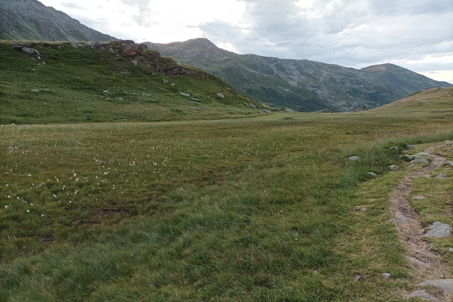
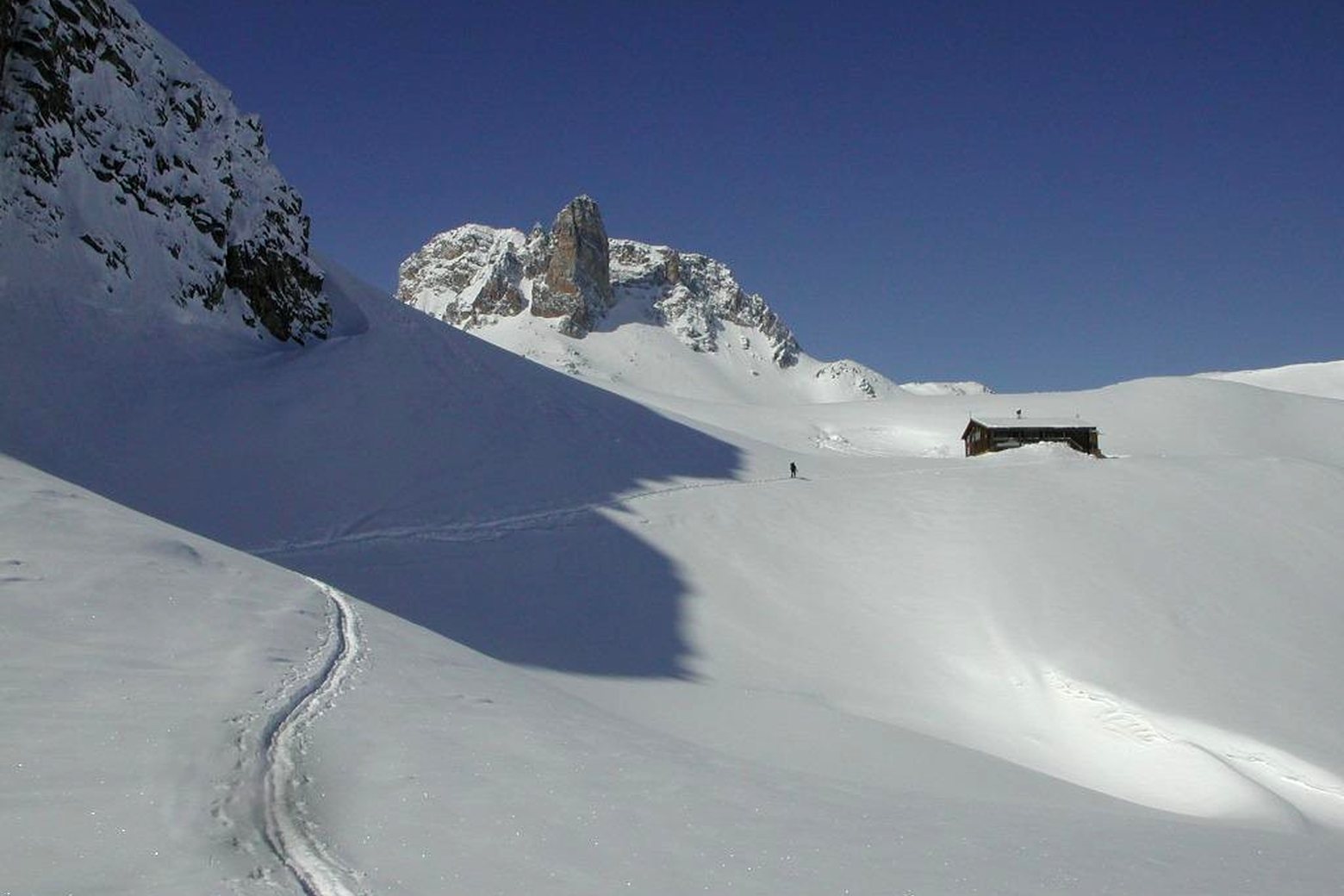
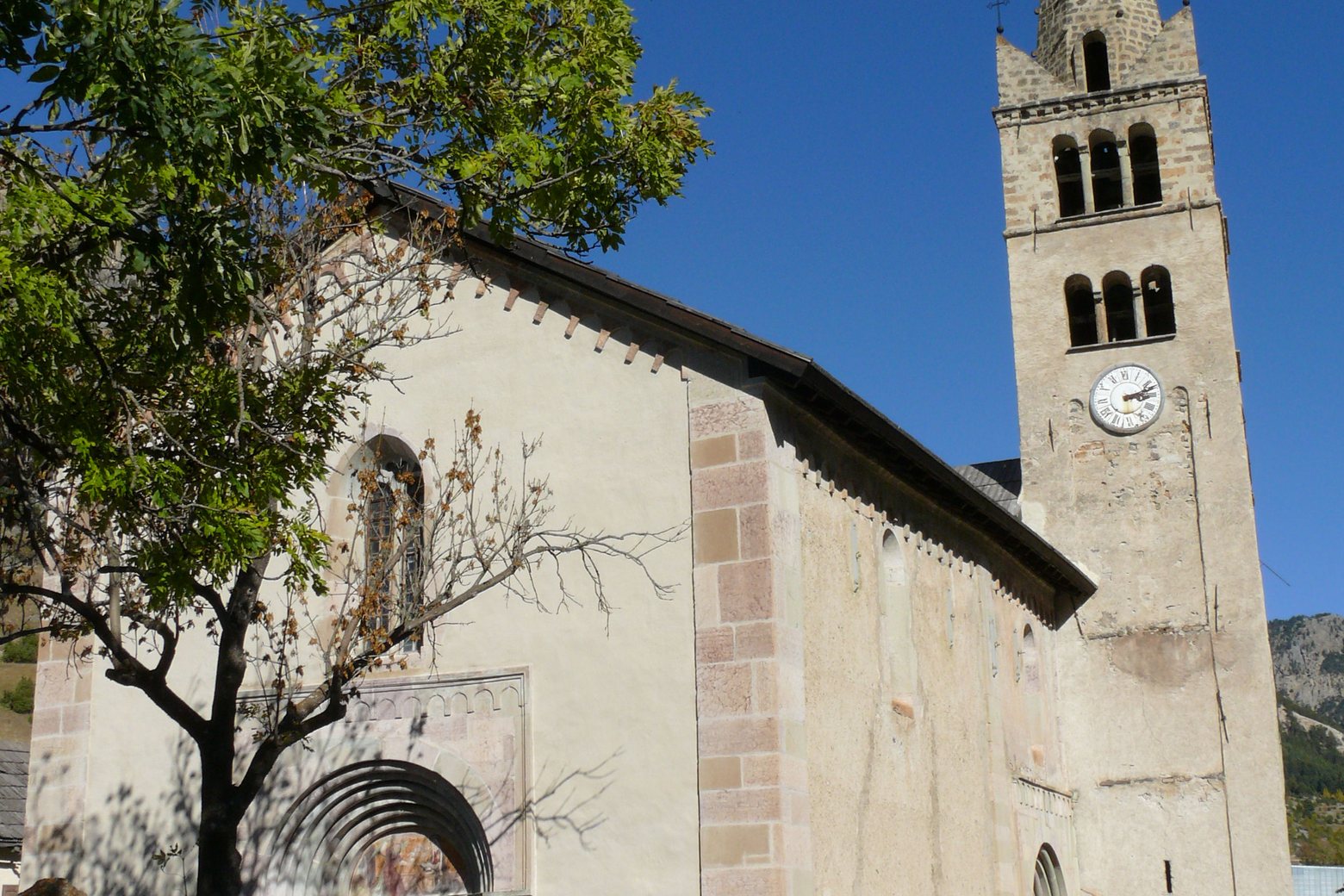
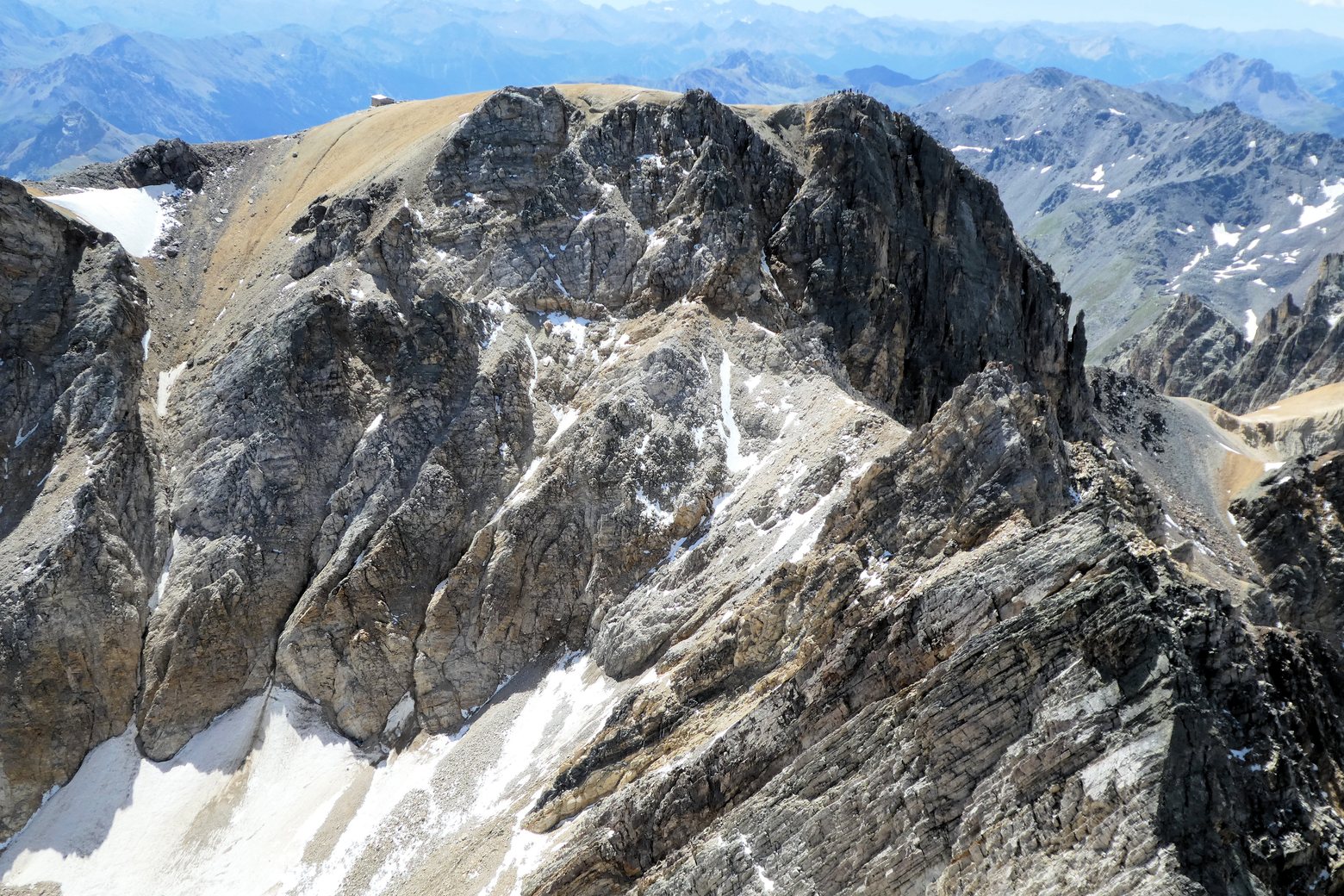
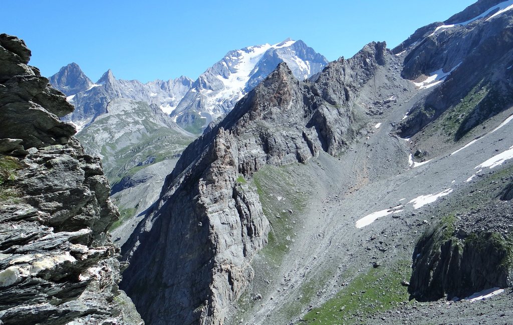
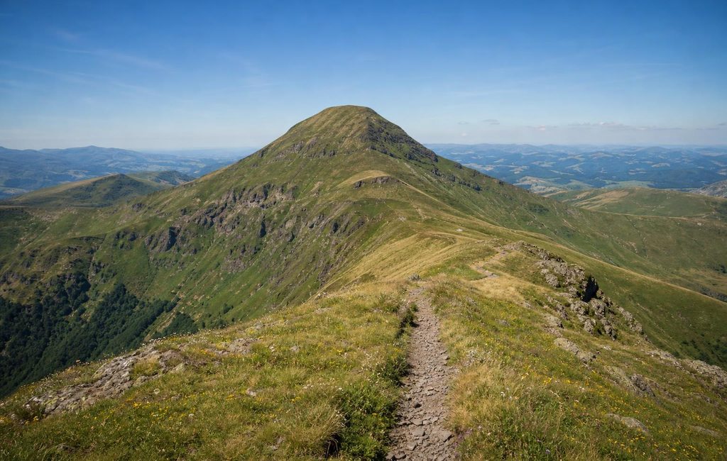
Gallery and cover photographs, Lac du Grand Ban et Lac Rond au seuil des Rochilles (Silyba, CC BY-SA 4.0). Ville Haute (Névache) (MOSSOT, CC BY 3.0).
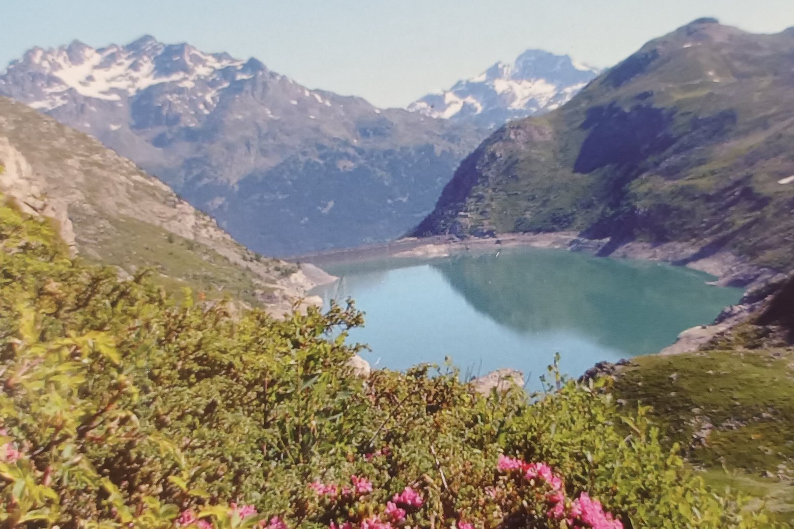
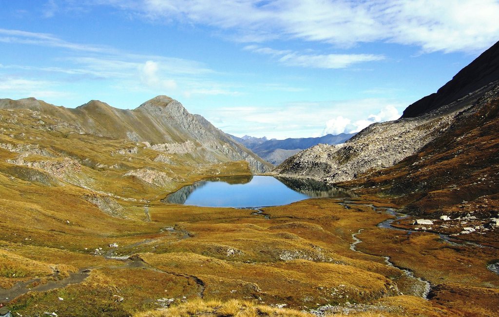
Lac de Bissorte (Orelle) (Gilles Excoffon, CC BY-SA 4.0). Wikimedia Commons.
Cropped and resized. https://nvmoirogqjylyziulvqz.supabase.co/storage/v1/object/public/routes/tour-du-mont-thabor/photograph-credits-bcb5f10eca28.json
Stages
 Stage 1
- Distance
- 17 km
- Ascent
- 962 m
- Descent
- 412 m
 Stage 2
- Distance
- 17 km
- Ascent
- 874 m
- Descent
- 904 m
 Stage 3
- Distance
- 10 km
- Ascent
- 653 m
- Descent
- 617 m
 Stage 4
- Distance
- 7 km
- Ascent
- 557 m
- Descent
- 274 m
 Stage 5
- Distance
- 18 km
- Ascent
- 730 m
- Descent
- 1600 m
 Stage 6
- Distance
- 19 km
- Ascent
- 1654 m
- Descent
- 1078 m
 Stage 7
- Distance
- 0 km
- Ascent
- 103 m
- Descent
- 0 m
 Stage 8
- Distance
- 16 km
- Ascent
- 726 m
- Descent
- 747 m
Travel
Find connections for your cammino.
Search trainsMore walks in France
Plan your walking trip
All articles and guidesHow to choose a walking route: stages, days and ascent
How many days can you actually spend walking? Start there, then choose stages that leave you time to stop along the way.
How to plan a walking trip by train and bus
Two different stations, a last bus and a backpack. Fit the journeys out and home around the days you want to spend walking.