GR58 – Tour du Queyras
Provence-Alpes-Côte d’Azur, France
Distance
116 km
Stages
8
Difficulty
challenging
Best months
Apr-Jun, Sep-Oct
Stages and distances
About
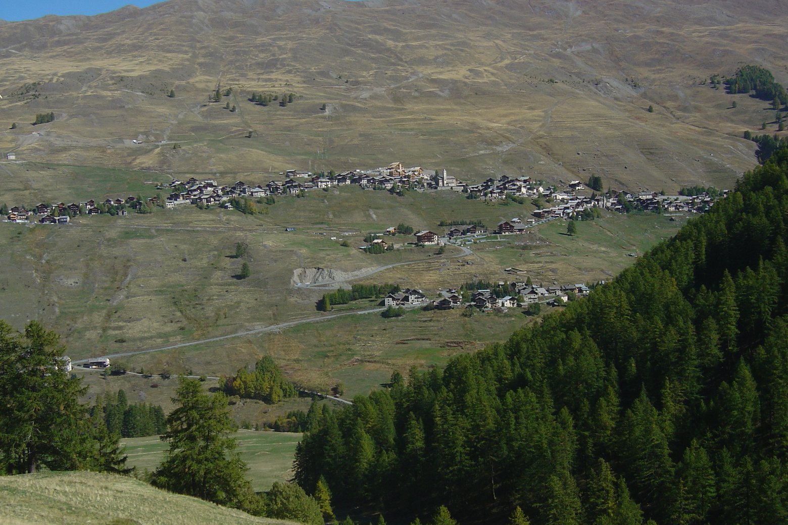
An eight-day circuit from Ceillac links Saint-Véran, Abriès (Abriès-Ristolas), Aiguilles and Souliers (Château-Ville-Vieille) with two mountain refuges in the Hautes-Alpes. The eight main stages total 115.7 km.
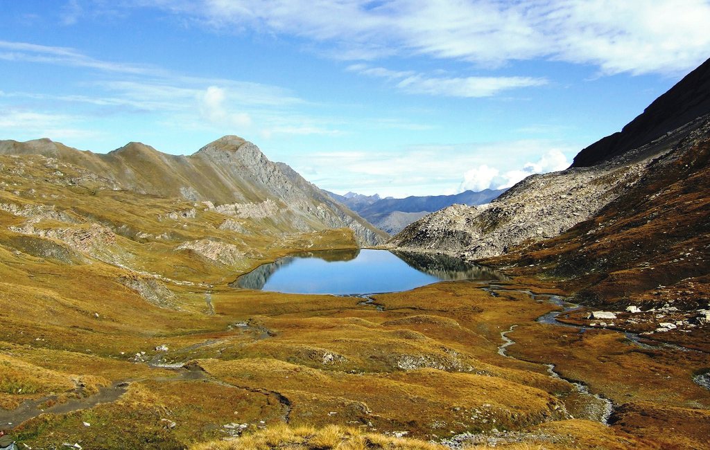
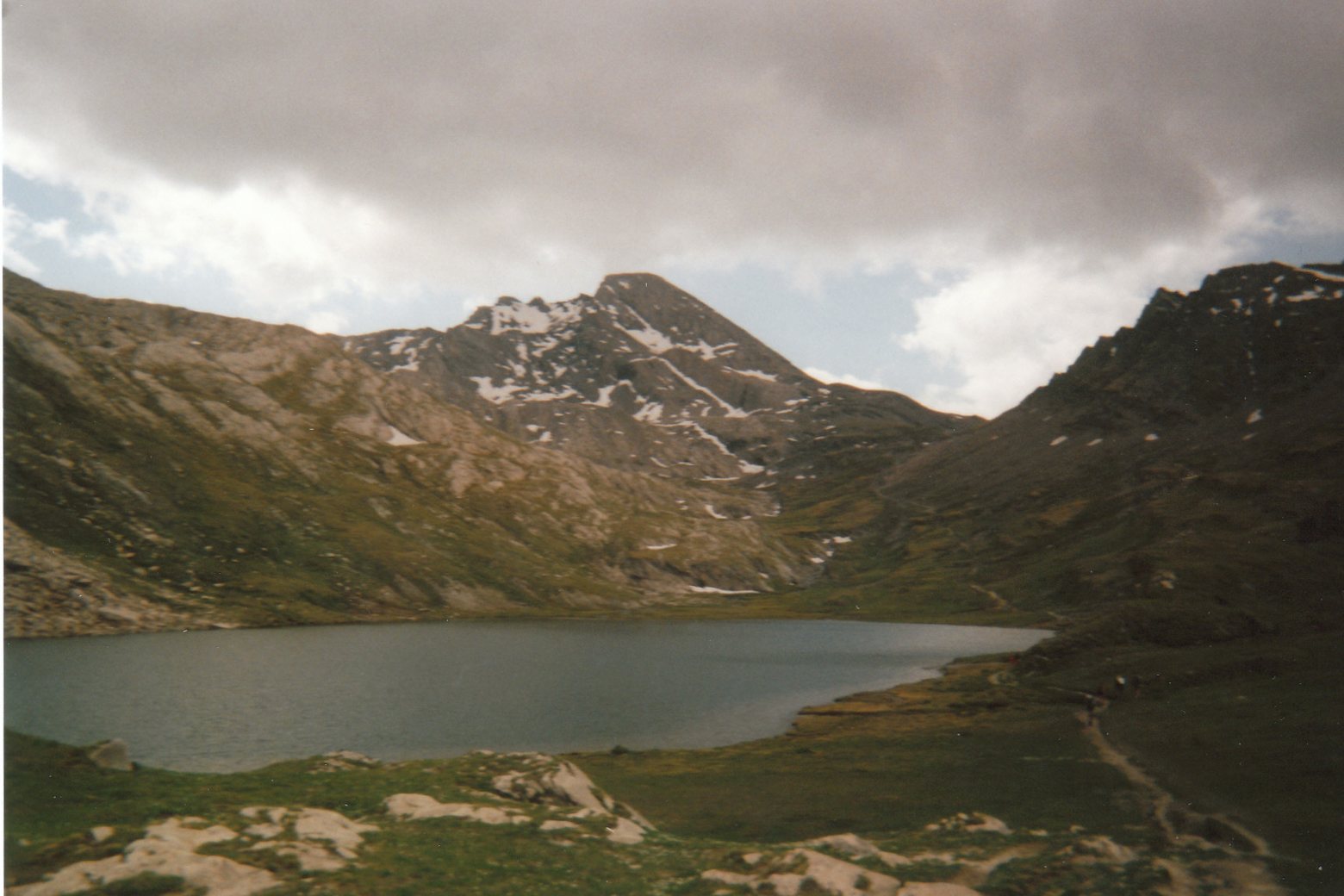
The trail crosses Col des Estronques and Col de Chamoussière, follows Lac Foréant and Lac Égorgéou and returns through Refuge de Furfande (Arvieux). Six marked alternatives are available.
One crosses into Italy at Col d’Urine and returns over Col Lacroix / Colle della Croce. Follow the June 2026 alignment at Col de la Crèche and through Brunissard (Arvieux).
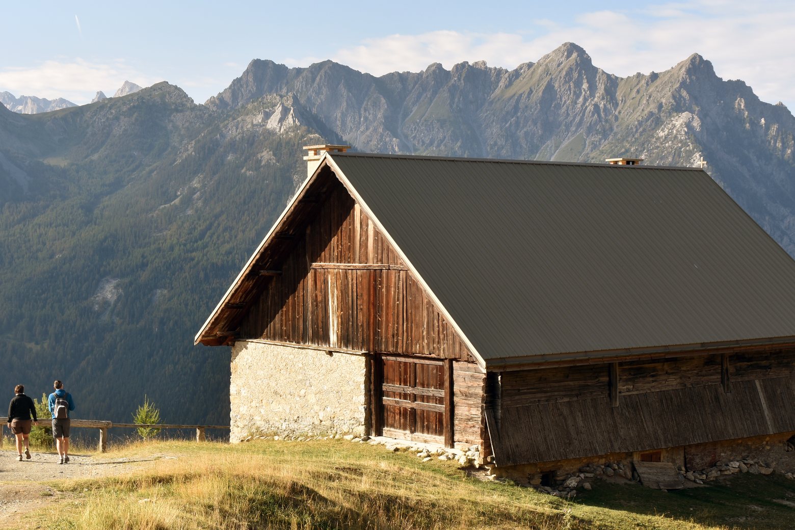
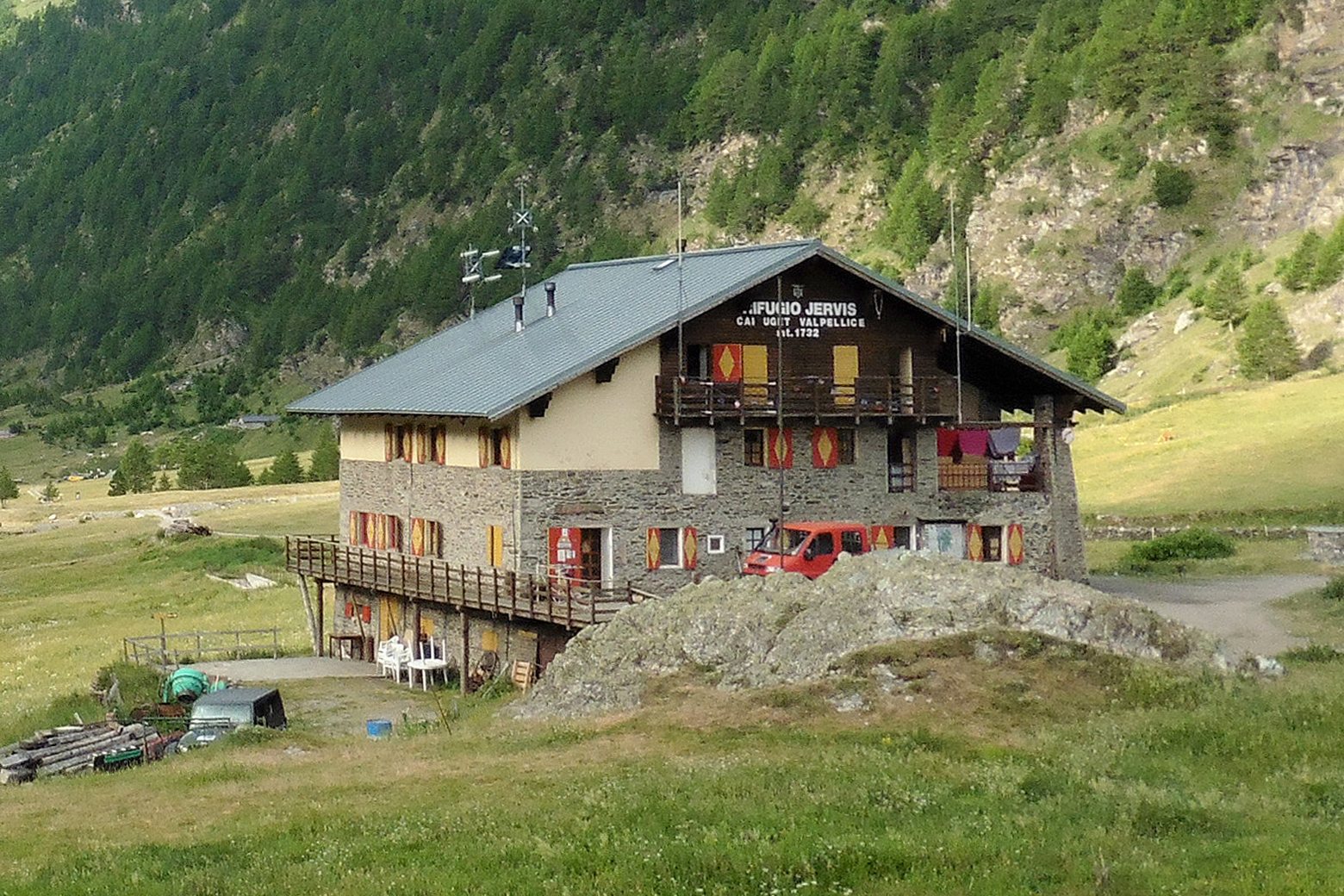
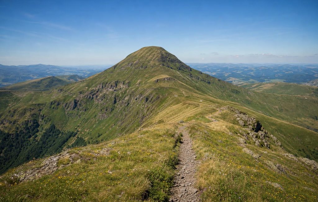
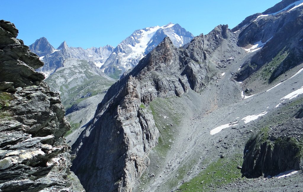
Gallery and cover photographs, Pointe de Rasis depuis les hauteurs du Col des Estronques (Anthospace, CC BY-SA 3.0). Conca del Prà et Rifugio Willy Jervis (Val Pellice) (Heinrich Stürzl, CC BY-SA 4.0).
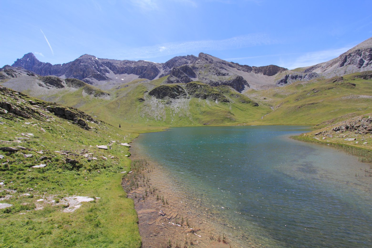
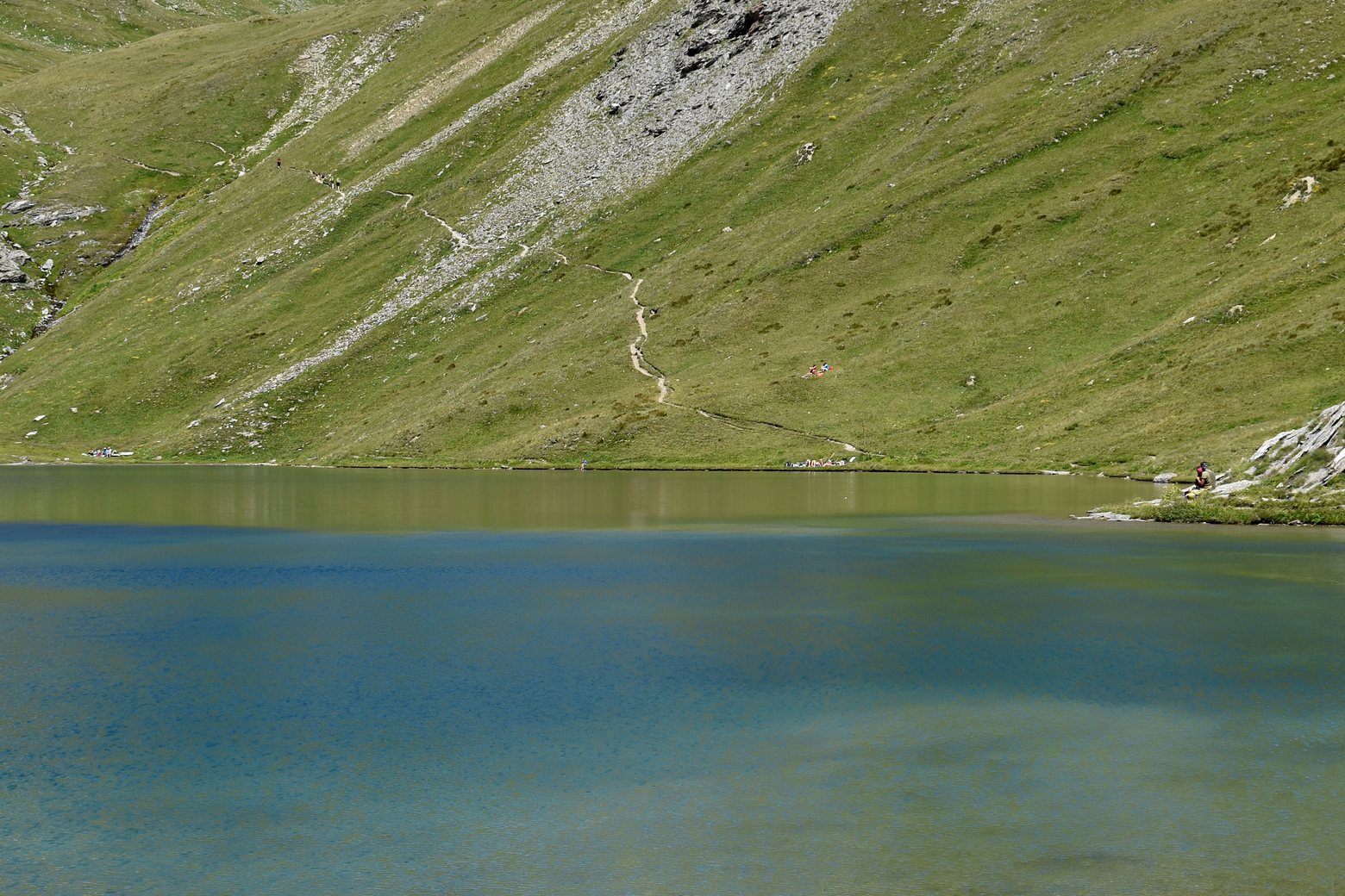
Lac des Cordes, Lac de l’Étoile et Lac de la Madeleine (Cervières) (Jérémy Boes, CC BY-SA 3.0). Lac Foréant depuis le Col Vieux (Dominicus Johannes Bergsma, CC BY-SA 3.0).
Wikimedia Commons. Cropped and resized.
https://nvmoirogqjylyziulvqz.supabase.co/storage/v1/object/public/routes/gr58-tour-du-queyras/photograph-credits-641a4617019c.json
Stages
 Stage 1
Ceillac to Saint-Véran
moderate- Distance
- 12 km
- Ascent
- 1130 m
- Descent
- 787 m
 Stage 2
- Distance
- 12 km
- Ascent
- 912 m
- Descent
- 344 m
 Stage 3
- Distance
- 12 km
- Ascent
- 248 m
- Descent
- 1144 m
 Stage 4
- Distance
- 14 km
- Ascent
- 926 m
- Descent
- 1039 m
 Stage 5
- Distance
- 14 km
- Ascent
- 971 m
- Descent
- 1051 m
 Stage 6
- Distance
- 16 km
- Ascent
- 1149 m
- Descent
- 781 m
 Stage 7
- Distance
- 19 km
- Ascent
- 1389 m
- Descent
- 947 m
 Stage 8
- Distance
- 17 km
- Ascent
- 1051 m
- Descent
- 1680 m
 Stage 9
- Distance
- 7 km
- Ascent
- 772 m
- Descent
- 52 m
 Stage 10
- Distance
- 13 km
- Ascent
- 1367 m
- Descent
- 442 m
 Stage 11
- Distance
- 8 km
- Ascent
- 634 m
- Descent
- 472 m
 Stage 12
- Distance
- 21 km
- Ascent
- 1537 m
- Descent
- 1438 m
 Stage 13
Les Escoyères (Arvieux) to Ceillac
challenging- Distance
- 18 km
- Ascent
- 1229 m
- Descent
- 1106 m
 Stage 14
- Distance
- 17 km
- Ascent
- 847 m
- Descent
- 1566 m
Travel
Find connections for your cammino.
Search trainsMore walks in France
Plan your walking trip
All articles and guidesHow to choose a walking route: stages, days and ascent
How many days can you actually spend walking? Start there, then choose stages that leave you time to stop along the way.
How to plan a walking trip by train and bus
Two different stations, a last bus and a backpack. Fit the journeys out and home around the days you want to spend walking.