Terre Noire, La Ville Dessus (Valmeinier) to Refuge des Marches (Orelle)
- Distance
- 19.2 km
- Ascent
- 1654 m
- Descent
- 1078 m
- Difficulty
- challenging
This separate approach starts at Terre Noire near La Ville Dessus in Valmeinier. It passes Méraloup and Ruisseau de Bordelin, crosses Col de Coburne and follows the shore of Lac de Bissorte to the path for Refuge des Marches. Photograph — Lac de Bissorte (Orelle) (Gilles Excoffon, CC BY-SA 4.0). Wikimedia Commons. Cropped and resized. https://commons.wikimedia.org/wiki/File:Lac_de_Bissorte_%C3%A0_Orelle..jpg · https://creativecommons.org/licenses/by-sa/4.0
Open this stage in Appy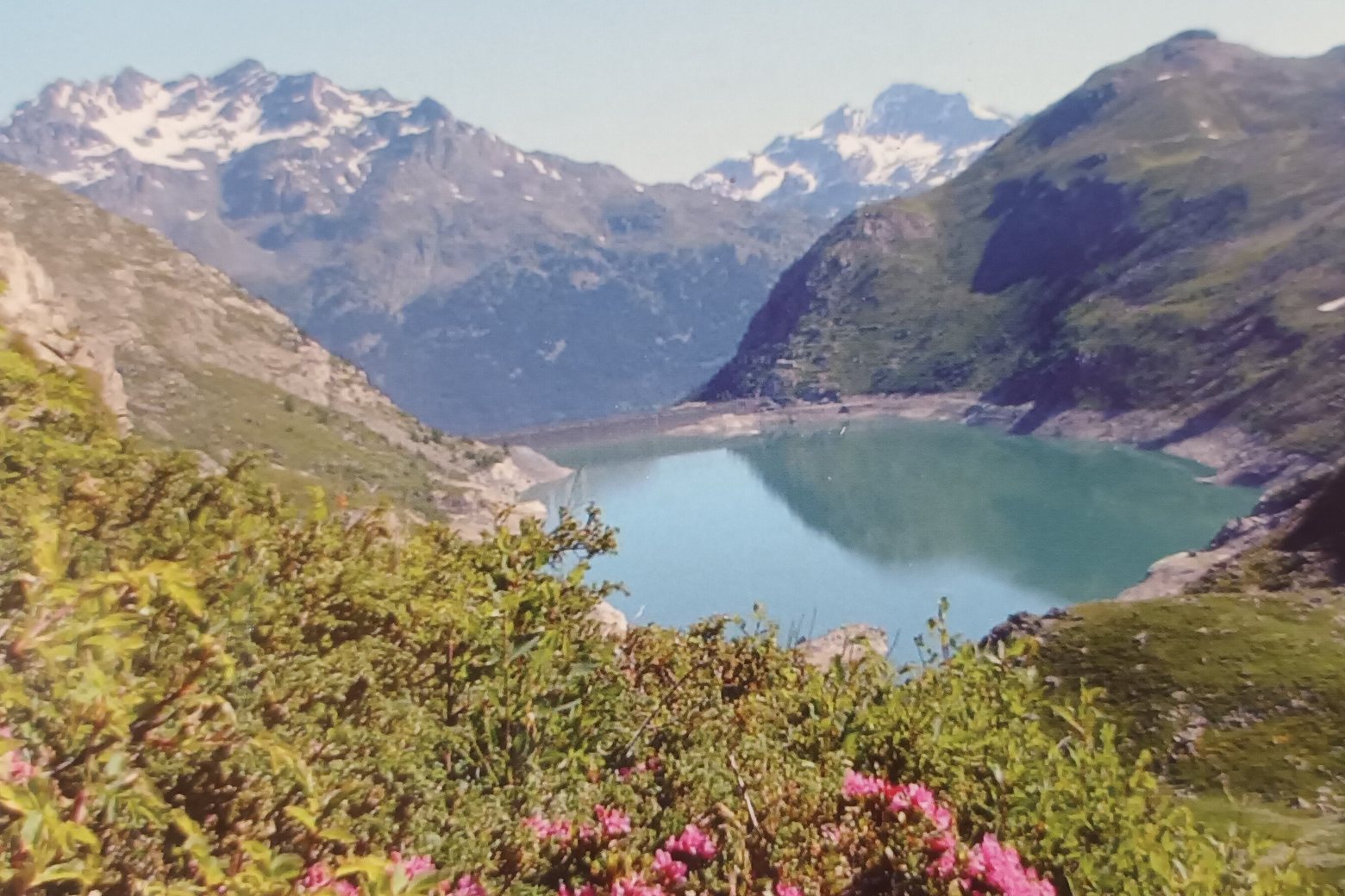
On arrival in Refuge des Marches (Orelle), consider a stop at Croix des Marches, close to the finish.
Look for these places on the stage map: Plan-Bronzin and Longefan.
What to see on this stage
History and landmarks
Croix de la Sandonière
1.8 km from the trail as the crow flies
Croix des Marches
< 100 m from the trail as the crow flies
Nature and landscape
Col de Coburne
< 100 m from the trail as the crow flies
Mont Coburne
Summit · 200 m from the trail as the crow flies