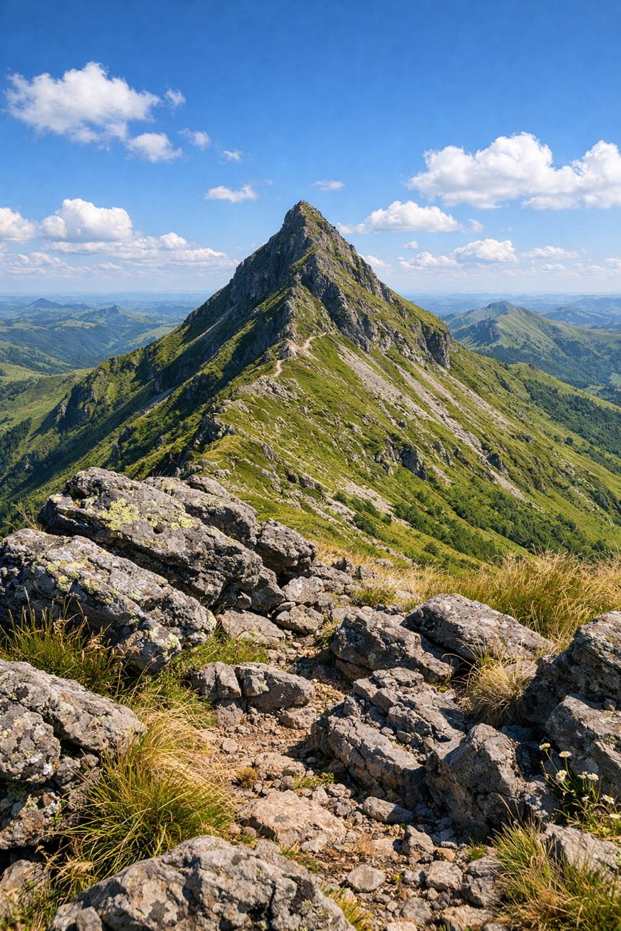
GR400 - Tour du Cantal
Auvergne-Rhône-Alpes, France
France · Murat, France → Murat, France
Distance
143 km
Stages
8
Difficulty
moderate
Best months
Apr-Jun, Sep-Oct
About
A 140 km loop through the heart of France’s Cantal region. Eight stages of undulating terrain, volcanic rock, lush valleys, and the unmistakable scent of wild thyme.
The GR400 is where beginners find their footing and seasoned hikers reconnect with nature. From Murat to Salers, each step reveals a story: medieval churches, local farms, and the towering Puy Griou.
With a total elevation gain of 4,810 m, it’s a journey that tests your resolve while offering panoramic views at every turn. Year-round accessibility, well-marked paths, this is walking redefined.
Stages
8 stages
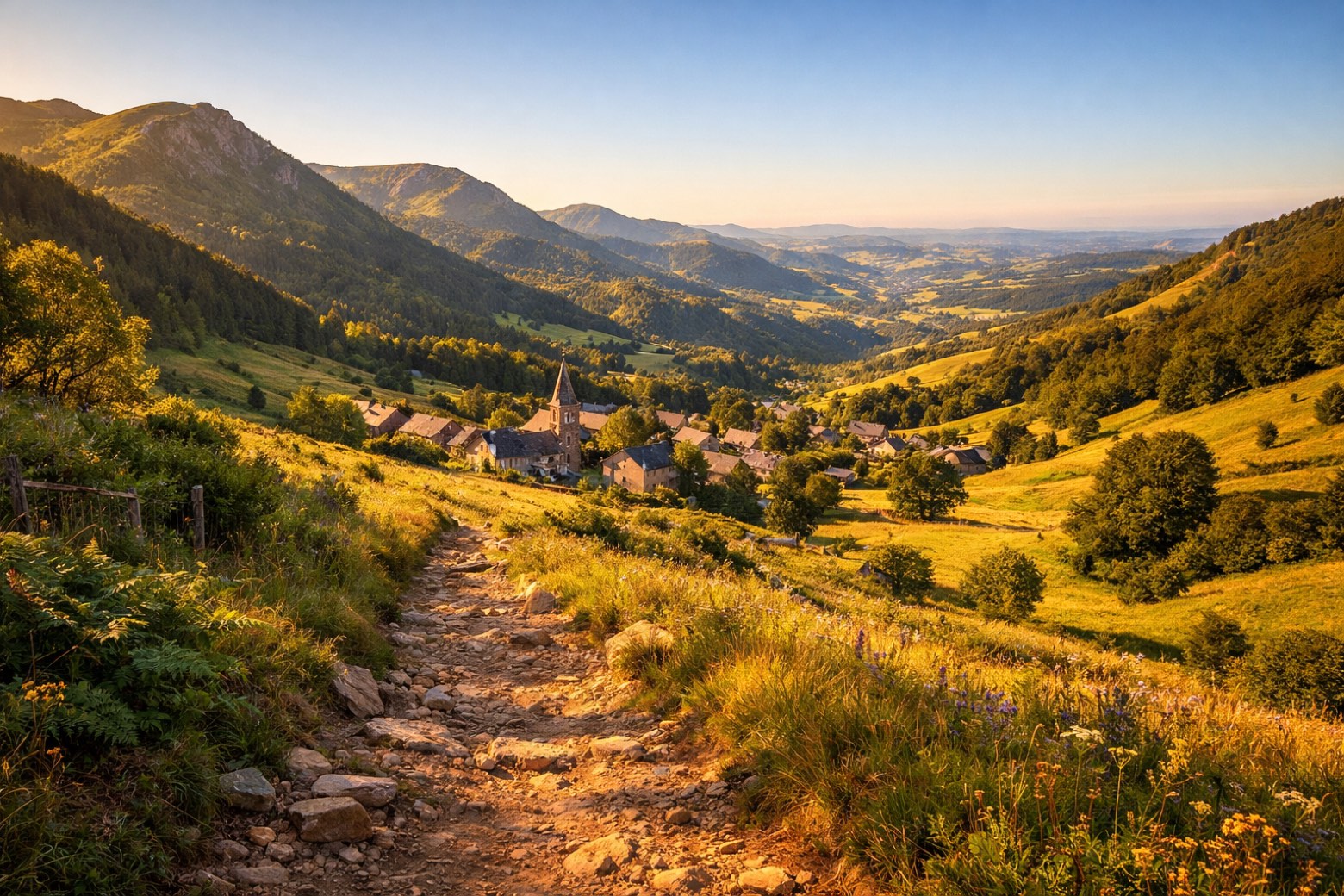 Stage 1
Murat → Le Lioran
moderateDistance20 kmAscent531 mDescent209 m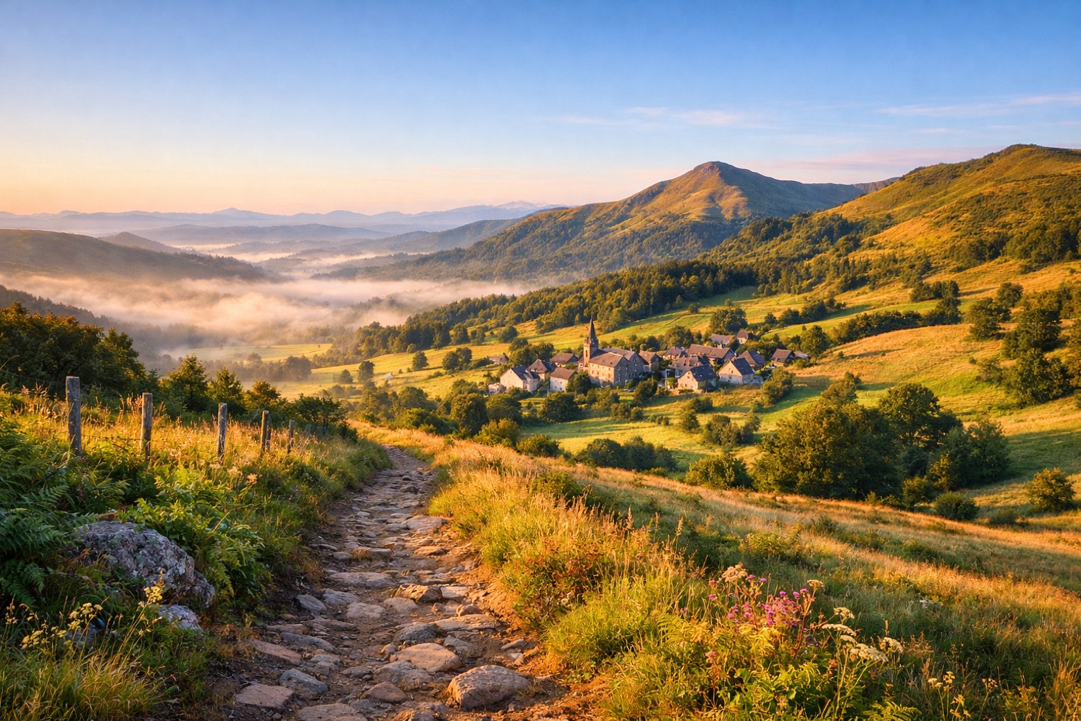 Stage 2
Le Lioran → Le Claux
moderateDistance20 kmAscent918 mDescent968 m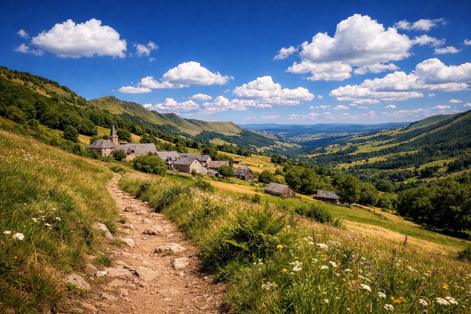 Stage 3
Le Claux → Le Falgoux
moderateDistance15 kmAscent773 mDescent655 m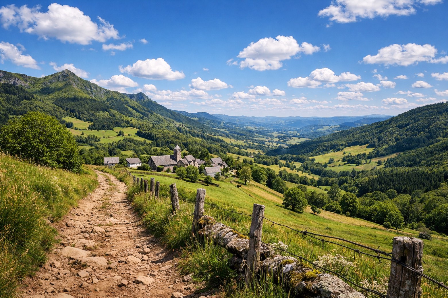 Stage 4
Le Falgoux → Le Fau
moderateDistance18 kmAscent646 mDescent950 m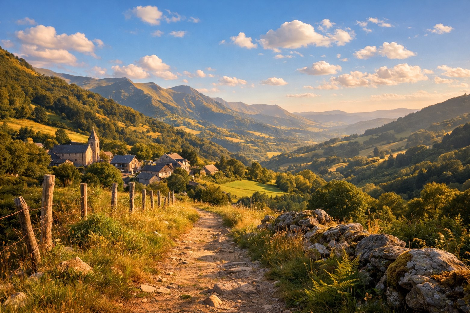 Stage 5
Le Fau → Mandailles
moderateDistance23 kmAscent544 mDescent378 m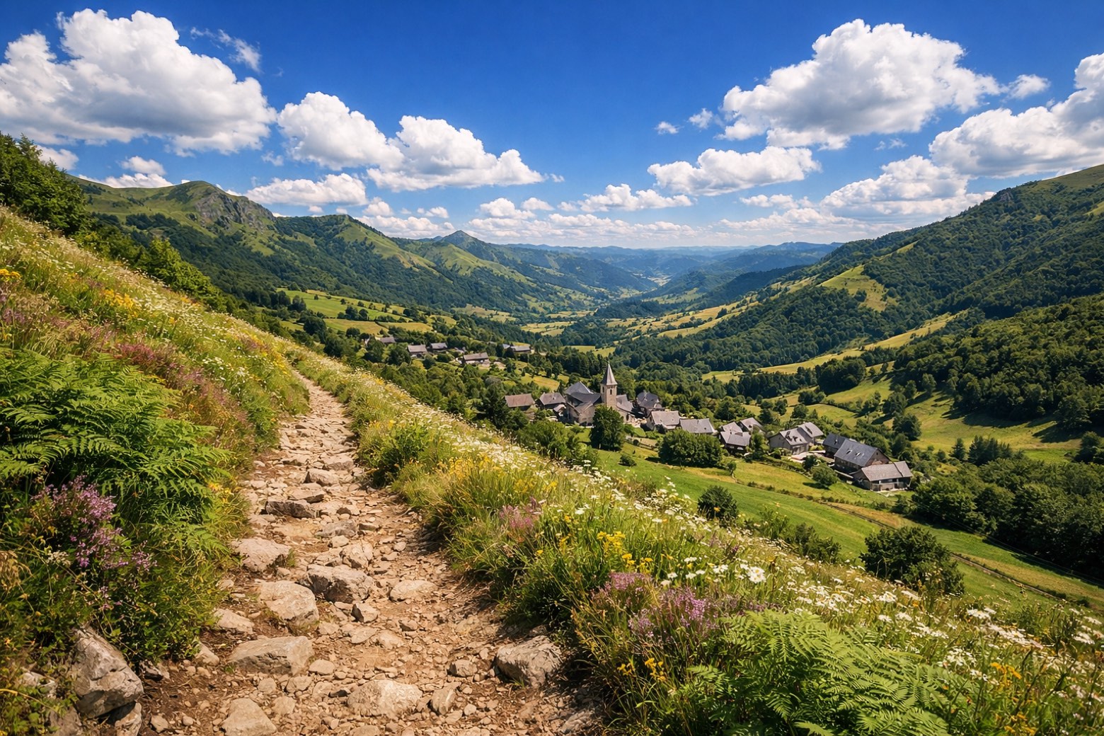 Stage 6
Mandailles → Thiézac
moderateDistance13 kmAscent324 mDescent690 m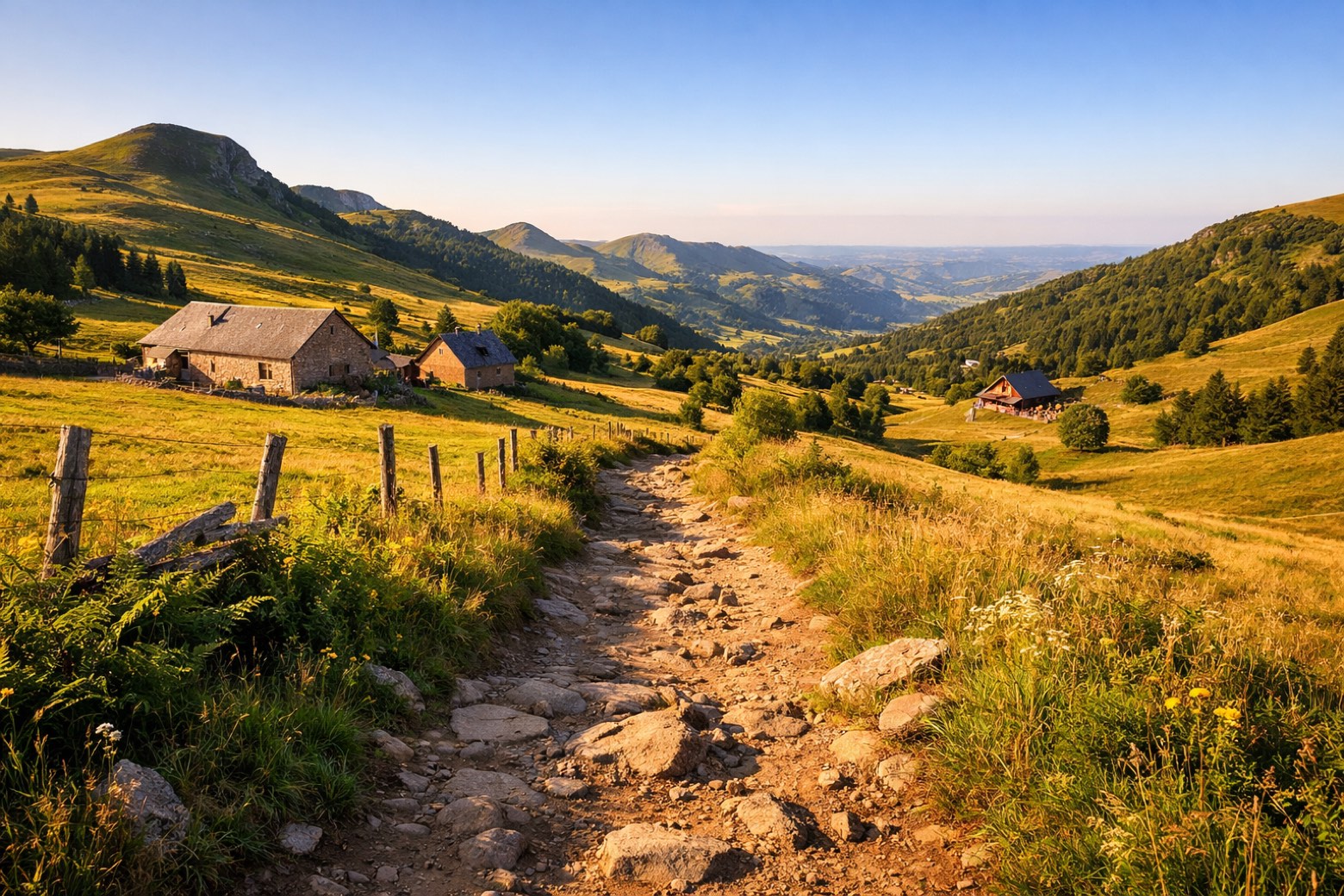 Stage 7
Thiézac → Prat de Bouc
moderateDistance18 kmAscent1019 mDescent404 m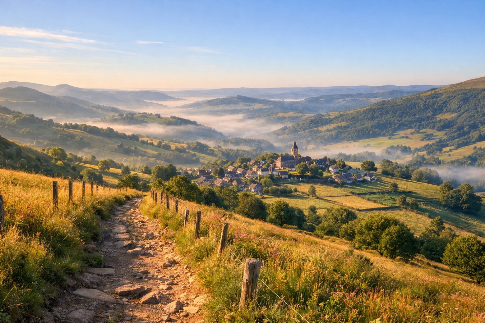 Stage 8Distance17 kmAscent55 mDescent534 m
Points of interest
- Château de Beccoire
Château de Beccoire. 13th-century castle in medieval style, in Albepierre-Bredons, France.
- Château d'Anterroches
Château d'Anterroches. Castle, in Murat, France, designated as monument historique inscrit.
- village fortifié du Roch
village fortifié du Roch. Historic village, in Chastel-sur-Murat, France, designated as classified historical monument.
- Rocher de Bonnevie
- chapelle de l'hôpital de Murat
- chapelle du prieuré Sainte-Thérèse de Murat
- Château du Jarrousset
- Calvaire sur la place publique de Bredons
Travel
Find connections for your cammino.
Search trainsMore walks in France
Plan your walking trip
How to choose a walking route: stages, days and ascent
Choose a walking route by comparing daily stages, available days, ascent and transport links. Practical planning with examples from the Appy catalogue.
How to plan a walking trip by train and bus
Plan travel to and from your walk: stage endpoints, stations, stops and the connection to the trail. A practical guide to routes and transport with Appy.
Take your walk with you: download Appy
GR400 - Tour du Cantal. Explore maps, stages and elevation in the app, and plan your train or bus journey.