Ville Haute (Névache) to Refuge des Drayères (Névache)
- Distance
- 16.7 km
- Ascent
- 962 m
- Descent
- 412 m
- Difficulty
- moderate
Follow the Clarée valley out of Ville Haute. The track passes Chapelle Sainte-Barbe and Laval before crossing Pont de Pierre near Refuge des Drayères. Refuge de Ricou is an optional overnight stop for walkers who split this first day. Photograph — Chapelle Sainte-Barbe (Névache) (MOSSOT, CC BY 3.0). Wikimedia Commons. Cropped and resized. https://commons.wikimedia.org/wiki/File:N%C3%A9vache_-_Vall%C3%A9e_de_la_Clar%C3%A9e_-660.jpg · https://creativecommons.org/licenses/by/3.0
Open this stage in Appy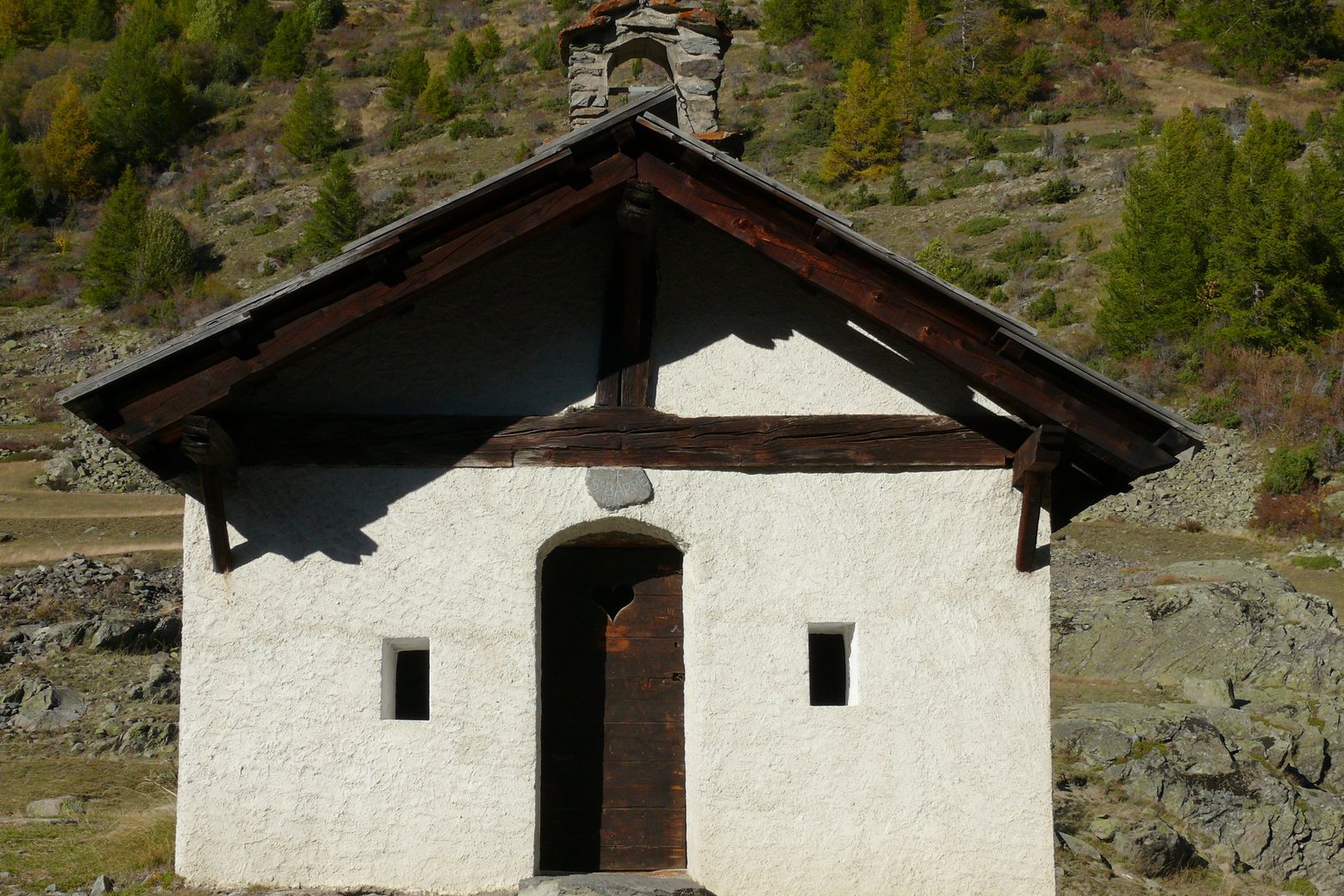
Before leaving Ville Haute (Névache), locate Église Saint-Marcellin-et-Saint-Antoine de Névache on the map. It is close to the starting point.
Look for these places on the stage map: Derrière le Moulin.
What to see on this stage
History and landmarks
Chapelle Sainte-Barbe (Névache)
Chapel · < 100 m from the trail as the crow flies
Église Saint-Marcellin-et-Saint-Antoine de Névache
< 100 m from the trail as the crow flies
Nature and landscape
Lac de la Clarée (Névache)
Lake · 1.6 km from the trail as the crow flies