Refuge du Mont Thabor (Modane) to Ville Haute (Névache)
- Distance
- 17.6 km
- Ascent
- 730 m
- Descent
- 1600 m
- Difficulty
- moderate
Cross Col de la Vallée Étroite and descend towards Pont de la Fonderie. A second climb crosses Col du Vallon. From the Saint Benoît sign the last kilometre returns to Ville Haute, closing the loop in Névache. Photograph — Église Saint-Marcellin-et-Saint-Antoine de Névache (MOSSOT, CC BY 3.0). Wikimedia Commons. Cropped and resized. https://commons.wikimedia.org/wiki/File:N%C3%A9vache_-621.jpg · https://creativecommons.org/licenses/by/3.0
Open this stage in Appy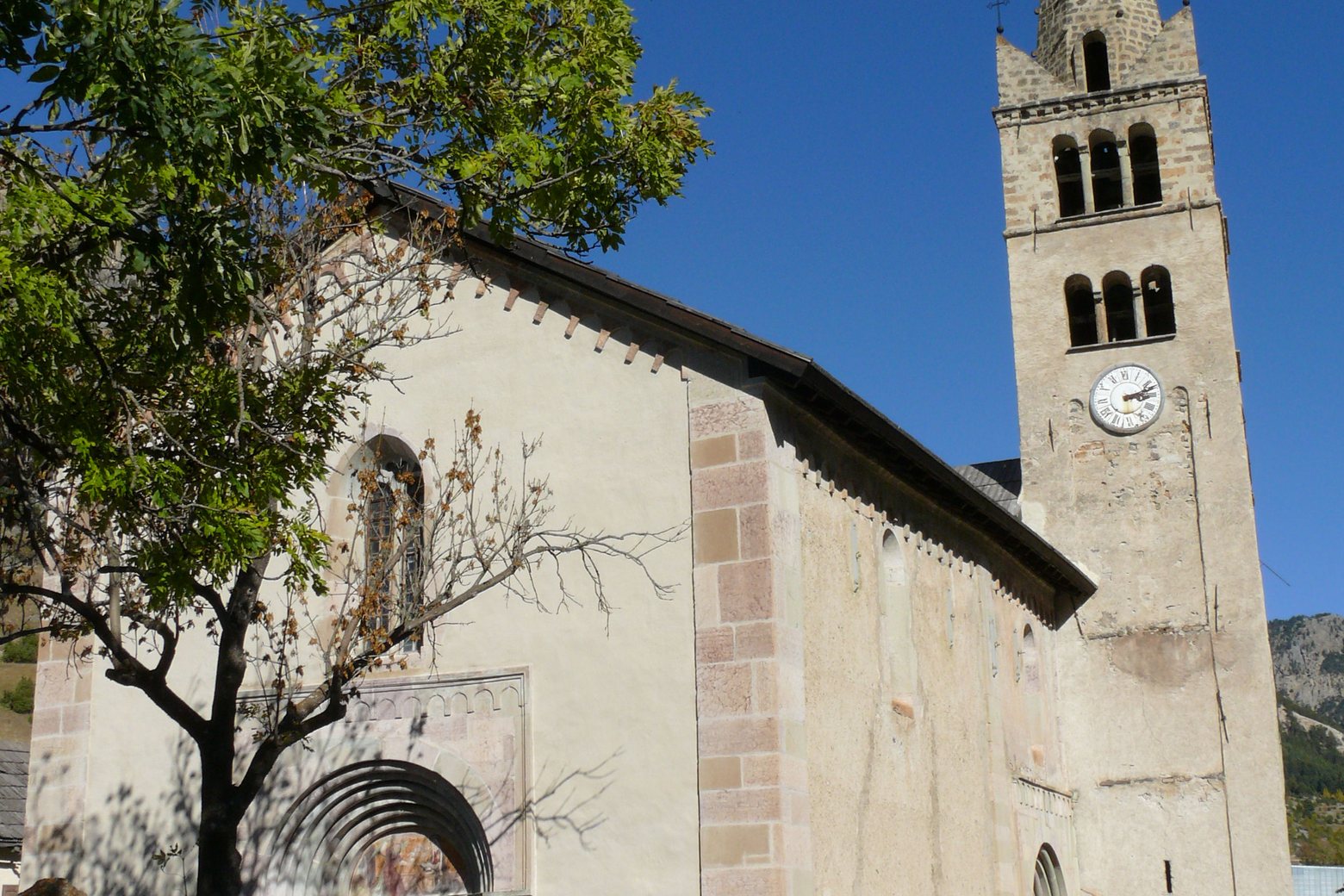
Before leaving Refuge du Mont Thabor (Modane), locate Passage Sainte-Marguerite on the map. It is close to the starting point. On arrival in Ville Haute (Névache), consider a stop at Église Saint-Marcellin-et-Saint-Antoine de Névache, close to the finish.
Look for these places on the stage map: Derrière le Moulin.
What to see on this stage
History and landmarks
Chapelle Sainte-Barbe (Névache)
Chapel · 900 m from the trail as the crow flies
Église Saint-Marcellin-et-Saint-Antoine de Névache
< 100 m from the trail as the crow flies
Nature and landscape
Col de la Vallée-Étroite
< 100 m from the trail as the crow flies
Passage Sainte-Marguerite
< 100 m from the trail as the crow flies