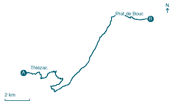
Thiézac → Prat de Bouc
Walking distance 19 km
Download Appy for the stage map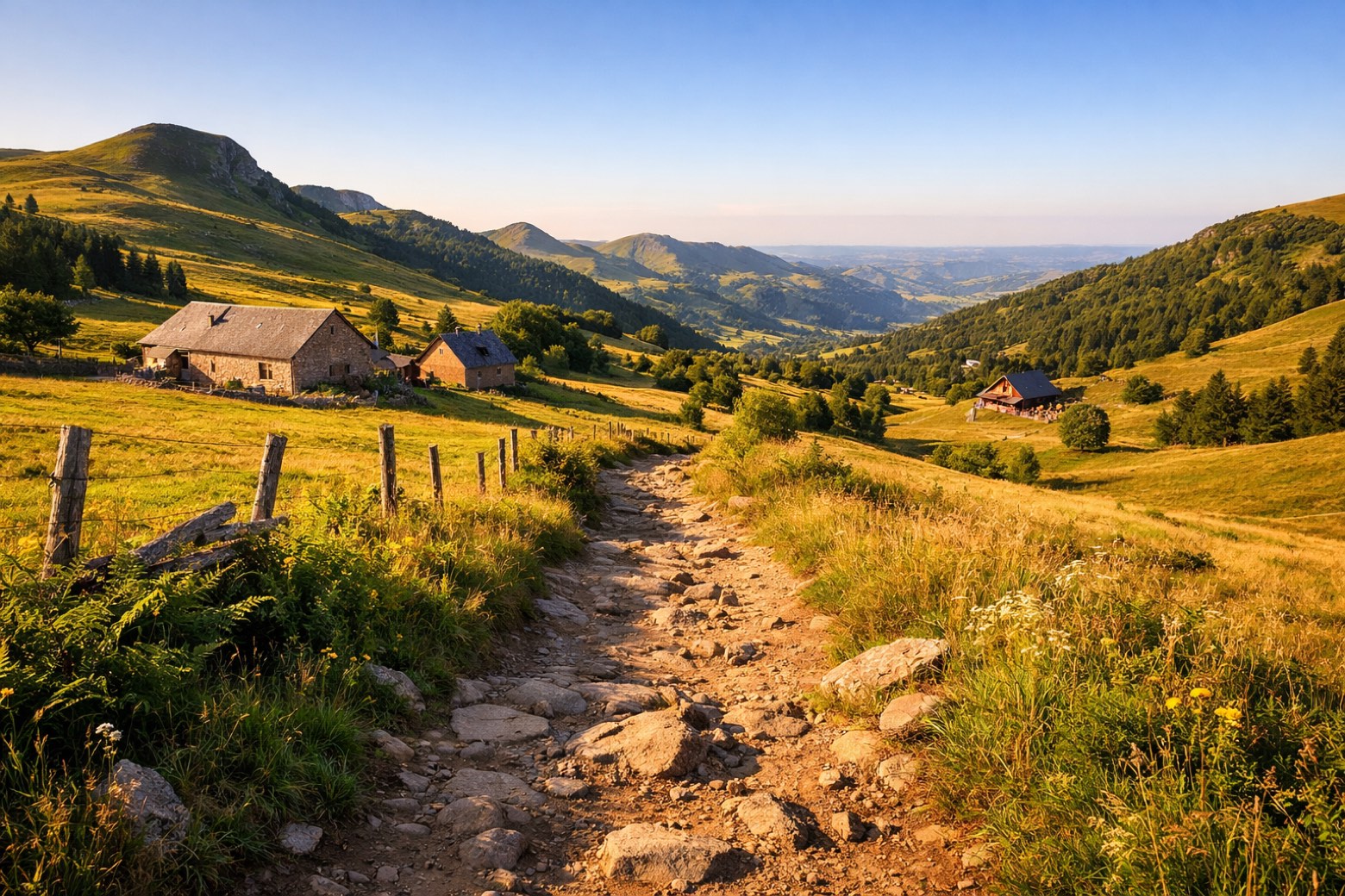
Stage information
- Ascent
- 1054 m
- Descent
- 456 m
Difficulty: moderate
Walking the stage
Climb hard on this 19 km stage from Thiézac to Prat de Bouc, through Lafon and Sanissage, with 1,054 m of ascent.
Look for these places on the stage map: Lagoutte, Lafon, Les Gouffraldes, and Sanissage.
At the Col de Prat de Bouc, look for the bowl-shaped landscape below the Plomb du Cantal. The mountain pastures here occupy part of Auvergne’s volcanic massif.
Read more at Domaine de Prat de Bouc.
Map · Thiézac → Prat de Bouc
Take your walk with you: download Appy
GR400 - Tour du Cantal: Thiézac → Prat de Bouc. Explore maps, stages and elevation in the app, and plan your train or bus journey.

