
Camino de Lourdes
Hautes-Pyrénées, France
France · Lourdes, France → Saint-Jean-Pied-de-Port, France
Distance
156 km
Stages
7
Difficulty
moderate
Best months
Apr-Jun, Sep-Oct
About
A 156-kilometer spiritual route through the Pyrenees. From the incense-laden Sanctuary of Our Lady of Lourdes to the cobbled streets of Saint-Jean-Pied-de-Port, this path resonates with centuries of devotion.
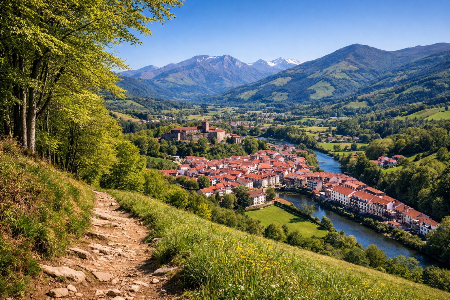
Seven stages, 5147 meters of elevation gain, lead you past thermal springs in Cauterets and the verdant valleys of Argelès-Gazost. Ancient chapels whisper tales of faith as you tread the well-worn earth.
Hike it from April to June or September to October, when the air is crisp and the mountains stand sentinel, inviting reflection with every step.
Stages
7 stages
 Stage 1
Lourdes → Saint-Pé-de-Bigorre
moderateDistance12 kmAscent351 mDescent408 m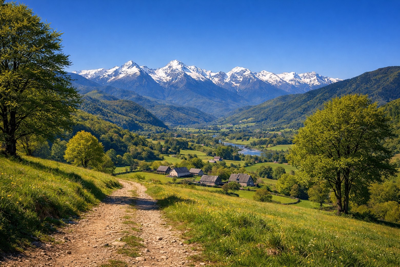 Stage 2
Saint-Pé-de-Bigorre → Arudy
challengingDistance33 kmAscent1095 mDescent1036 m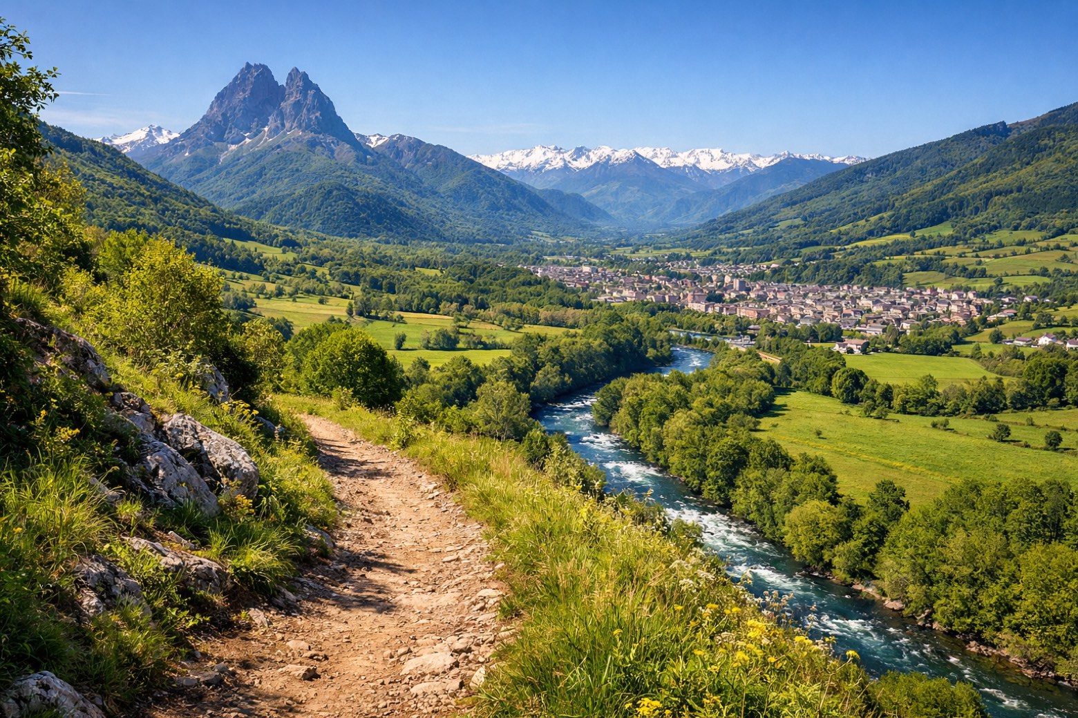 Stage 3
Arudy → Oloron-Sainte-Marie
moderateDistance25 kmAscent469 mDescent657 m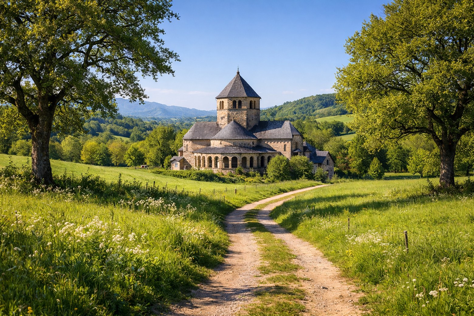 Stage 4Distance23 kmAscent424 mDescent481 m
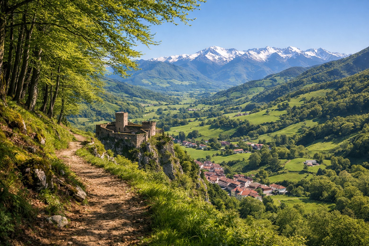 Stage 5Distance17 kmAscent898 mDescent921 m
 Stage 6
Mauléon-Licharre → Saint-Just-Ibarre
challengingDistance23 kmAscent1066 mDescent1039 m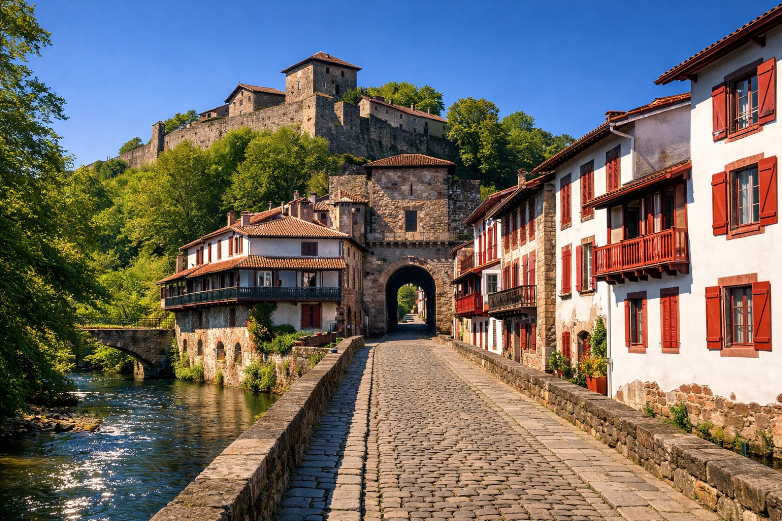 Stage 7Distance24 kmAscent844 mDescent828 m
Travel
Find connections for your cammino.
Search trainsMore walks in France

Plan your walking trip
How to choose a walking route: stages, days and ascent
Choose a walking route by comparing daily stages, available days, ascent and transport links. Practical planning with examples from the Appy catalogue.
How to plan a walking trip by train and bus
Plan travel to and from your walk: stage endpoints, stations, stops and the connection to the trail. A practical guide to routes and transport with Appy.
Take your walk with you: download Appy
Camino de Lourdes. Explore maps, stages and elevation in the app, and plan your train or bus journey.