Morigerati → Caselle in Pittari
Walking distance 9.8 km
Download Appy for the stage map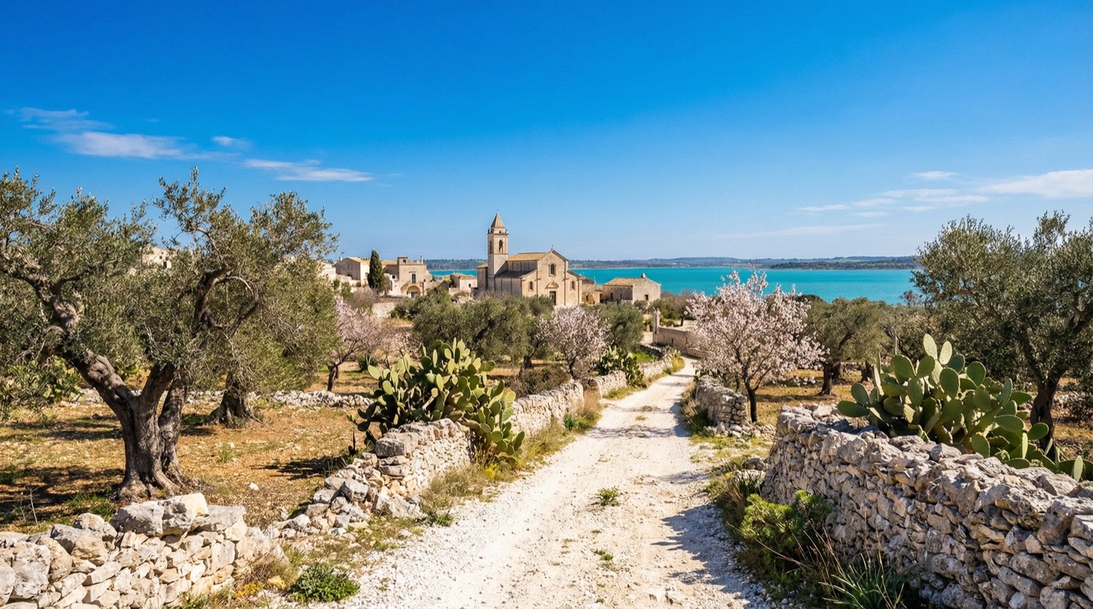
Stage information
- Ascent
- 676 m
- Descent
- 536 m
Difficulty: moderate
Walking the stage
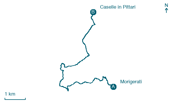
Climb steadily over 10 km from Morigerati to Caselle in Pittari, gaining 676 m of height on a steady day of walking.
Before leaving Morigerati, locate Morigerale on the map. It is close to the starting point. On arrival in Caselle in Pittari, consider a stop at Caselle, close to the finish.
What to see on this stage
History and landmarks
Morigerale
< 100 m from the trail as the crow flies
Morigerati is a typical medieval village that still retains the original characteristics of architecture and urban planning, such as the aggregation of building bodies, the morphology and typology of the buildings, the definition of construction details and ornamental features.
Caselle
400 m from the trail as the crow flies
Center dominated by a majestic cylindrical tower, all that remains of the ancient 13th-century castle.
Map · Morigerati → Caselle in Pittari
Take your walk with you: download Appy
Cammino di San Nilo: Morigerati → Caselle in Pittari. Explore maps, stages and elevation in the app, and plan your train or bus journey.

