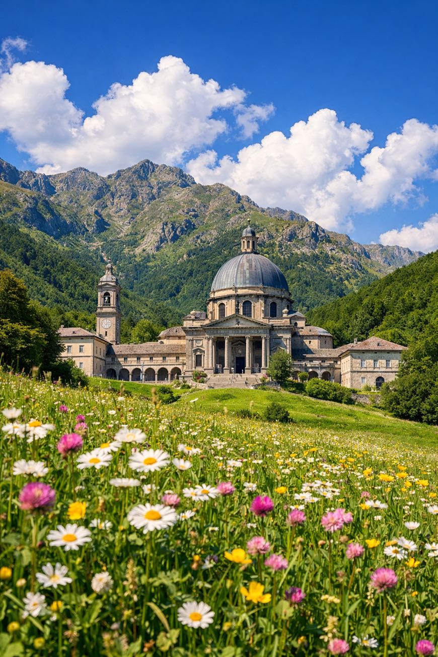
Cammino di Oropa della Serra
Piemonte, Italy
Italy · Santhià, Italy → Biella, Italy
Distance
64 km
Stages
4
Difficulty
moderate
Best months
Apr-Jun, Sep-Oct
About
A 90 km cultural walk from Santhià to Biella. Eight stages of rolling hills, ancient villages, and the scent of wild thyme.
The Cammino di Oropa traces the footsteps of Saint Charles Borromeo, who shaped the region’s spiritual landscape. With 3,414 m of elevation gain, it’s approachable for beginners, yet every ascent is a gentle reminder of nature’s power.
Key stops like La Mandria and the Bose Monastery enrich the experience. Best walked in spring or autumn, this route invites a week of reflection and connection to the land.
Stages
4 stages
- Stage 1
Santhià → Roppolo
moderateDistance16 kmAscent189 mDescent101 m - Stage 2
Roppolo → Sala Biellese
moderateDistance18 kmAscent443 mDescent228 m - Stage 3Distance16 kmAscent623 mDescent407 m
- Stage 4Distance15 kmAscent911 mDescent569 m
Points of interest
- Sacro Monte di Graglia
- Purcarel
- chiesa della Santissima Trinità
chiesa della Santissima Trinità. Church, in Santhià, Italy.
- Castello di Bollengo
Castle. Bollengo Castle (Italian: Castello di Bollengo) is a castle located in Bollengo, Piedmont, Italy..
- Castellazzo
Castellazzo. Castle, in Donato, Italy, designated as Italian national heritage.
- Chioso (archaeological site)
- Castello Rondolino
Castle. Rondolino Castle (Italian: Castello Rondolino) is a castle located in Cavaglià, Piedmont, Italy..
- chiesa del Santo Rosario
Travel
Find connections for your cammino.
Search trainsMore walks in Italy
Plan your walking trip
How to choose a walking route: stages, days and ascent
Choose a walking route by comparing daily stages, available days, ascent and transport links. Practical planning with examples from the Appy catalogue.
How to plan a walking trip by train and bus
Plan travel to and from your walk: stage endpoints, stations, stops and the connection to the trail. A practical guide to routes and transport with Appy.
Take your walk with you: download Appy
Cammino di Oropa della Serra. Explore maps, stages and elevation in the app, and plan your train or bus journey.