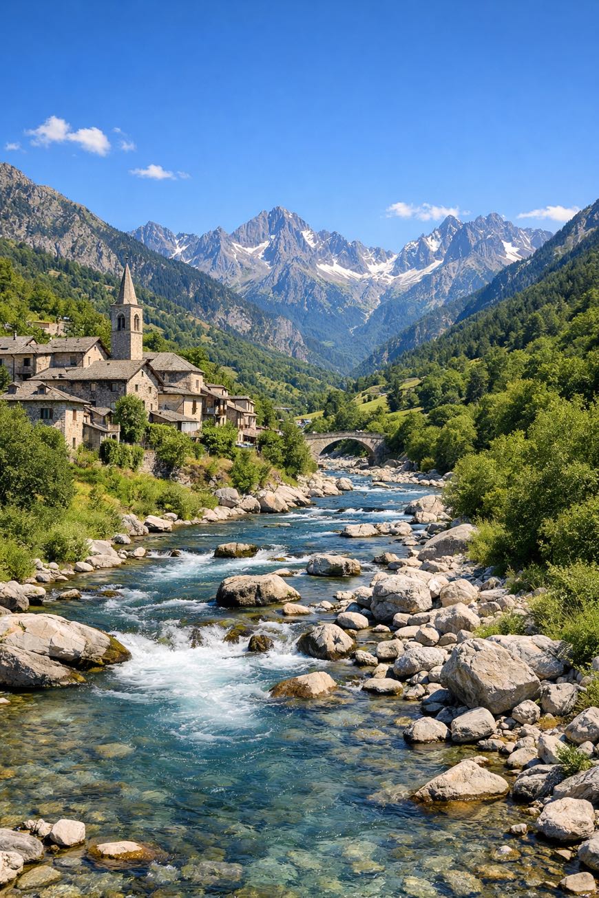
Via di Sant'Anna
Piemonte, Italy
Italy · Cerialdo, Italy → Vinadio, Italy
Distance
131 km
Stages
5
Difficulty
moderate
Best months
Apr-Jun, Sep-Oct
About
A 130 km spiritual route through the Piedmont region. From Cerialdo to Vinadio, five stages of rolling hills and rugged paths await.
The scent of wild rosemary fills the air as you pass historic chapels and churches, each a testament to the rich heritage of Sant'Anna. With an elevation gain of 4,643 m, this journey challenges and rewards.
Cuneo and Vinadio mark key waypoints, while the route remains accessible year-round, perfect for beginners. April to June and September to October are ideal months to walk this path of reflection.
Stages
5 stages
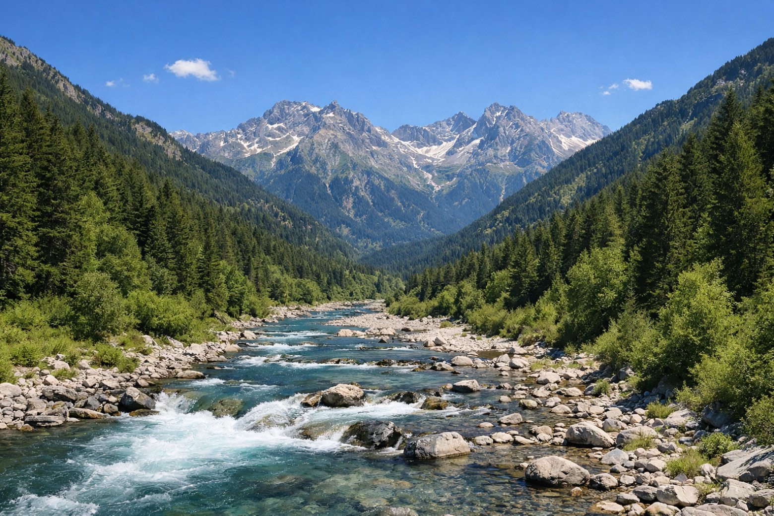 Stage 1
Cerialdo → Vinadio
challengingDistance68 kmAscent1886 mDescent424 m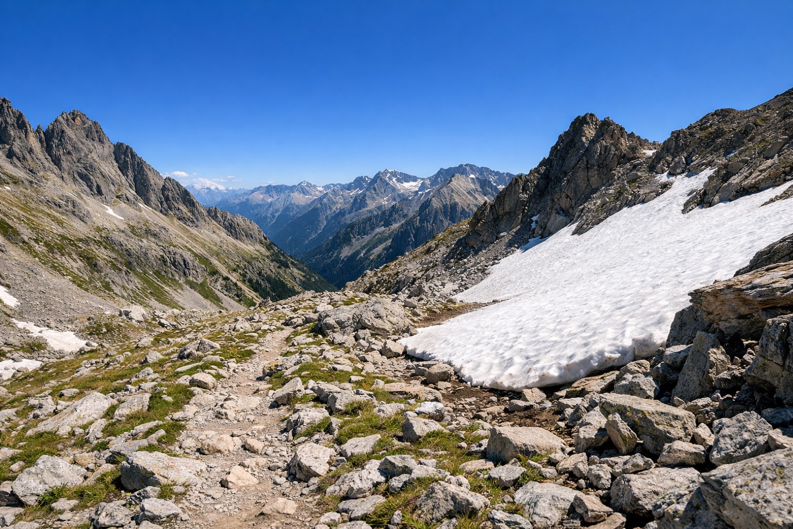 Stage 2Distance19 kmAscent212 mDescent109 m
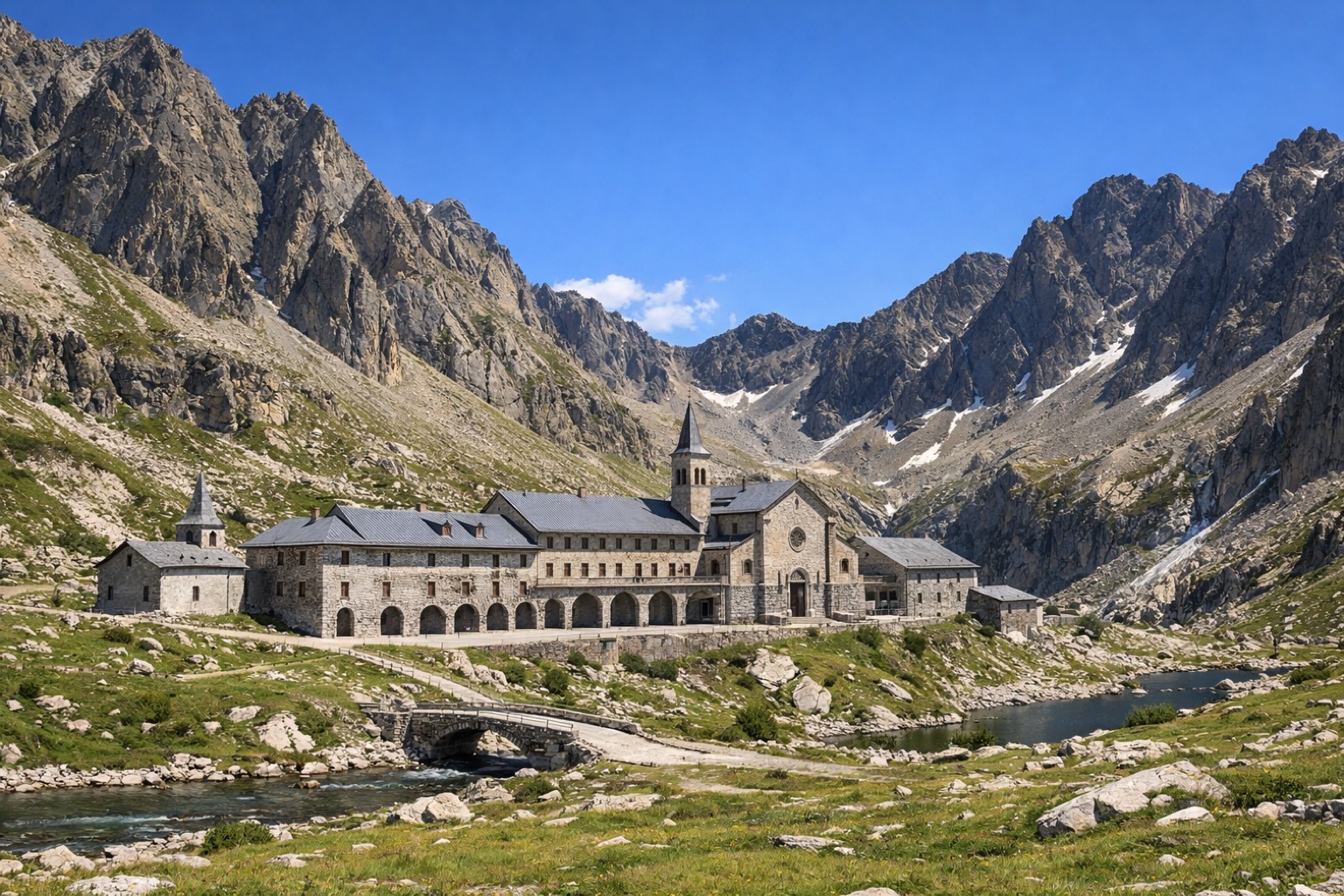 Stage 3
Castelletto → Demonte
moderateDistance17 kmAscent606 mDescent531 m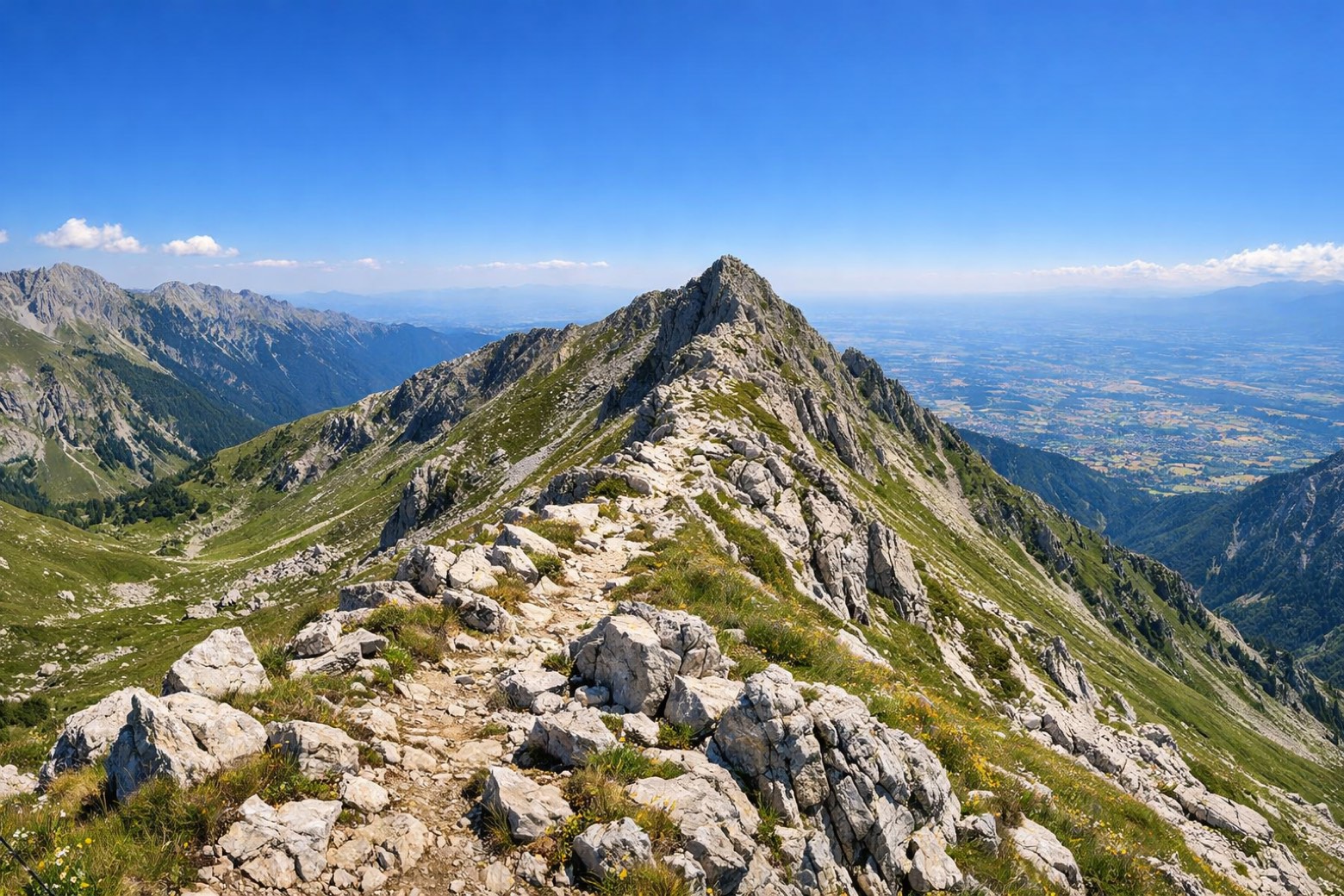 Stage 4
Demonte → Pratolungo
moderateDistance14 kmAscent748 mDescent636 m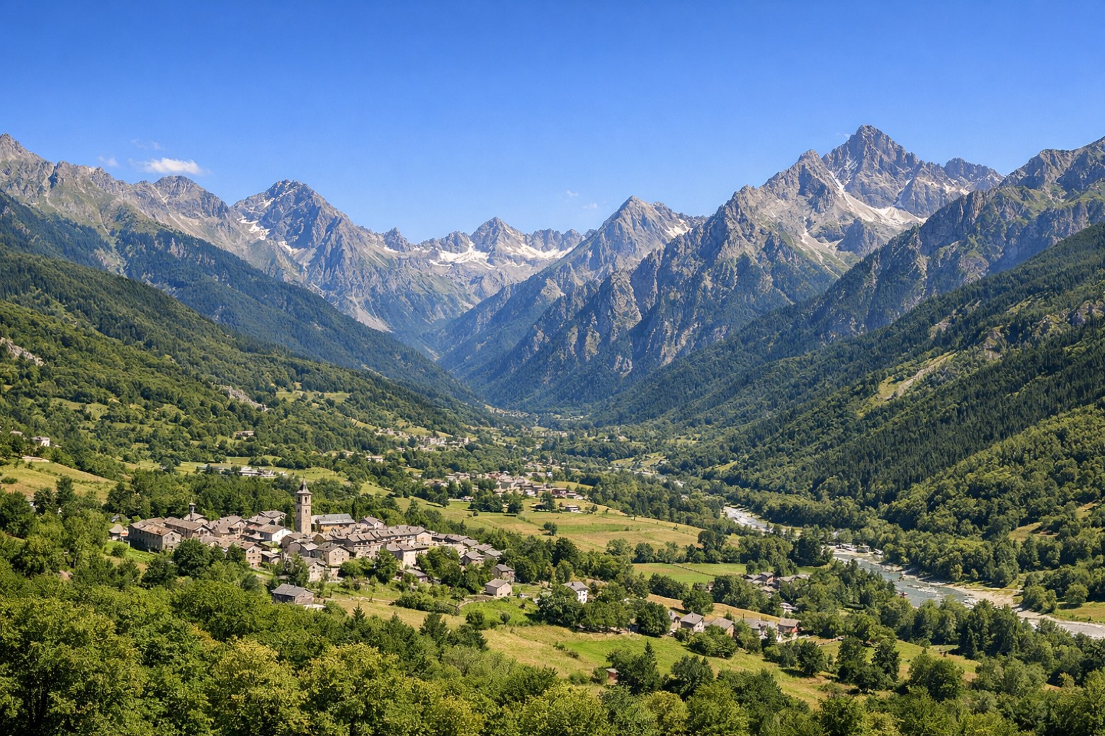 Stage 5
Pratolungo → Vinadio
moderateDistance12 kmAscent1191 mDescent127 m
Points of interest
Travel
Find connections for your cammino.
Search trainsMore walks in Italy

Plan your walking trip
How to choose a walking route: stages, days and ascent
Choose a walking route by comparing daily stages, available days, ascent and transport links. Practical planning with examples from the Appy catalogue.
How to plan a walking trip by train and bus
Plan travel to and from your walk: stage endpoints, stations, stops and the connection to the trail. A practical guide to routes and transport with Appy.
Take your walk with you: download Appy
Via di Sant'Anna. Explore maps, stages and elevation in the app, and plan your train or bus journey.