Mongiana → Bivongi
Walking distance 30.6 km
Download Appy for the stage map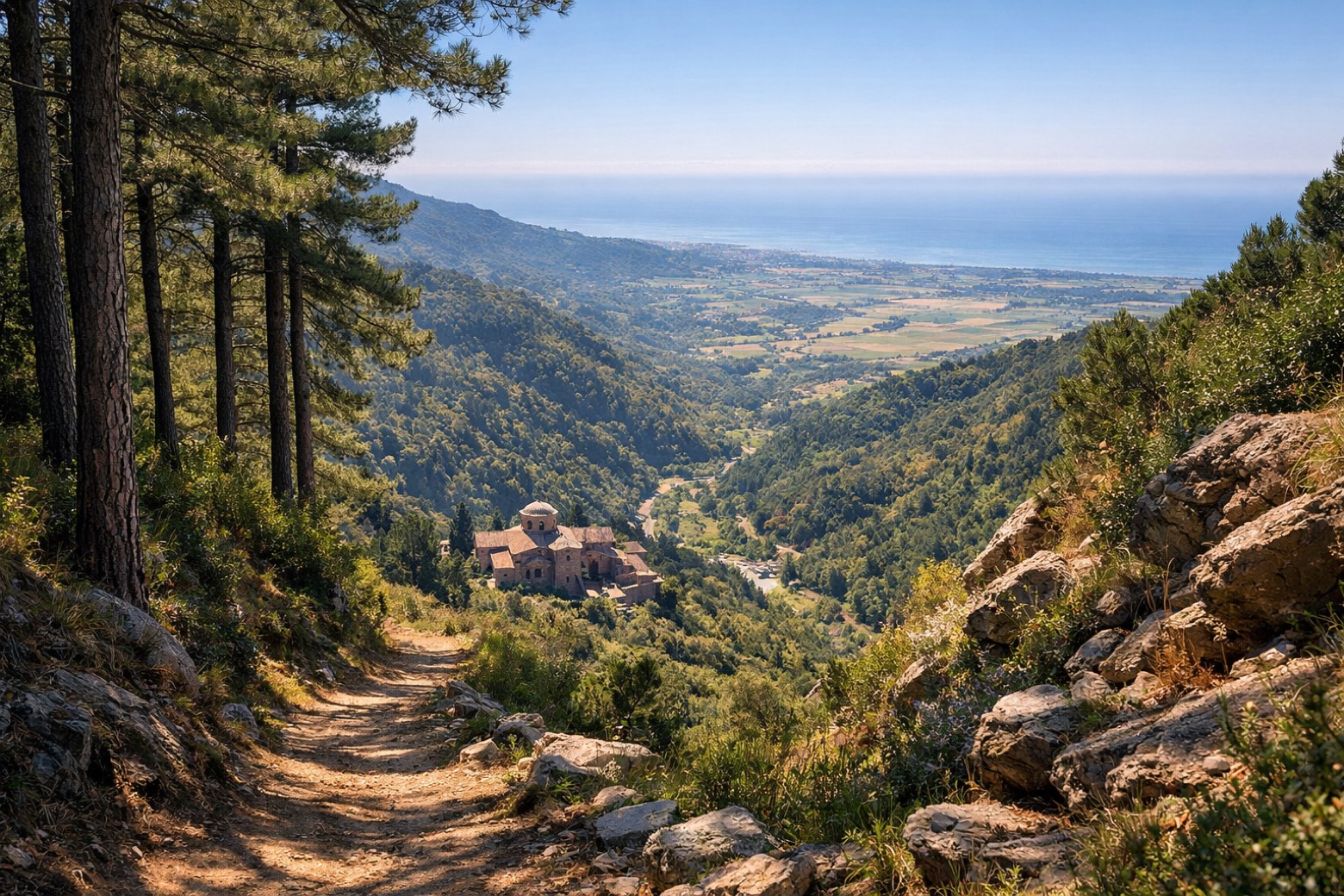
Stage information
- Ascent
- 2020 m
- Descent
- 2666 m
Difficulty: challenging
Walking the stage
The longest stage descends through dense beech forest past the Cascata del Marmarico, southern Italy's tallest waterfall at 114m, to the Greek Orthodox monastery at Bivongi.
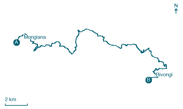
Before leaving Mongiana, locate Mongiana on the map. It is close to the starting point. On arrival in Bivongi, consider a stop at Bivongi, close to the finish.
Look for these places on the stage map: Contra colla della Ficara and Acqua Caudda.
What to see on this stage
History and landmarks
Mongiana
< 100 m from the trail as the crow flies
Bivongi
100 m from the trail as the crow flies
Nature and landscape
Ontano nero di Vallone Folea, Bivongi
Monumental tree · 1.6 km from the trail as the crow flies
Italy’s monumental tree register identifies this specimen as Alnus glutinosa (L.) Gaertn. It records a height of 20 m and a trunk circumference of 350 cm.
Fiumara Stilaro
1.7 km from the trail as the crow flies
Map · Mongiana → Bivongi
Take your walk with you: download Appy
Cammino del Normanno: Mongiana → Bivongi. Explore maps, stages and elevation in the app, and plan your train or bus journey.

