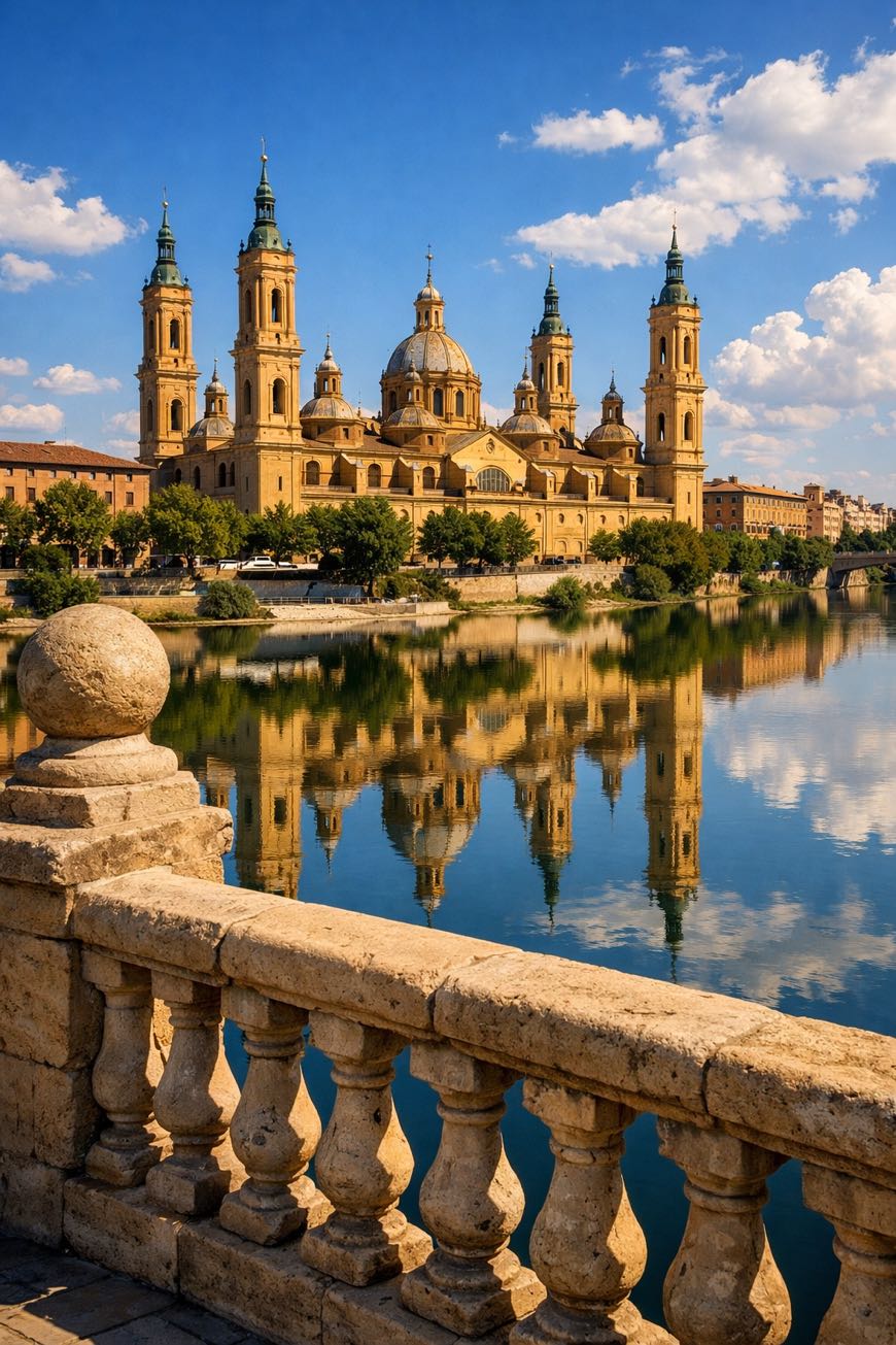
Camino Jacobeo del Ebro
Aragón, Spain
Spain · Deltebre → Calahorra
Distance
401 km
Stages
15
Difficulty
moderate
Best months
Apr-Jun, Sep-Oct
Camino Jacobeo del Ebro · Stages and distances
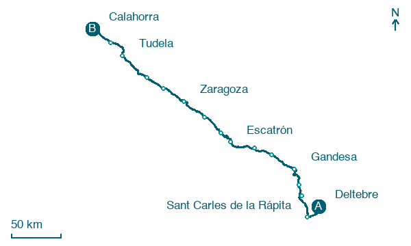
Walking distances for Appy’s stages (15)
| Stage | km |
|---|---|
| 1. Deltebre → Sant Carles de la Rápita | 33 |
| 2. Sant Carles de la Rápita → Tortosa | 29.8 |
| 3. Tortosa → Xerta | 14.4 |
| 4. Xerta → Gandesa | 27 |
| 5. Gandesa → Fabara | 30.3 |
| 6. Fabara → Caspe | 21 |
| 7. Caspe → Escatrón | 29.5 |
| 8. Escatrón → Velilla de Ebro | 24.6 |
| 9. Velilla de Ebro → Fuentes de Ebro | 27.8 |
| 10. Fuentes de Ebro → Zaragoza | 30.6 |
| 11. Zaragoza → Alagón | 28.5 |
| 12. Alagón → Gallur | 21 |
| 13. Gallur → Tudela | 36 |
| 14. Tudela → Alfaro | 23.4 |
| 15. Alfaro → Calahorra | 24 |
| Total | 400.9 |
About
about 400 km from Riumar to Logroño, a long-distance trail that demands respect. Through the Ebro Delta, a UNESCO Biosphere Reserve, you’ll breathe in the briny air, punctuated by the calls of migratory birds.
This spiritual route unfolds over 15 stages, crossing Deltebre, Vinallop, and Sobradiel, where the Church of San Juan Bautista stands as a testament to history. With a total elevation gain of 4,766 m, it’s not for the faint-hearted.
But for those who seek challenge, the reward is a deep connection to the land and its stories, and a glass of La Rioja wine waiting at journey's end.
Stages
15 stages
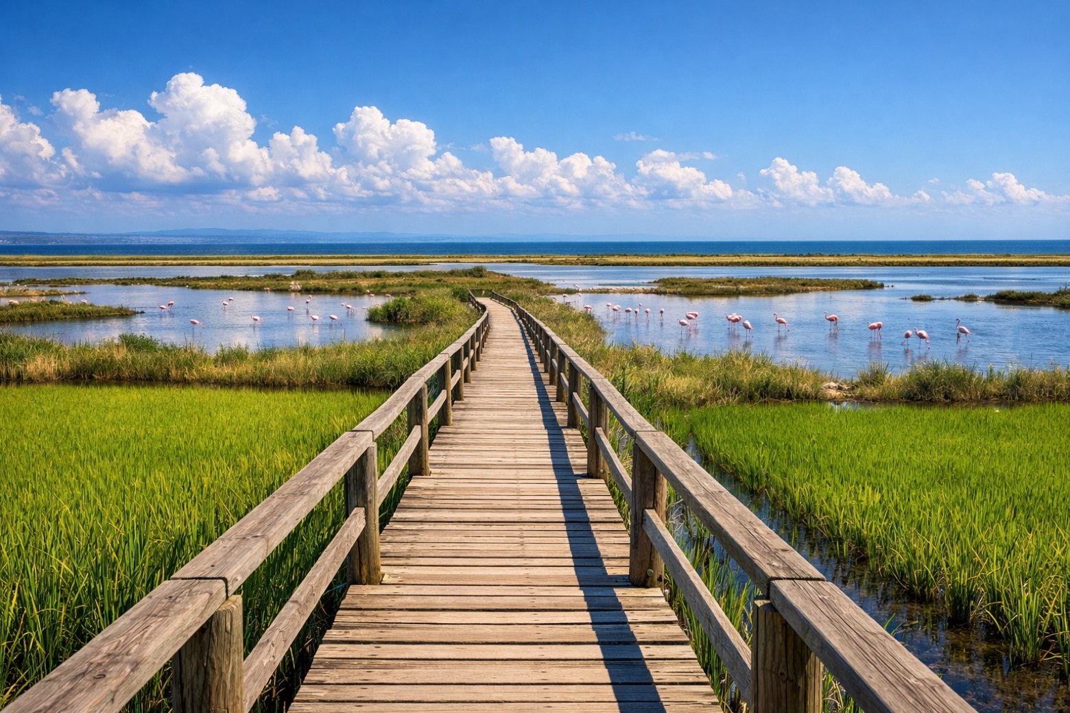 Stage 1
Deltebre → Sant Carles de la Rápita
challenging- Distance
- 33 km
- Ascent
- 42 m
- Descent
- 35 m
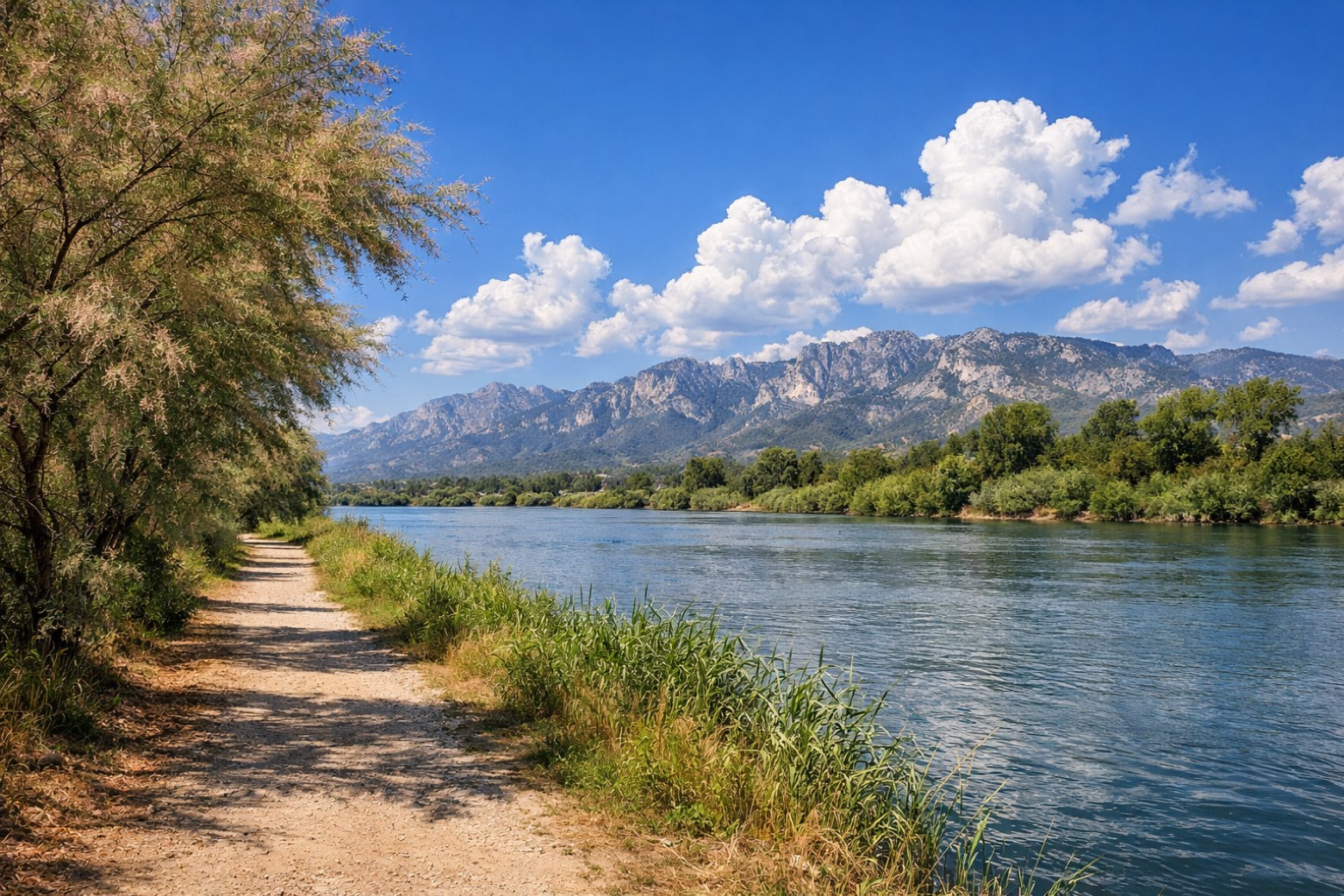 Stage 2
Sant Carles de la Rápita → Tortosa
challenging- Distance
- 30 km
- Ascent
- 20 m
- Descent
- 10 m
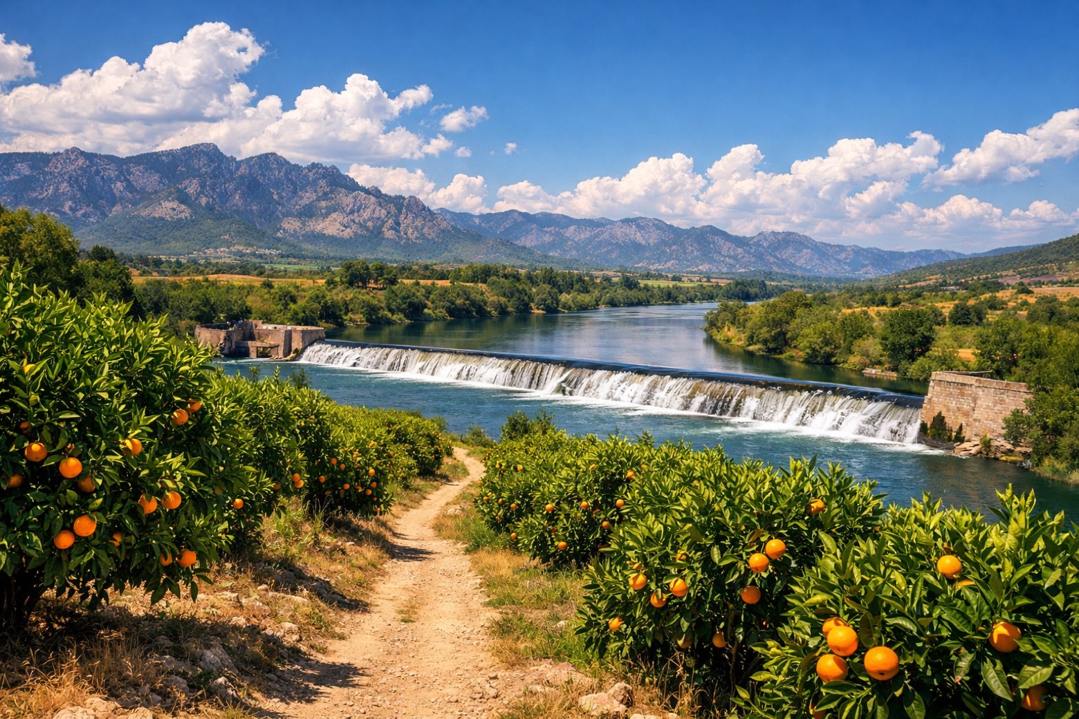 Stage 3
Tortosa → Xerta
easy- Distance
- 14 km
- Ascent
- 21 m
- Descent
- 17 m
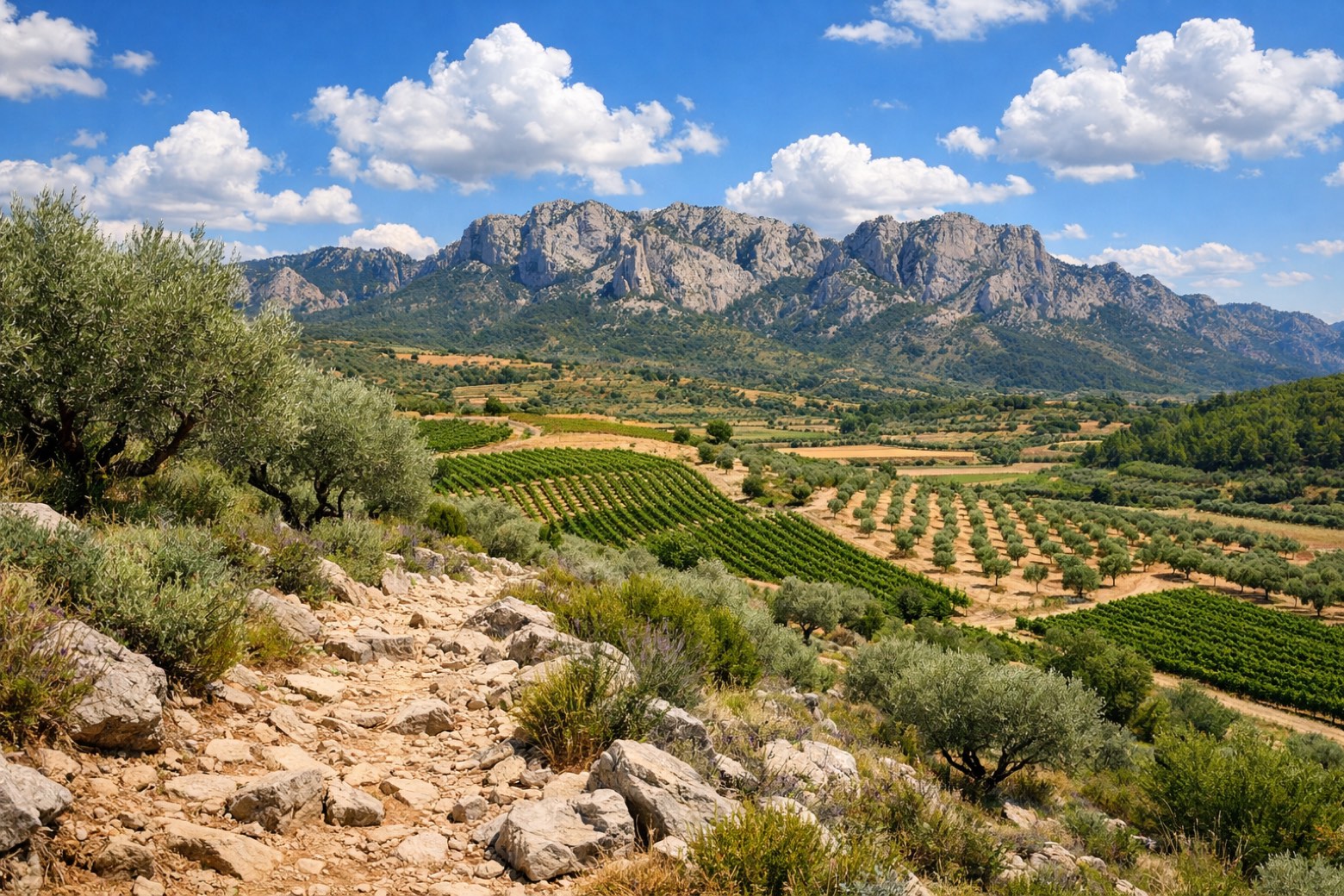 Stage 4
Xerta → Gandesa
challenging- Distance
- 27 km
- Ascent
- 549 m
- Descent
- 190 m
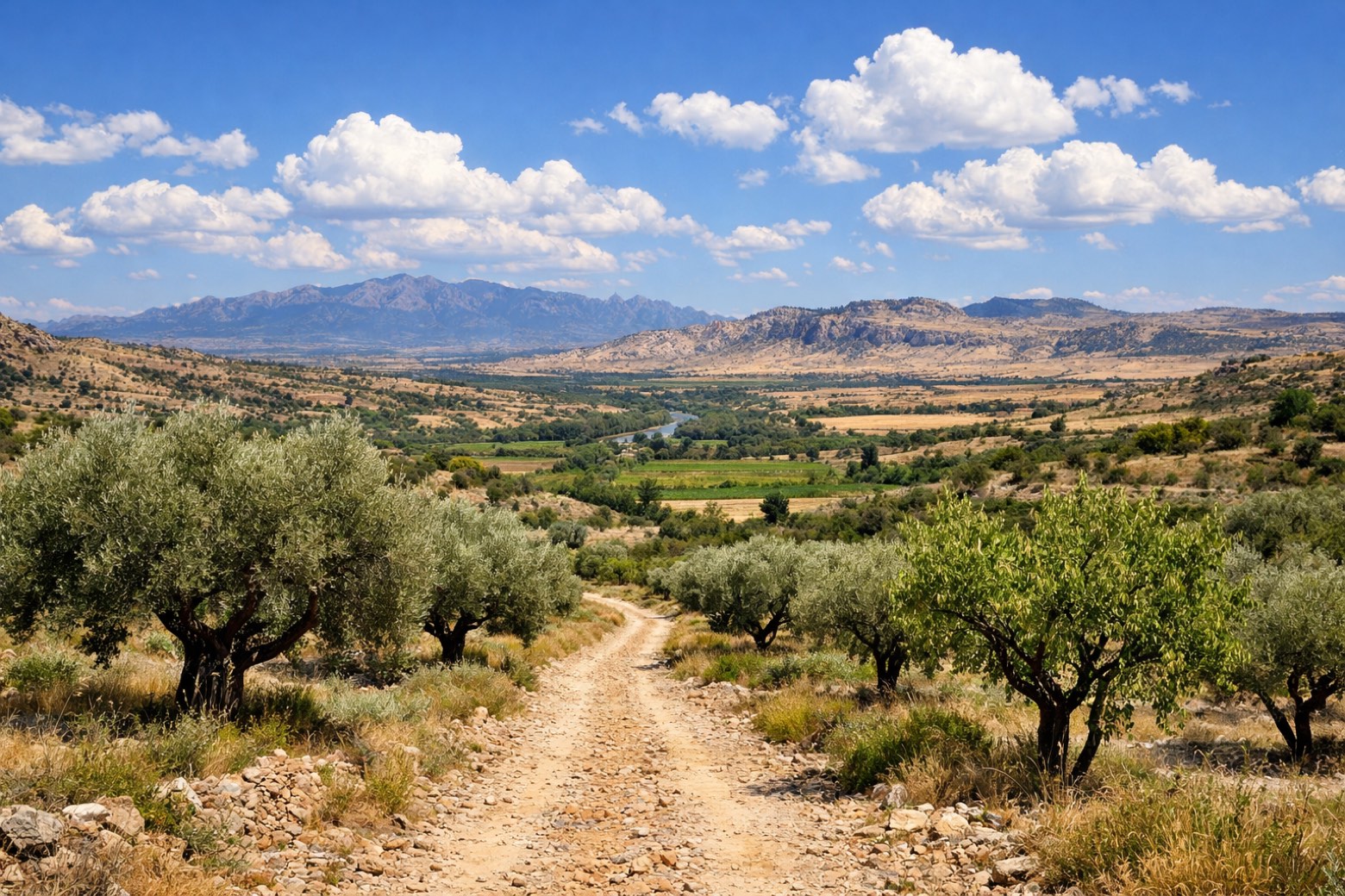 Stage 5
Gandesa → Fabara
challenging- Distance
- 30 km
- Ascent
- 264 m
- Descent
- 386 m
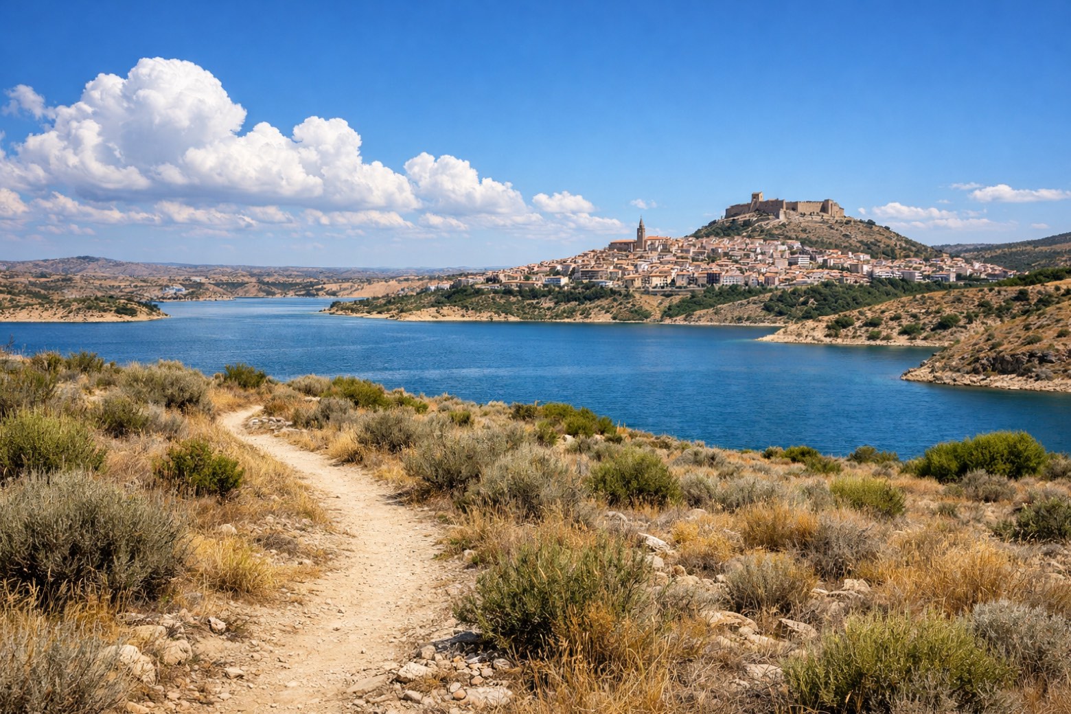 Stage 6
Fabara → Caspe
moderate- Distance
- 21 km
- Ascent
- 225 m
- Descent
- 319 m
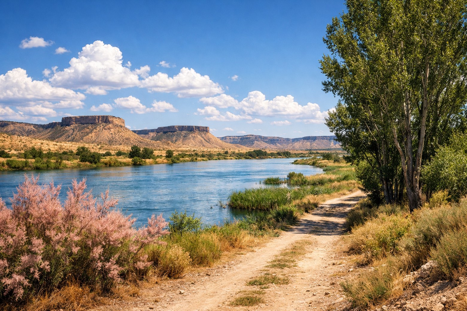 Stage 7
Caspe → Escatrón
challenging- Distance
- 30 km
- Ascent
- 206 m
- Descent
- 201 m
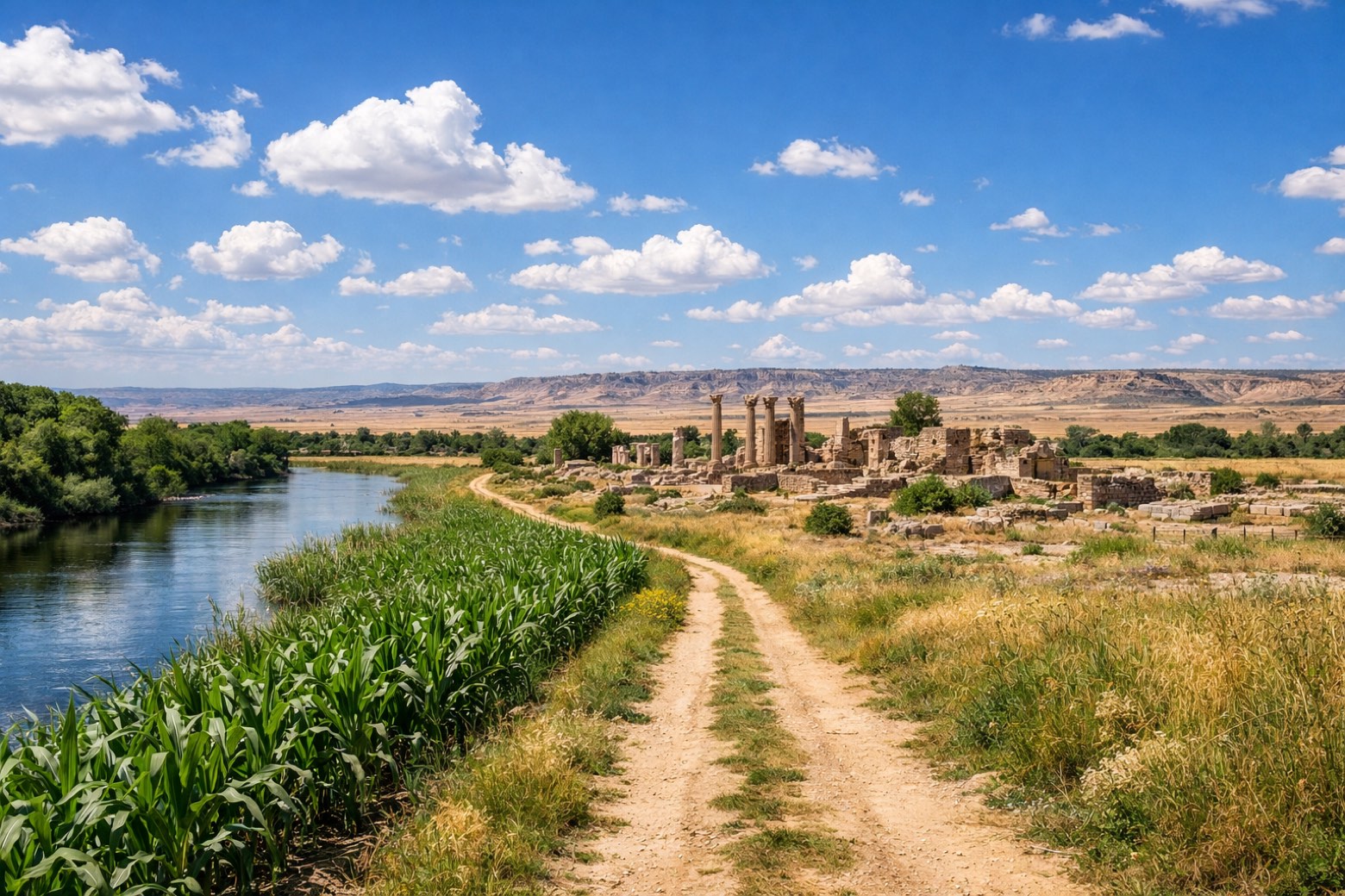 Stage 8
Escatrón → Velilla de Ebro
moderate- Distance
- 25 km
- Ascent
- 212 m
- Descent
- 227 m
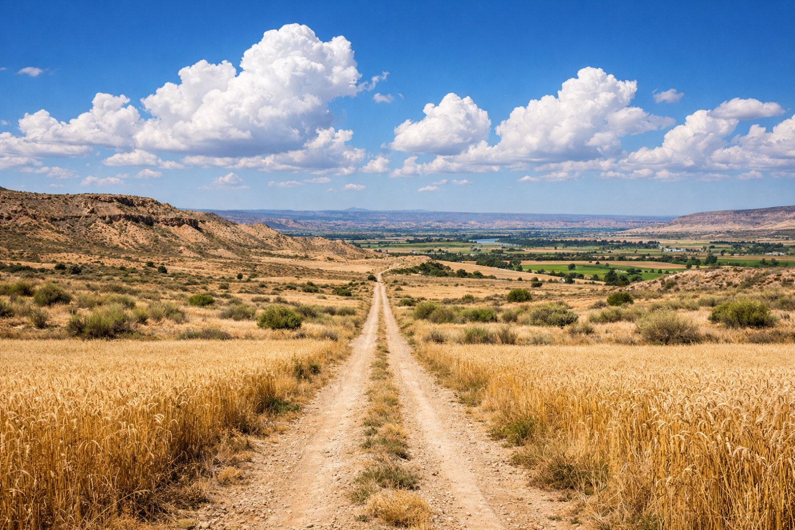 Stage 9
Velilla de Ebro → Fuentes de Ebro
challenging- Distance
- 28 km
- Ascent
- 26 m
- Descent
- 7 m
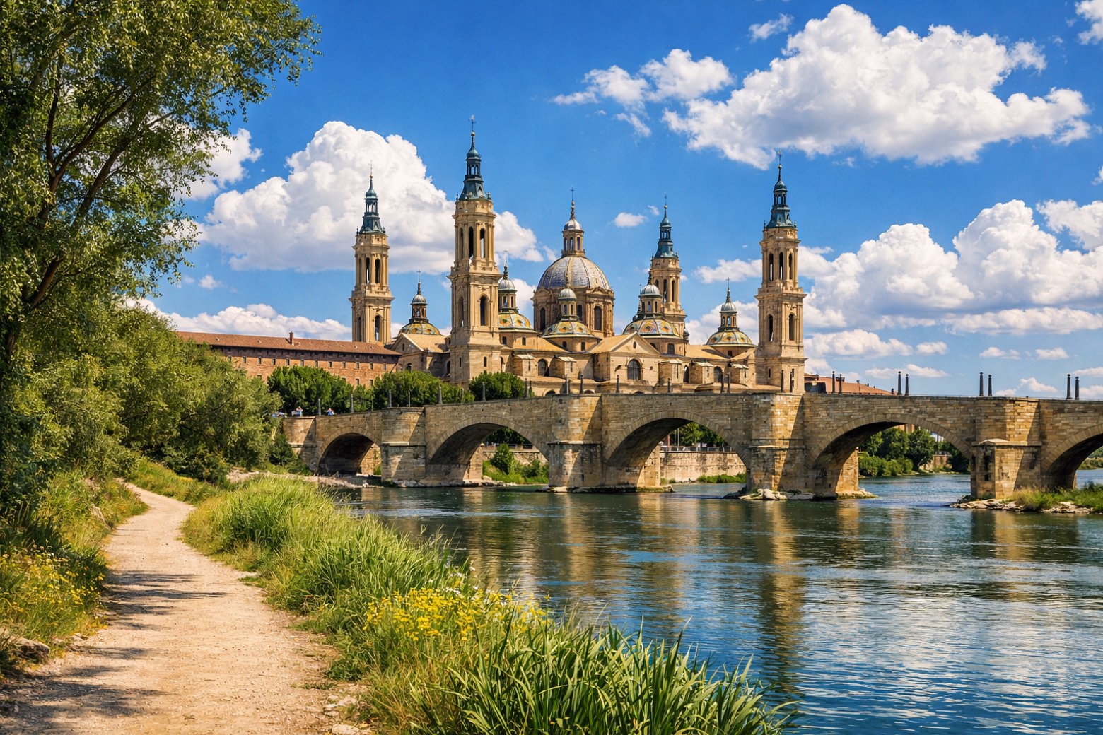 Stage 10
Fuentes de Ebro → Zaragoza
challenging- Distance
- 31 km
- Ascent
- 17 m
- Descent
- 33 m
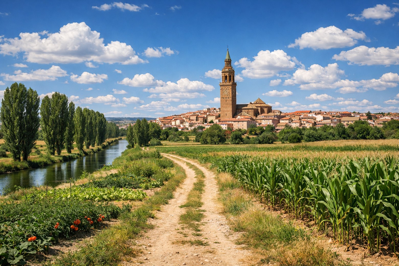 Stage 11
Zaragoza → Alagón
challenging- Distance
- 28 km
- Ascent
- 86 m
- Descent
- 72 m
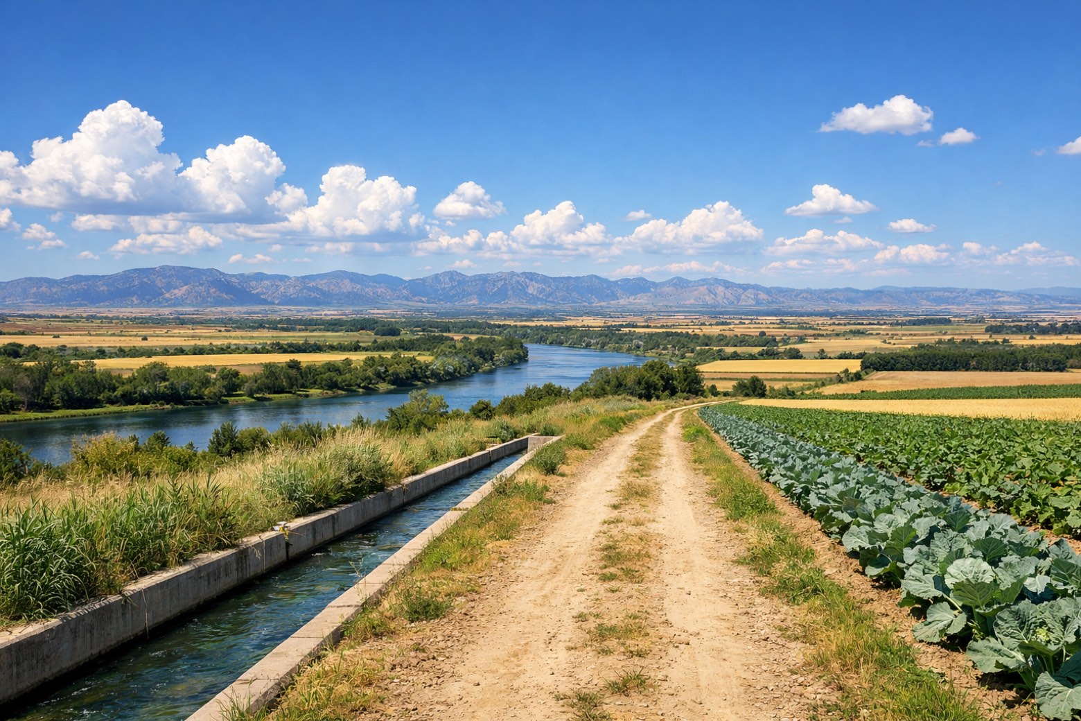 Stage 12
Alagón → Gallur
moderate- Distance
- 21 km
- Ascent
- 78 m
- Descent
- 69 m
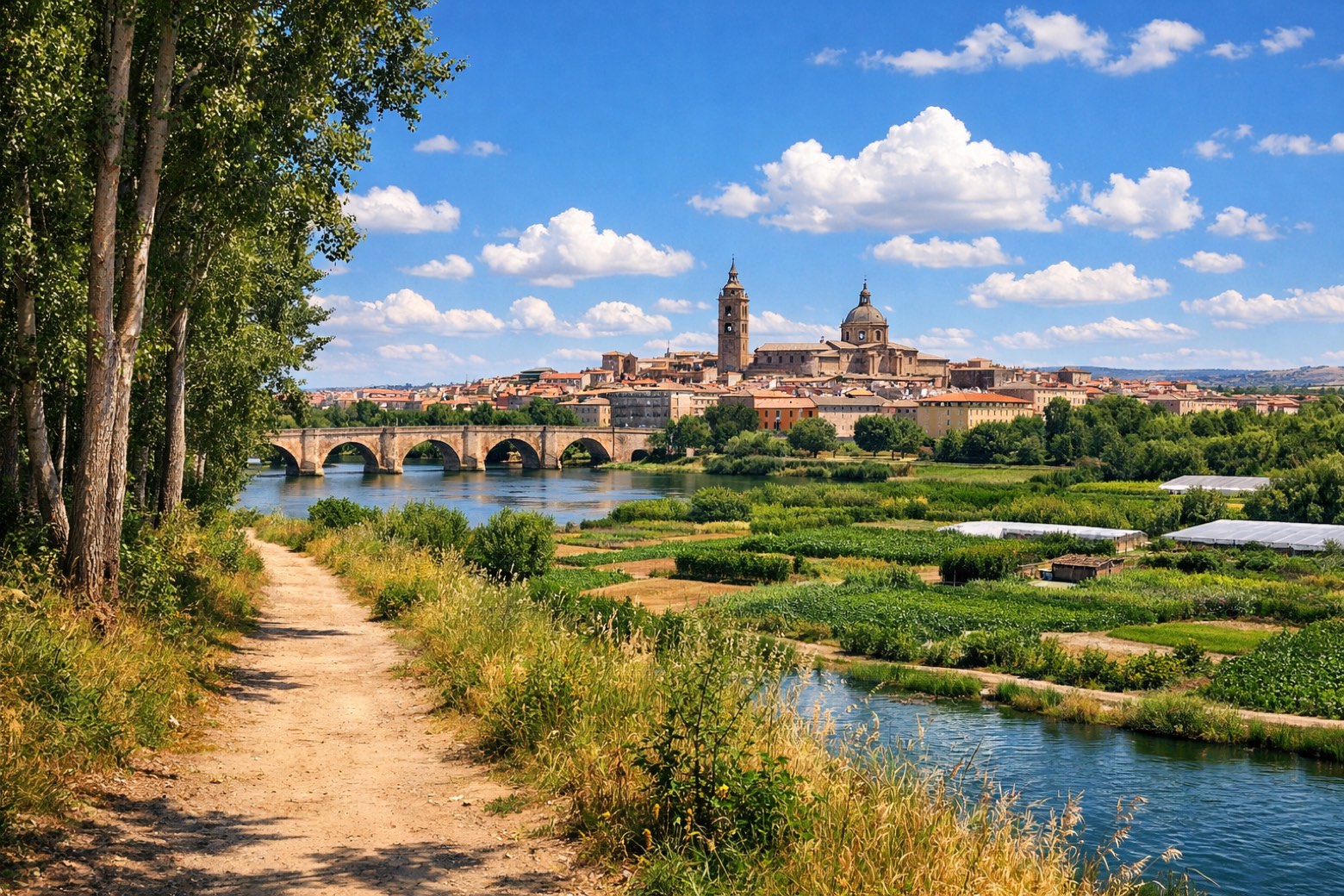 Stage 13
Gallur → Tudela
challenging- Distance
- 36 km
- Ascent
- 139 m
- Descent
- 117 m
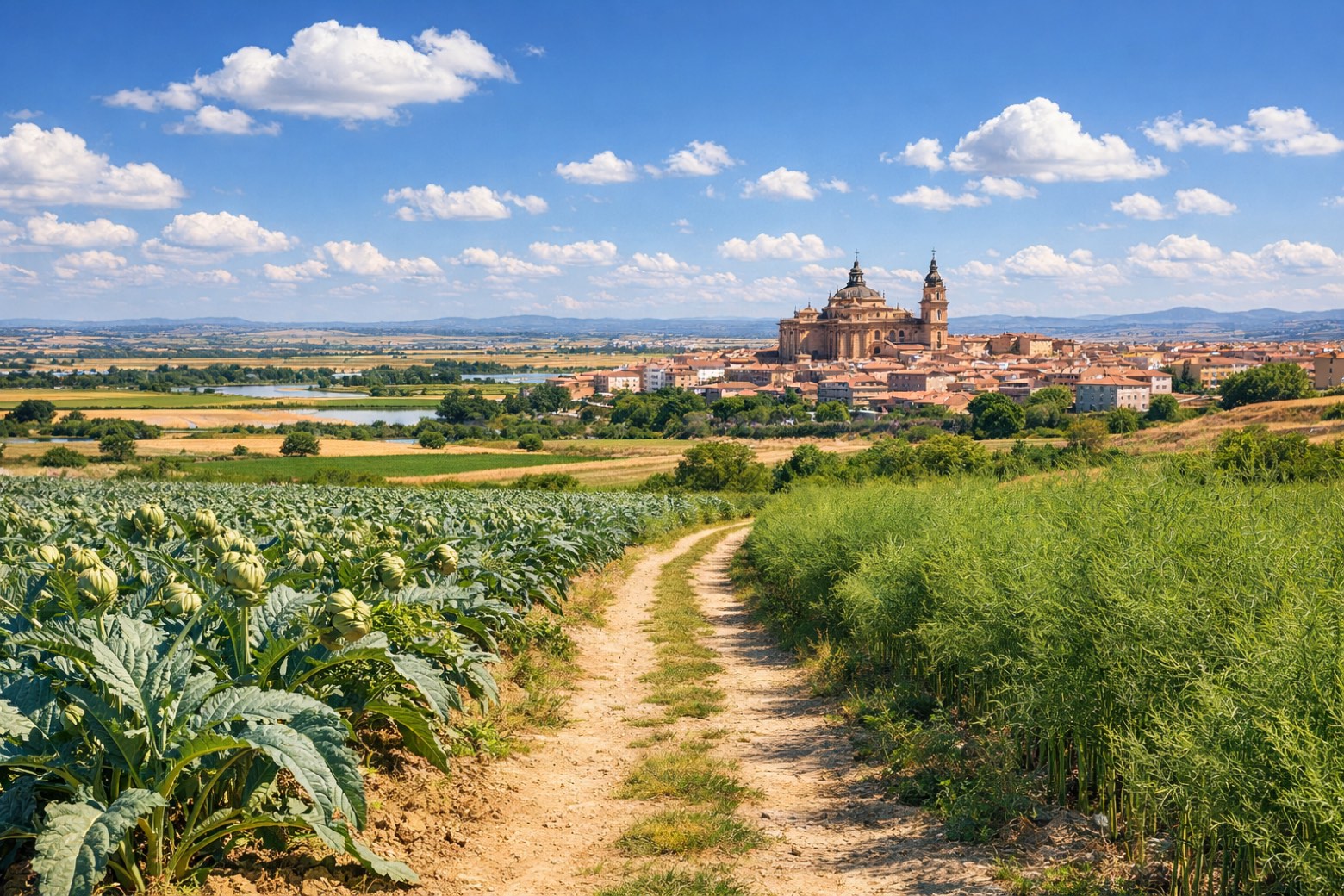 Stage 14
Tudela → Alfaro
moderate- Distance
- 23 km
- Ascent
- 47 m
- Descent
- 18 m
 Stage 15
Alfaro → Calahorra
moderate- Distance
- 24 km
- Ascent
- 107 m
- Descent
- 64 m
Points of interest
- Celsa
Archaeological site, in Velilla de Ebro, Ancient Rome, designated as bien de interés cultural.
- Castillo del Compromiso
Castle of Compromise. Castle in Gothic style, in Caspe, Spain, designated as cultural heritage.
- Archaeological site of Castle and Mount of Santa Bárbara
Castle, in Tudela, Spain, designated as bien de interés cultural.
- Puente de Hierro
Iron Bridge. 19th-century bridge, designed by Fermín Manso de Zúñiga, in Logroño, Spain, 330.0 km long.
- Casa de la Danza
House of Dance. 21st-century museum, in Logroño, Spain.
- Palace of Espartero
Palace, dedicated to Baldomero Espartero, Prince of Vergara, in Logroño, Spain, designated as bien de interés cultural.
- Palace of the Marquis of Monesterio
Palace, in Logroño, Spain, designated as part of UNESCO World Heritage Site.
- Church of Santiago, Logroño
Church in baroque style, dedicated to St. James the Elder, in Logroño, Spain, designated as part of UNESCO World Heritage Site.
Travel
Find connections for your cammino.
Search trainsMore walks in Spain
Plan your walking trip
All articles and guidesHow to choose a walking route: stages, days and ascent
How many days can you actually spend walking? Start there, then choose stages that leave you time to stop along the way.
How to plan a walking trip by train and bus
Two different stations, a last bus and a backpack. Fit the journeys out and home around the days you want to spend walking.
Take your walk with you: download Appy
Camino Jacobeo del Ebro. Explore maps, stages and elevation in the app, and plan your train or bus journey.

