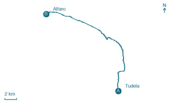
Tudela → Alfaro
Walking distance 23.4 km
Download Appy for the stage map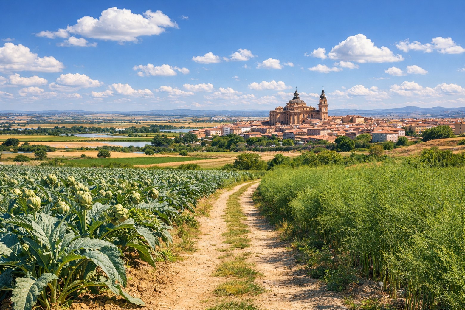
Stage information
- Ascent
- 47 m
- Descent
- 18 m
Difficulty: moderate (estimated)
Walking the stage
Walk 23 km from Tudela to Alfaro through Murillo de las Limas (Despoblado) and Castejón, climbing only 47 m.
Before leaving Tudela, locate Casa del Almirante, Tudela on the map. It is close to the starting point. On arrival in Alfaro, consider a stop at Collegiate of San Miguel Arcángel, Alfaro, close to the finish.
Look for these places on the stage map: Murillo de las Limas (Despoblado) and Castejón.
What to see on this stage
History and landmarks
Collegiate of San Miguel Arcángel, Alfaro
< 100 m from the trail as the crow flies
Monument in baroque style, in Alfaro, Spain, designated as bien de interés cultural.
Casa del Almirante, Tudela
Palace · 100 m from the trail as the crow flies
16th-century palace, in Tudela, Spain.
Nature and landscape
Valdetellas
Summit · 1.6 km from the trail as the crow flies
Map · Tudela → Alfaro
Take your walk with you: download Appy
Camino Jacobeo del Ebro: Tudela → Alfaro. Explore maps, stages and elevation in the app, and plan your train or bus journey.

