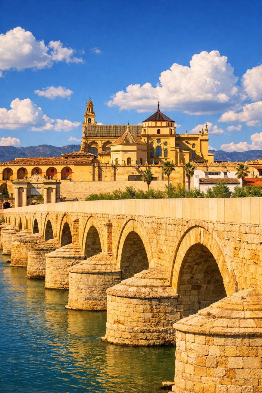
Camino Mozarabe (Cordoba)
Andalucía, Spain
Spain · Granada → Zafra
Distance
410 km
Stages
16
Difficulty
moderate
Best months
Apr-Jun, Sep-Oct
Camino Mozarabe (Cordoba) · Stages and distances
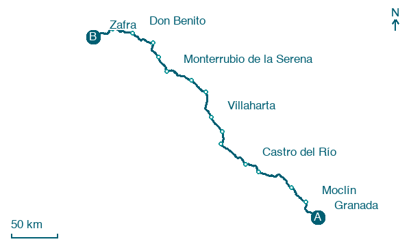
Walking distances for Appy’s stages (16)
| Stage | km |
|---|---|
| 1. Granada → Moclín | 27.3 |
| 2. Moclín → Alcalá la Real | 26.9 |
| 3. Alcalá la Real → Baena | 48.9 |
| 4. Baena → Castro del Río | 19.8 |
| 5. Castro del Río → Córdoba | 39.2 |
| 6. Córdoba → Cerro Muriano | 17.8 |
| 7. Cerro Muriano → Villaharta | 20.7 |
| 8. Villaharta → Alcaracejos | 33.6 |
| 9. Alcaracejos → Hinojosa del Duque | 21.6 |
| 10. Hinojosa del Duque → Monterrubio de la Serena | 33.9 |
| 11. Monterrubio de la Serena → Castuera | 19.5 |
| 12. Castuera → Campanario | 19.8 |
| 13. Campanario → Don Benito | 29.3 |
| 14. Don Benito → Guareña | 25.6 |
| 15. Guareña → Mérida | 25.4 |
| 16. Mérida → Zafra | 0.8 |
| Total | 410.1 |
About
About 410 km from Córdoba to Mérida, a journey through olive groves, ancient towns, and sun-soaked hills. The Camino Mozarabe challenges seasoned trekkers with 4,000 meters of elevation gain across 16 stages.
It begins at the iconic Mezquita, where the scent of orange blossoms drifts through the air, and ends at the Roman Theatre, a testament to centuries past. This spiritual route reveals the heart of Andalusia, where every stone whispers stories of history, faith, and the relentless pursuit of clarity.
Stages
16 stages
- Stage 1
Granada → Moclín
challenging- Distance
- 27 km
- Ascent
- 218 m
- Descent
- 136 m
- Stage 2
Moclín → Alcalá la Real
challenging- Distance
- 27 km
- Ascent
- 754 m
- Descent
- 595 m
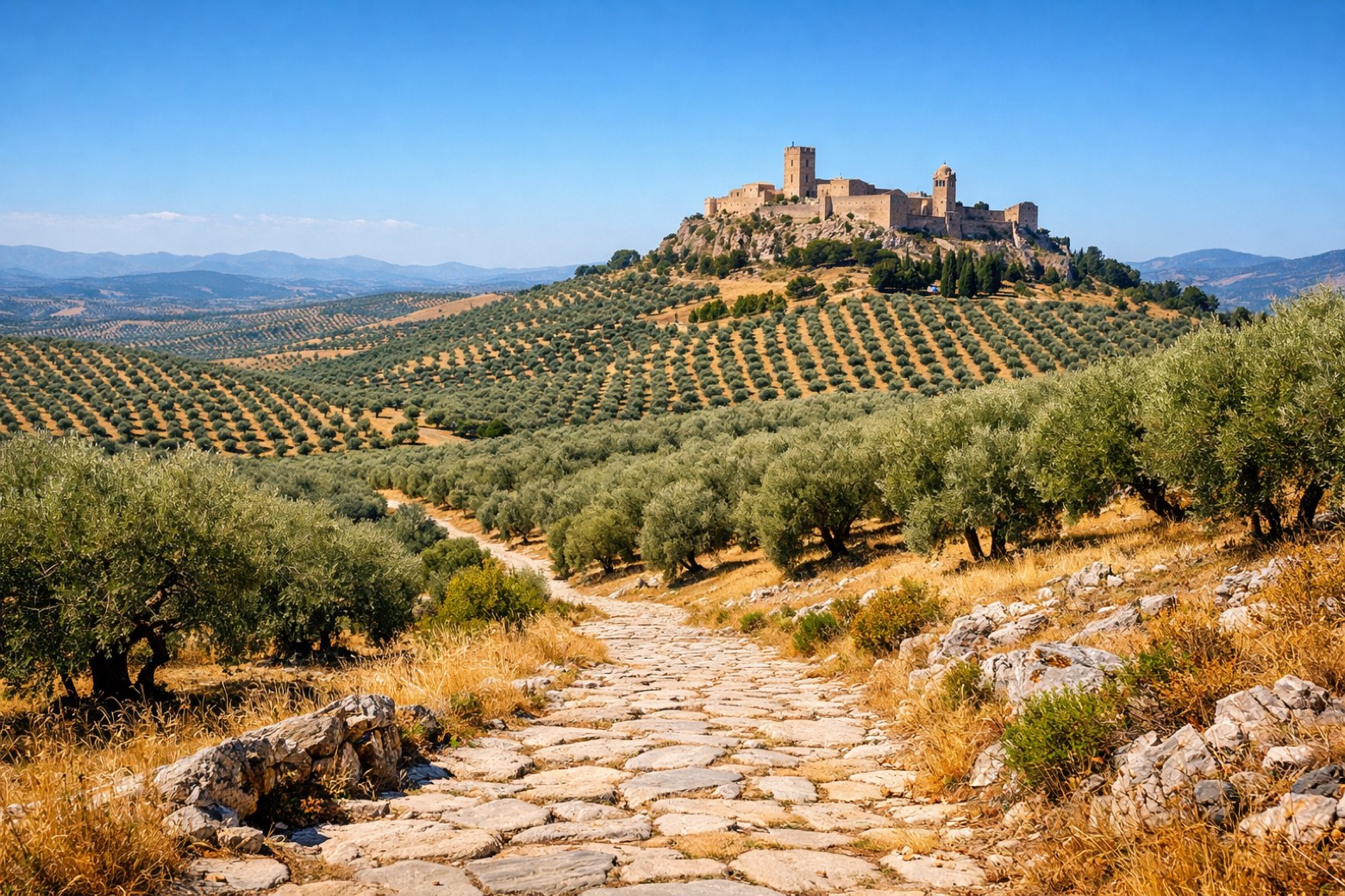 Stage 3
Alcalá la Real → Baena
challenging- Distance
- 49 km
- Ascent
- 499 m
- Descent
- 1018 m
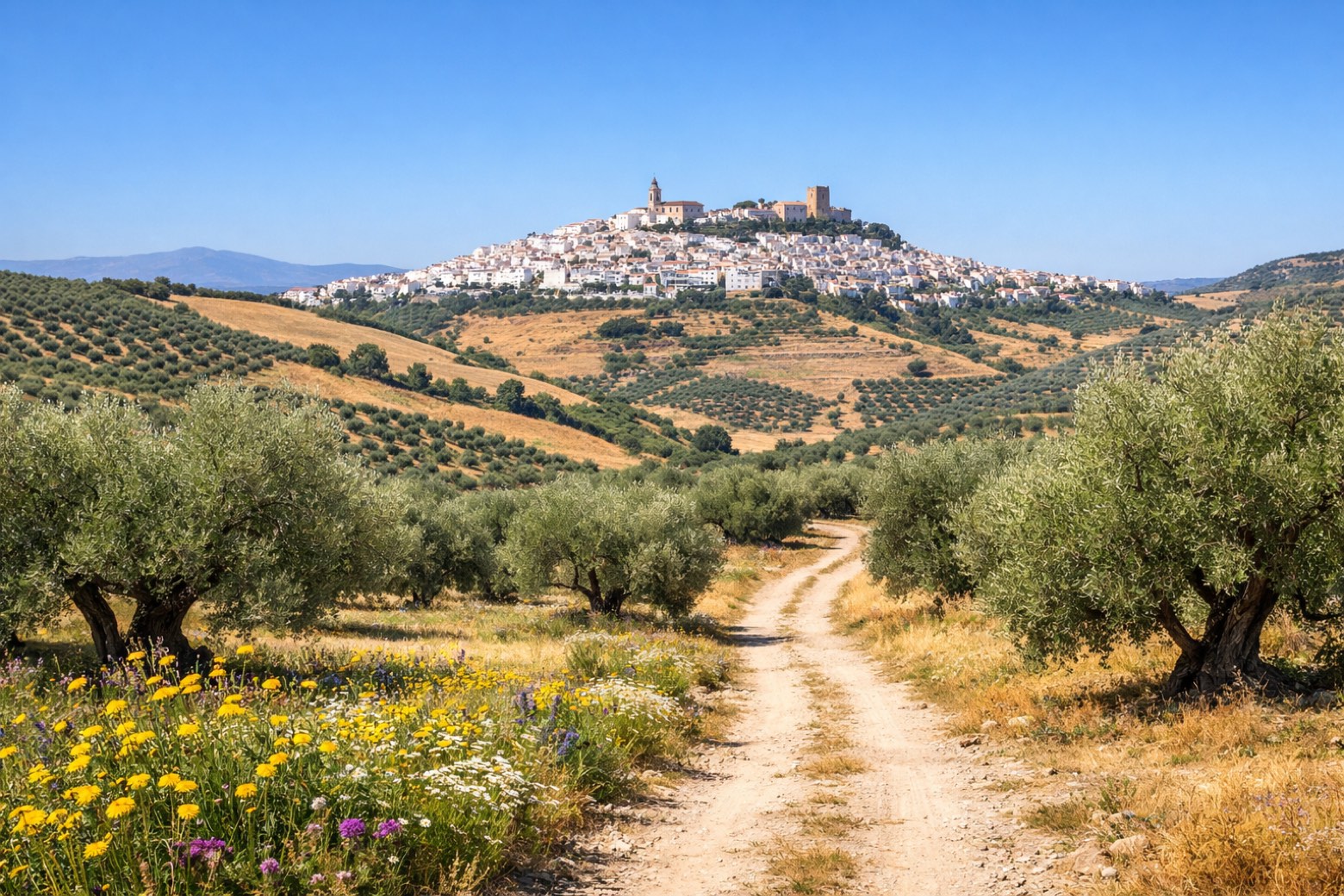 Stage 4
Baena → Castro del Río
moderate- Distance
- 20 km
- Ascent
- 178 m
- Descent
- 339 m
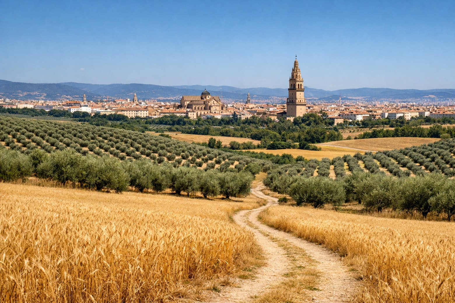 Stage 5
Castro del Río → Córdoba
challenging- Distance
- 39 km
- Ascent
- 755 m
- Descent
- 862 m
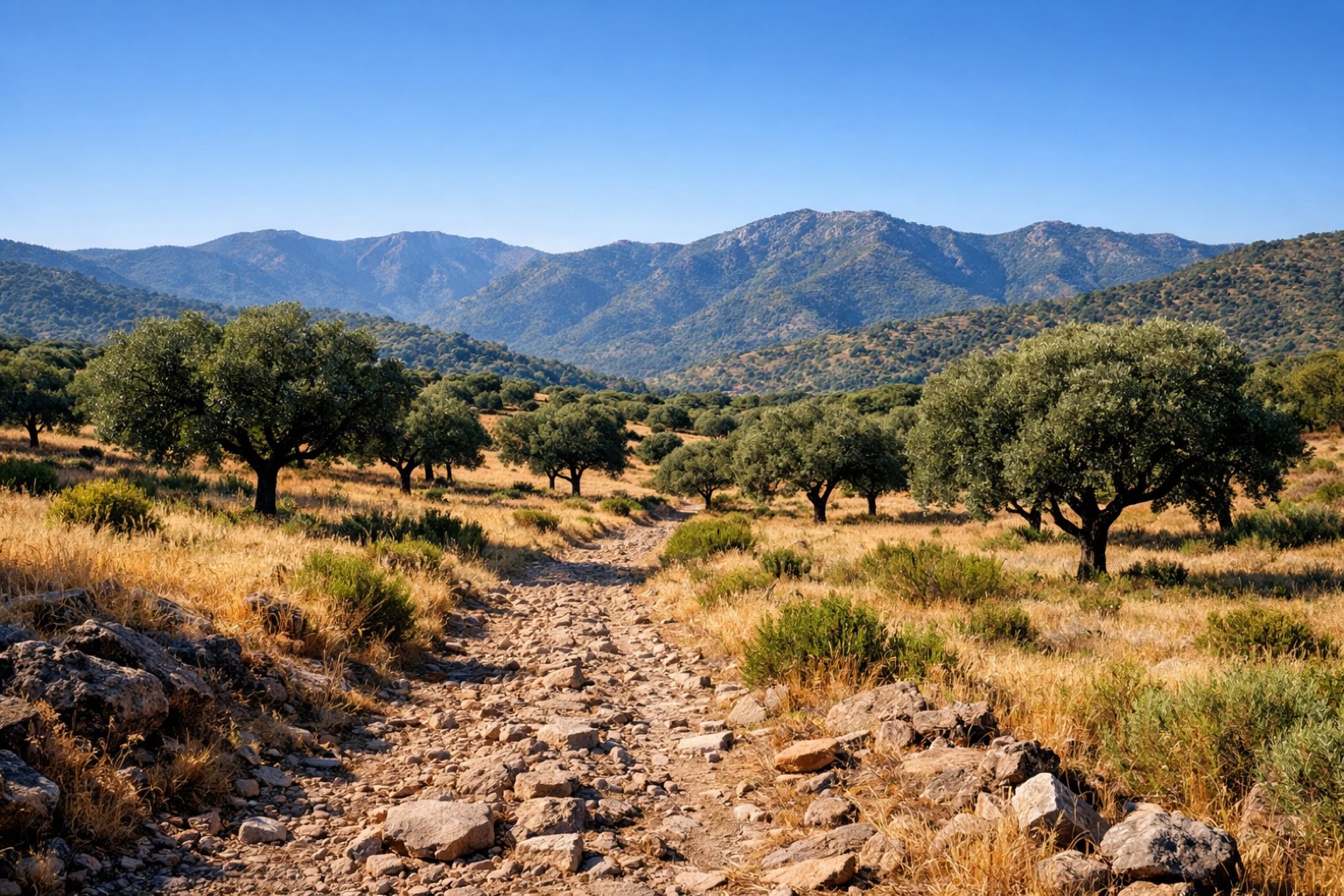 Stage 6
Córdoba → Cerro Muriano
moderate- Distance
- 18 km
- Ascent
- 629 m
- Descent
- 240 m
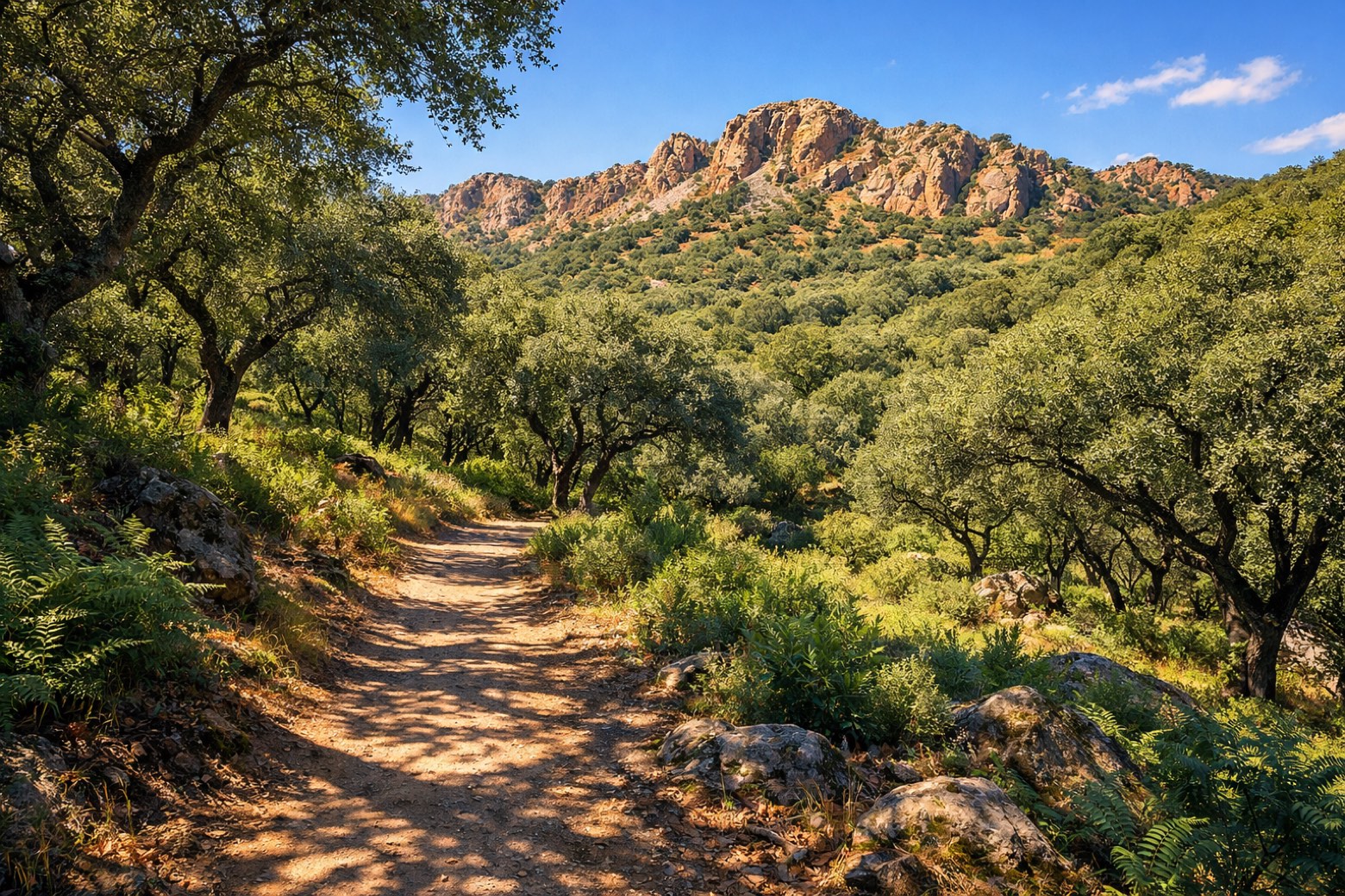 Stage 7
Cerro Muriano → Villaharta
moderate- Distance
- 21 km
- Ascent
- 216 m
- Descent
- 175 m
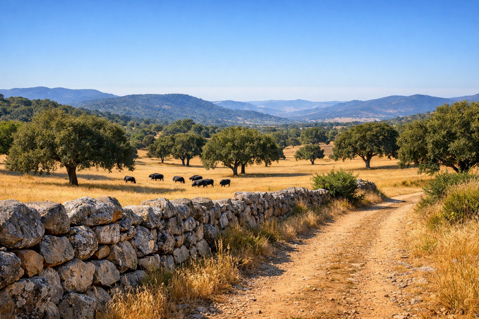 Stage 8
Villaharta → Alcaracejos
challenging- Distance
- 34 km
- Ascent
- 465 m
- Descent
- 456 m
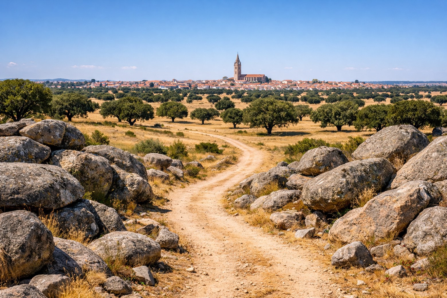 Stage 9
Alcaracejos → Hinojosa del Duque
moderate- Distance
- 22 km
- Ascent
- 61 m
- Descent
- 106 m
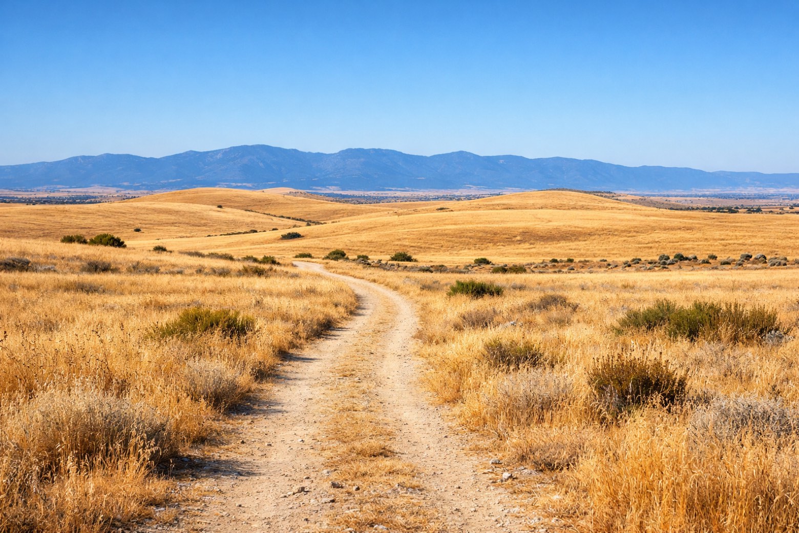 Stage 10
- Distance
- 34 km
- Ascent
- 201 m
- Descent
- 192 m
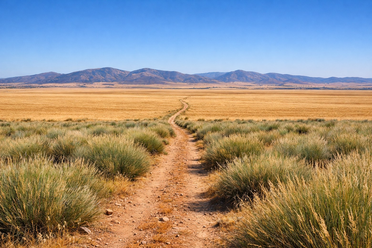 Stage 11
- Distance
- 20 km
- Ascent
- 88 m
- Descent
- 145 m
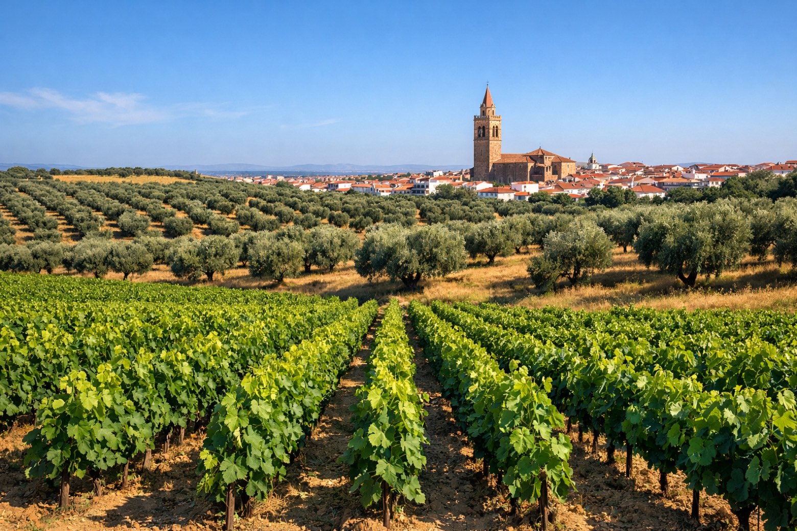 Stage 12
Castuera → Campanario
moderate- Distance
- 20 km
- Ascent
- 92 m
- Descent
- 187 m
- Stage 13
Campanario → Don Benito
challenging- Distance
- 29 km
- Ascent
- 166 m
- Descent
- 266 m
- Stage 14
Don Benito → Guareña
challenging- Distance
- 26 km
- Ascent
- 24 m
- Descent
- 64 m
- Stage 15
Guareña → Mérida
challenging- Distance
- 25 km
- Ascent
- 122 m
- Descent
- 151 m
 Stage 16
Mérida → Zafra
easy- Distance
- 1 km
- Ascent
- 9 m
- Descent
- 3 m
Points of interest
- Puerta de Almodóvar
10th-century archaeological site, in Córdoba, Spain.
- House of the Mitreo
Archaeological site, in Mérida, Spain, designated as bien de interés cultural.
- Castle of Medellín
Castle, in Medellín, Spain, designated as bien de interés cultural.
- Museo de la Matanza
Museum of the Matanza. Museum, in Alcaracejos, Spain.
- Iglesia de Nuestra Señora de la Asunción (Campanario)
Church of Our Lady of the Assumption (Campanario). Church, dedicated to Assumption of Mary, in Campanario, Spain.
- Roman Temple on Claudio Marcelo Street
Archaeological site, in Córdoba, Spain, designated as cultural heritage.
- Cerro Muriano
Historic village, in Obejo, Spain, at 520 m elevation.
- Castillo de Magacela
Castle of Magacela. Castle, in Magacela, Spain, designated as bien de interés cultural.
Travel
Find connections for your cammino.
Search trainsMore walks in Spain
Plan your walking trip
All articles and guidesHow to choose a walking route: stages, days and ascent
How many days can you actually spend walking? Start there, then choose stages that leave you time to stop along the way.
How to plan a walking trip by train and bus
Two different stations, a last bus and a backpack. Fit the journeys out and home around the days you want to spend walking.
Take your walk with you: download Appy
Camino Mozarabe (Cordoba). Explore maps, stages and elevation in the app, and plan your train or bus journey.

