Milna → Nerežišća
Walking distance 22.5 km
Download Appy for the stage map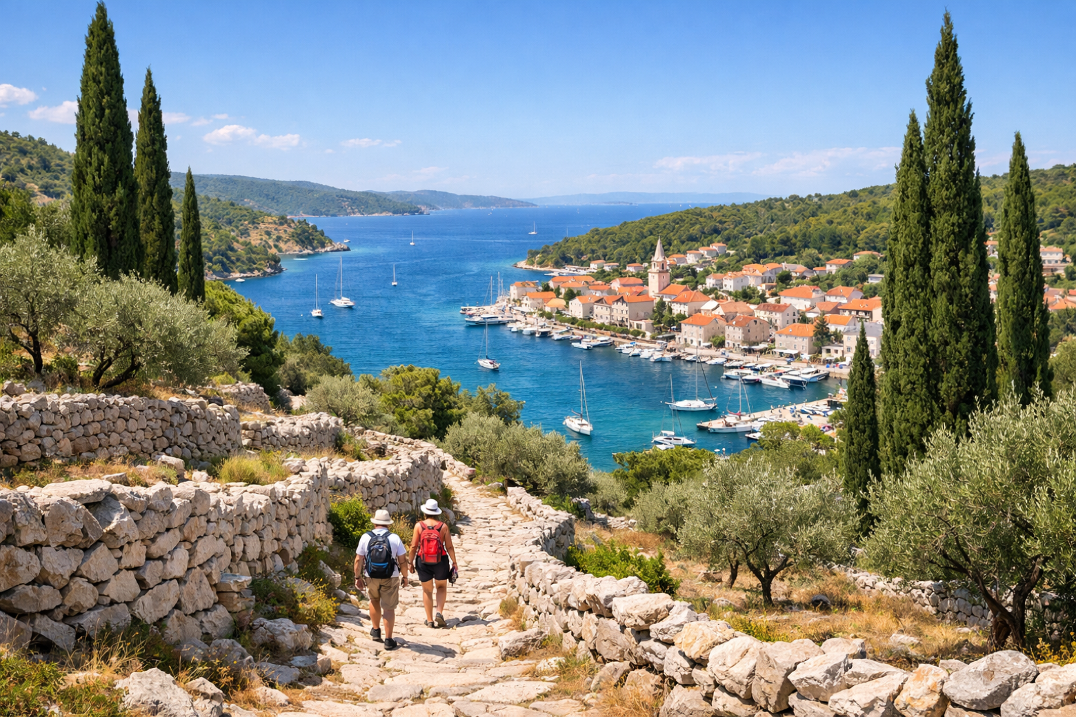
Stage information
- Ascent
- 468 m
- Descent
- 453 m
Difficulty: moderate
Walking the stage
Climb inland from Milna through fragrant macchia scrubland and ancient dry-stone walls to Nerežišća, the historic administrative centre of Brač in the island's fertile interior.
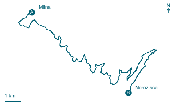
Before leaving Milna, locate Milna on the map. It is close to the starting point. On arrival in Nerežišća, consider a stop at Blacina glava, close to the finish.
Look for these places on the stage map: Obršje.
What to see on this stage
History and landmarks
Milna
700 m from the trail as the crow flies
Potkop Maslinova
< 100 m from the trail as the crow flies
Nature and landscape
Veli kuk
< 100 m from the trail as the crow flies
Blacina glava
< 100 m from the trail as the crow flies
Map · Milna → Nerežišća
Take your walk with you: download Appy
Camino Brač: Milna → Nerežišća. Explore maps, stages and elevation in the app, and plan your train or bus journey.

