Nerežišća → Bol
Walking distance 22.5 km
Download Appy for the stage map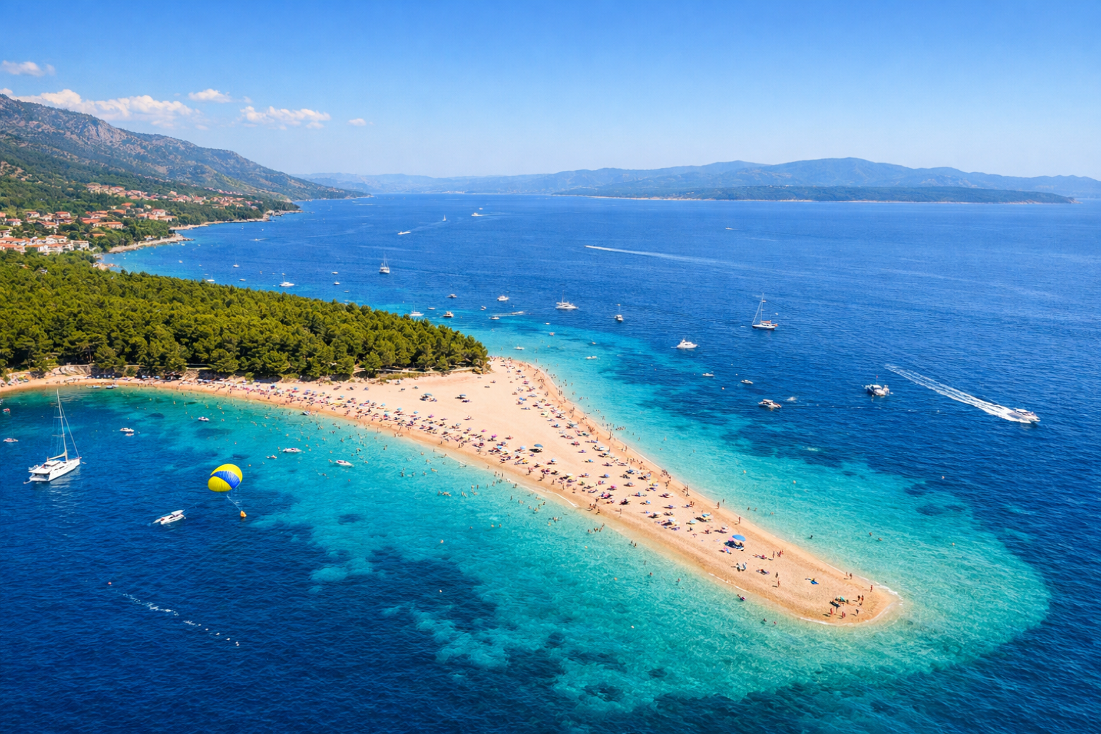
Stage information
- Ascent
- 702 m
- Descent
- 314 m
Difficulty: moderate
Walking the stage
Cross the karst plateau of central Brač and descend to the legendary resort of Bol on the south coast, home to Zlatni Rat, the golden shingle beach that stretches into the turquoise Adriatic.
Before leaving Nerežišća, locate Blacina glava on the map. It is close to the starting point.
Look for these places on the stage map: Farska and Murvica.
What to see on this stage
History and landmarks
Farska
< 100 m from the trail as the crow flies
Potkop Krušica
800 m from the trail as the crow flies
Nature and landscape
Blacina glava
700 m from the trail as the crow flies
Vran
1.5 km from the trail as the crow flies
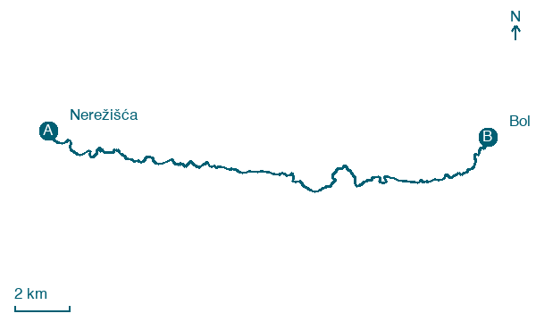
Map · Nerežišća → Bol
Take your walk with you: download Appy
Camino Brač: Nerežišća → Bol. Explore maps, stages and elevation in the app, and plan your train or bus journey.

