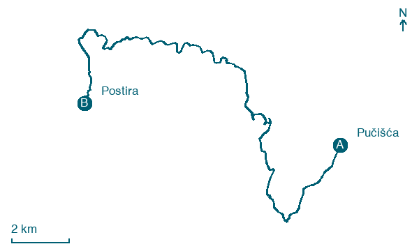
Pučišća → Postira
Walking distance 22.5 km
Download Appy for the stage map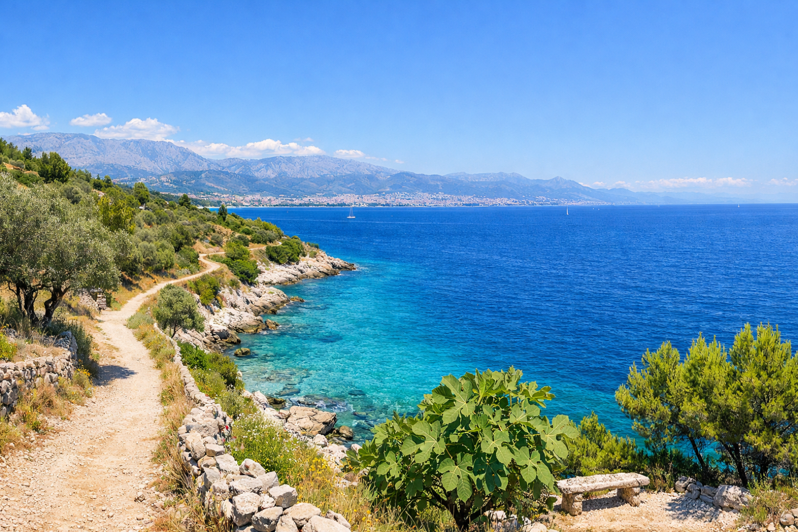
Stage information
- Ascent
- 576 m
- Descent
- 486 m
Difficulty: moderate
Walking the stage
Continue west along the verdant north coast of Brač, passing through olive and almond groves to the fishing village of Postira, with its baroque church and small working harbour.
On arrival in Postira, consider a stop at Škrip, close to the finish.
Look for these places on the stage map: Pražnica, Oklade, and Splitska.
What to see on this stage
History and landmarks
Škrip
600 m from the trail as the crow flies
Pučišća
1.2 km from the trail as the crow flies
Nature and landscape
Dubrovno brdo
< 100 m from the trail as the crow flies
Kruna
200 m from the trail as the crow flies
Map · Pučišća → Postira
Take your walk with you: download Appy
Camino Brač: Pučišća → Postira. Explore maps, stages and elevation in the app, and plan your train or bus journey.

