Tramonti → Agerola
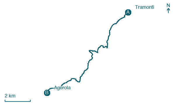
Walking distance 12.2 km
Download Appy for the stage map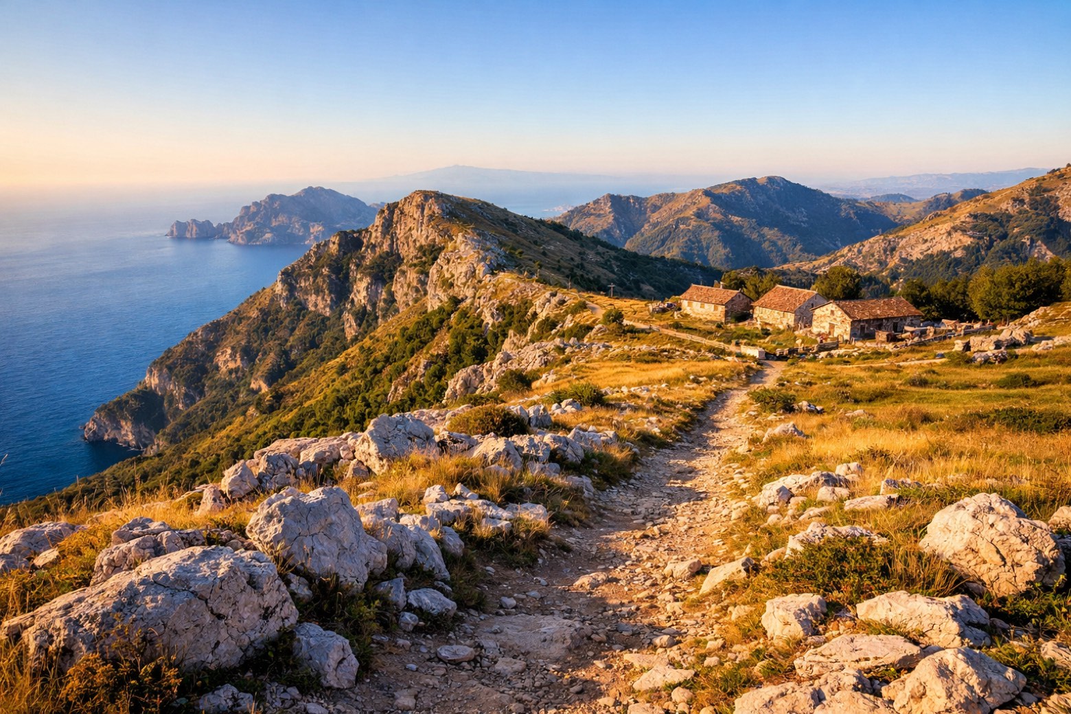
Stage information
- Ascent
- 632 m
- Descent
- 453 m
Difficulty: easy (estimated)
Walking the stage
Tackle a demanding 12 km stage from Tramonti to Agerola, with 632 m of climbing on the way.
What to see on this stage
History and landmarks
Via Traforo
Bridge · 500 m from the trail as the crow flies
Cesarano
1,000 m from the trail as the crow flies
Nature and landscape
Tiglio selvatico di Piazzetta San Martino, Agerola
Monumental tree · 1.3 km from the trail as the crow flies
Italy’s monumental tree register identifies this specimen as Tilia cordata Mill. It records a height of 15 m and a trunk circumference of 200 cm.
Platano orientale di Piazza Unita' D'Italia, Agerola
Monumental tree · 1.5 km from the trail as the crow flies
Italy’s monumental tree register identifies this specimen as Platanus orientalis L. It records a height of 10 m and a trunk circumference of 300 cm.
Map · Tramonti → Agerola
Take your walk with you: download Appy
Alta Via dei Monti Lattari: Tramonti → Agerola. Explore maps, stages and elevation in the app, and plan your train or bus journey.

