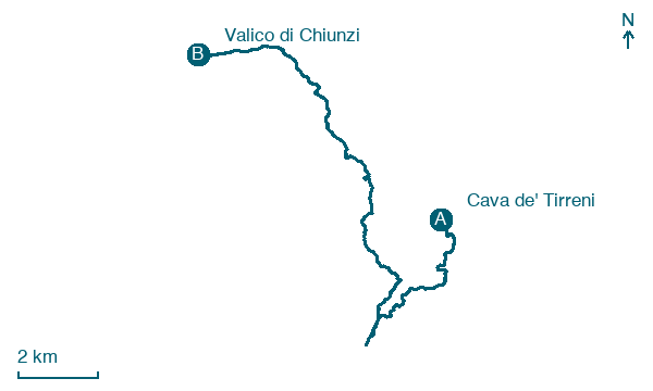
Cava de' Tirreni → Valico di Chiunzi
Walking distance 19.8 km
Download Appy for the stage map
Stage information
- Ascent
- 917 m
- Descent
- 640 m
Difficulty: moderate (estimated)
Walking the stage
Tackle a demanding 20 km stage from Cava de' Tirreni to Valico di Chiunzi, with 917 m of climbing on the way.
Before leaving Cava de' Tirreni, locate Territorial Abbey of La Trinità della Cava on the map. It is close to the starting point.
Look for these places on the stage map: Albori, Pucara, Campinola, and Cesarano.
What to see on this stage
History and landmarks
Castello di santa Maria la Nova
Castle · 1.8 km from the trail as the crow flies
Territorial Abbey of La Trinità della Cava
< 100 m from the trail as the crow flies
Nature and landscape
Monte Finestra
Summit · < 100 m from the trail as the crow flies
parco Croce
National park · 1.6 km from the trail as the crow flies
Map · Cava de' Tirreni → Valico di Chiunzi
Take your walk with you: download Appy
Alta Via dei Monti Lattari: Cava de' Tirreni → Valico di Chiunzi. Explore maps, stages and elevation in the app, and plan your train or bus journey.

