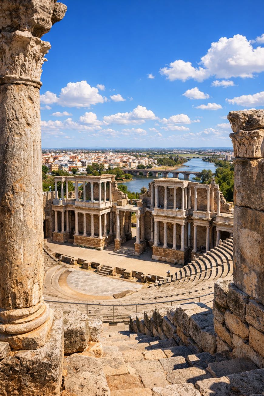
Via de la Plata
Extremadura, Spain
Spain · Sevilla → Astorga
Distance
702 km
Stages
27
Difficulty
moderate
Best months
Apr-Jun, Sep-Oct
About
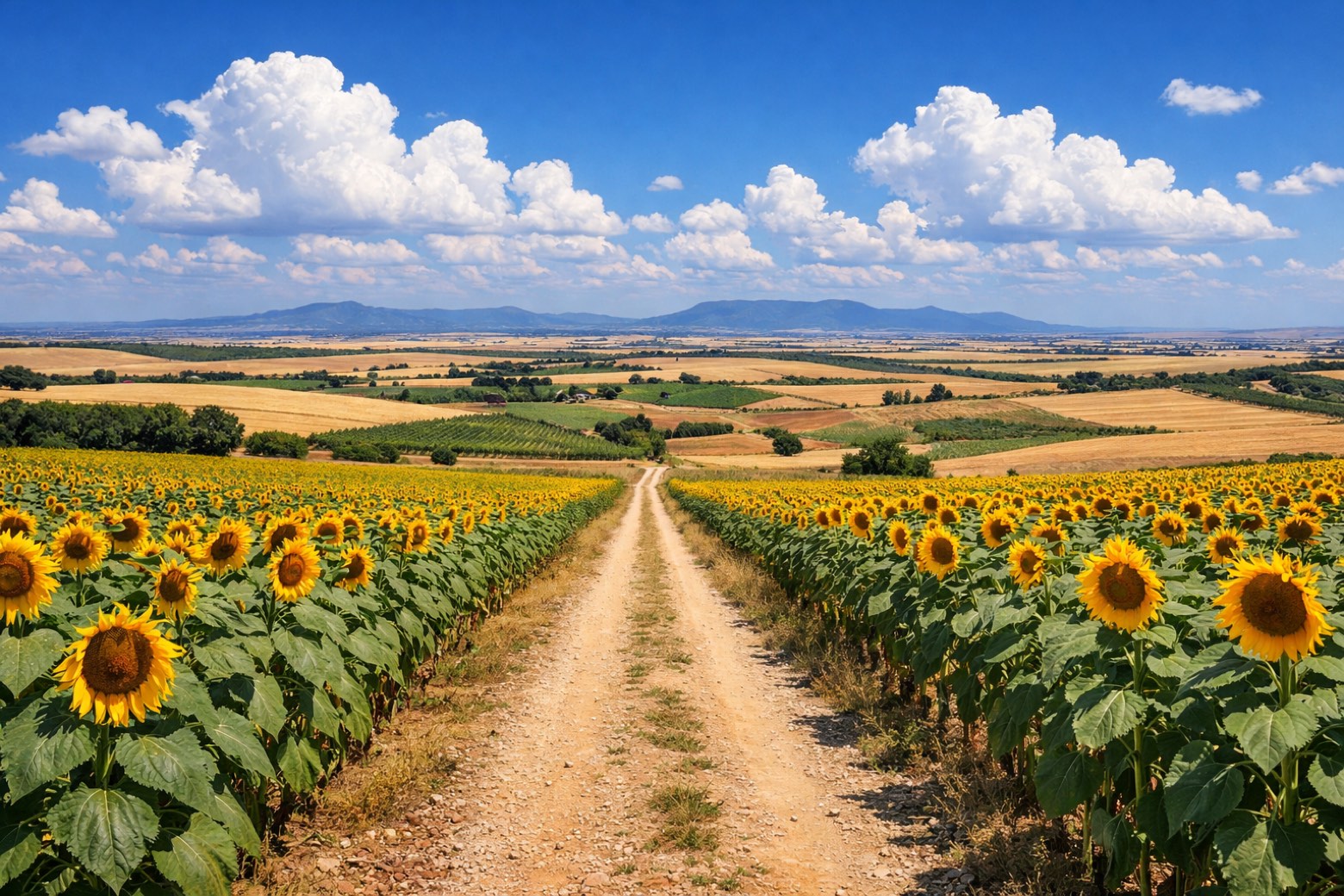
Sevilla’s sun-baked plazas to A Estrada’s emerald hills, about 700 km of ancient Roman roads, rolling landscapes, and cultural echoes. The Via de la Plata, with its 27 stages, demands respect: 25,296 m of elevation gain tests even seasoned hikers.
Along the way, the scent of wild thyme fills the air as you pass Aldehuela del Jerte and Camarzana de Tera. This isn’t just a walk; it’s a journey through Spain’s soul, where history and nature intertwine, best tackled from April to June or September to October, when the land breathes easier.
Stages
27 stages
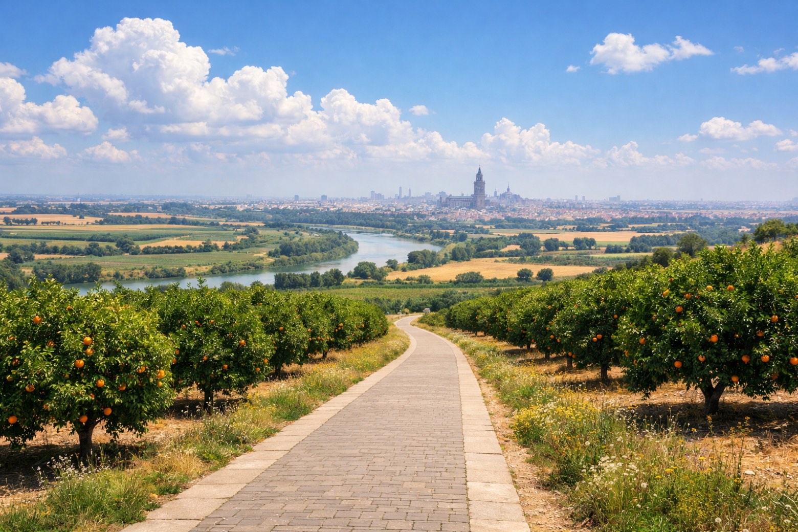 Stage 1
Sevilla → Guillena
moderateDistance22 kmAscent263 mDescent264 m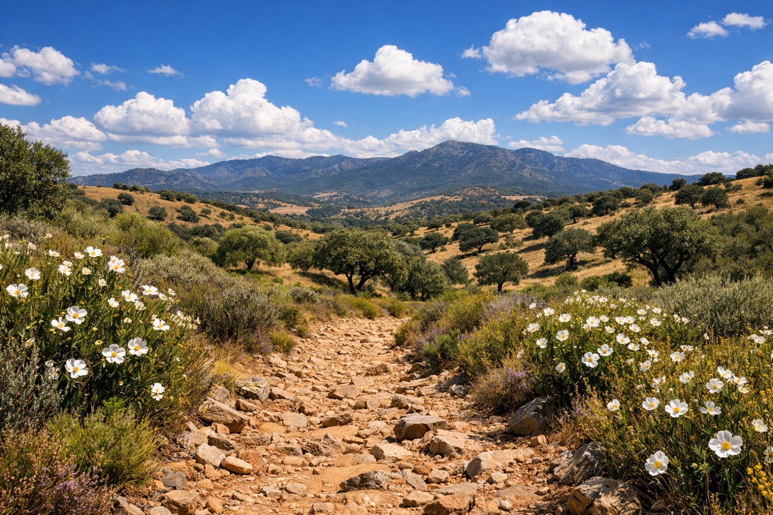 Stage 2Distance19 kmAscent518 mDescent208 m
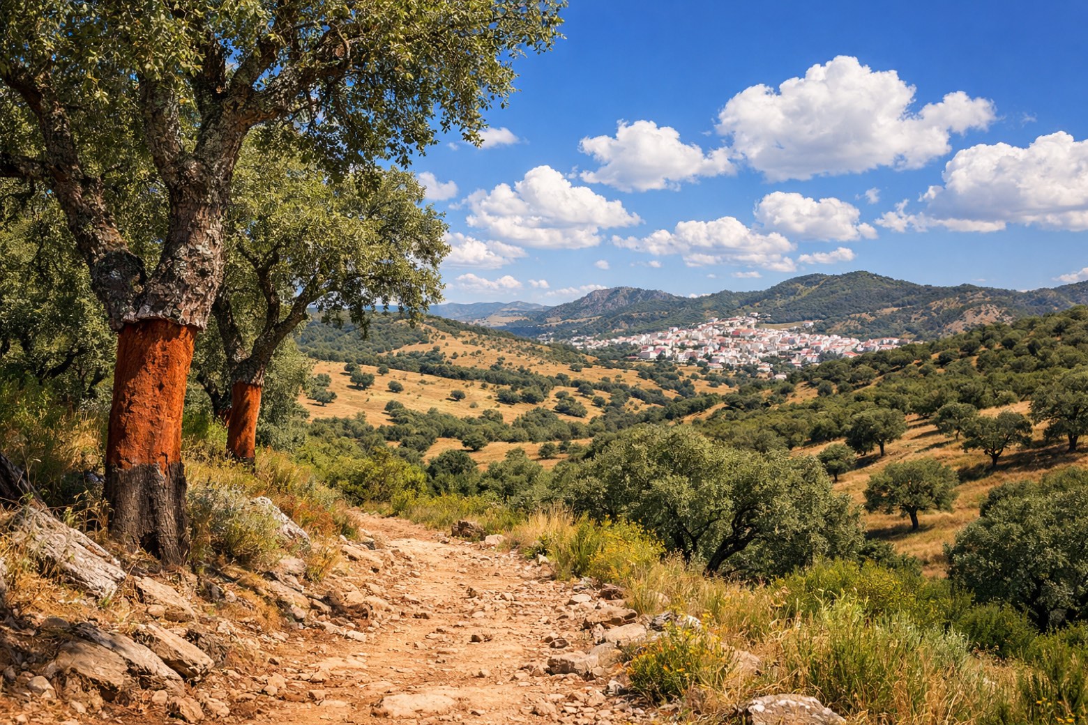 Stage 3Distance28 kmAscent839 mDescent710 m
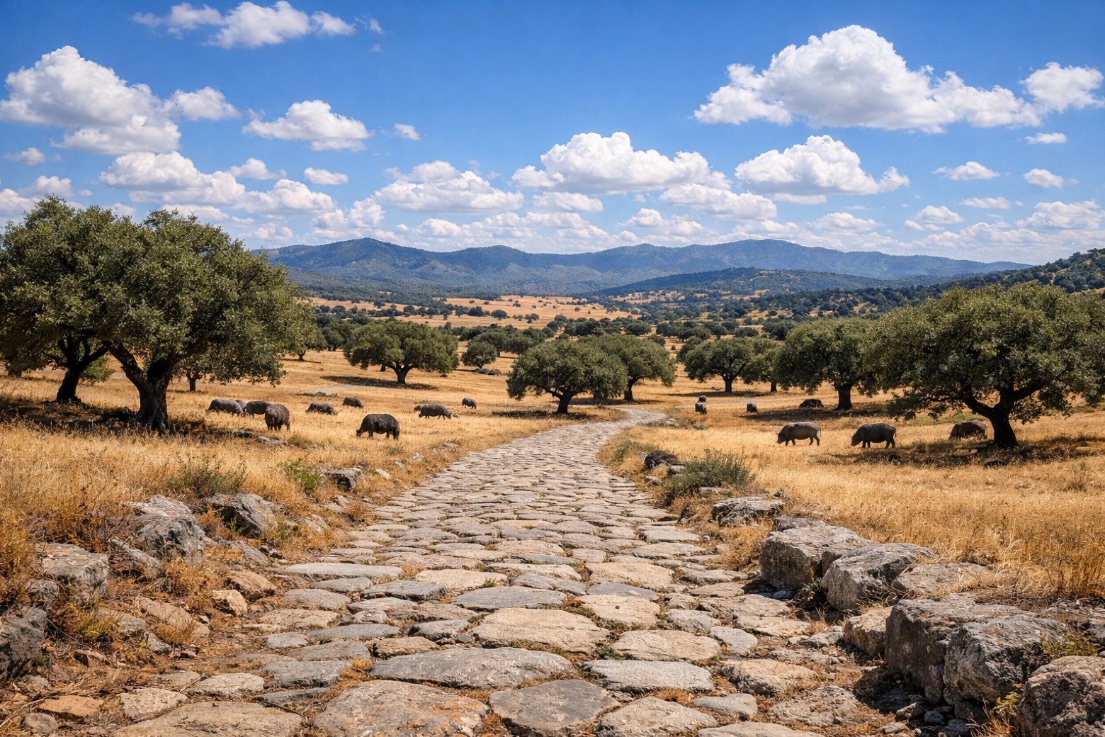 Stage 4
Almadén de la Plata → Monesterio
challengingDistance34 kmAscent1488 mDescent1191 m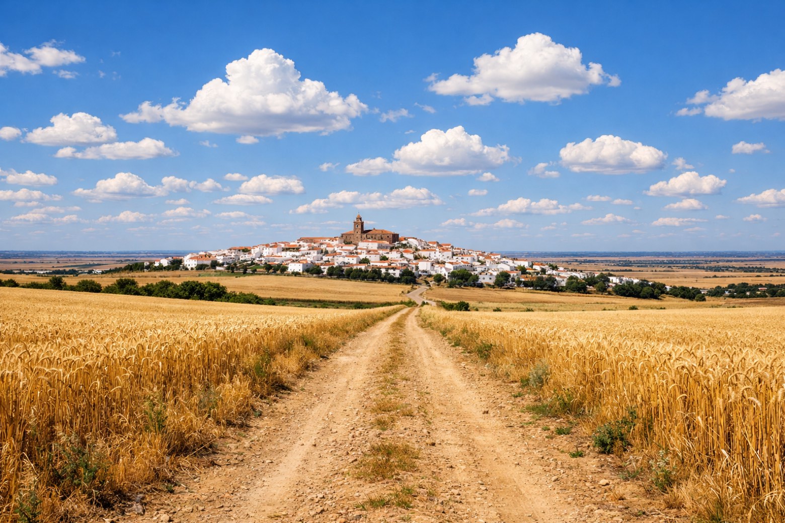 Stage 5
Monesterio → Fuente de Cantos
moderateDistance21 kmAscent357 mDescent527 m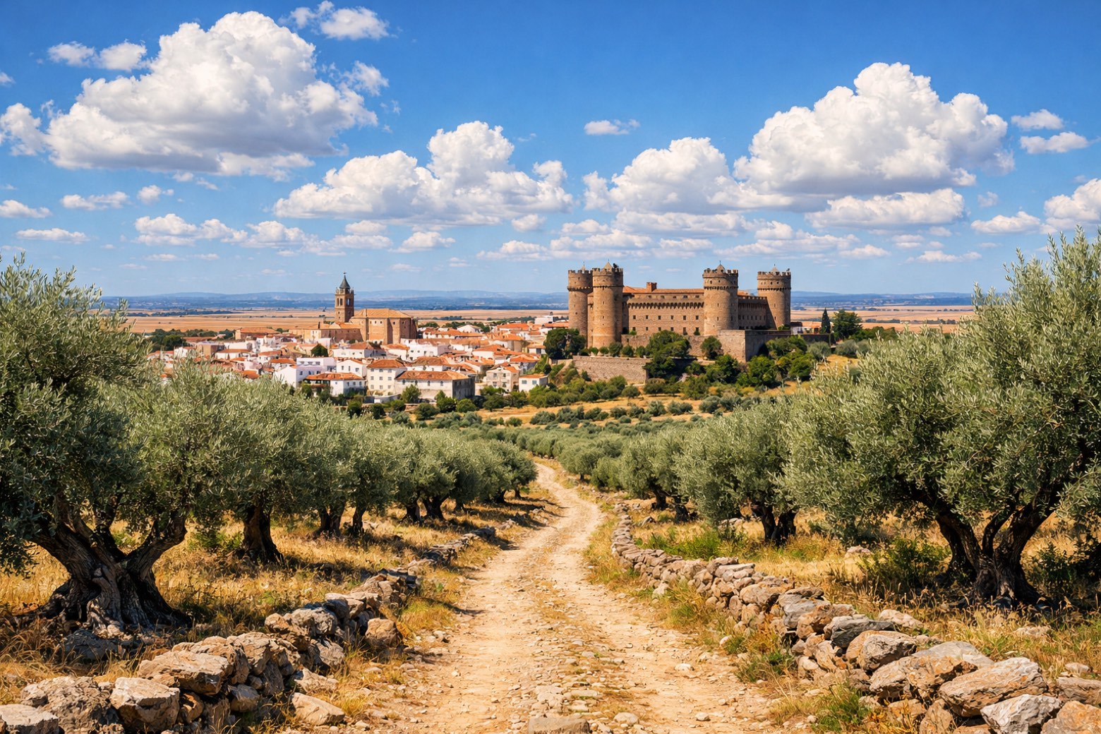 Stage 6
Fuente de Cantos → Zafra
moderateDistance24 kmAscent321 mDescent391 m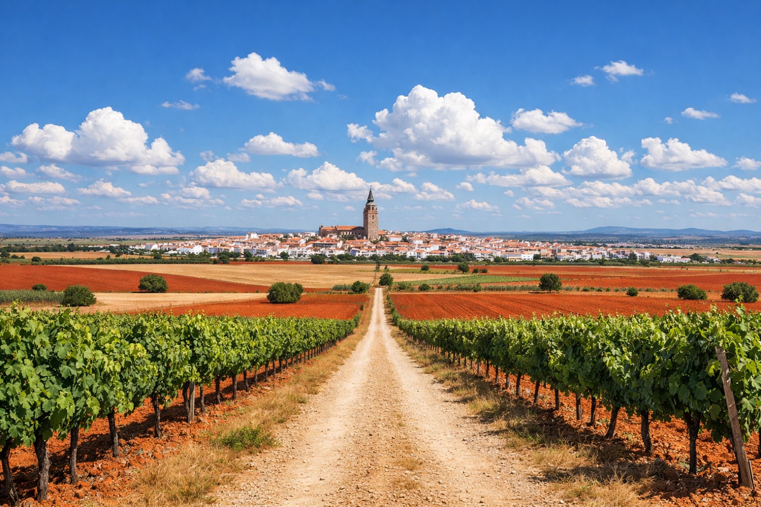 Stage 7Distance20 kmAscent360 mDescent452 m
 Stage 8
Villafranca de los Barros → Torremejía
challengingDistance27 kmAscent137 mDescent249 m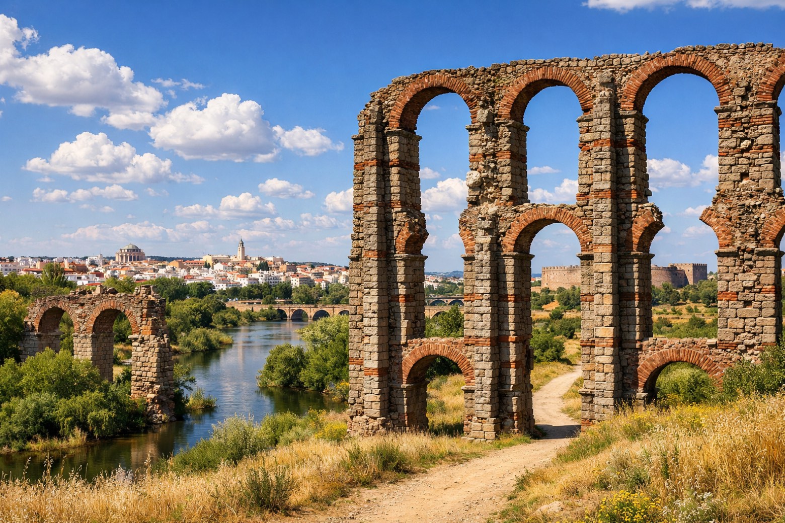 Stage 9
Torremejía → Mérida
moderateDistance15 kmAscent276 mDescent284 m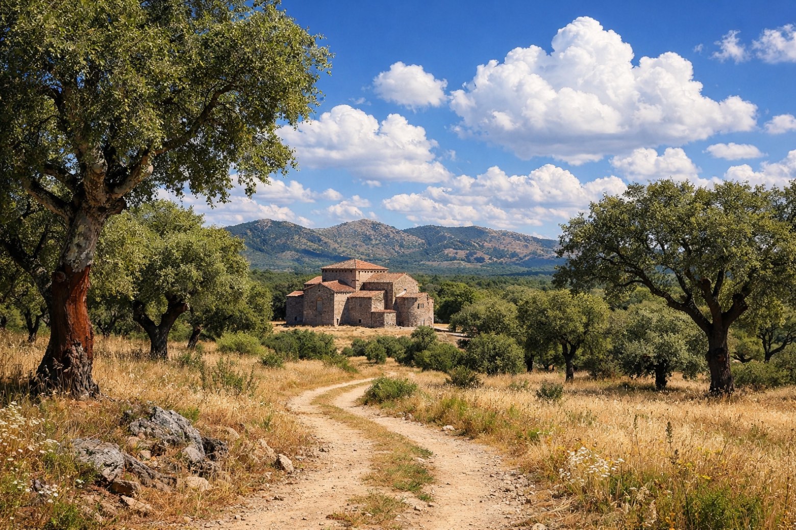 Stage 10
Mérida → Alcuéscar
challengingDistance36 kmAscent637 mDescent478 m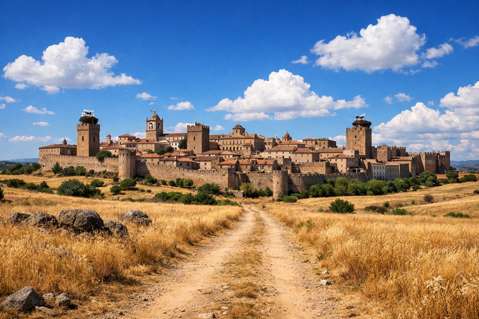 Stage 11
Alcuéscar → Cáceres
challengingDistance37 kmAscent630 mDescent643 m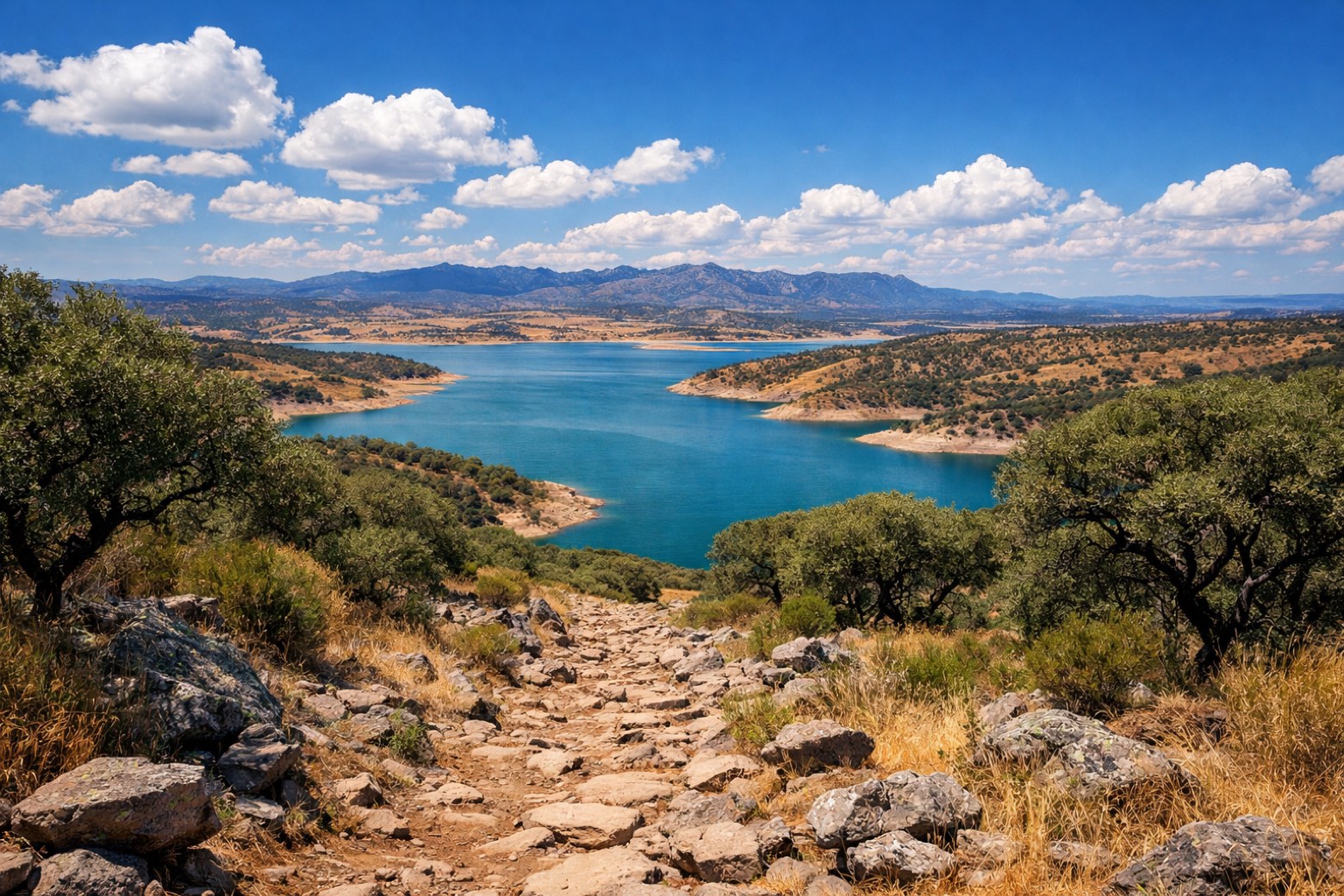 Stage 12
Cáceres → Embalse de Alcántara
challengingDistance34 kmAscent510 mDescent687 m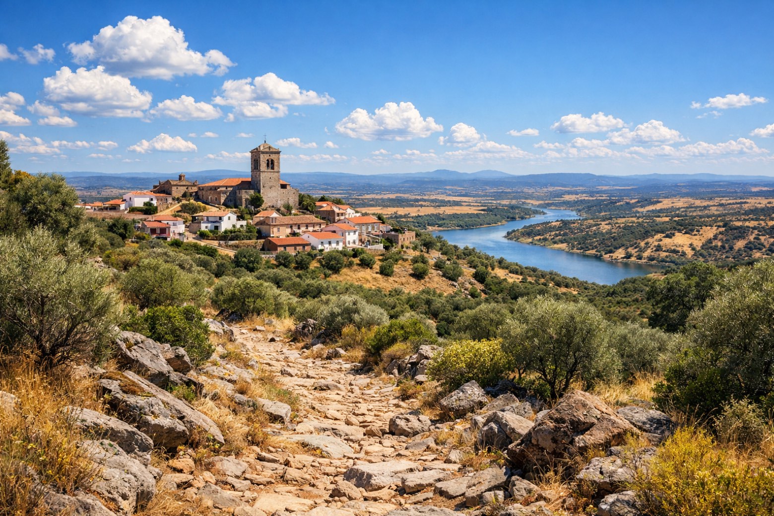 Stage 13
Embalse de Alcántara → Grimaldo
moderateDistance20 kmAscent1155 mDescent983 m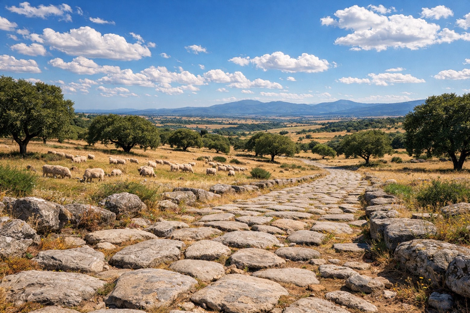 Stage 14
Grimaldo → Carcaboso
challengingDistance30 kmAscent443 mDescent610 m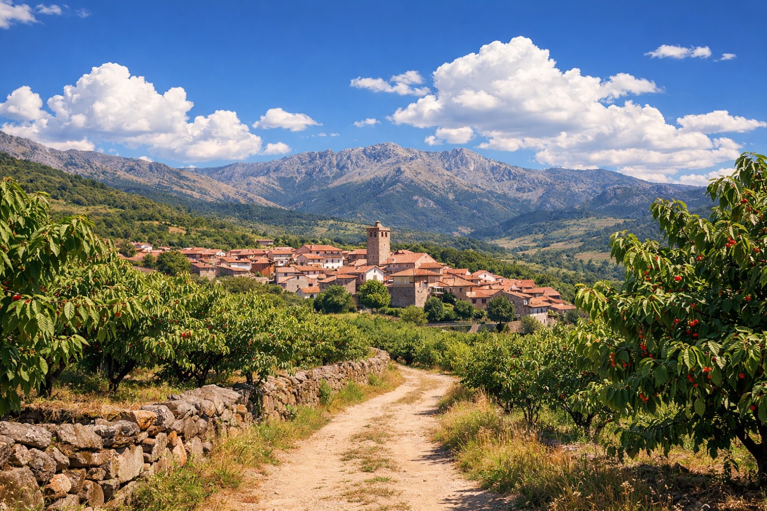 Stage 15
Carcaboso → Aldeanueva del Camino
challengingDistance38 kmAscent644 mDescent392 m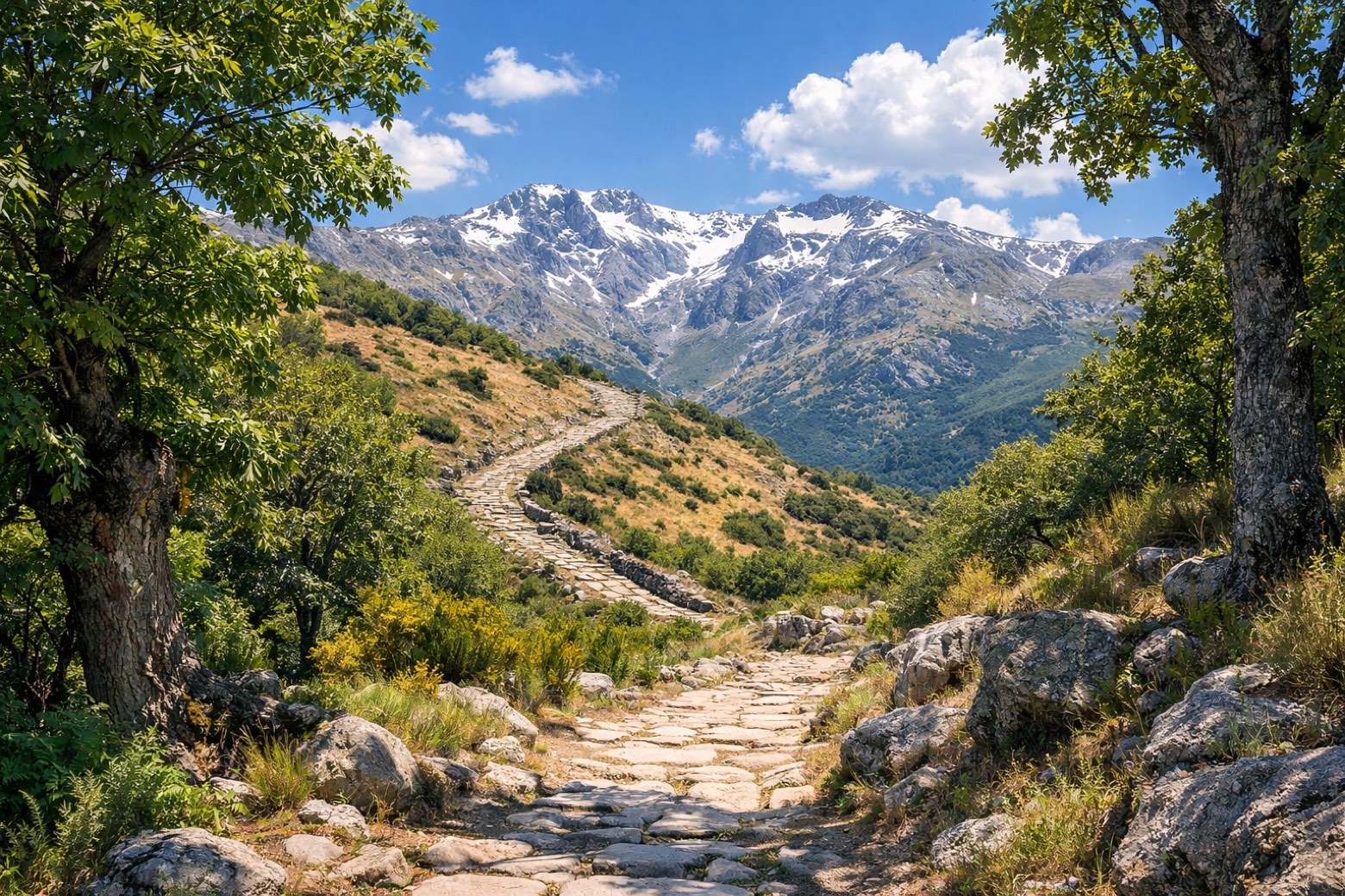 Stage 16Distance22 kmAscent723 mDescent448 m
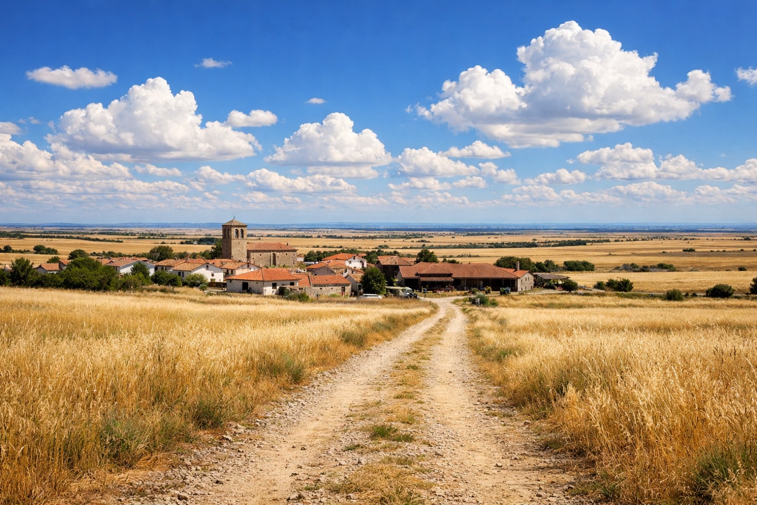 Stage 17Distance20 kmAscent315 mDescent157 m
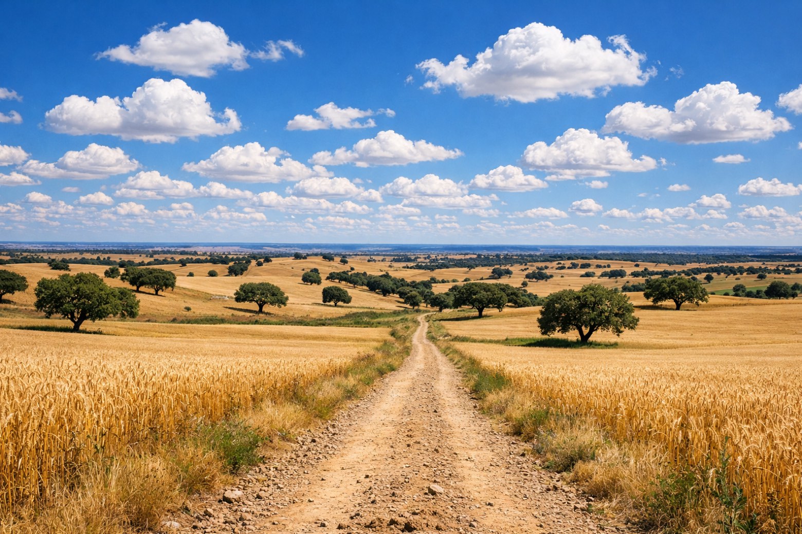 Stage 18Distance28 kmAscent471 mDescent451 m
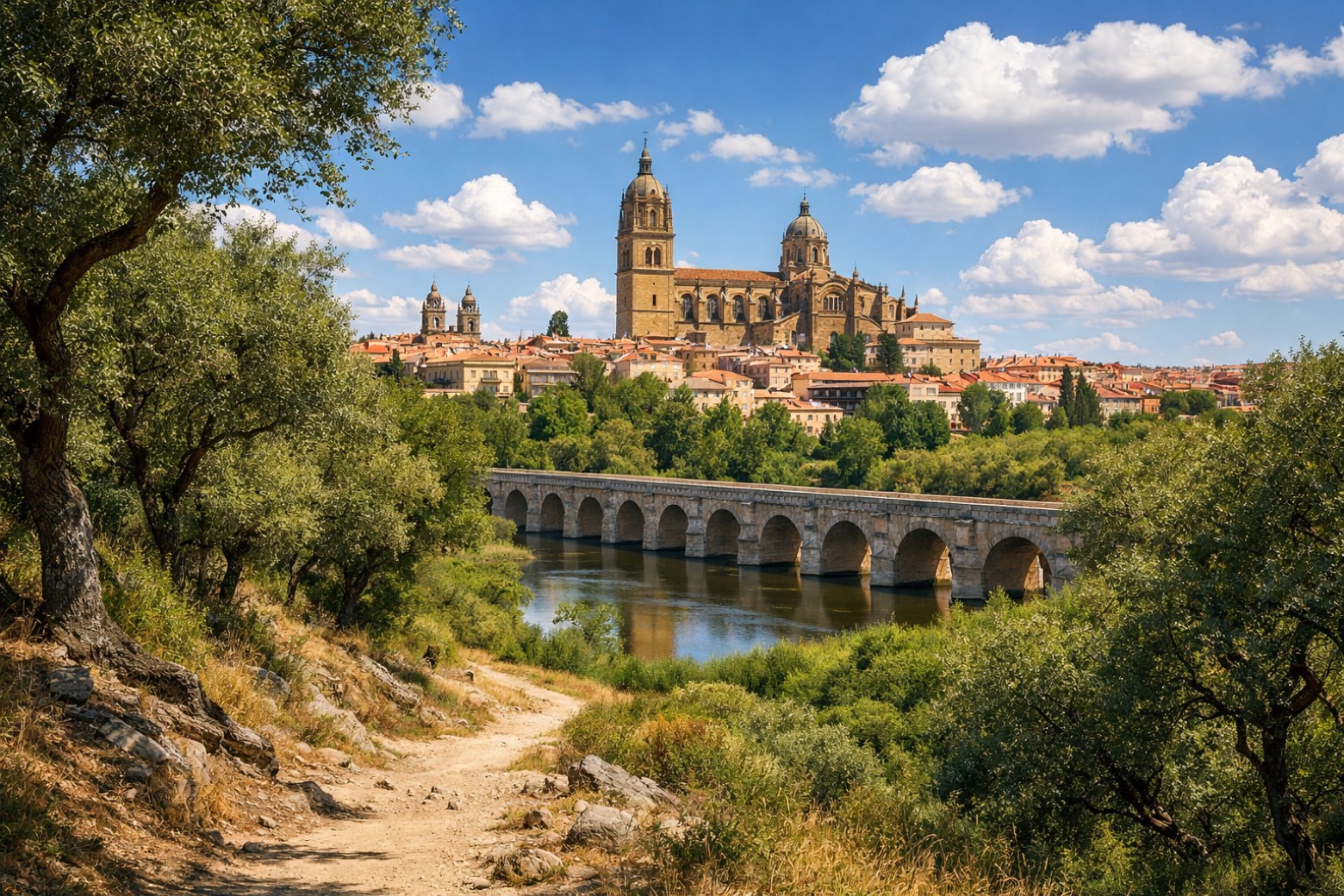 Stage 19
San Pedro de Rozados → Salamanca
moderateDistance24 kmAscent260 mDescent436 m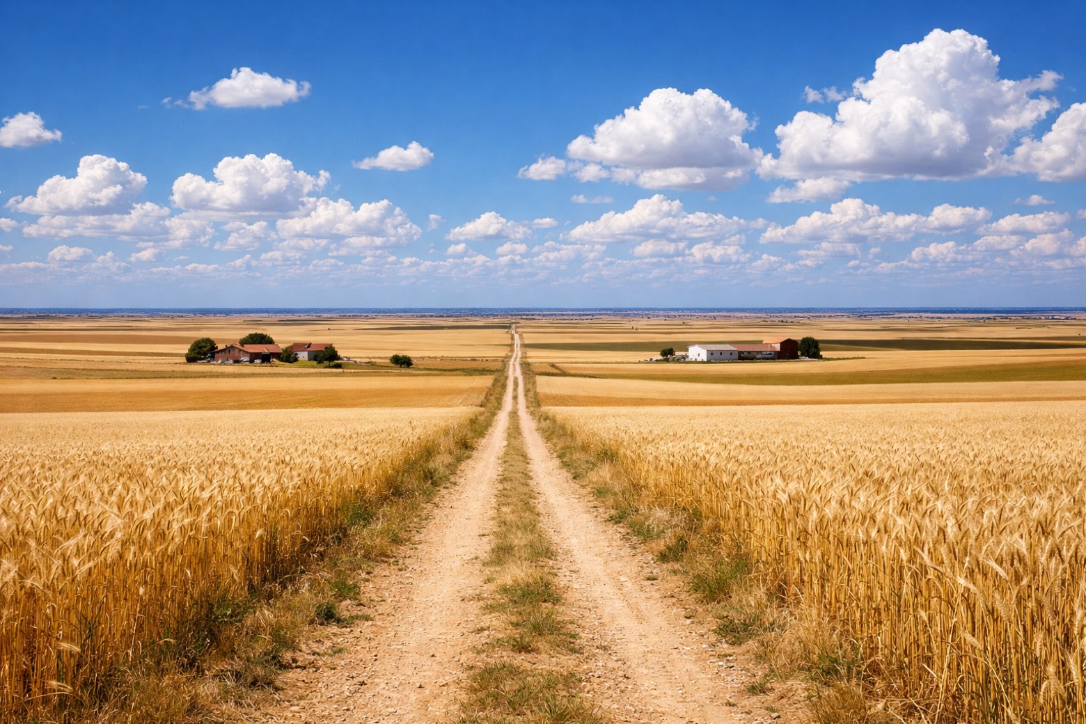 Stage 20
Salamanca → El Cubo del Vino
challengingDistance36 kmAscent363 mDescent305 m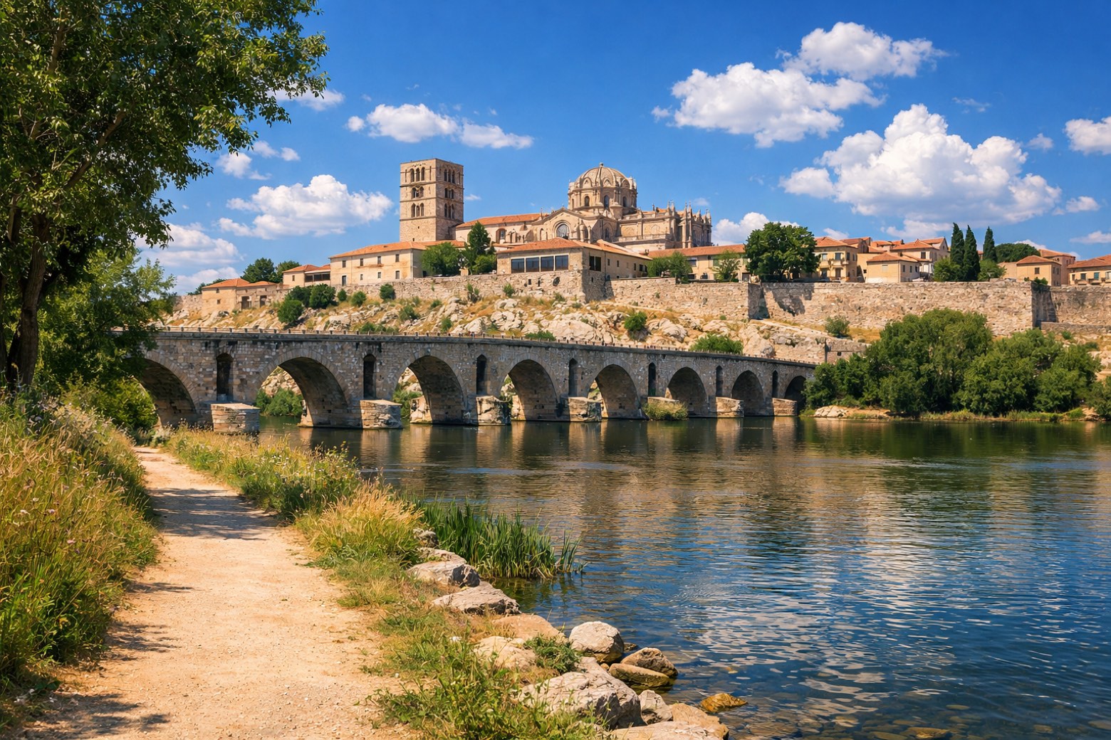 Stage 21
El Cubo del Vino → Zamora
challengingDistance32 kmAscent586 mDescent737 m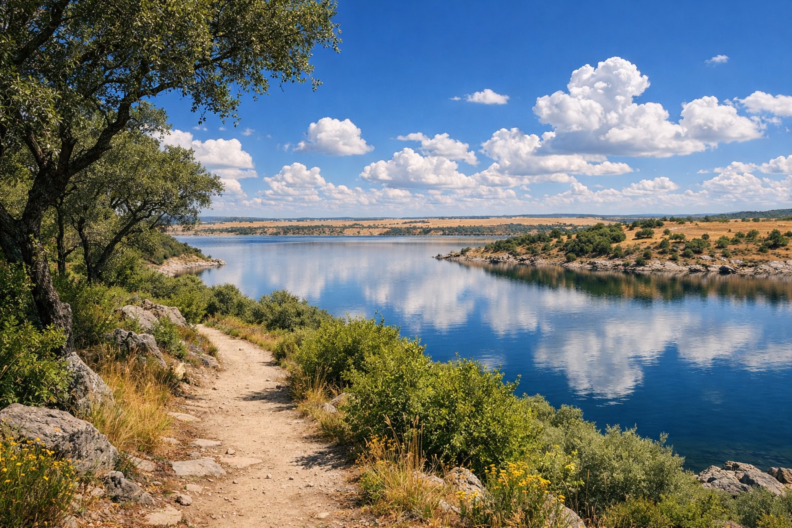 Stage 22
Zamora → Montamarta
moderateDistance19 kmAscent0 mDescent0 m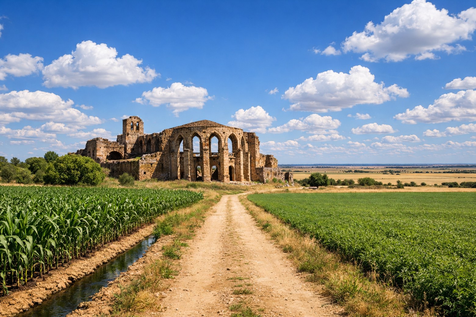 Stage 23
Montamarta → Granja de Moreruela
moderateDistance23 kmAscent222 mDescent218 m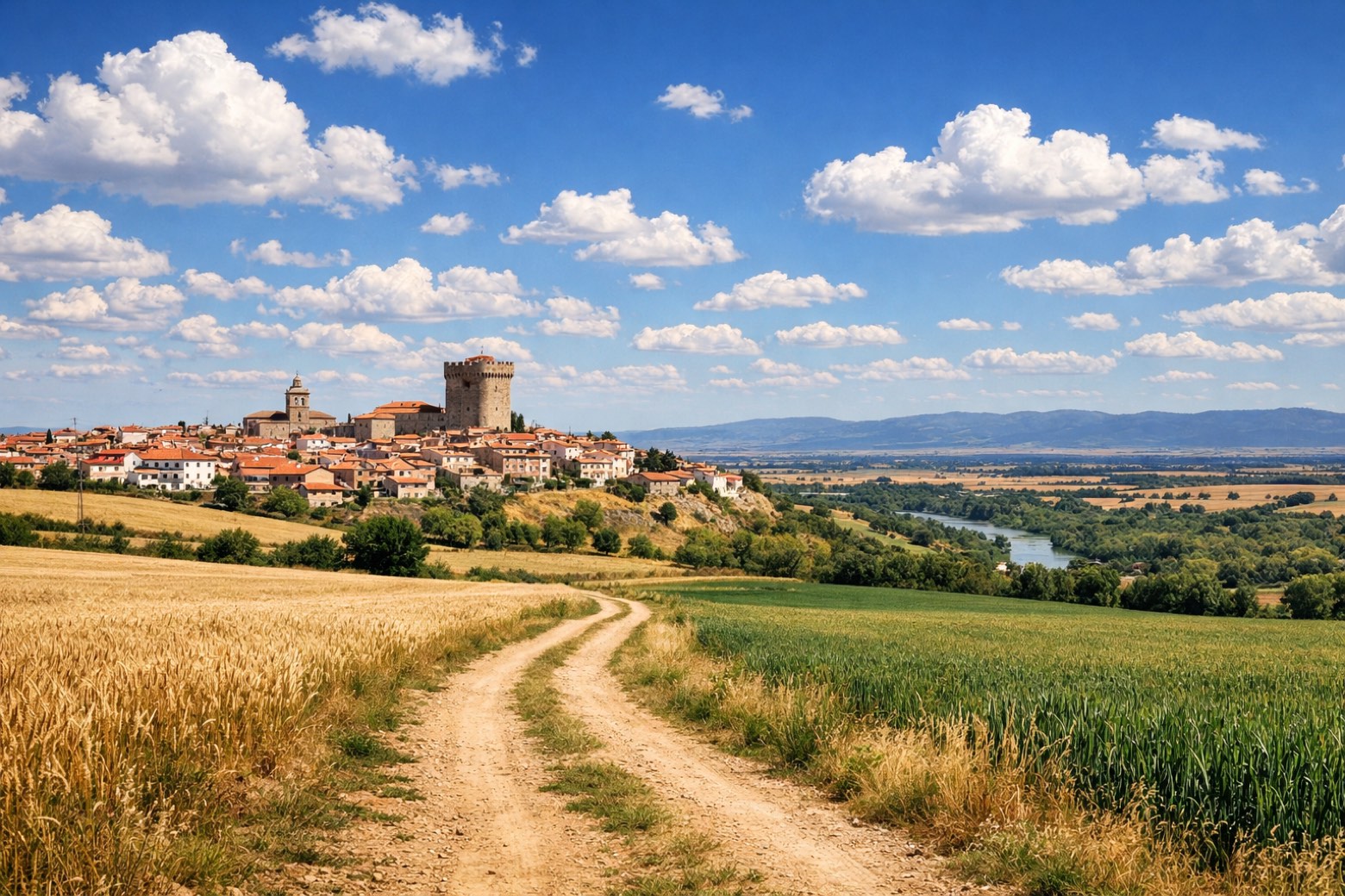 Stage 24
Granja de Moreruela → Benavente
challengingDistance27 kmAscent261 mDescent262 m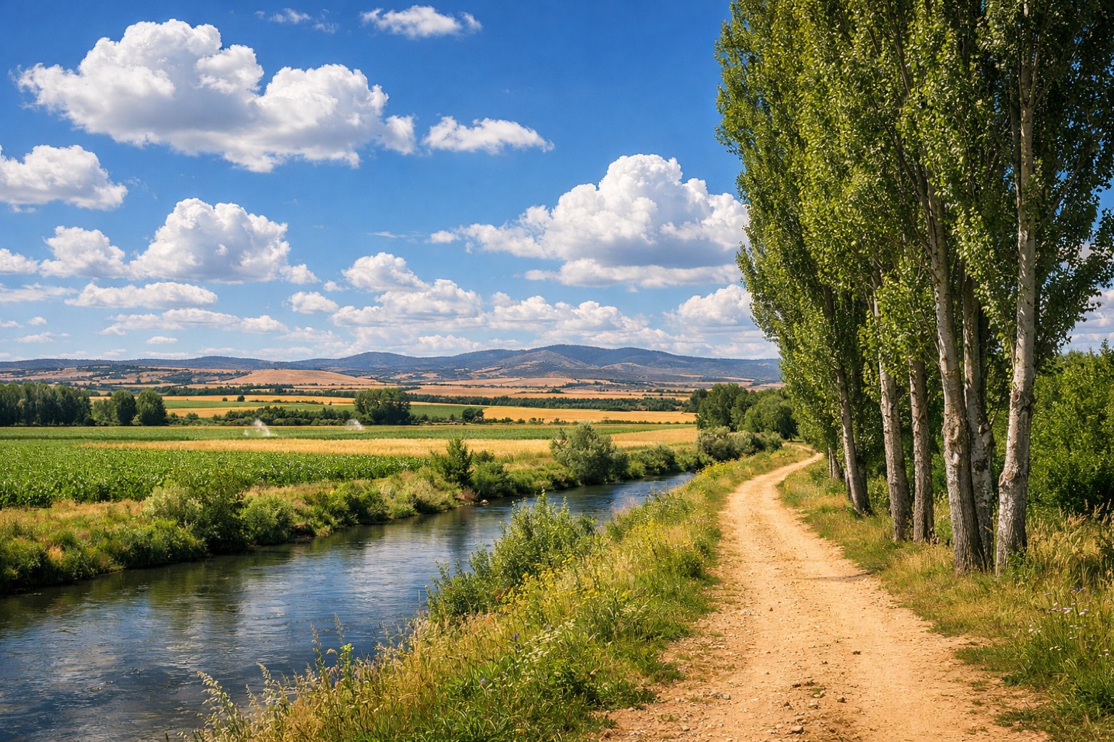 Stage 25
Benavente → Alija del Infantado
moderateDistance21 kmAscent381 mDescent352 m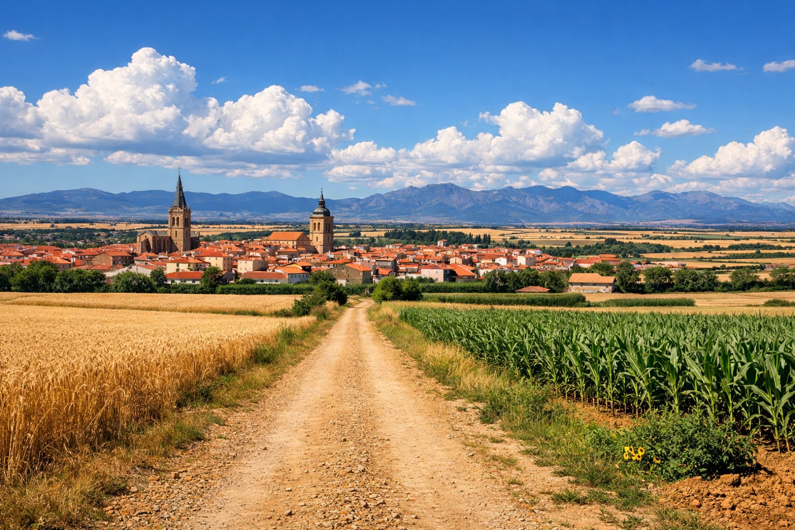 Stage 26
Alija del Infantado → La Bañeza
moderateDistance22 kmAscent188 mDescent141 m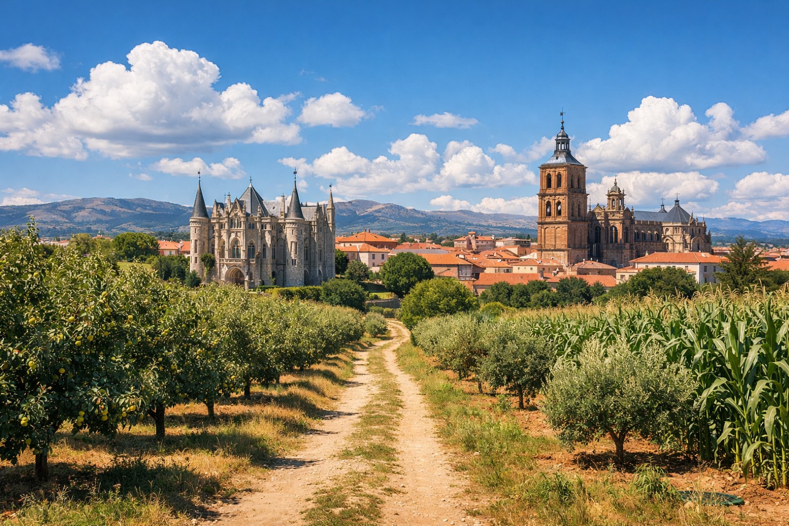 Stage 27
La Bañeza → Astorga
moderateDistance25 kmAscent300 mDescent235 m
Points of interest
- Monastery of San Francisco do Val de Deus
Monastery of San Francisco do Val de Deus. Monastery in Neoclassical style, in Santiago de Compostela, Spain, designated as part of UNESCO World Heritage Site.
- Museo das Peregrinacións e de Santiago
Museo das Peregrinacións e de Santiago. 20th-century museum, in Santiago de Compostela, Spain, designated as bien de interés cultural.
- Monte Pedroso
Monte Pedroso. Natural landmark, in Santiago de Compostela, Spain, at 461 m elevation.
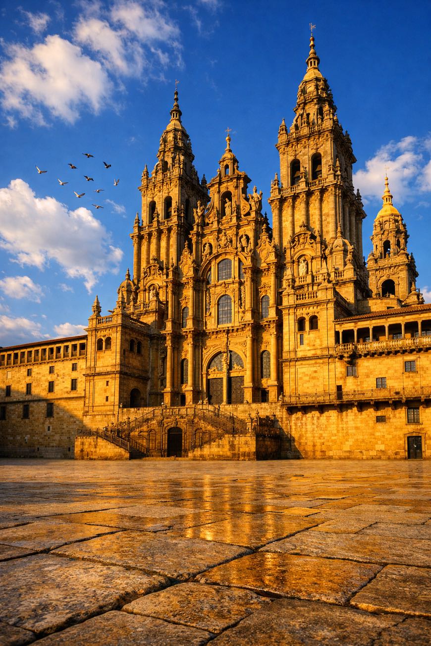
- Cathedral of Santiago de Compostela
9th-century romanesque architecture unknown. Designed by Fernando de Casas Novoa. Designated as bien de interés cultural.
- Castle of Zafra
Castle of Zafra. Palace, in Zafra, Spain, designated as bien de interés cultural.
- Iglesia de Santa Marina
- Museo del Convento de Santa Clara de Zafra
Museo del Convento de Santa Clara de Zafra. 21st-century museum, in Zafra, Spain, designated as bien de interés cultural.
- Sierra del Castellar
Travel
Find connections for your cammino.
Search trainsMore walks in Spain
Plan your walking trip
How to choose a walking route: stages, days and ascent
Choose a walking route by comparing daily stages, available days, ascent and transport links. Practical planning with examples from the Appy catalogue.
How to plan a walking trip by train and bus
Plan travel to and from your walk: stage endpoints, stations, stops and the connection to the trail. A practical guide to routes and transport with Appy.
Take your walk with you: download Appy
Via de la Plata. Explore maps, stages and elevation in the app, and plan your train or bus journey.