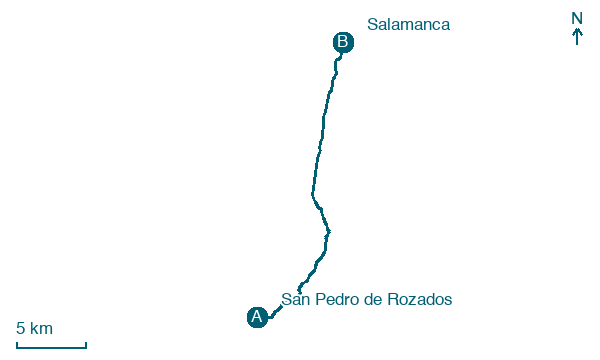
San Pedro de Rozados → Salamanca
Walking distance 23.4 km
Download Appy for the stage map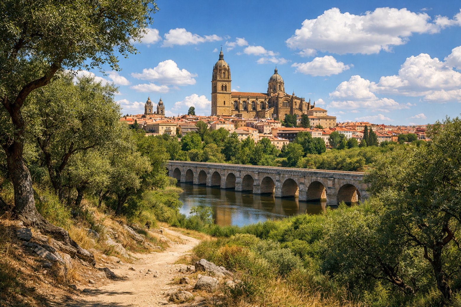
Stage information
- Ascent
- 91 m
- Descent
- 266 m
Difficulty: moderate (estimated)
Walking the stage
Roll into Salamanca after 23 km from San Pedro de Rozados via Morille and Miranda de Azán, with only 91 m of climbing.
On arrival in Salamanca, consider a stop at La Salina Palace, close to the finish.
Look for these places on the stage map: Urbanización Lomas Blancas, Aldeanueva, El Ventorro, and La Pinilla.
What to see on this stage
History and landmarks
La Salina Palace
< 100 m from the trail as the crow flies
16th-century monument, designed by Rodrigo Gil de Hontañón, in Salamanca, Spain, designated as bien de interés cultural.
Enrique Estevan Bridge
Bridge · < 100 m from the trail as the crow flies
20th-century bridge, dedicated to Enrique Estevan Santos, in Salamanca, Spain, designated as bien de interés cultural.
Nature and landscape
Old City of Salamanca
National park · < 100 m from the trail as the crow flies
Teso de San Vicente
Summit · 800 m from the trail as the crow flies
Map · San Pedro de Rozados → Salamanca
Take your walk with you: download Appy
Via de la Plata: San Pedro de Rozados → Salamanca. Explore maps, stages and elevation in the app, and plan your train or bus journey.

