Trekking dei Laghetti
Ticino, Switzerland
Switzerland · Fusio, Switzerland → Fusio, Switzerland
Distance
126 km
Stages
6
Difficulty
challenging
Best months
Apr-Jun, Sep-Oct
About
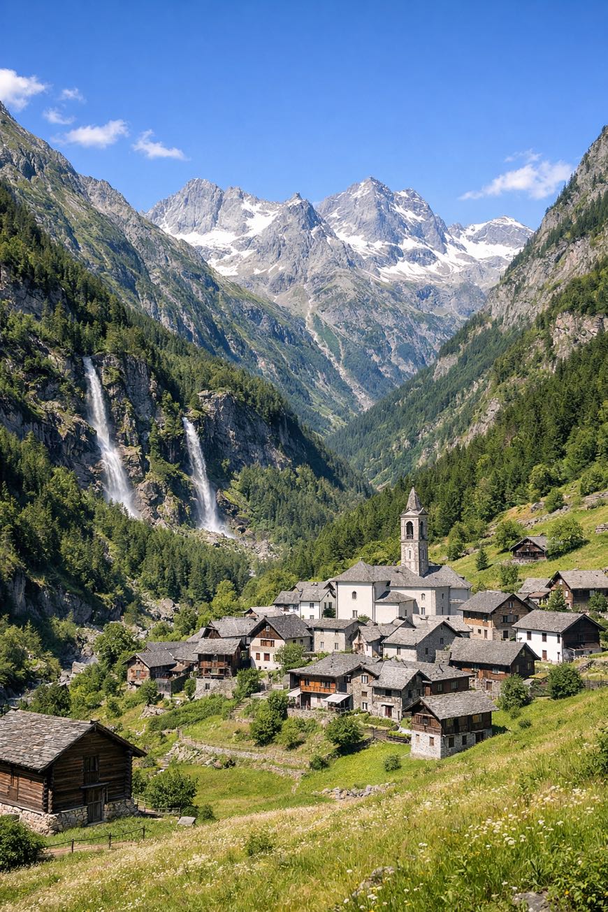
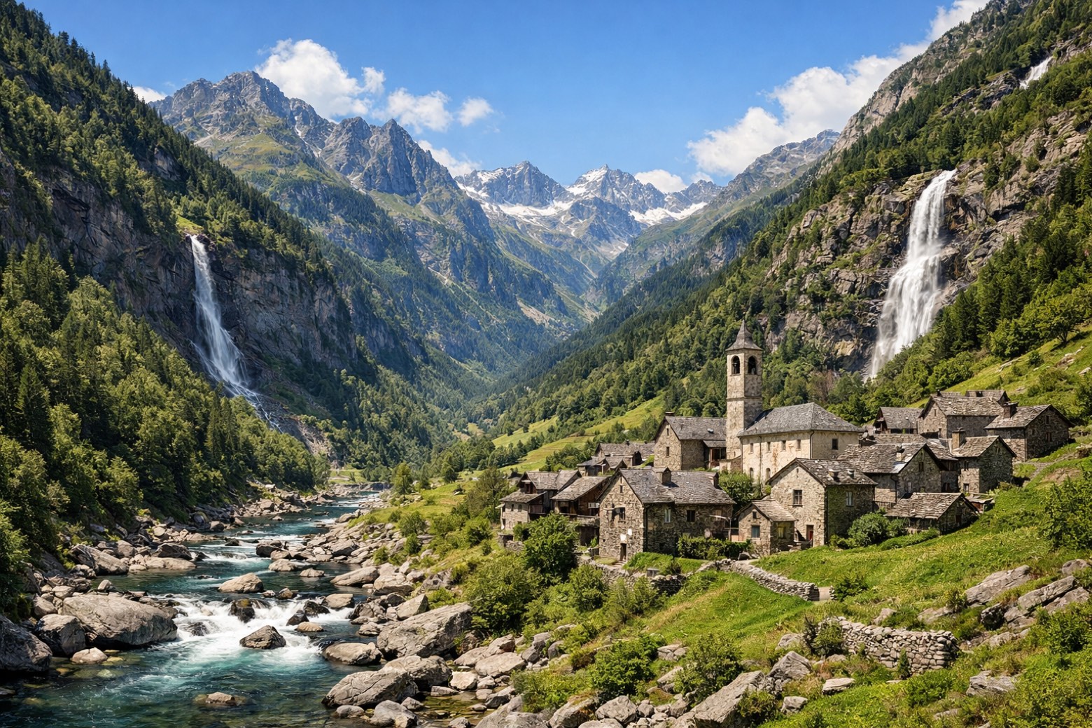
A 130 km loop through the Swiss Alps, six stages of valleys and alpine meadows. The Trekking dei Laghetti connects Fusio, Mogno, Cevio, and Bedretto, where streams murmur and mountain air sharpens the senses.
At Mario Botta’s church, the landscape shifts; the rugged peaks rise like ancient sentinels. With a total elevation gain of 9,013 metres, this route is beginner-friendly yet rich in cultural heritage.
Well-marked trails and cozy accommodations await, inviting you to lose yourself in the beauty of Ticino, all year round.
Stages
6 stages
 Stage 1
Fusio → Lavizzara
challengingDistance12 kmAscent1691 mDescent1003 m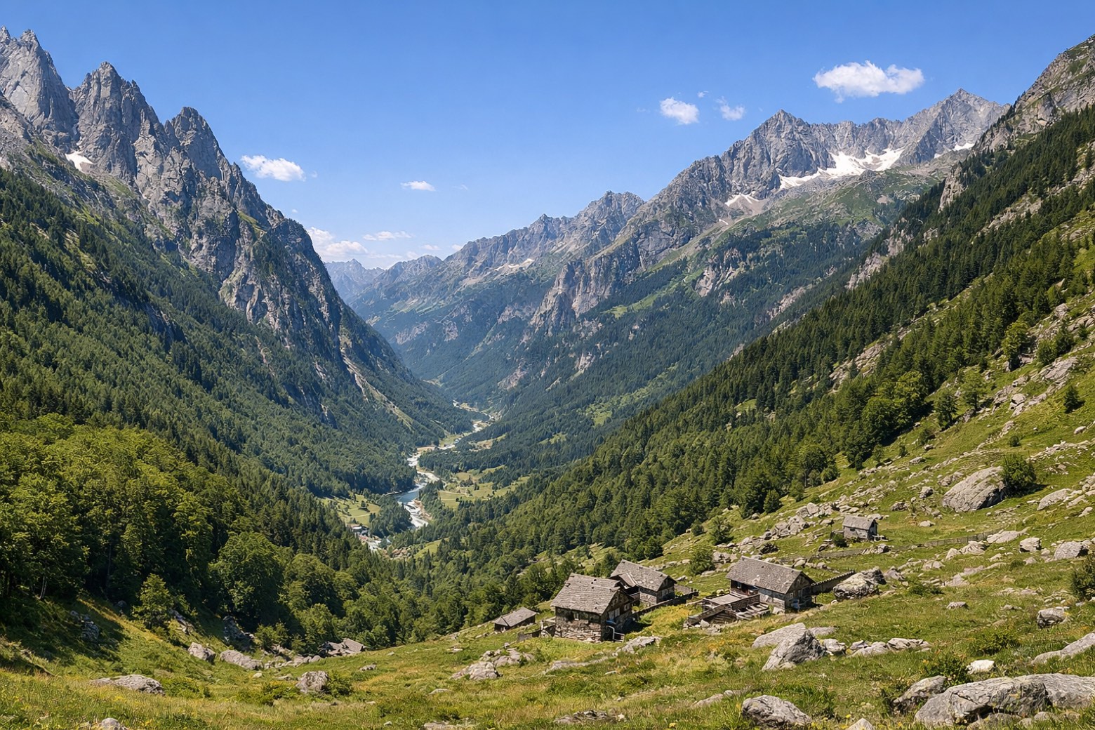 Stage 2
Lavizzara → Cevio
challengingDistance11 kmAscent1154 mDescent1020 m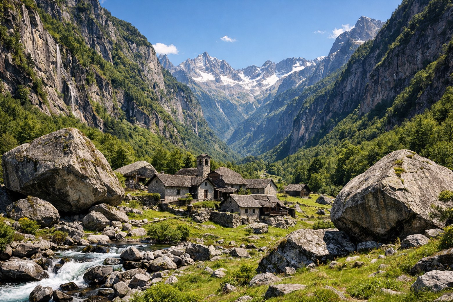 Stage 3
Cevio → Cevio
challengingDistance17 kmAscent1117 mDescent901 m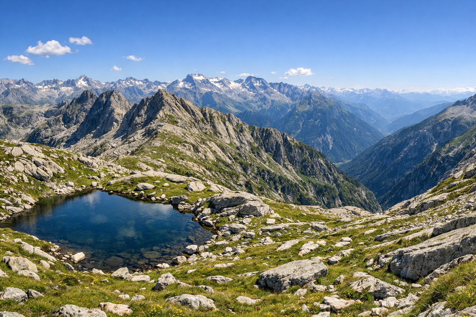 Stage 4
Cevio → Lavizzara
moderateDistance10 kmAscent682 mDescent746 m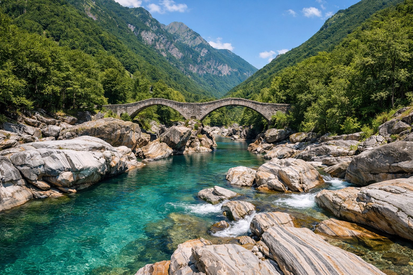 Stage 5
Lavizzara → Fusio
moderateDistance13 kmAscent738 mDescent1696 m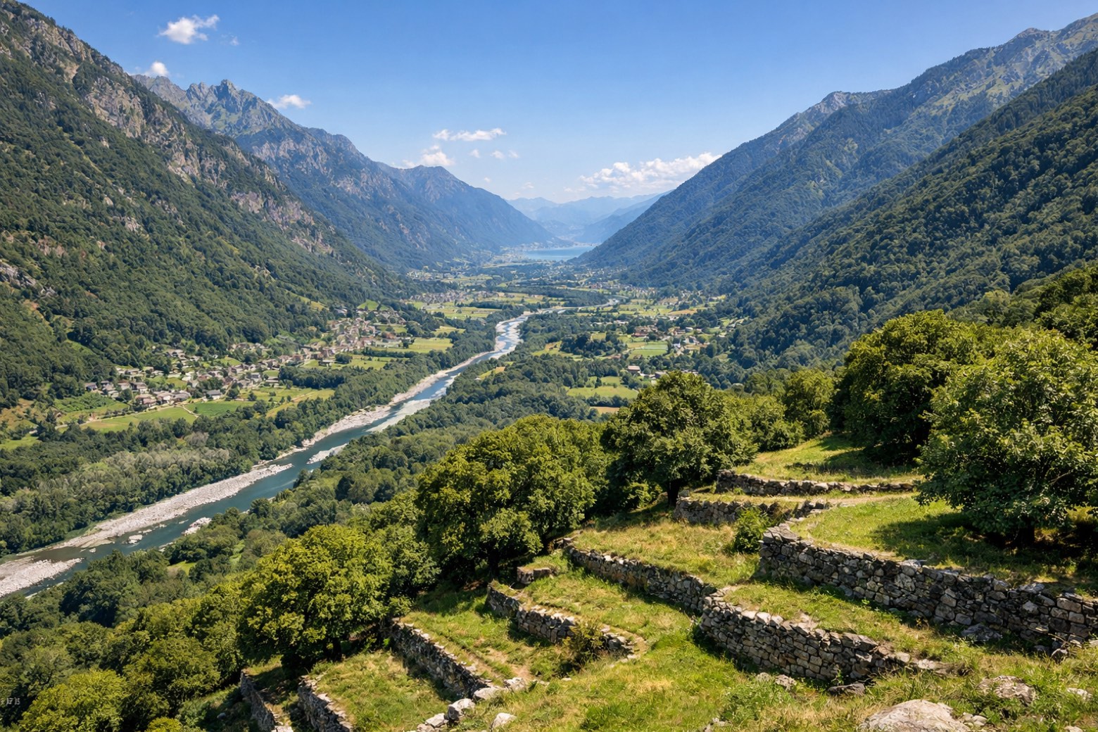 Stage 6
Fusio → Fusio
challengingDistance63 kmAscent3631 mDescent3685 m
Points of interest
- Pizzo Folcra
Pizzo Folcra. Natural landmark, in Canton of Ticino, Switzerland, at 2,662 m elevation.
- Il Madone
Il Madone is a mountain of the Lepontine Alps, located in the Swiss canton of Ticino. On its southern side lies Lago del Narèt.
- Il Forno
Il Forno. Natural landmark, in Canton of Ticino, Switzerland, at 2,320 m elevation.
- Pizzo Sella
Pizzo Sella. Natural landmark, in Canton of Ticino, Switzerland, at 2,516 m elevation.
- Pizzo Galarescio
Pizzo Galarescio. Natural landmark, in Canton of Ticino, Switzerland, at 2,729 m elevation.
- Lago Sfundau
Lago Sfundau. Lake, in Canton of Ticino, Switzerland, at 2,390 m elevation, covering 0.1 km².
- Lago del Narèt
Lago del Narèt. Lake, in Canton of Ticino, Switzerland, at 2,271 m elevation.
- Lake Cristallina
Lake. Lake Cristallina is a lake in the canton Ticino, Switzerland.
Travel
Find connections for your cammino.
Search trainsPlan your walking trip
How to choose a walking route: stages, days and ascent
Choose a walking route by comparing daily stages, available days, ascent and transport links. Practical planning with examples from the Appy catalogue.
How to plan a walking trip by train and bus
Plan travel to and from your walk: stage endpoints, stations, stops and the connection to the trail. A practical guide to routes and transport with Appy.
Take your walk with you: download Appy
Trekking dei Laghetti. Explore maps, stages and elevation in the app, and plan your train or bus journey.