Cevio → Lavizzara
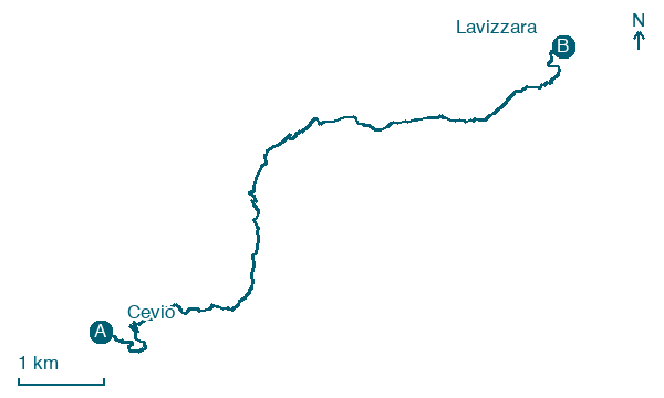
Walking distance 10.3 km
Download Appy for the stage map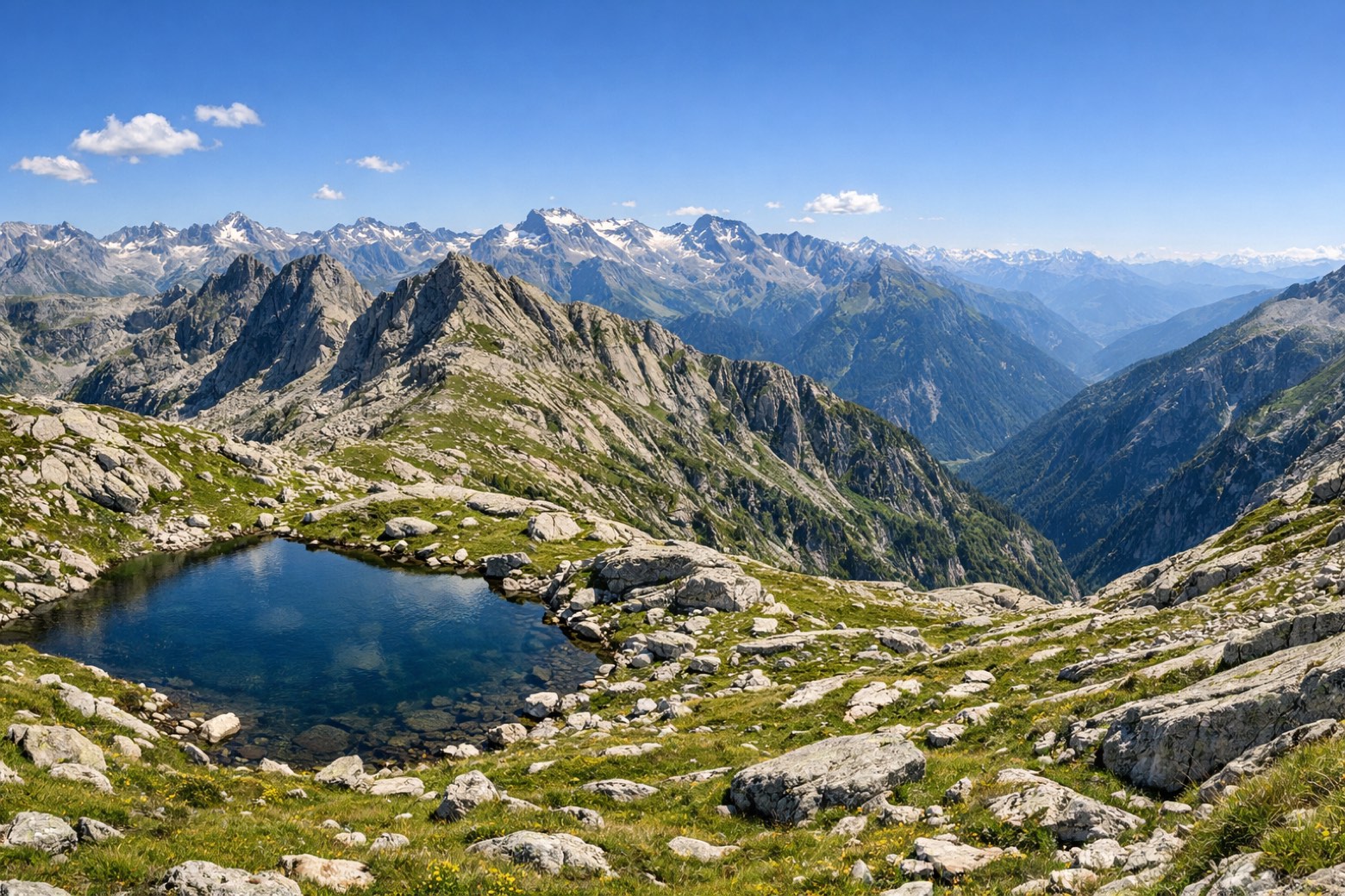
Stage information
- Ascent
- 682 m
- Descent
- 746 m
Difficulty: moderate
Walking the stage
Head back from Cevio to Lavizzara over 10 km of trail, with 682 m of climbing to get through.
What to see on this stage
History and landmarks
Pizzo Galarescio
400 m from the trail as the crow flies
Natural landmark, in Canton of Ticino, Switzerland, at 2,729 m elevation.
Pizzo Folcra
700 m from the trail as the crow flies
Natural landmark, in Canton of Ticino, Switzerland, at 2,662 m elevation.
Nature and landscape
Lago Sfundau
Lake · 200 m from the trail as the crow flies
Alpine lake at 2392 m, close to the Capanna Cristallina hut at the head of the Val Bavona. It feeds a hydroelectric scheme that also includes the Zöt, Robiei and Cavagnoli dams, and covers about 12.9 hectares.
Cresta del Coro
Summit · 400 m from the trail as the crow flies
Peak, in Vallemaggia District, Switzerland, at 2,814 m elevation.
Map · Cevio → Lavizzara
Take your walk with you: download Appy
Trekking dei Laghetti: Cevio → Lavizzara. Explore maps, stages and elevation in the app, and plan your train or bus journey.

