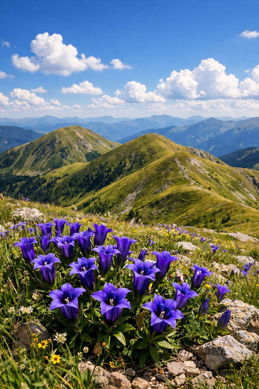
Nockberge-Trail
Kärnten, Austria
Austria · Katschberg, Austria → Seebach, Austria
Distance
128 km
Stages
8
Difficulty
moderate
Best months
Apr-Jun, Sep-Oct
Nockberge-Trail · Stages and distances
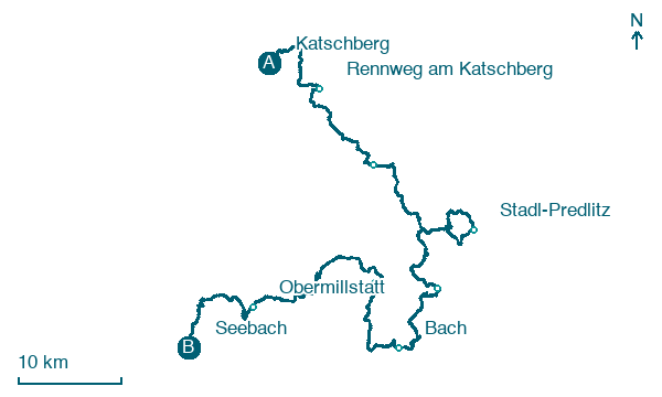
Walking distances for Appy’s stages (8)
| Stage | km |
|---|---|
| 1. Katschberg → Rennweg am Katschberg | 11.1 |
| 2. Rennweg am Katschberg → Innerkrems | 15.3 |
| 3. Innerkrems → Stadl-Predlitz | 20.6 |
| 4. Stadl-Predlitz → Reichenau | 18 |
| 5. Reichenau → Bach | 12.9 |
| 6. Bach → Radenthein | 13.1 |
| 7. Radenthein → Obermillstatt | 21.7 |
| 8. Obermillstatt → Seebach | 15.6 |
| Total | 128.3 |
About
A 130-km journey through the Nock Mountains. Eight stages, 6,415 metres of elevation gain, and yet, the terrain is gentle, welcoming beginners.
Start at Katschberg, where the scent of pine needles mingles with fresh alpine air. Traverse picturesque waypoints like Turracher Höhe and Bad Kleinkirchheim, pausing by tranquil lakes and rounded hilltops.
This isn’t just a hike; it's a modern self-discovery through lush meadows and geological . Year-round accessibility means clarity awaits, whether in the spring blooms or autumn hues.
Finish in Seebach, but the journey lingers.
Stages
8 stages
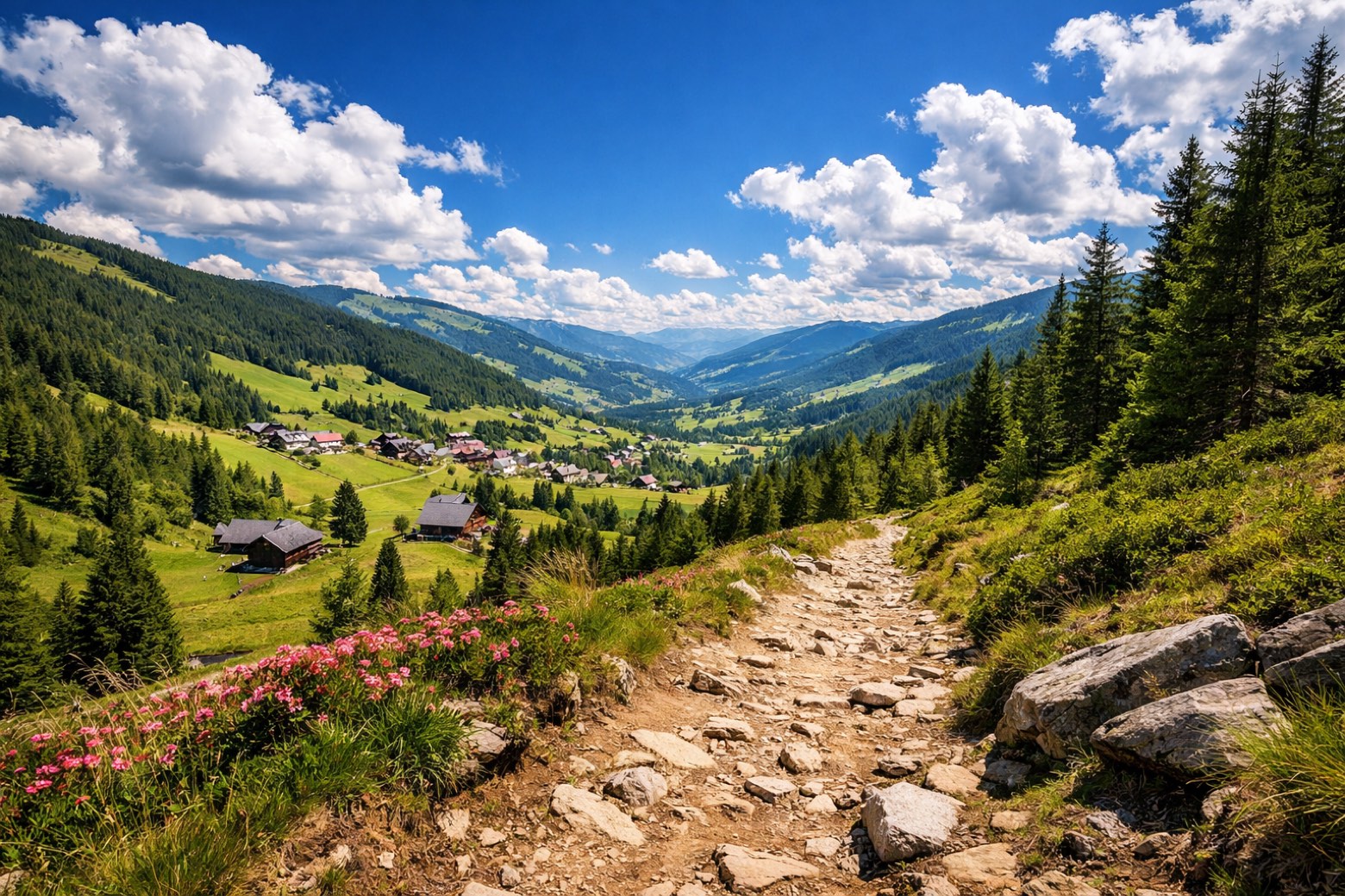 Stage 1
- Distance
- 11 km
- Ascent
- 513 m
- Descent
- 452 m
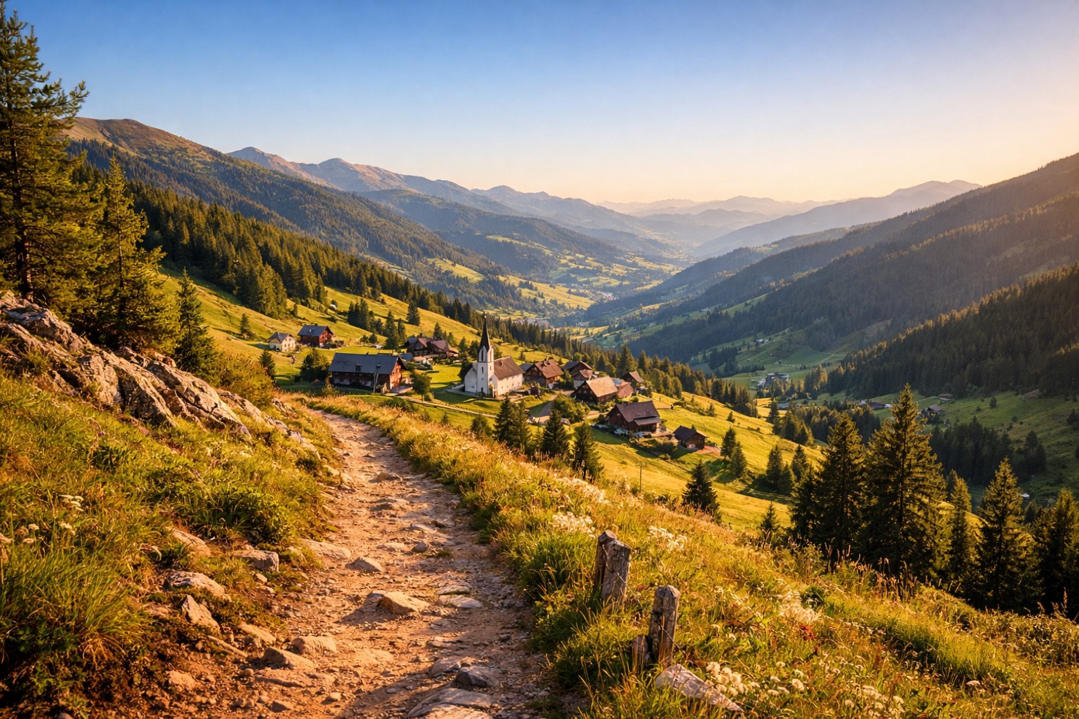 Stage 2
- Distance
- 15 km
- Ascent
- 825 m
- Descent
- 978 m
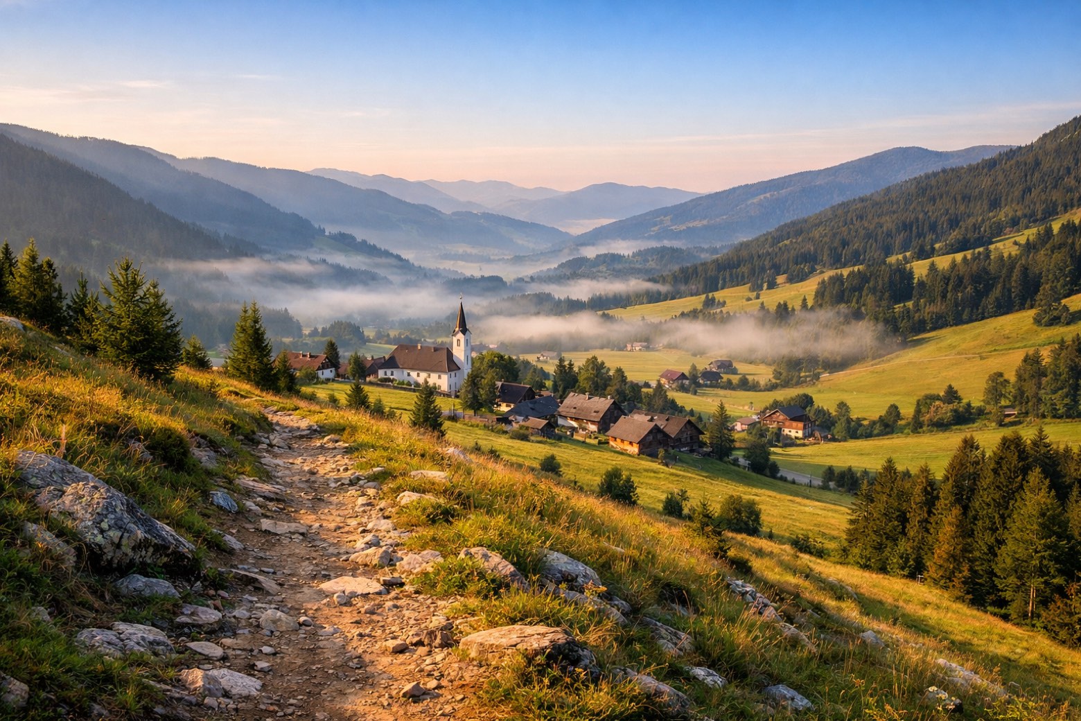 Stage 3
Innerkrems → Stadl-Predlitz
moderate- Distance
- 21 km
- Ascent
- 989 m
- Descent
- 787 m
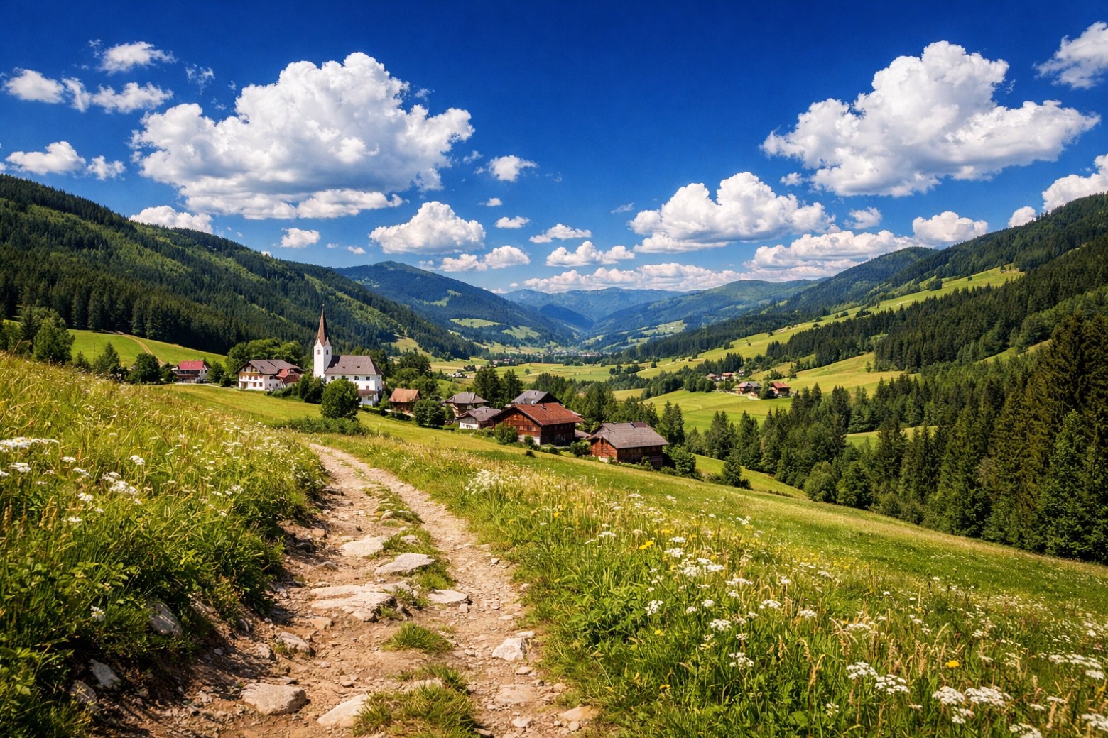 Stage 4
Stadl-Predlitz → Reichenau
challenging- Distance
- 18 km
- Ascent
- 1158 m
- Descent
- 1063 m
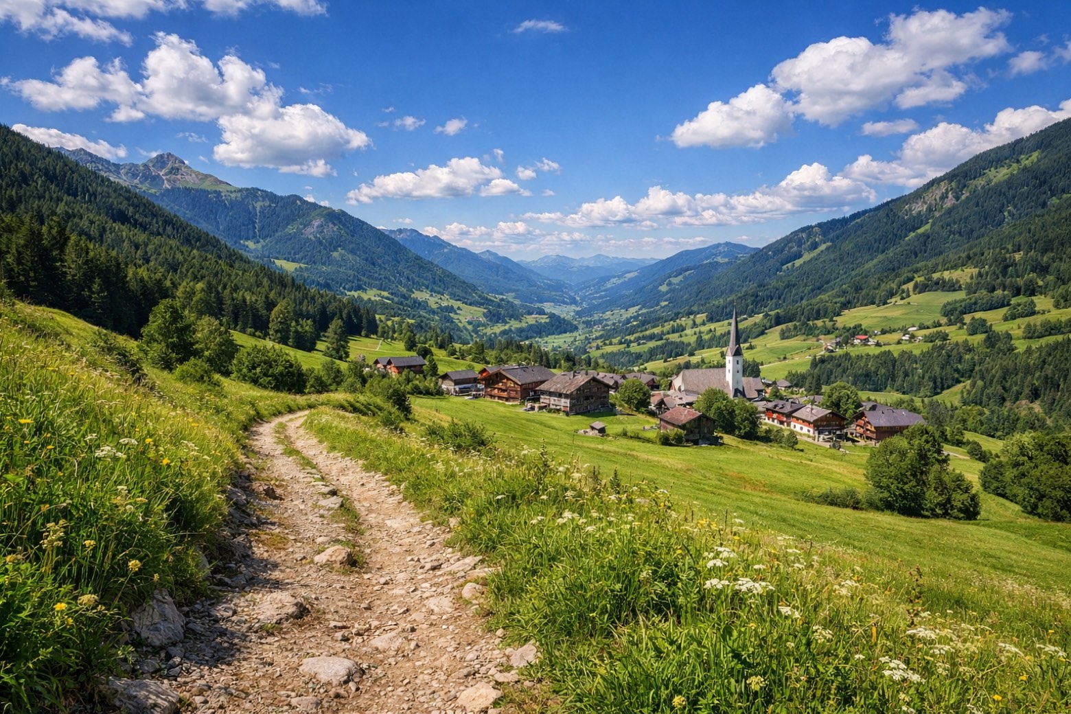 Stage 5
Reichenau → Bach
moderate- Distance
- 13 km
- Ascent
- 403 m
- Descent
- 1259 m
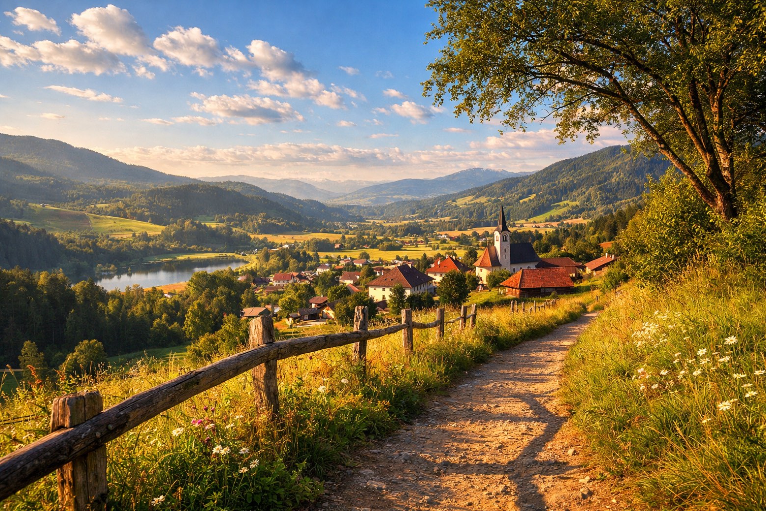 Stage 6
Bach → Radenthein
challenging- Distance
- 13 km
- Ascent
- 1207 m
- Descent
- 564 m
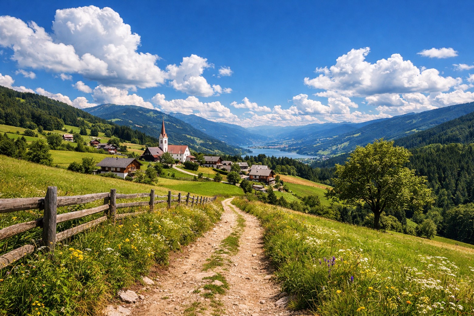 Stage 7
Radenthein → Obermillstatt
challenging- Distance
- 22 km
- Ascent
- 1047 m
- Descent
- 825 m
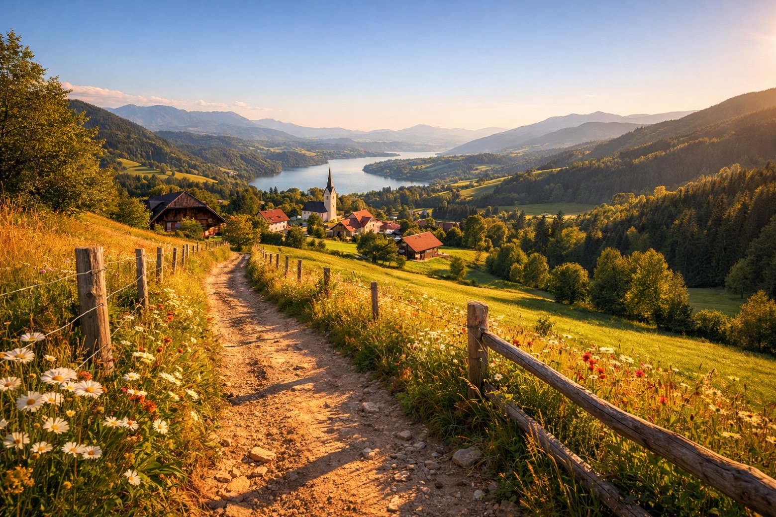 Stage 8
Obermillstatt → Seebach
moderate- Distance
- 16 km
- Ascent
- 273 m
- Descent
- 1547 m
Points of interest
- Sommeregg Castle
Unknown. Designated as Listed objects in Austria.
- Tschierweger Nock
Natural landmark, in Millstatt am See, Austria, at 2,010 m elevation.
- Pfannnock
A 2,254 metre summit of the Nockberge, in the core zone of the biosphere park.
- Großer Rosennock
The Großer Rosennock is, at 2,440 m AA (8,010 ft), the second highest of the Gurktal Alps in Carinthia, Austria, after the Eisenhut, which is just one meter higher.
- Spitzeck
Natural landmark, in Bad Kleinkirchheim, Austria, at 1,909 m elevation.
- Millstätter Berg
The Millstätter Berg is a high plateau between Millstätter See and Millstätter Alpe (Nockberge) in Carinthia, Austria.
- Millstätter Alpe
The Millstätter Alpe (2091 m above sea level) is a mountain ridge in the Nockberge in Carinthia, northeast of Millstätter See.
- Fratresberg
Natural landmark, in Seeboden am Millstätter See, Austria, at 719 m elevation.
Travel
Find connections for your cammino.
Search trainsPlan your walking trip
All articles and guidesHow to choose a walking route: stages, days and ascent
How many days can you actually spend walking? Start there, then choose stages that leave you time to stop along the way.
How to plan a walking trip by train and bus
Two different stations, a last bus and a backpack. Fit the journeys out and home around the days you want to spend walking.
Take your walk with you: download Appy
Nockberge-Trail. Explore maps, stages and elevation in the app, and plan your train or bus journey.

