Abriès (Abriès-Ristolas) to Aiguilles
- Distance
- 14.3 km
- Ascent
- 971 m
- Descent
- 1051 m
- Difficulty
- moderate
Climb through Malrif (Abriès-Ristolas). At the fork below Lac du Grand Laus, turn towards the Crête du Serre de l’Aigle. Descend past the ruins of the Chalets d’Eygliers and cross the Torrent du Lombard to enter Aiguilles. Photograph — Clocher de l’église Saint-Jean-Baptiste d’Aiguilles (MOSSOT, CC BY 3.0). Wikimedia Commons. Cropped and resized. https://commons.wikimedia.org/wiki/File:Aiguilles_-751.jpg · https://creativecommons.org/licenses/by/3.0
Open this stage in Appy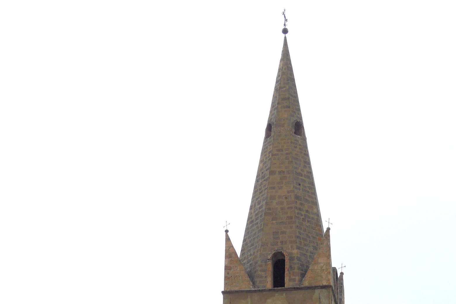
Before leaving Abriès (Abriès-Ristolas), locate Calvaire on the map. It is close to the starting point.
Look for these places on the stage map: Malrif (Abriès-Ristolas).
What to see on this stage
History and landmarks
Notre-Dame des Sept Douleurs
Church · < 100 m from the trail as the crow flies
Calvaire
< 100 m from the trail as the crow flies
Nature and landscape
Pic du Malrif
1,000 m from the trail as the crow flies
Col du petit Malrif
1 km from the trail as the crow flies