Près du Bois de la Brune (Abriès-Ristolas) to Pic du Malrif
- Distance
- 12.9 km
- Ascent
- 1367 m
- Descent
- 442 m
- Difficulty
- moderate
Descend from Près du Bois de la Brune (Abriès-Ristolas) to Le Roux (Abriès-Ristolas). The high route then crosses Col des Thures / Colle di Thuras, Col de Rasis and Col du Malrif to finish at Pic du Malrif. Col du Petit Malrif is a further 255 m on foot. Photograph — Pic du Malrif depuis le Petit Rochebrune (Pampuco, CC BY-SA 4.0). Wikimedia Commons. Cropped and resized. https://commons.wikimedia.org/wiki/File:Pic_du_Malrif_from_Petit_Rochebrune.png · https://creativecommons.org/licenses/by-sa/4.0
Open this stage in Appy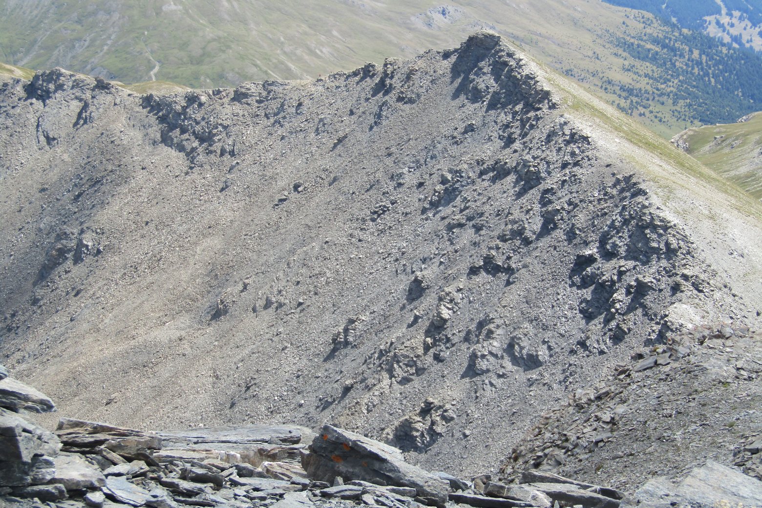
Look for these places on the stage map: Le Roux (Abriès-Ristolas).
What to see on this stage
History and landmarks
Chapelle Saint-Antoine
Church · < 100 m from the trail as the crow flies
Chapelle de la Montette
Church · < 100 m from the trail as the crow flies
Nature and landscape
Col des Thures / Colle di Thuras
< 100 m from the trail as the crow flies
Col de Rasis
< 100 m from the trail as the crow flies