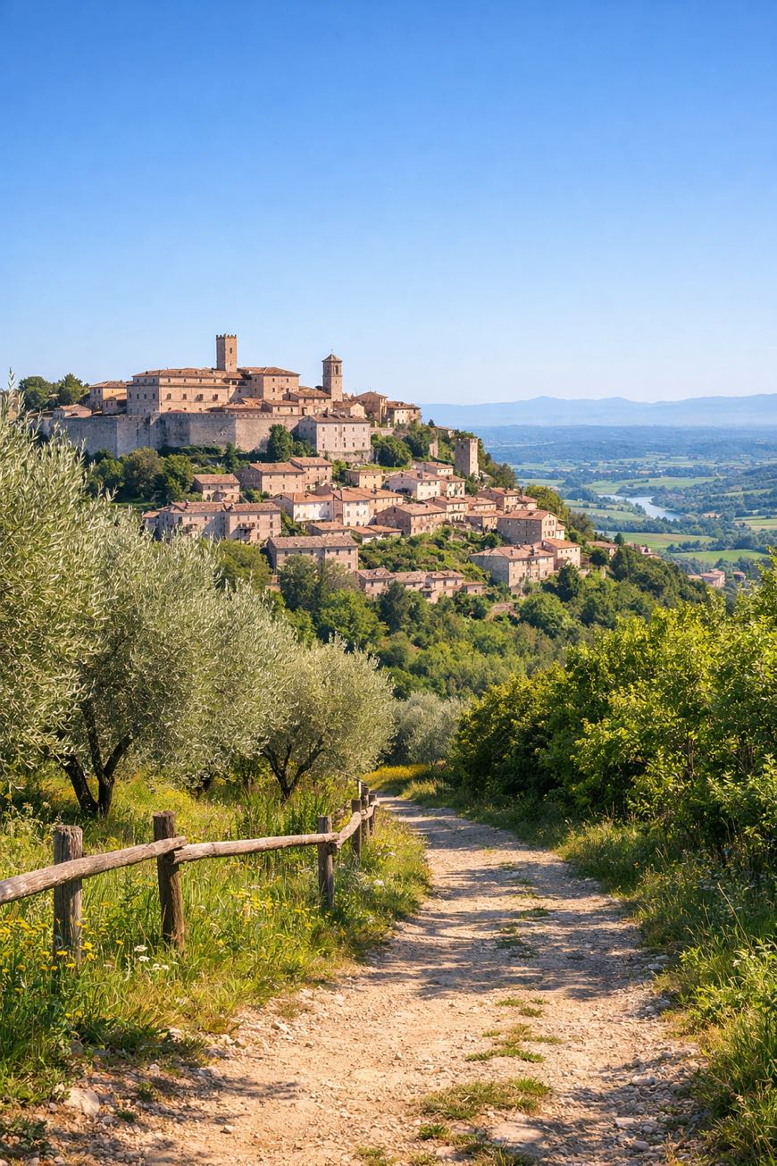
Cammino di Germanico
Umbria, Italy
Italy · Amelia, Italy → Amelia, Italy
Distance
74 km
Stages
8
Difficulty
easy
Best months
Apr-Jun, Sep-Oct
About
Amelia's cobblestone streets echo with history. The Cammino di Germanico loops about 75 km through the Umbrian countryside, where ancient ruins whisper tales of Roman legacies.
Eight stages, from Foce to Santa Restituta, reveal rolling hills, vineyards, and olive groves, with an elevation gain of 2,539 m that both novice and seasoned walkers. Feel the warm sun on your skin as you traverse this cultural walk, where each step is a brush with local traditions and flavors.
History isn't just seen; it’s felt in every stride.
Stages
8 stages
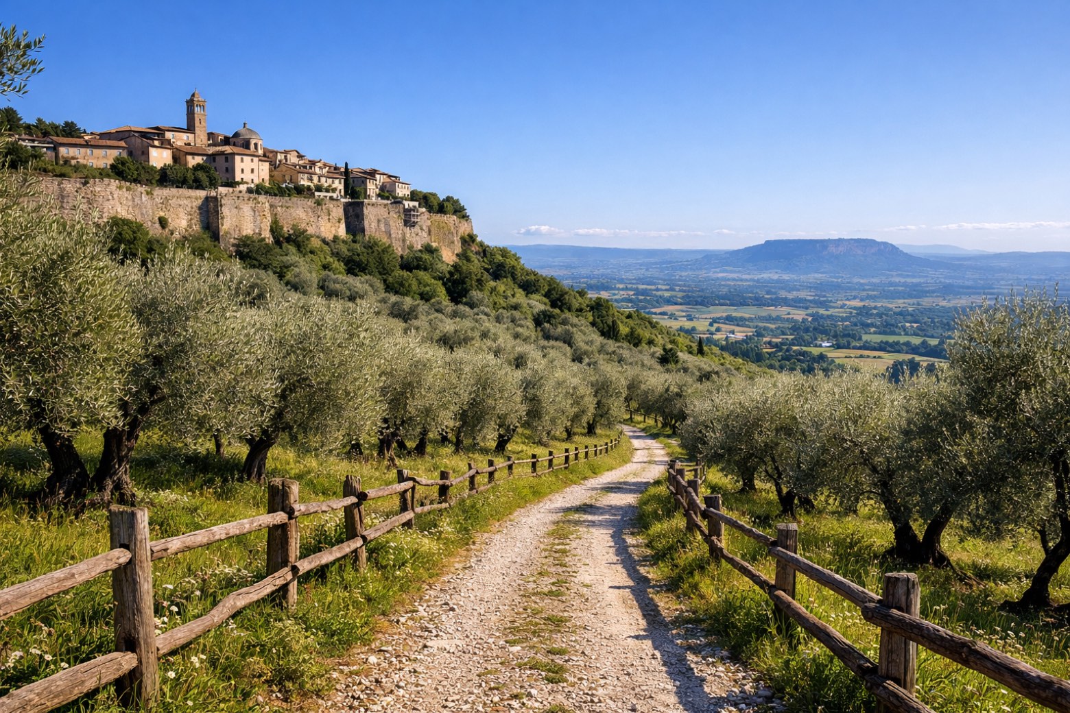 Stage 1
Amelia → Sambucetole
moderateDistance12 kmAscent391 mDescent380 m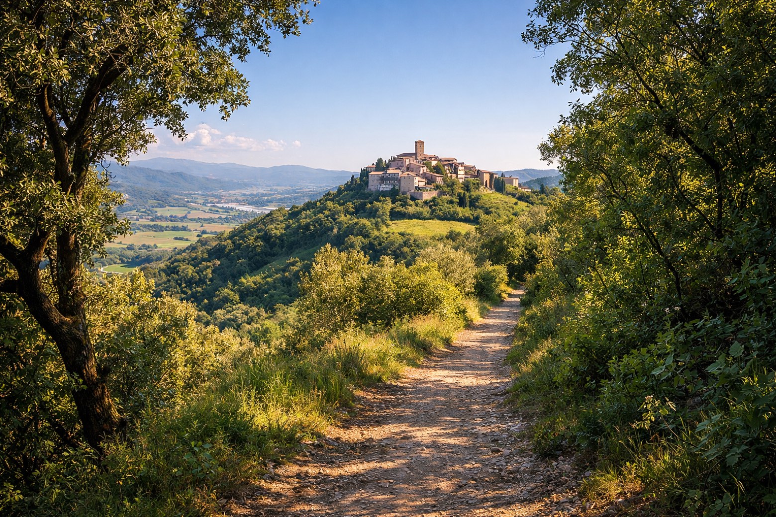 Stage 2
Sambucetole → Collicello
moderateDistance5 kmAscent347 mDescent284 m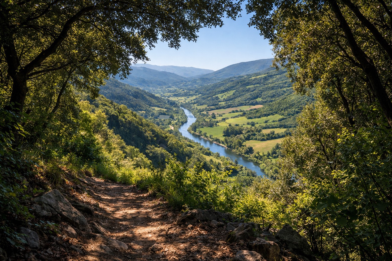 Stage 3
Collicello → Macchie
moderateDistance12 kmAscent424 mDescent359 m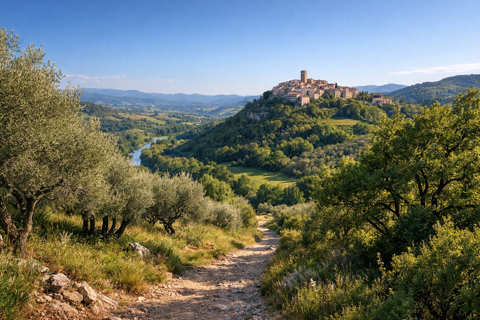 Stage 4Distance9 kmAscent286 mDescent342 m
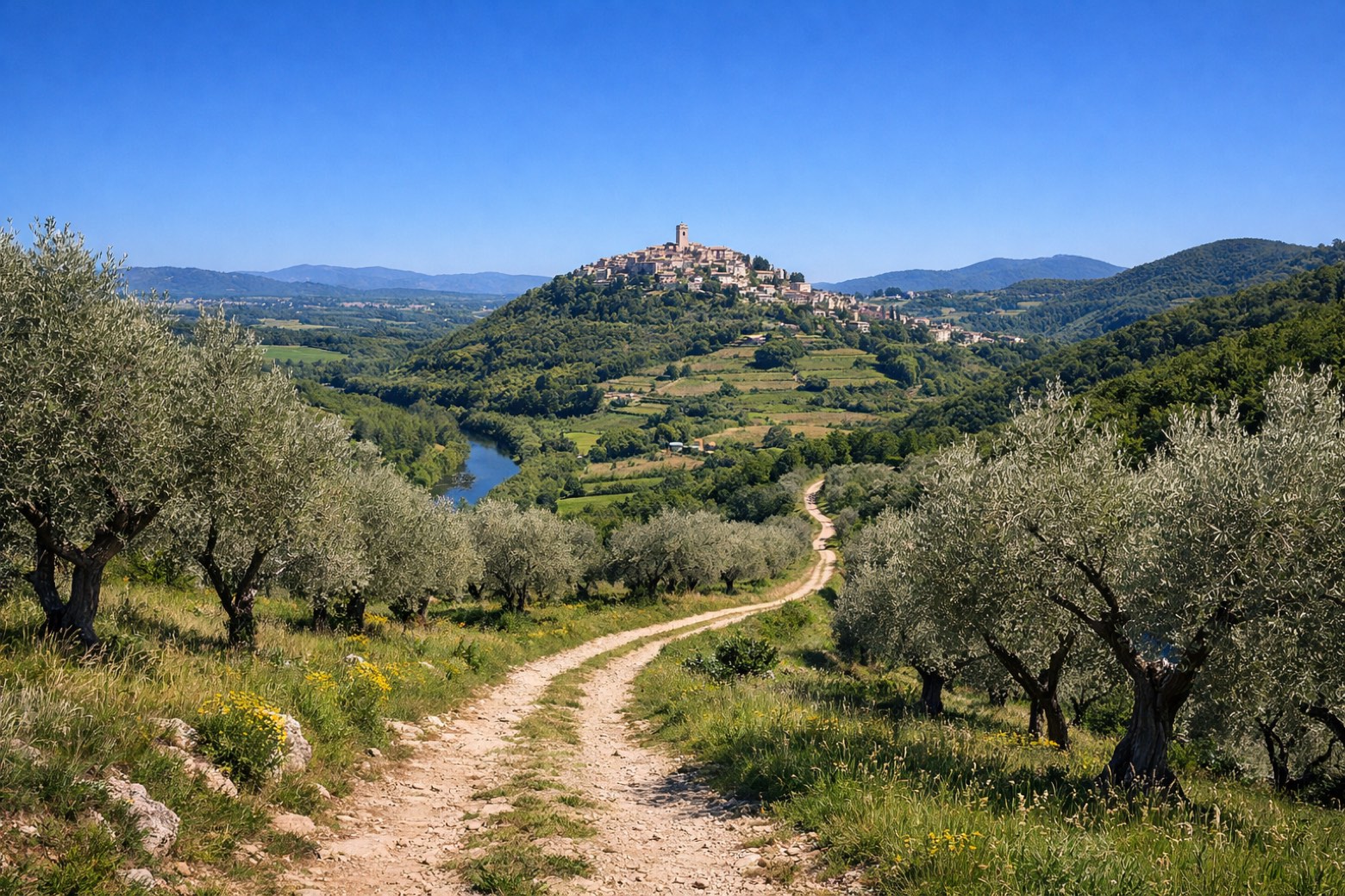 Stage 5Distance15 kmAscent323 mDescent450 m
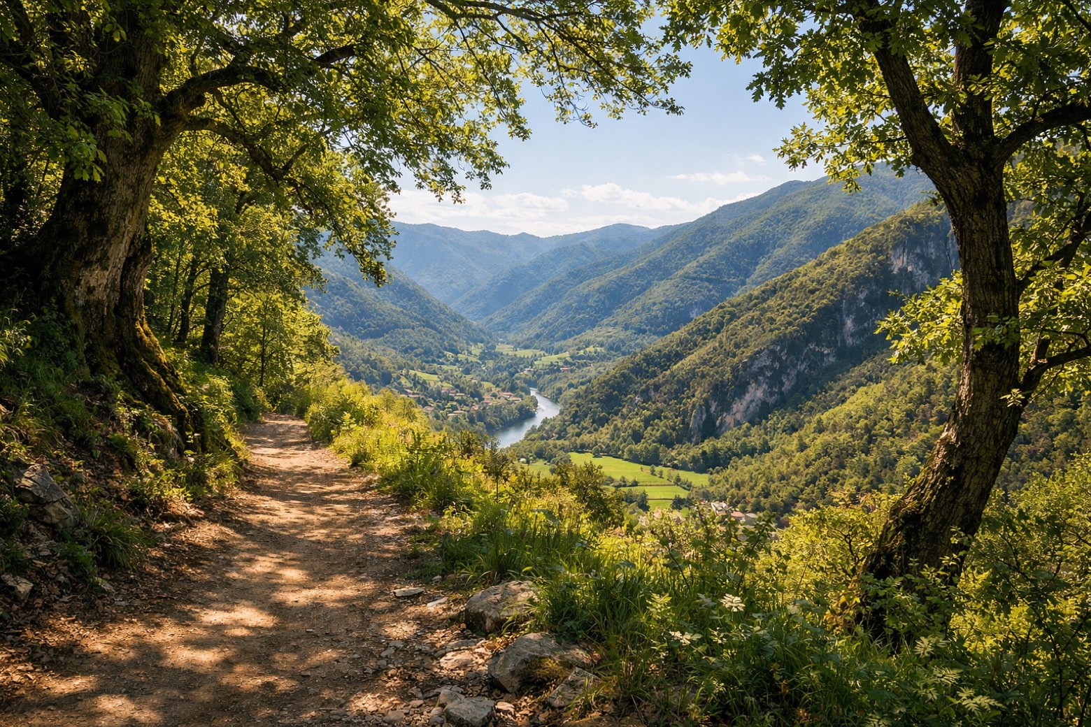 Stage 6Distance7 kmAscent245 mDescent272 m
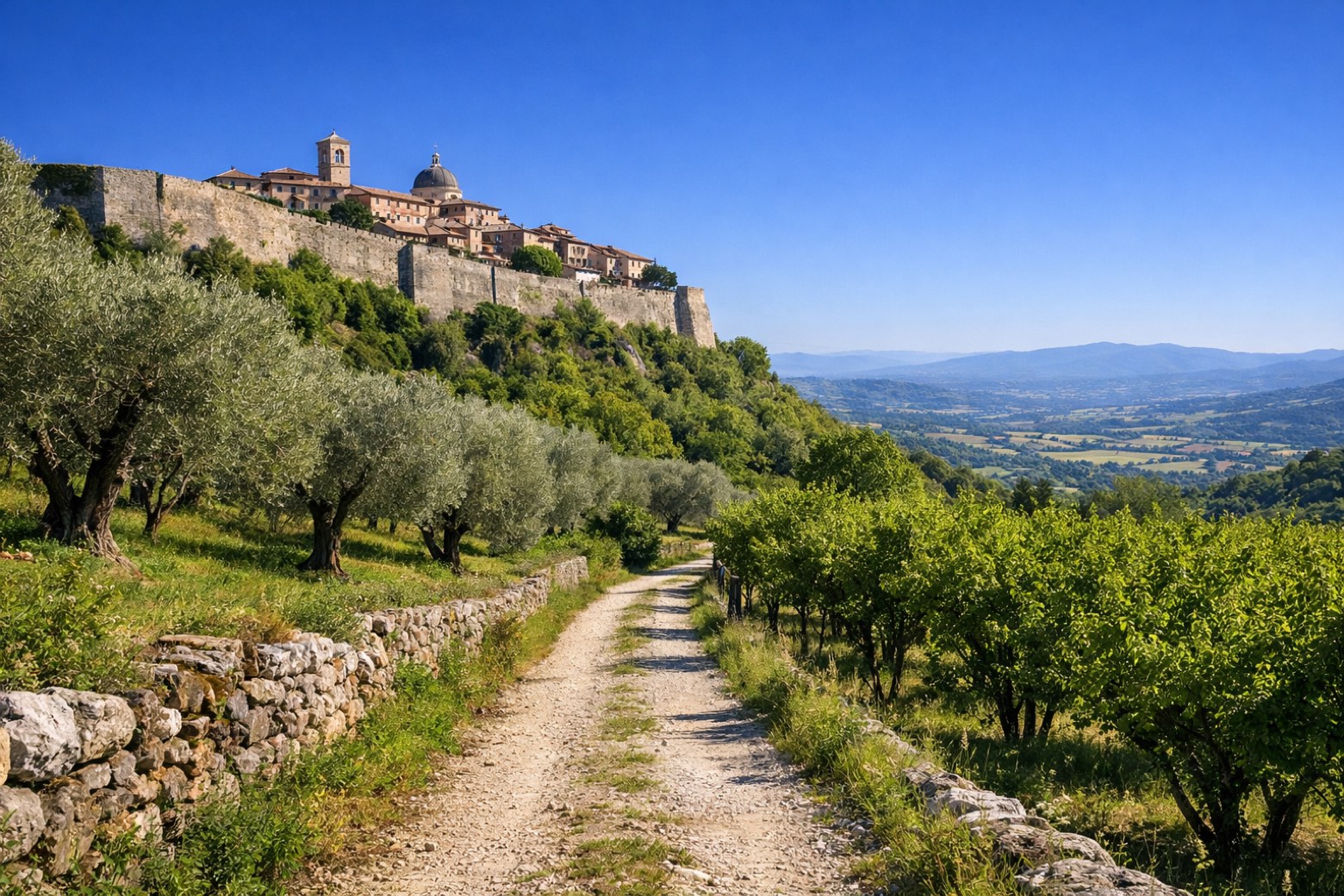 Stage 7
Fornole → Foce
easyDistance5 kmAscent244 mDescent121 m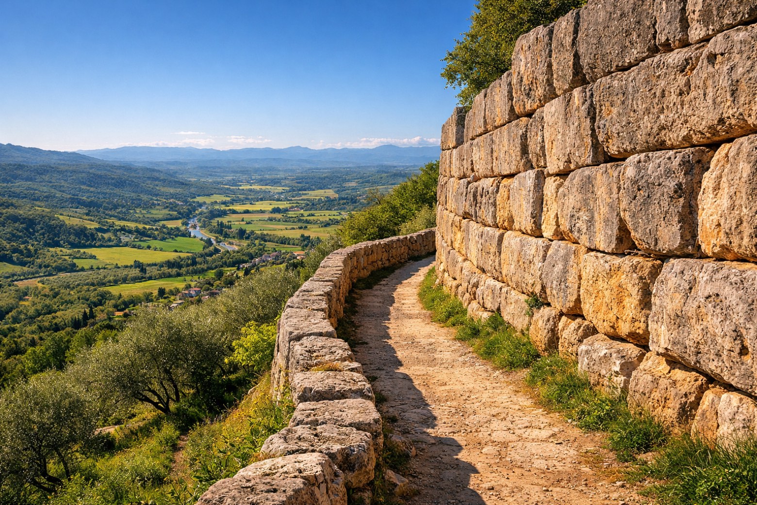 Stage 8
Foce → Amelia
easyDistance8 kmAscent279 mDescent401 m
Points of interest
- Monastero di San Magno
- Castello di Montecampano
Castello di Montecampano. Castle, in Amelia, Italy, designated as Italian national heritage.
- Castello di Collicello
Castello di Collicello. Castle, in Amelia, Italy, designated as Italian national heritage.
- Monte Arnata
- Monte Pian di Nappa
- Palazzo Farrattini
Palazzo Farrattini. Palace, designed by Antonio da Sangallo the Younger, in Amelia, Italy, designated as Italian national heritage.
- Museo Scuderia Traguardo
Museo Scuderia Traguardo. Museum, in Amelia, Italy.
- Porta Romana
Travel
Find connections for your cammino.
Search trainsMore walks in Italy
Plan your walking trip
How to choose a walking route: stages, days and ascent
Choose a walking route by comparing daily stages, available days, ascent and transport links. Practical planning with examples from the Appy catalogue.
How to plan a walking trip by train and bus
Plan travel to and from your walk: stage endpoints, stations, stops and the connection to the trail. A practical guide to routes and transport with Appy.
Take your walk with you: download Appy
Cammino di Germanico. Explore maps, stages and elevation in the app, and plan your train or bus journey.