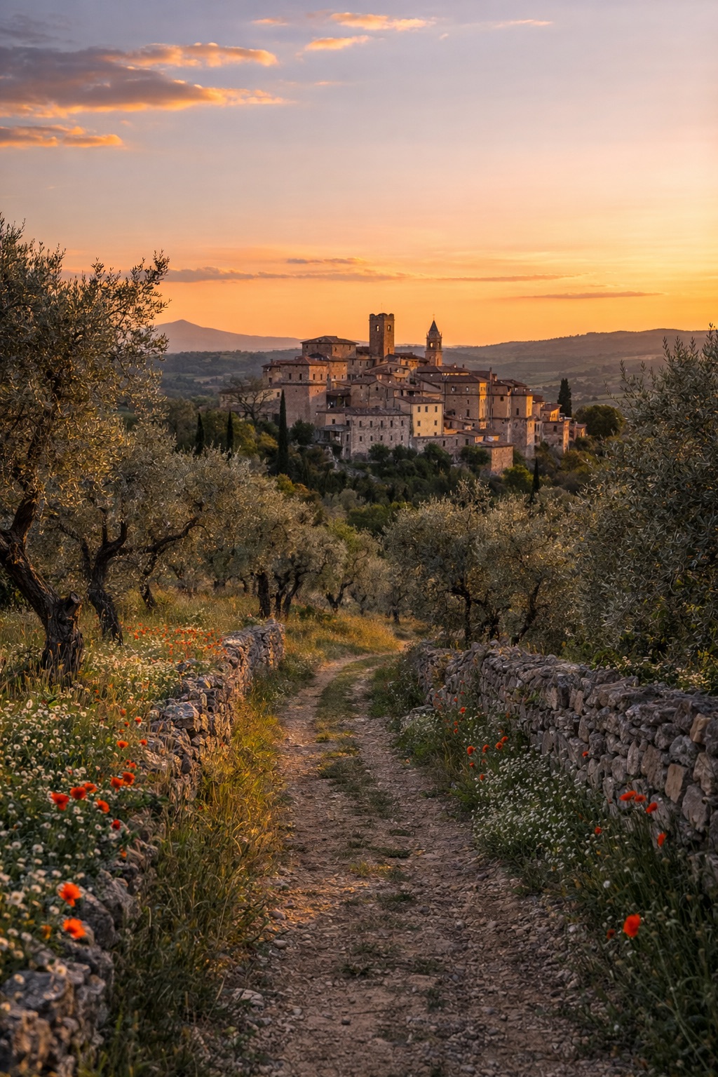
Cammino dei Borghi Silenti
Umbria, Italy
Italy · Montecchio, Italy → Montecchio, Italy
Distance
107 km
Stages
5
Difficulty
moderate
Best months
Apr-Jun, Sep-Oct
About
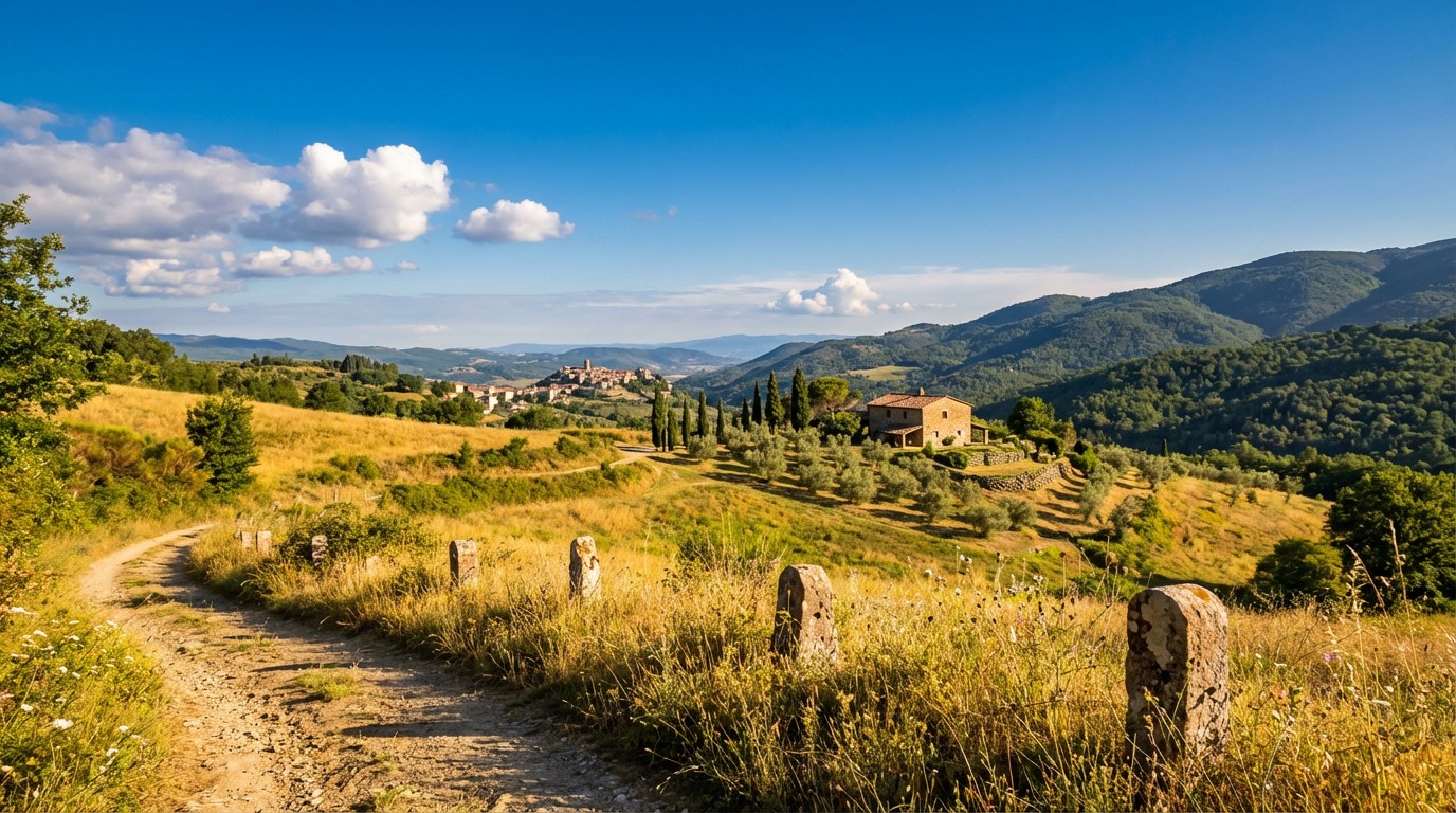
A 110 km loop through history, the Cammino dei Borghi Silenti winds through the southern Monti Amerini, connecting charming villages like Monastero and Guardea. With 2,874 m of elevation gain, it’s a gentle challenge for beginners, marked by yellow signs that lead you through olive groves and vineyards.
Ancient churches whisper tales of medieval life, while the air carries the scent of wild herbs. Ideal in spring or autumn, this route invites you to stroll at your own pace, savoring the quiet beauty of Italy's cultural .
Stages
5 stages
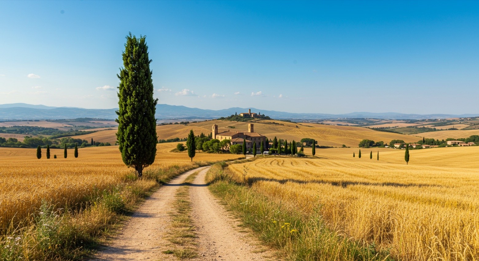 Stage 1
Montecchio → Montecchio
moderateDistance30 kmAscent836 mDescent581 m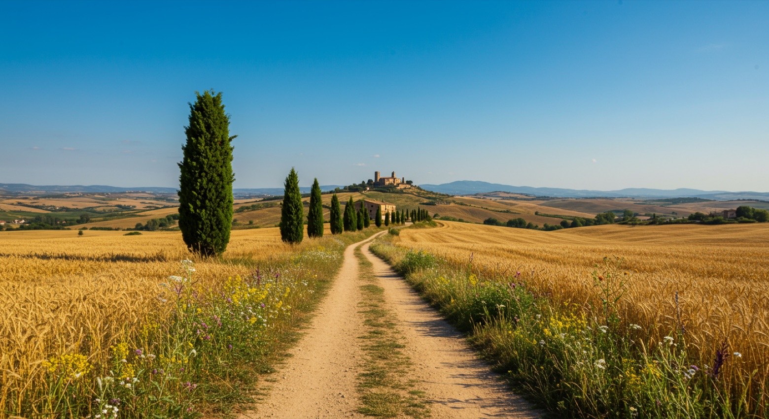 Stage 2
Montecchio → Baschi
moderateDistance21 kmAscent743 mDescent822 m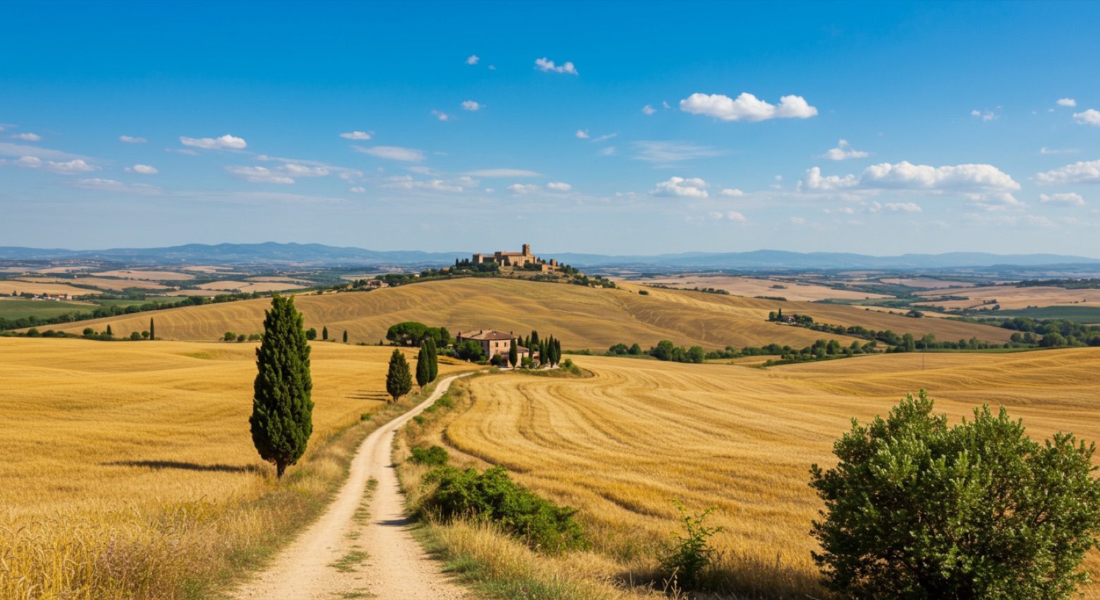 Stage 3
Baschi → Civitella del Lago
moderateDistance22 kmAscent617 mDescent667 m Stage 4
Civitella del Lago → Baschi
moderateDistance17 kmAscent192 mDescent486 m Stage 5
Baschi → Montecchio
moderateDistance18 kmAscent486 mDescent320 m
Points of interest
- Madonna della Pasquarella
- Castello di Poggio
Castello di Poggio. Castle, in Guardea, Italy, designated as Italian national heritage.
- Carnano
Castle. A proper landmark — great for photos and a bit of history.
- Castello di Carnano
Castello di Carnano. Castle, in Montecchio, Italy, designated as Italian national heritage.
- Monte Croce di Serra
Monte Croce di Serra. Natural landmark, in Umbria, Italy, at 997 m elevation.
- Torre Errighi
Torre Errighi. Castle, in Montecchio, Italy, designated as Italian national heritage.
- Monte Castellaro
- Monte Bello
Travel
Find connections for your cammino.
Search trainsMore walks in Italy
Plan your walking trip
How to choose a walking route: stages, days and ascent
Choose a walking route by comparing daily stages, available days, ascent and transport links. Practical planning with examples from the Appy catalogue.
How to plan a walking trip by train and bus
Plan travel to and from your walk: stage endpoints, stations, stops and the connection to the trail. A practical guide to routes and transport with Appy.
Take your walk with you: download Appy
Cammino dei Borghi Silenti. Explore maps, stages and elevation in the app, and plan your train or bus journey.