Sambucetole → Collicello
Walking distance 5.3 km
Download Appy for the stage map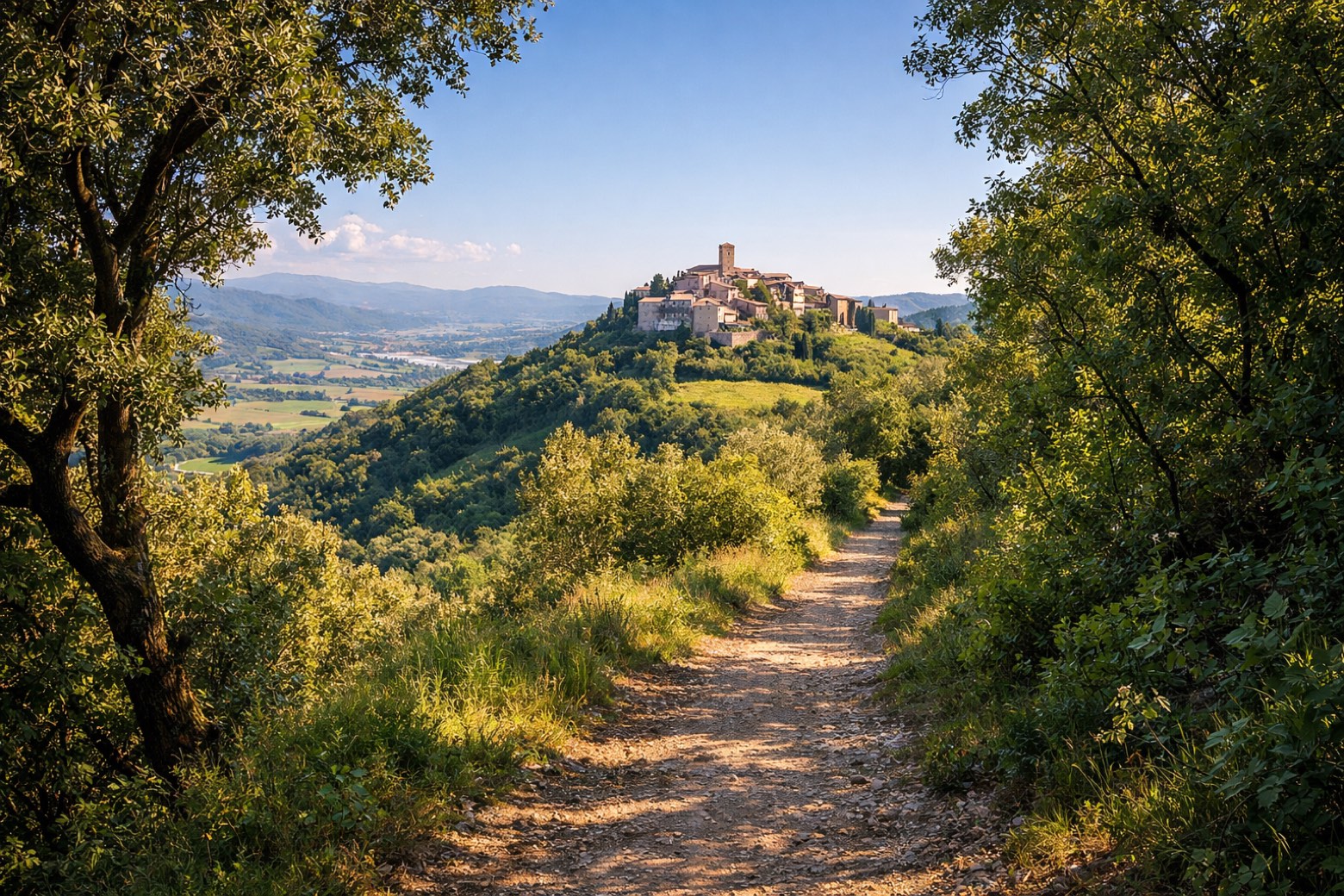
Stage information
- Ascent
- 347 m
- Descent
- 284 m
Difficulty: moderate
Walking the stage
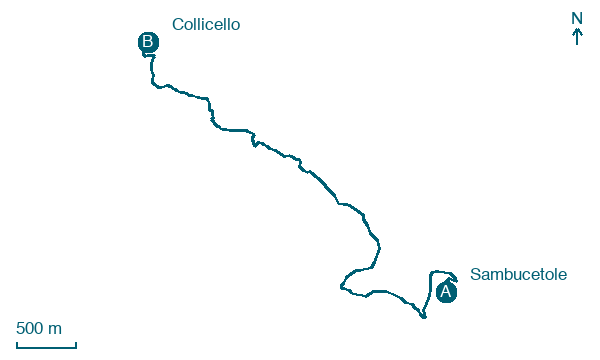
Follow a 5 km stage from Sambucetole to Collicello, with 347 m of climbing on the way over the whole stage.
Before leaving Sambucetole, locate San Matteo on the map. It is close to the starting point. On arrival in Collicello, consider a stop at Castello di Collicello, close to the finish.
What to see on this stage
History and landmarks
Castello di Collicello
Castle · 100 m from the trail as the crow flies
One of three fortified villages Amelia founded in the thirteenth and fourteenth centuries, with Frattuccia and Sambucetole, to guard its lands. For over a century and a half it stayed a centre of raids, mostly by Todi.
San Matteo
Church · < 100 m from the trail as the crow flies
Map · Sambucetole → Collicello
Take your walk with you: download Appy
Cammino di Germanico: Sambucetole → Collicello. Explore maps, stages and elevation in the app, and plan your train or bus journey.

