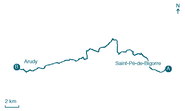
Saint-Pé-de-Bigorre → Arudy
Walking distance 32.6 km
Download Appy for the stage map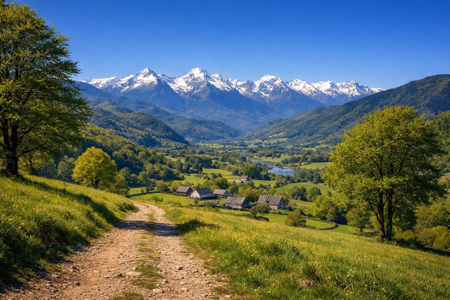
Stage information
- Ascent
- 1095 m
- Descent
- 1036 m
Difficulty: challenging
Walking the stage
A long mountain stage traversing the Pyrenean foothills from Saint-Pé-de-Bigorre through Louvie-Juzon to the market town of Arudy, with sweeping views of the high peaks.
Before leaving Saint-Pé-de-Bigorre, locate Abbaye de Saint-Pé-de-Bigorre on the map. It is close to the starting point.
Look for these places on the stage map: Camp de Seissillou, Monrepos, Mifaget, and Sainte-Colome.
What to see on this stage
History and landmarks
Abbaye de Saint-Pé-de-Bigorre
Abbey · < 100 m from the trail as the crow flies
Musée du Patrimoine des Pères de Bétharram
Museum · < 100 m from the trail as the crow flies
Nature and landscape
Grotte du Poeymaü
1.9 km from the trail as the crow flies
Lestellette
Summit · < 100 m from the trail as the crow flies
Map · Saint-Pé-de-Bigorre → Arudy
Take your walk with you: download Appy
Camino de Lourdes: Saint-Pé-de-Bigorre → Arudy. Explore maps, stages and elevation in the app, and plan your train or bus journey.

