Camino de Invierno
León & Galicia, Spain, Spain
Spain · Ponferrada, Spain → Lalín, Spain
Distance
208 km
Stages
7
Difficulty
moderate
Best months
Apr-Jun, Sep-Oct
About
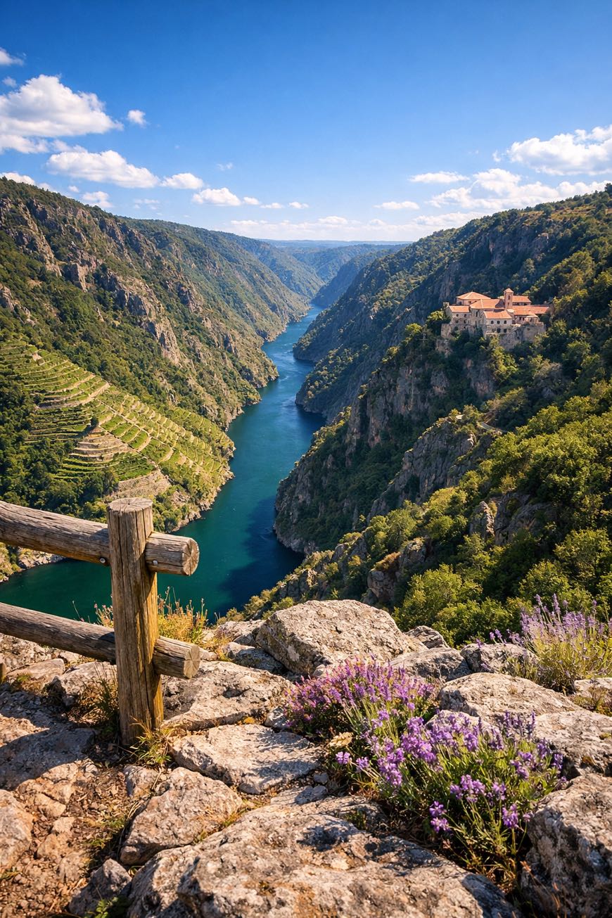
A 210 km spiritual walk through Galicia's soul. The Camino de Invierno winds from Ponferrada to Lalín, a route forged when snow cloaked the high passes.
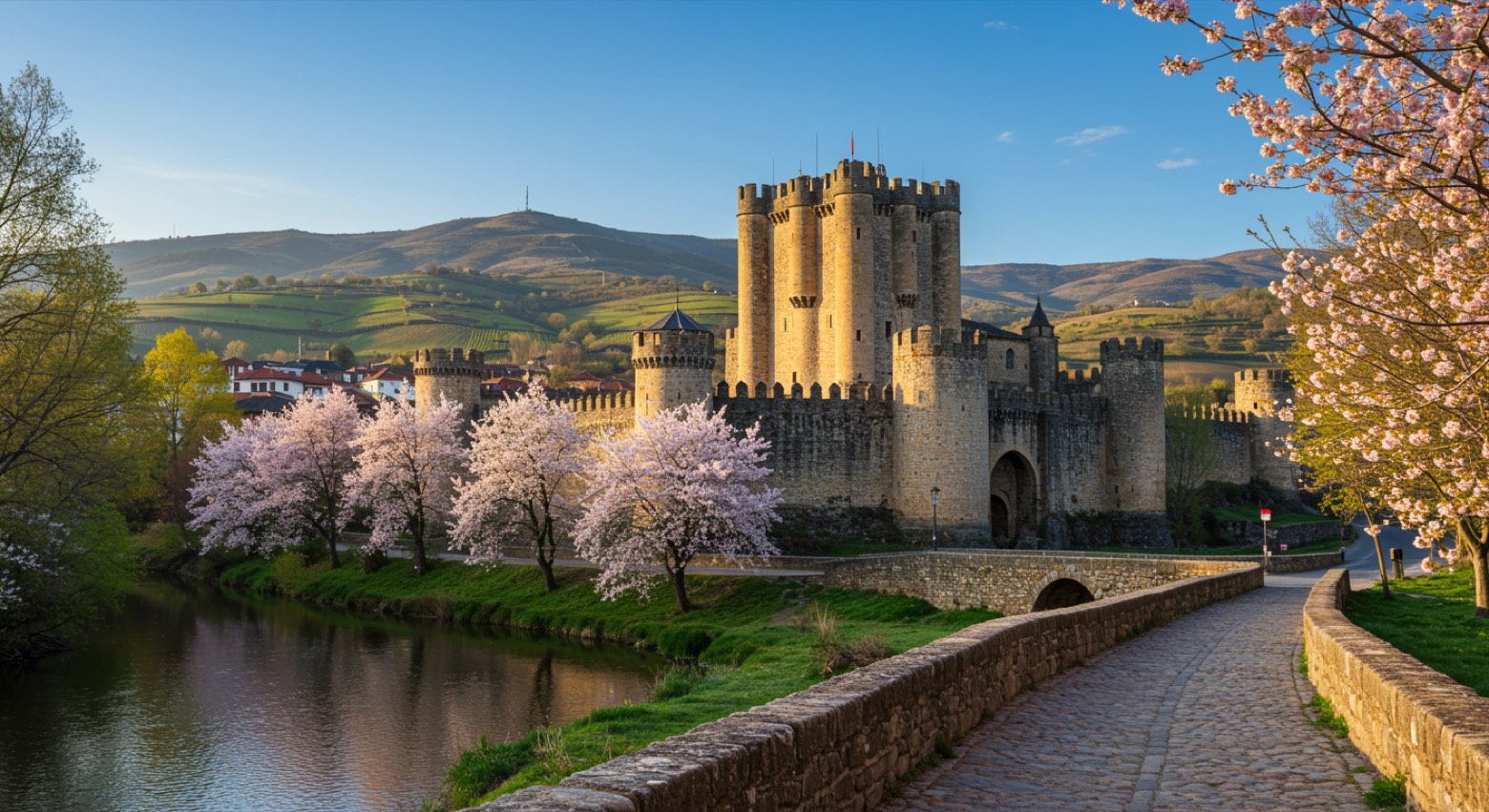
The Templar Castle stands sentinel, while the whisper of ancient Roman gold mines at Las Médulas tells tales of ambition. Seven stages, 3,914 meters of elevation gain, this is no casual stroll.
The Sil River canyon hums with the rustle of terraced vines, and rural villages reveal traditions in time. Here, seekers chase not just a destination, but the very essence of Galicia itself.
Stages
7 stages
 Stage 1
Ponferrada → San Pedro de Trones
moderateDistance32 kmAscent587 mDescent667 m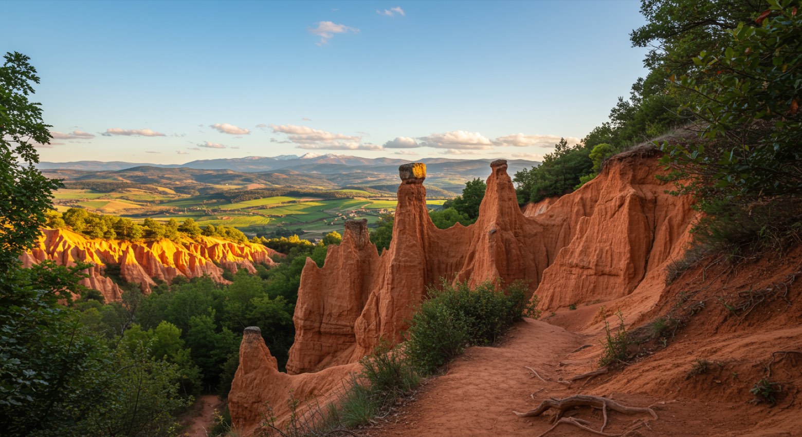 Stage 2
San Pedro de Trones → A Rúa
moderateDistance30 kmAscent381 mDescent495 m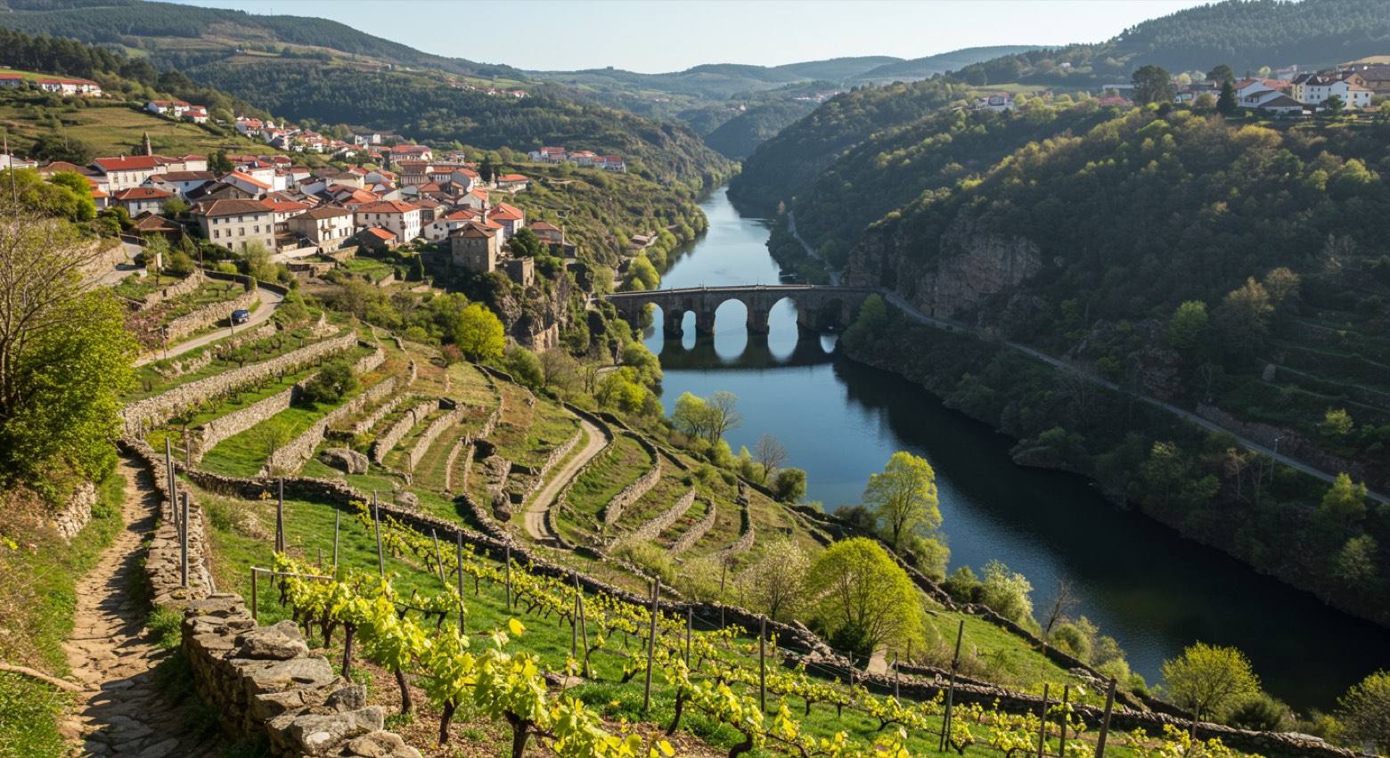 Stage 3
A Rúa → Quiroga
moderateDistance28 kmAscent638 mDescent681 m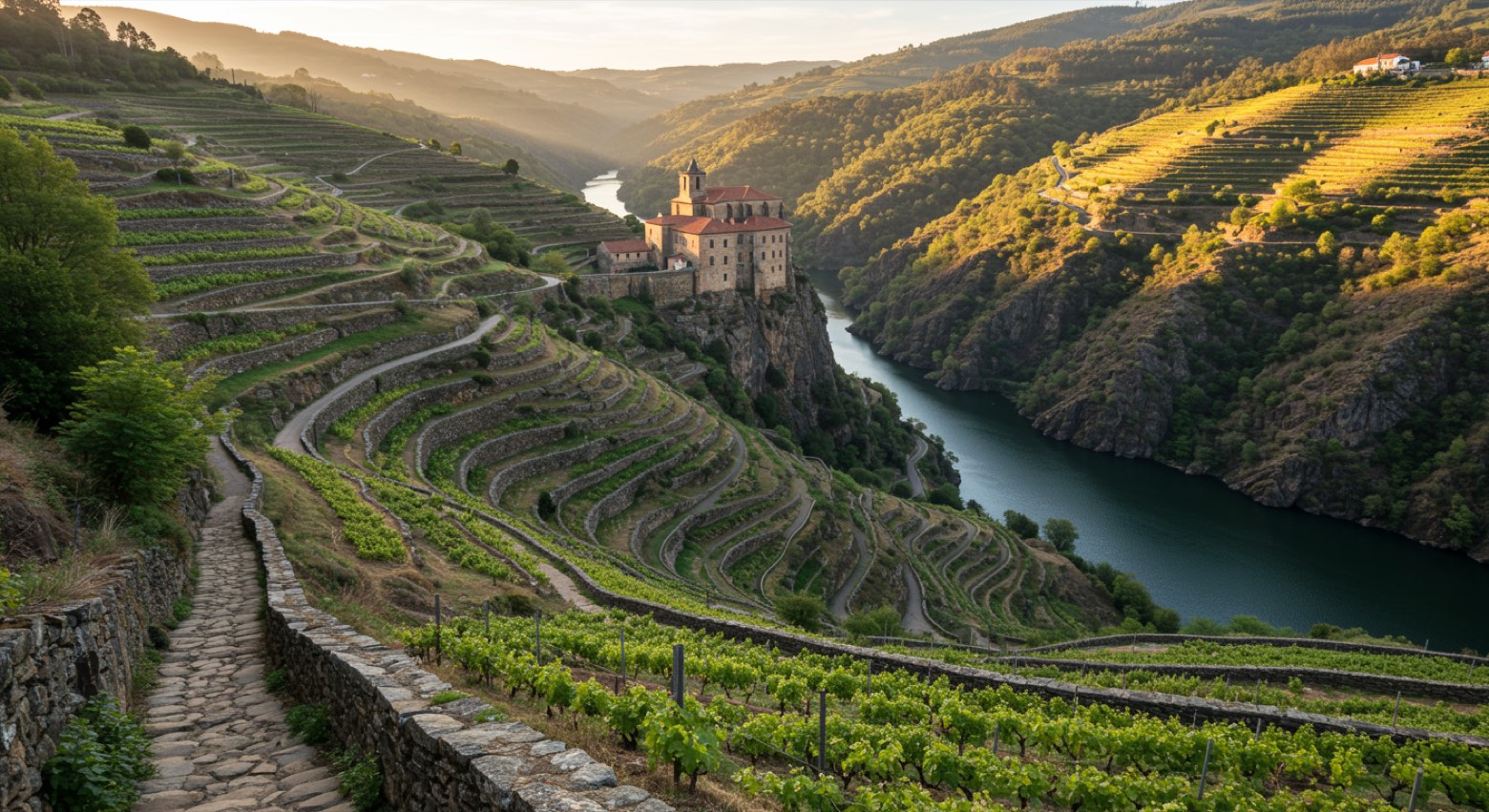 Stage 4
Quiroga → Monforte de Lemos
challengingDistance35 kmAscent723 mDescent681 m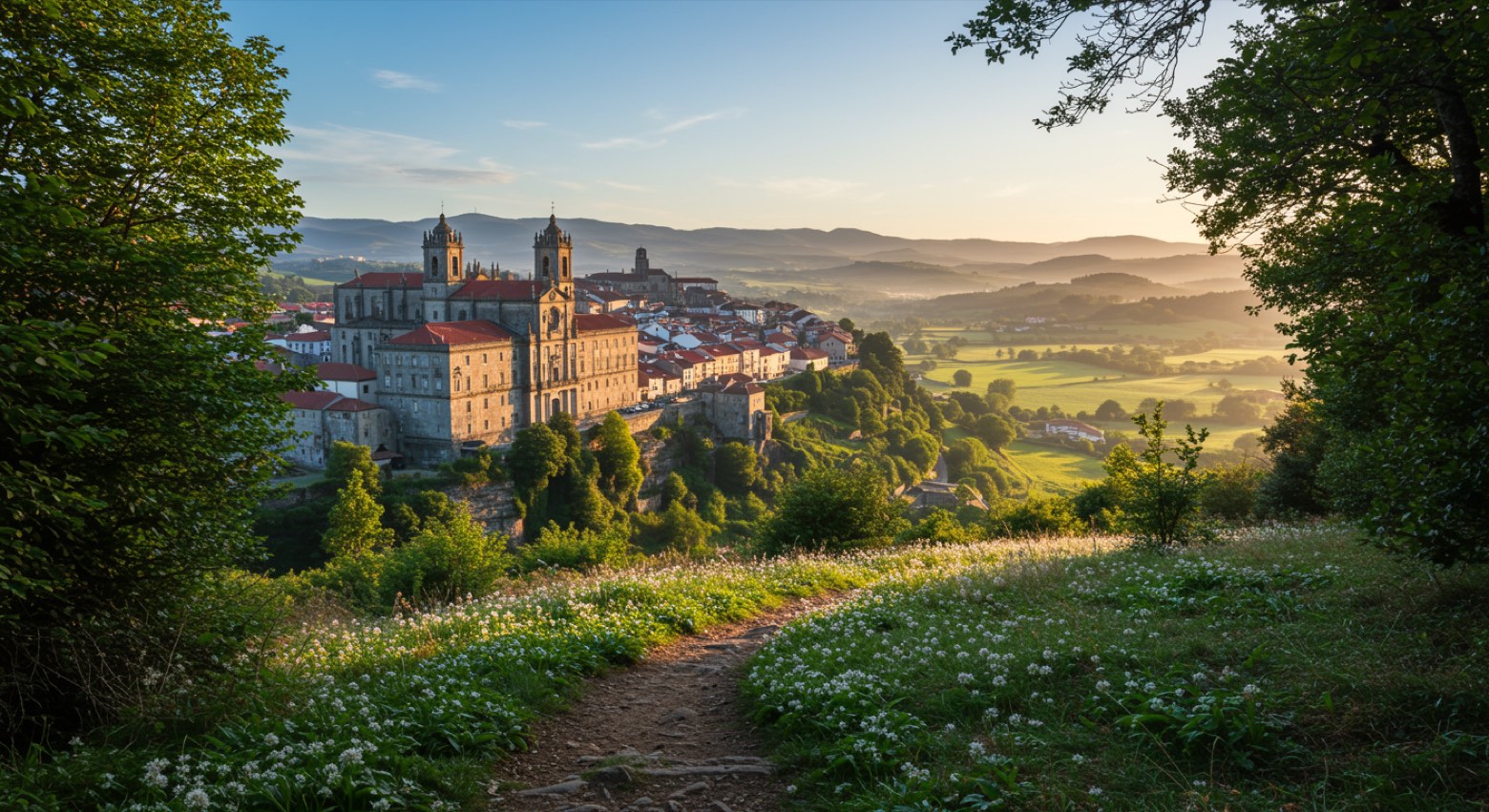 Stage 5
Monforte de Lemos → Chantada
moderateDistance31 kmAscent666 mDescent475 m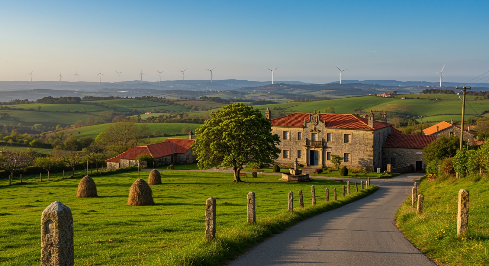 Stage 6
Chantada → Rodeiro
moderateDistance25 kmAscent701 mDescent558 m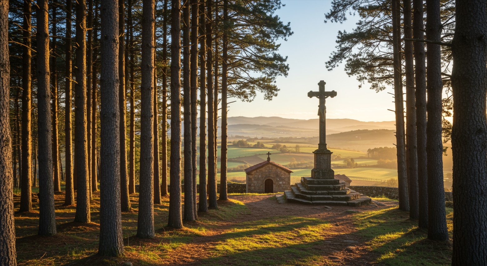 Stage 7
Rodeiro → Lalín
moderateDistance27 kmAscent218 mDescent354 m
Points of interest
- Monastery of San Salvador de Asma
Monastery of San Salvador de Asma. Monastery in Romanesque style, in Q20542874, Spain.
- Ponferrada Castle
Ponferrada Castle. 12th-century castle, in Ponferrada, Spain, designated as bien de interés cultural, covering 1.0 km².
- Museo Xeolóxico de Quiroga
- Castelo de Monforte de Lemos
- Salas de la Ribera
- Santo Tomás de las Ollas
Santo Tomás de las Ollas. Historic village, in Ponferrada, Spain, at 599 m elevation.
- La Martina
La Martina. Historic village, in León Province, Spain, at 490 m elevation.
- Campo
Campo. Historic village, in Ponferrada, Spain, designated as part of UNESCO World Heritage Site, at 562 m elevation.
Travel
Find connections for your cammino.
Search trainsMore walks in Spain
Plan your walking trip
How to choose a walking route: stages, days and ascent
Choose a walking route by comparing daily stages, available days, ascent and transport links. Practical planning with examples from the Appy catalogue.
How to plan a walking trip by train and bus
Plan travel to and from your walk: stage endpoints, stations, stops and the connection to the trail. A practical guide to routes and transport with Appy.
Take your walk with you: download Appy
Camino de Invierno. Explore maps, stages and elevation in the app, and plan your train or bus journey.