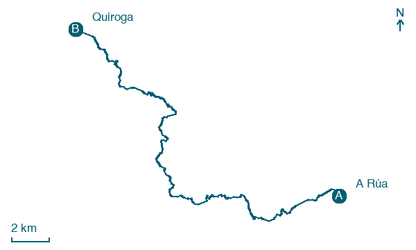
A Rúa → Quiroga
Walking distance 28.4 km
Download Appy for the stage map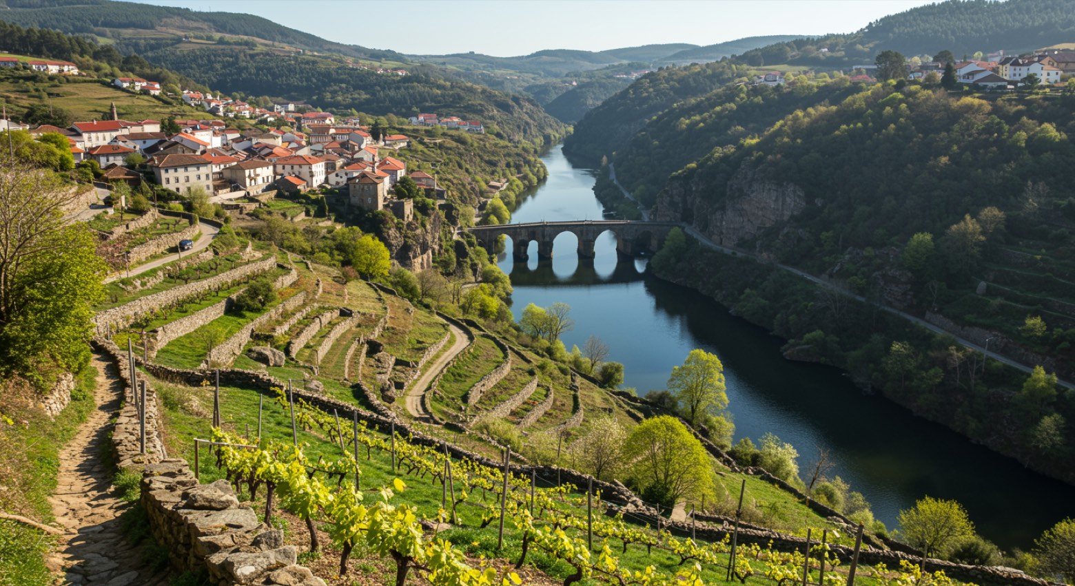
Stage information
- Ascent
- 638 m
- Descent
- 681 m
Difficulty: moderate
Walking the stage
Head from A Rúa to Quiroga over 28 km, climbing 638 m through A Cigurria and San Miguel de Montefurado.
On arrival in Quiroga, consider a stop at Museo Xeolóxico de Quiroga, close to the finish.
Look for these places on the stage map: A Cigurria, San Miguel de Montefurado, Bendilló, and O Castelo.
What to see on this stage
History and landmarks
Bridge of A Cigarrosa
Bridge · 600 m from the trail as the crow flies
Bridge, in A Rúa de Valdeorras, Spain, built in stone.
Museo Xeolóxico de Quiroga
Museum · 200 m from the trail as the crow flies
Nature and landscape
Sequeiros Reservoir
Lake · 600 m from the trail as the crow flies
Pena do Longo
Summit · 200 m from the trail as the crow flies
Map · A Rúa → Quiroga
Take your walk with you: download Appy
Camino de Invierno: A Rúa → Quiroga. Explore maps, stages and elevation in the app, and plan your train or bus journey.

