Camino Aragonés
Aragón & Navarra, Spain, Spain
Spain · Urdos, Spain → Obanos, Spain
Distance
161 km
Stages
6
Difficulty
moderate
Best months
Apr-Jun, Sep-Oct
About
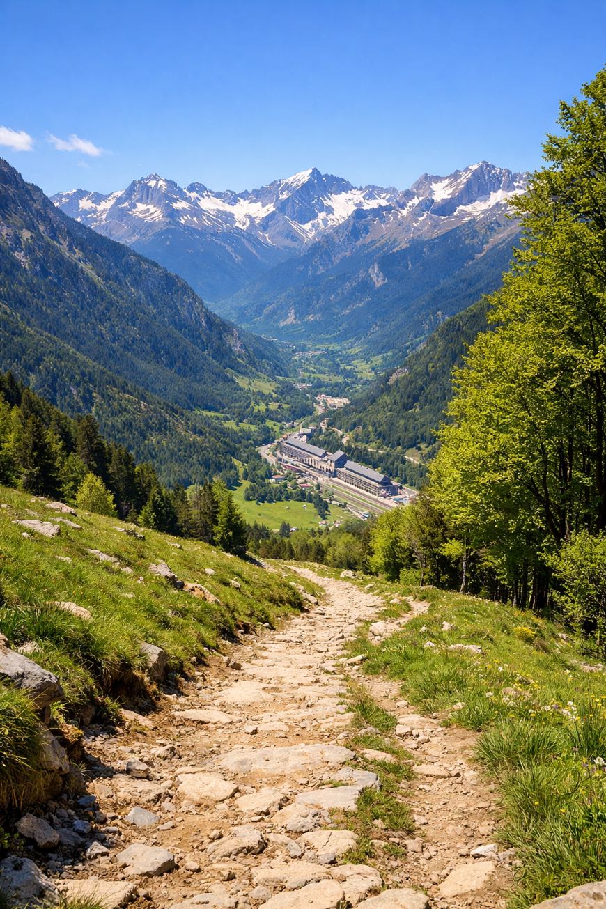
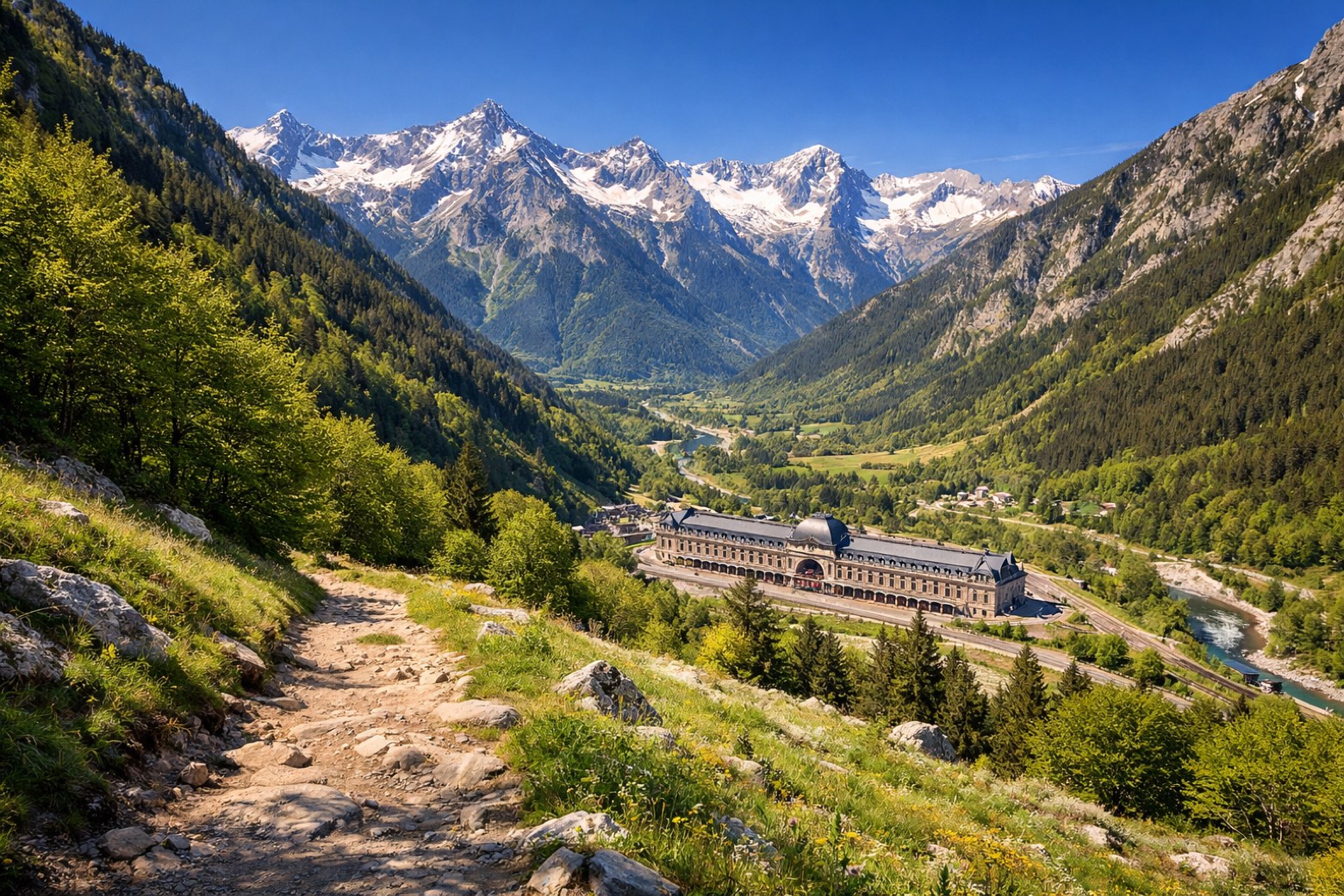
A 160 km thread through the Pyrenees, the Camino Aragonés starts at Urdos and climbs to the Somport Pass (1,632m) before plunging into the eerie silence of the Valle de Canfranc railway station. Jaca’s Romanesque cathedral stands watch, a reminder of centuries gone by.
With a total elevation gain of 2,071m, this route tests your legs and nourishes your spirit. Six stages, each a chapter; every step, a reflection.
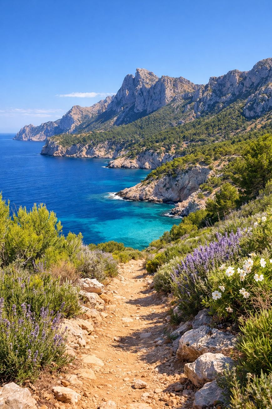
The scent of pine and damp earth envelops you, whispering that this is no ordinary trek, but a journey through both land and self.
Stages
6 stages
 Stage 1
Urdos → Jaca
moderateDistance31 kmAscent134 mDescent937 m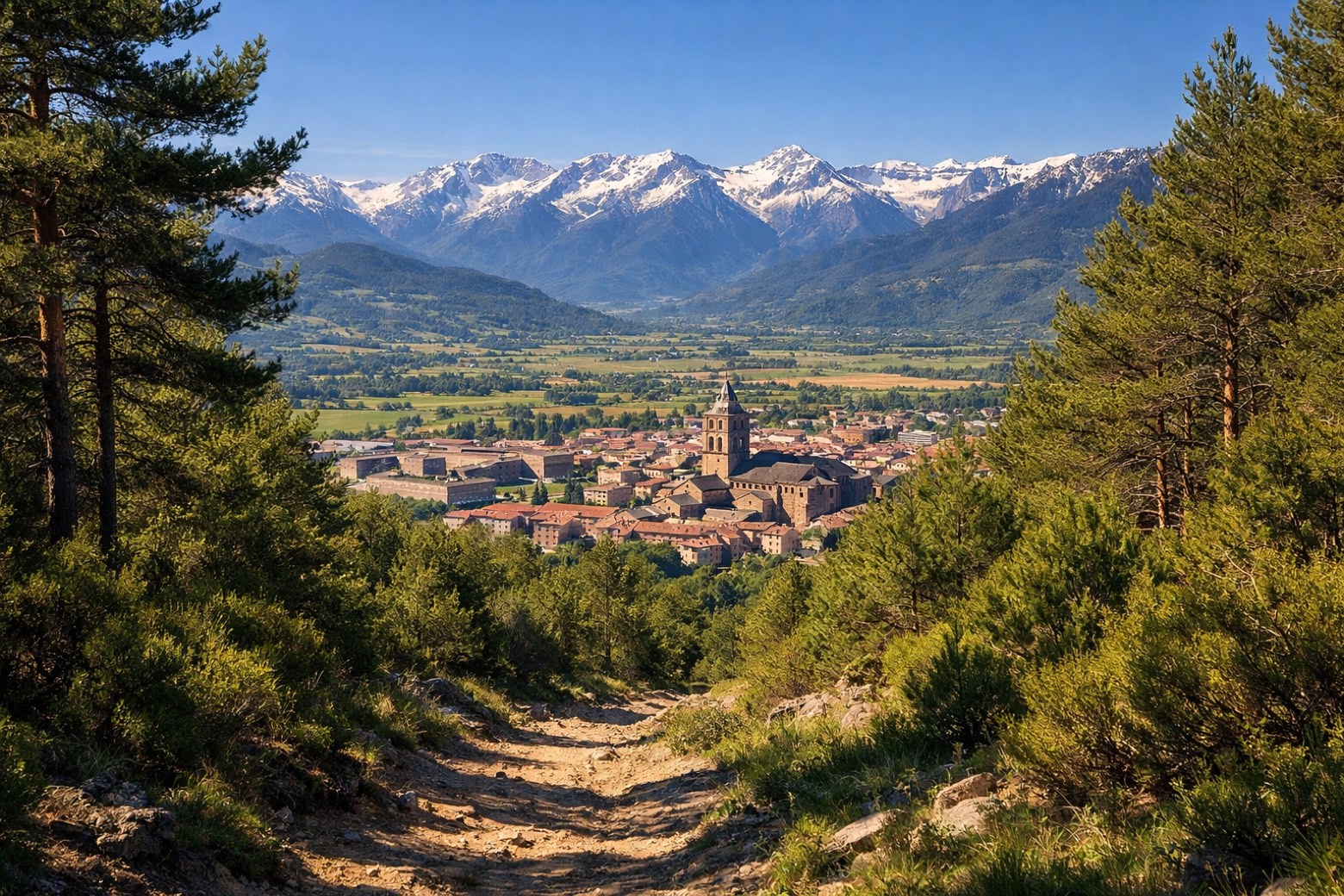 Stage 2
Jaca → Bailo
moderateDistance25 kmAscent281 mDescent386 m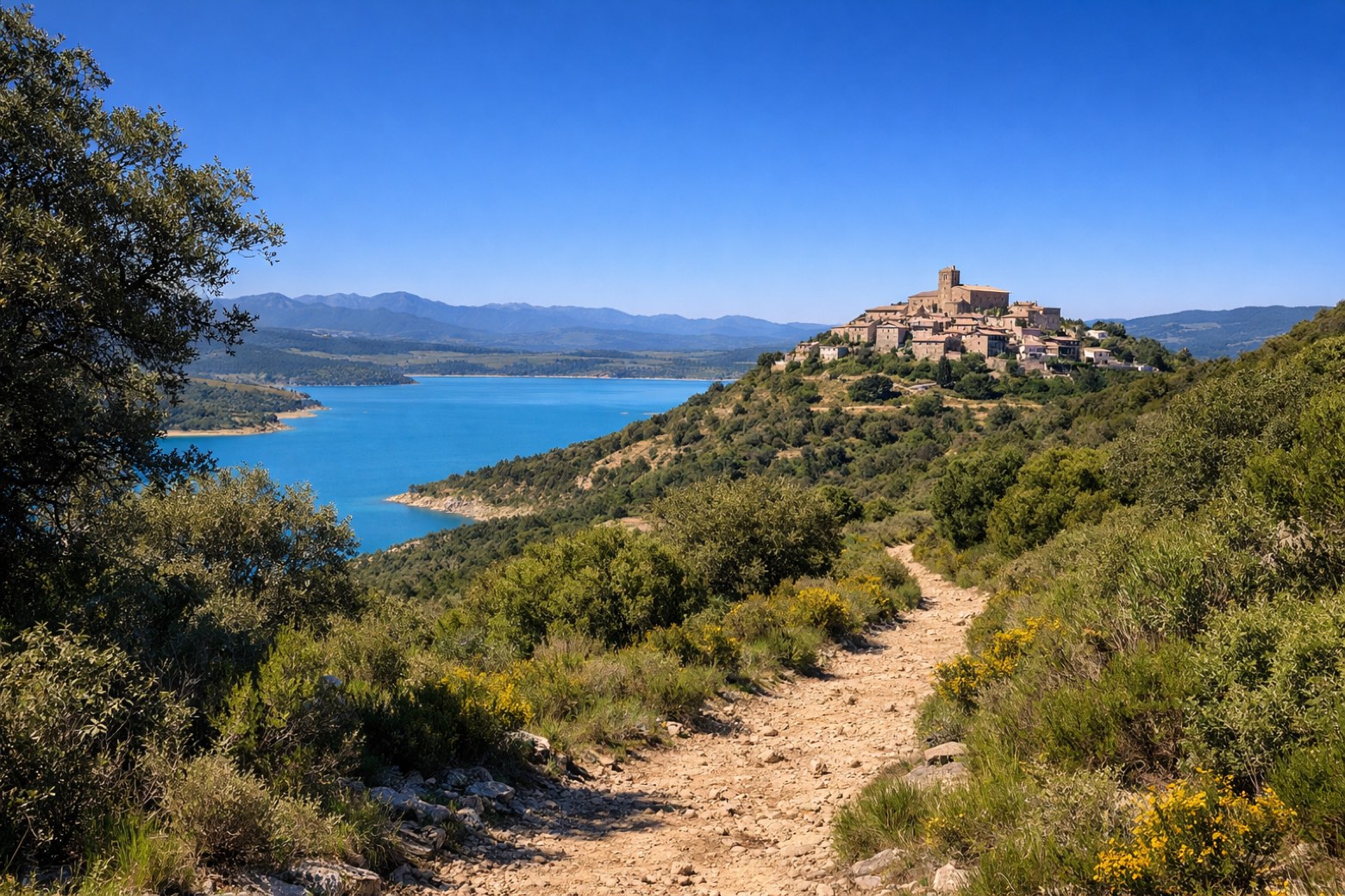 Stage 3
Bailo → Artieda
moderateDistance18 kmAscent289 mDescent346 m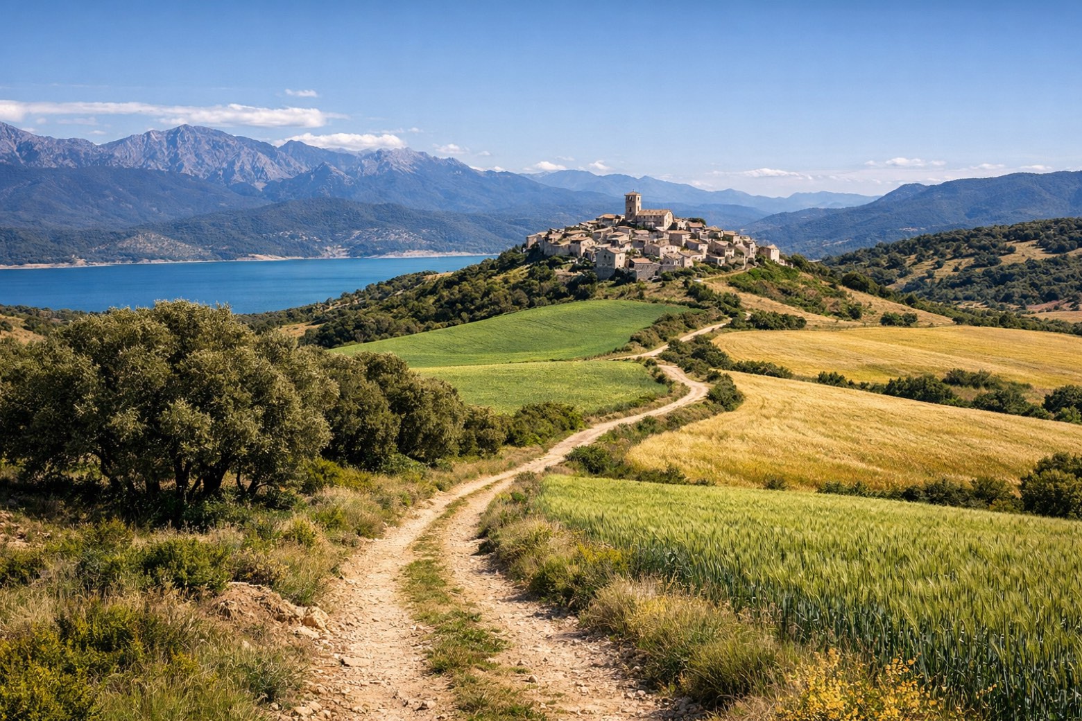 Stage 4
Artieda → Undués de Lerda
moderateDistance22 kmAscent471 mDescent488 m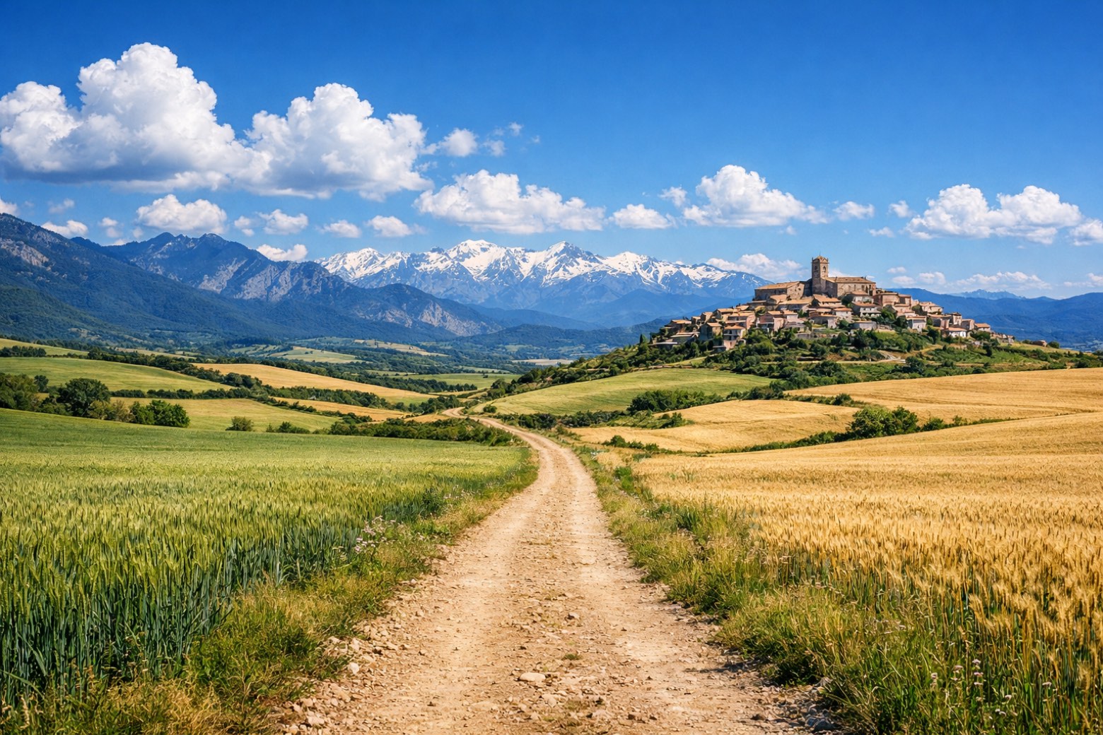 Stage 5
Undués de Lerda → Monreal / Elo
moderateDistance38 kmAscent494 mDescent564 m Stage 6
Monreal / Elo → Obanos
moderateDistance28 kmAscent402 mDescent530 m
Points of interest
- Monasterio de las Benedictinas
Monasterio de las Benedictinas. 16th-century monastery in Renaissance style, in Jaca, Spain, designated as part of UNESCO World Heritage Site.
- Forau de la Tuta
- Castillo de Tiebas
Castillo de Tiebas. Castle, in Tiebas-Muruarte de Reta, Spain, designated as bien de interés cultural.
- Roman villa of Liédena
- Astún
- Casa de los Cubiertos
Casa de los Cubiertos. Palace, in Puente La Reina – Gares, Spain, designated as bien de interés cultural.
- La Raca
- Tobazo
Travel
Find connections for your cammino.
Search trainsMore walks in Spain
Plan your walking trip
How to choose a walking route: stages, days and ascent
Choose a walking route by comparing daily stages, available days, ascent and transport links. Practical planning with examples from the Appy catalogue.
How to plan a walking trip by train and bus
Plan travel to and from your walk: stage endpoints, stations, stops and the connection to the trail. A practical guide to routes and transport with Appy.
Take your walk with you: download Appy
Camino Aragonés. Explore maps, stages and elevation in the app, and plan your train or bus journey.