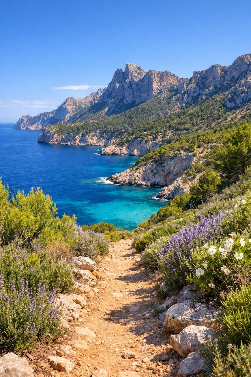
GR221 Serra de Tramuntana (Mallorca)
Islas Baleares, Spain
Spain · Port d'Andratx, Spain → Port de Pollença, Spain
Distance
158 km
Stages
9
Difficulty
moderate
Best months
Apr-Jun, Sep-Oct
GR221 Serra de Tramuntana (Mallorca) · Stages and distances
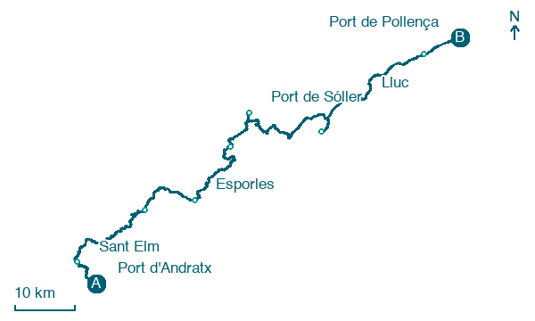
Walking distances for Appy’s stages (9)
| Stage | km |
|---|---|
| 1. Port d'Andratx → Sant Elm | 9.2 |
| 2. Sant Elm → Estellencs | 26.5 |
| 3. Estellencs → Esporles | 21.5 |
| 4. Esporles → Deià | 23.9 |
| 5. Deià → Port de Sóller | 9.7 |
| 6. Port de Sóller → Escorca | 27.5 |
| 7. Escorca → Lluc | 15.5 |
| 8. Lluc → Pollença | 17.6 |
| 9. Pollença → Port de Pollença | 6.7 |
| Total | 158.1 |
About
A 160 km traverse through Mallorca’s wild heart. Nine stages of rocky paths, terraced fields, and Mediterranean vistas.
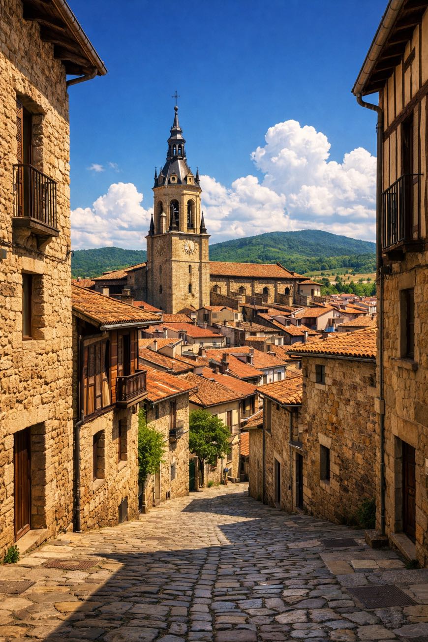
The GR221 Serra de Tramuntana starts at Port d'Andratx, where the scent of saltwater mingles with pine. It winds through ancient villages like Soller and Deia, each step echoing centuries of trade and tradition.
Elevation gains of 5,120 m reward the effort, the highest point, 1,430 m, offers views. A UNESCO World Heritage site, it’s not just a hike; it’s a journey through history and nature, culminating at Port de Pollença.
Stages
9 stages
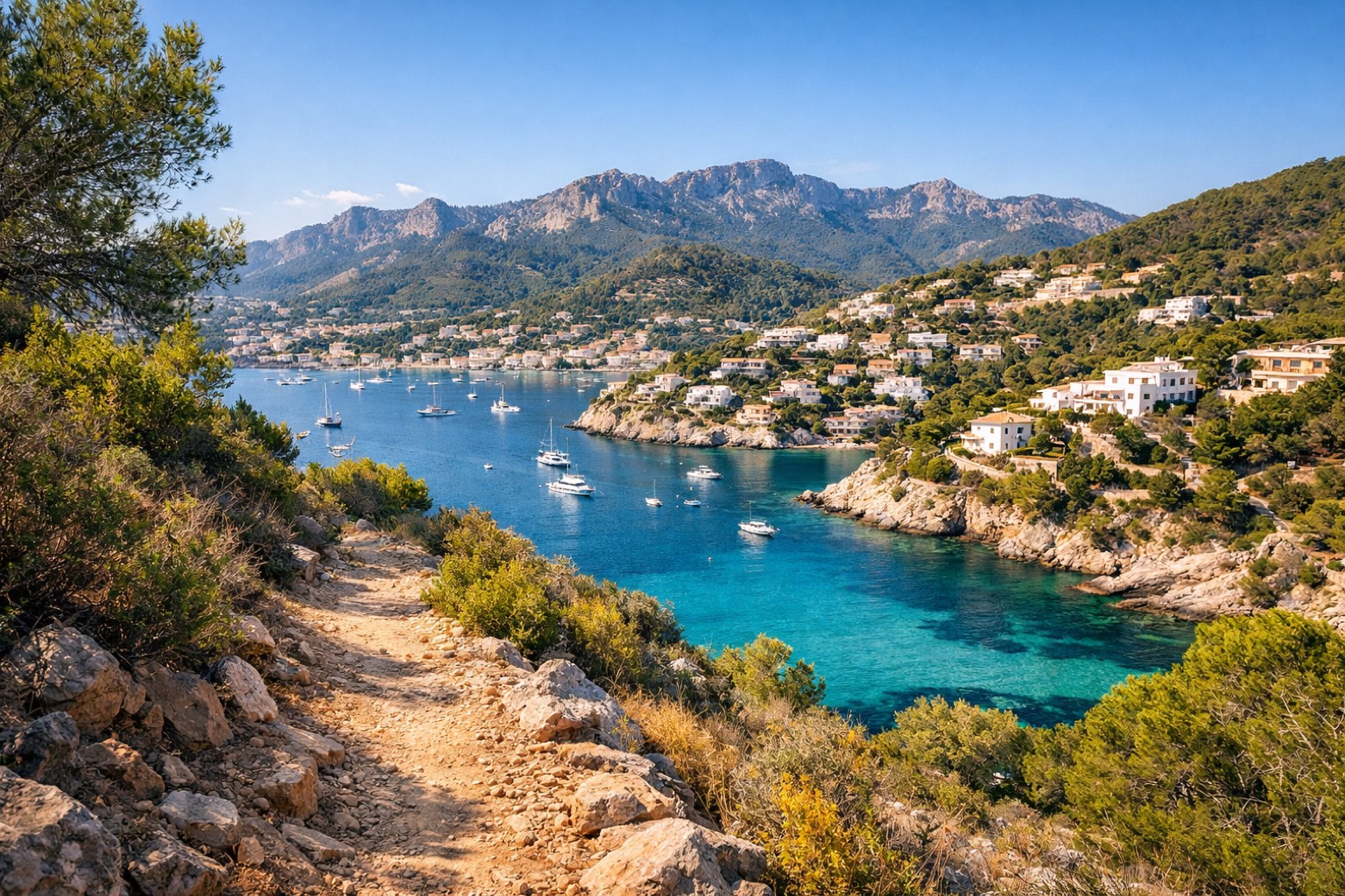 Stage 1
Port d'Andratx → Sant Elm
moderate- Distance
- 9 km
- Ascent
- 416 m
- Descent
- 395 m
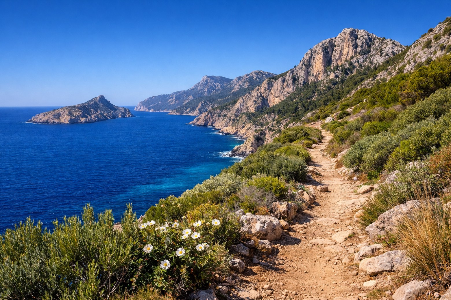 Stage 2
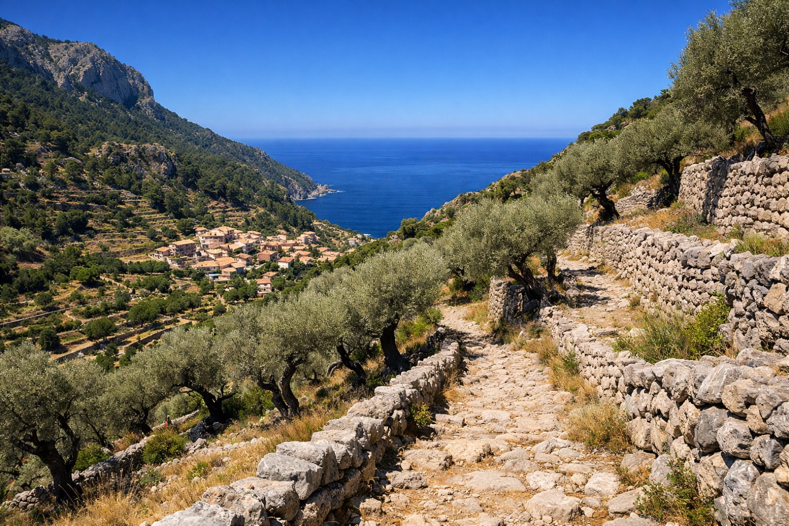
Sant Elm → Estellencs
challenging- Distance
- 26 km
- Ascent
- 1086 m
- Descent
- 965 m
 Stage 3
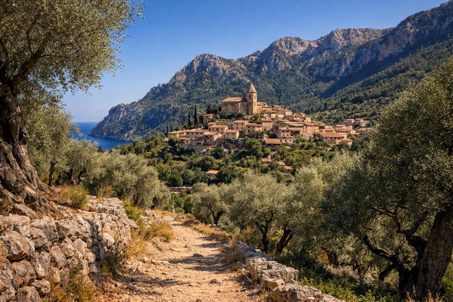
Estellencs → Esporles
moderate- Distance
- 22 km
- Ascent
- 670 m
- Descent
- 1032 m
 Stage 4
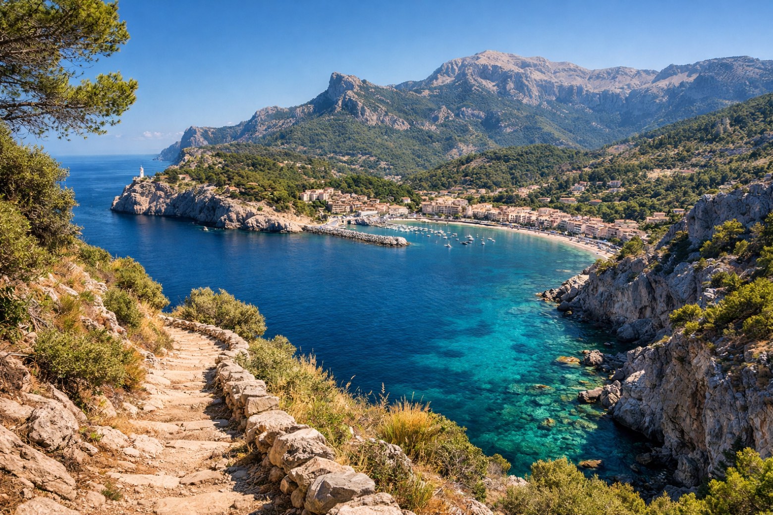
Esporles → Deià
challenging- Distance
- 24 km
- Ascent
- 1157 m
- Descent
- 1210 m
 Stage 5
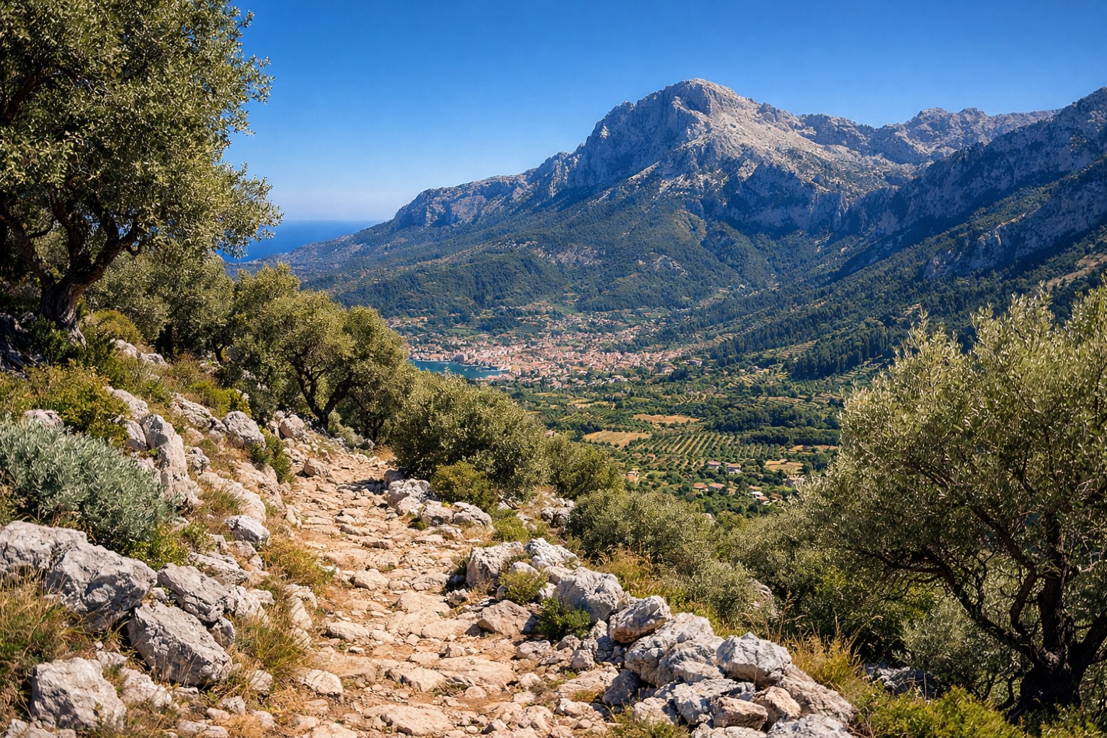
Deià → Port de Sóller
moderate- Distance
- 10 km
- Ascent
- 439 m
- Descent
- 484 m
 Stage 6
Port de Sóller → Escorca
challenging- Distance
- 28 km
- Ascent
- 1133 m
- Descent
- 657 m
- Stage 7
Escorca → Lluc
moderate- Distance
- 16 km
- Ascent
- 718 m
- Descent
- 739 m
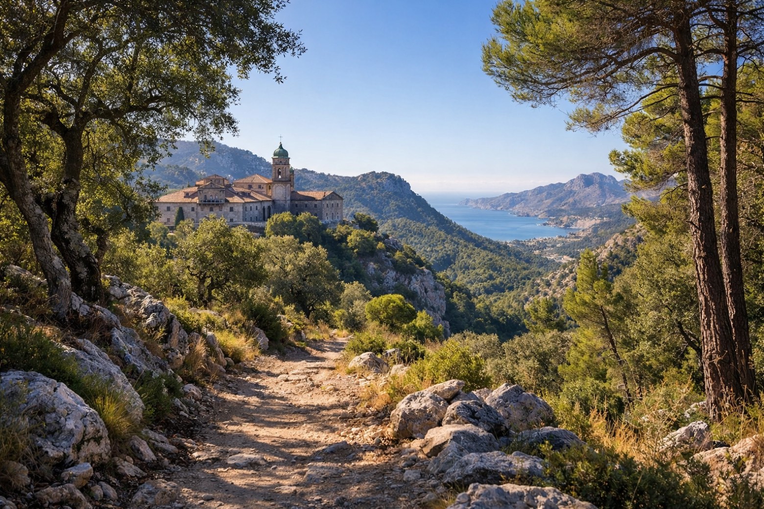 Stage 8
Lluc → Pollença
moderate- Distance
- 18 km
- Ascent
- 217 m
- Descent
- 667 m
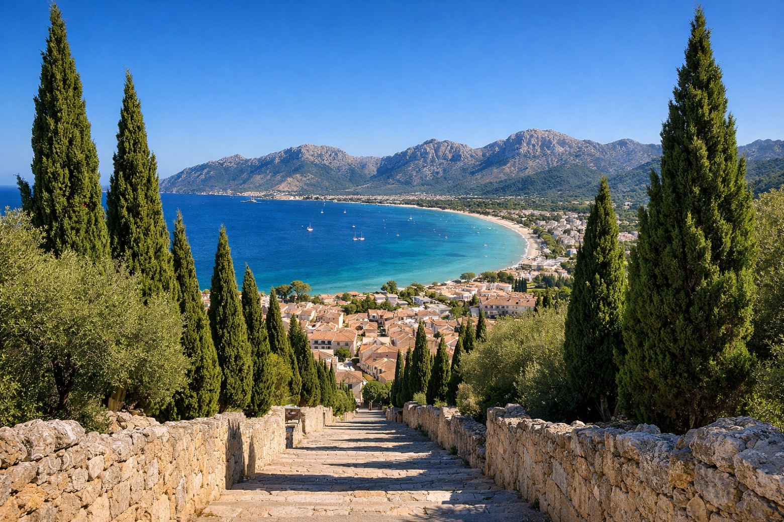 Stage 9
- Distance
- 7 km
- Ascent
- 2 m
- Descent
- 32 m
Points of interest
- Prehistoric remains of Tossals Verds / Coma des Pou
Archaeological site, in Escorca, Spain, designated as bien de interés cultural.
- Bocchoris
Archaeological site, in Pollença, Spain, designated as bien de interés cultural.
- Castell del Moro
Castle, in Deià, Spain, at 289 m elevation.
- El Castellet de l'Esclop
Natural landmark, in Calvià, Spain, at 776 m elevation.
- Prehistoric remains in Cúber / Es Frare
Archaeological site, in Escorca, Spain, designated as bien de interés cultural.
- Prehistoric remains in Son Ordines
Archaeological site, in Alaró, Spain, designated as bien de interés cultural.
- Cova de Son Ordines
Archaeological site, in Alaró, Spain, designated as bien de interés cultural.
- Prehistoric remains in Solleric
Archaeological site, in Alaró, Spain, designated as bien de interés cultural.
Travel
Find connections for your cammino.
Search trainsMore walks in Spain
Plan your walking trip
All articles and guidesHow to choose a walking route: stages, days and ascent
How many days can you actually spend walking? Start there, then choose stages that leave you time to stop along the way.
How to plan a walking trip by train and bus
Two different stations, a last bus and a backpack. Fit the journeys out and home around the days you want to spend walking.
Take your walk with you: download Appy
GR221 Serra de Tramuntana (Mallorca). Explore maps, stages and elevation in the app, and plan your train or bus journey.

