Via Francigena: Sigeric’s 79 stops
Sigeric’s itinerary fits on two facing manuscript pages. Around 990 the archbishop of Canterbury went to Rome to receive the pallium. His list of stops records the journey home. For anyone walking the Francigena south, there is a simple way into the manuscript: start at the other end.

Published on
What took an archbishop to Rome?
The European Association of the Via Francigena dates the journey to 990. Sigeric went to receive the pallium, the insignia of his office, from Pope John XV. That explains Rome’s importance as a destination. Open the surviving account to find out how he got there, however, and you discover that the list of stopping places sets out from the papal city.
There is a good reason to read it in that order. The heading identifies the sea as the endpoint. Canterbury was Sigeric’s seat, but treating the words “to the sea” as a record of every step on the English side would put information into the list that simply is not there.
How to find the itinerary on a library shelf
The British Library catalogues the passage as Cotton MS Tiberius B V/1, folios 23v–24r. Those letters identify sides of leaves: the back of leaf 23 and the front of leaf 24. A short entry among quite different texts in a bound volume can carry a reader across a good part of Europe.
The library dates most of the copying of the manuscript to the second quarter of the eleventh century. The journey took place decades earlier. We can use the text as evidence for Sigeric’s route without turning the leaves now in London into a pocket notebook written in the archbishop’s own hand.
The stop that makes the arithmetic look wrong
Alessio Innocenti’s study points out a small irregularity: the numbering jumps from 78 to 80. There are 79 entries. Reading the last numeral alone gives a different answer from counting the places. Nor does a list of stops tell us exactly how many days the journey lasted. We do not have a dated departure and arrival for every name.
To reconstruct a road, historians also have to work between the points. Innocenti sets the names alongside the terrain, material remains and other known routes. The order of two places survives in writing; the line that connected them still needs evidence on the ground.
A way to read it on a Tuscan stage
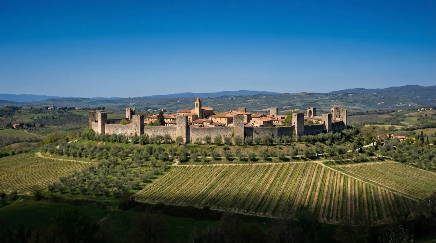
Between San Gimignano and Monteriggioni, today’s stage map gives you every turn. Cover the line with your hand and leave just the two town names showing. You know which way you want to go; at the first fork you are already missing a piece of information. That is the historian’s problem with a list of medieval stops.
Before you go
- Read the list from Rome towards the sea.
- Set the journey date beside the date of the surviving copy.
Walks in this guide
These distances are for the whole walk. Open a route to see which stages you’d like to walk.
- Via Francigena
- Distance
- 1,013.3 km
- Stages
- 45 stages