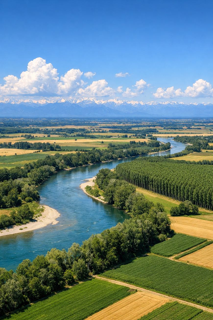
Via Francisca del Lucomagno
Lombardia, Italy
Italy · Castelletto, Italy → Gornate Superiore, Italy
Distance
139 km
Stages
8
Difficulty
easy
Best months
Apr-Jun, Sep-Oct
Via Francisca del Lucomagno · Stages and distances
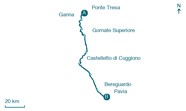
Walking distances for Appy’s stages (8)
| Stage | km |
|---|---|
| 1. Ponte Tresa → Ganna | 14.1 |
| 2. Ganna → Capolago | 18.8 |
| 3. Capolago → Gornate Superiore | 14.8 |
| 4. Gornate Superiore → Castellanza | 20.7 |
| 5. Castellanza → Castelletto di Cuggiono | 18.3 |
| 6. Castelletto di Cuggiono → Castelletto | 17.5 |
| 7. Castelletto → Bereguardo | 18.7 |
| 8. Bereguardo → Pavia | 15.9 |
| Total | 138.8 |
About
A 140 km cultural walk through Italy, the Via Francisca del Lucomagno connects Castelletto to Gornate Superiore. Eight stages, 1,362 m of elevation gain, a journey through gentle hills and lush fields.
You’ll pass Caselle di Morimondo, where a historic abbey stands silent, and Bernate Ticino, with its tranquil river views. Smell the earth after rain at Cascina Freghina, where traditional agriculture thrives.
Ideal for beginners, this route is a of Lombardy's heritage, a weeklong exploration of landscapes and stories, accessible year-round.
Stages
8 stages
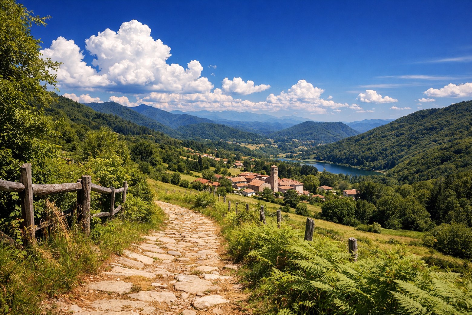 Stage 1
Ponte Tresa → Ganna
moderate- Distance
- 14 km
- Ascent
- 362 m
- Descent
- 166 m
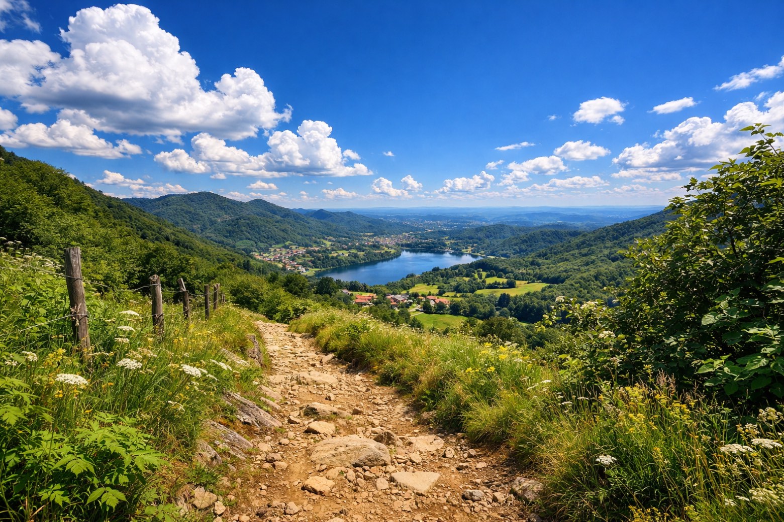 Stage 2
Ganna → Capolago
moderate- Distance
- 19 km
- Ascent
- 615 m
- Descent
- 706 m
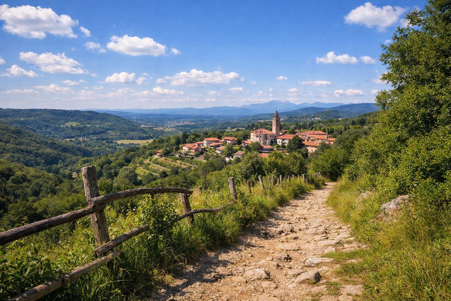 Stage 3
- Distance
- 15 km
- Ascent
- 195 m
- Descent
- 290 m
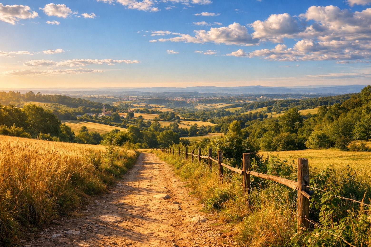 Stage 4
Gornate Superiore → Castellanza
moderate- Distance
- 21 km
- Ascent
- 157 m
- Descent
- 226 m
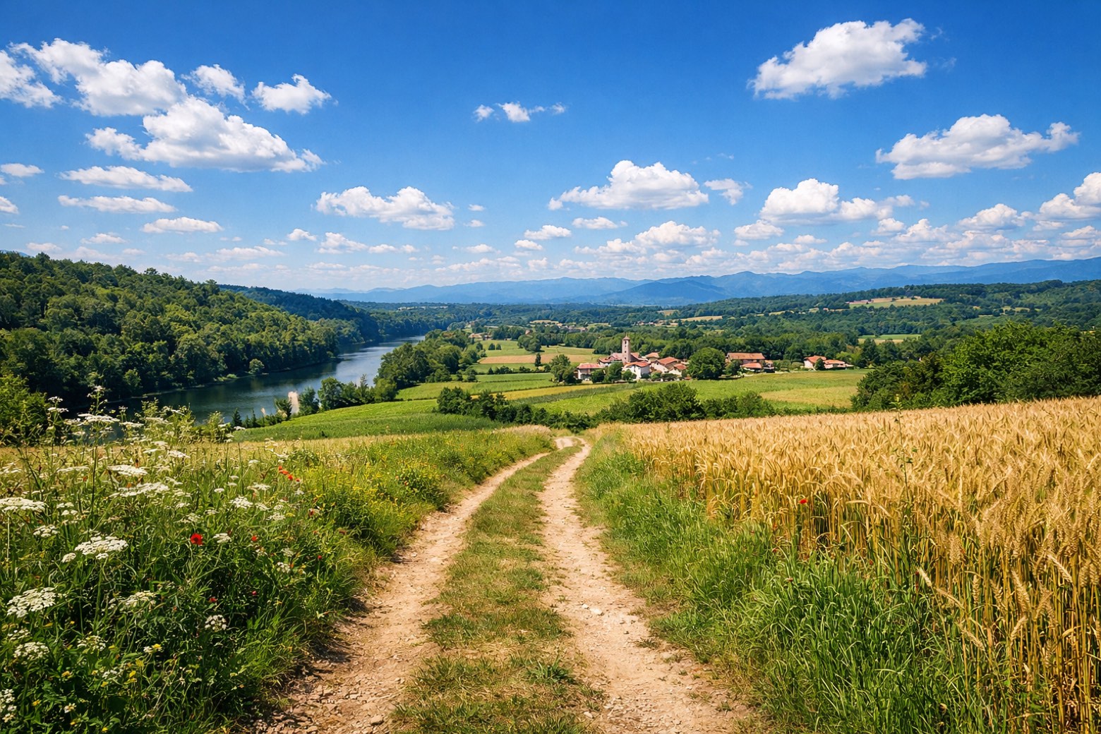 Stage 5
- Distance
- 18 km
- Ascent
- 0 m
- Descent
- 17 m
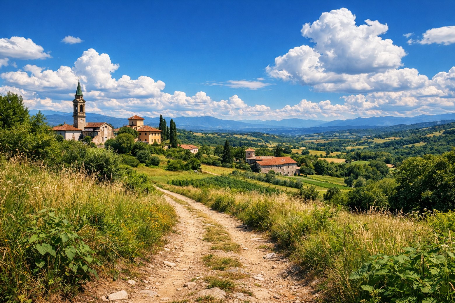 Stage 6
- Distance
- 18 km
- Ascent
- 12 m
- Descent
- 27 m
- Stage 7
- Distance
- 19 km
- Ascent
- 0 m
- Descent
- 0 m
- Stage 8
- Distance
- 16 km
- Ascent
- 21 m
- Descent
- 24 m
Points of interest
- Compendium of Via Pontida
The compendium consists of two buildings, the first used as a former gymnasium and the second as former public baths.
- Bosco Grande
20th-century national park, in Pavia, Italy, covering 22.0 km².
- Lago di Ghirla
Lake Ghirla. Lake, dedicated to Ghirla, in Italy, at 442 m elevation.
- Lago di Ganna
Lake Ganna. Lake, dedicated to Ganna, in Valganna, Italy, at 452 m elevation, covering 0.1 km².
- Laghetto di Brinzio
Lake, in Brinzio, Italy, at 510 m elevation.
- Monte Piambello
Peak, in Lombardy, Italy, at 1,125 m elevation.
- Monte Chiusarella
Peak, in Varese, Italy, at 913 m elevation.
- Monte Martica
Peak, in Lombardy, Italy, at 1,032 m elevation.
Travel
Find connections for your cammino.
Search trainsMore walks in Italy
Plan your walking trip
All articles and guidesHow to choose a walking route: stages, days and ascent
How many days can you actually spend walking? Start there, then choose stages that leave you time to stop along the way.
How to plan a walking trip by train and bus
Two different stations, a last bus and a backpack. Fit the journeys out and home around the days you want to spend walking.
Take your walk with you: download Appy
Via Francisca del Lucomagno. Explore maps, stages and elevation in the app, and plan your train or bus journey.

