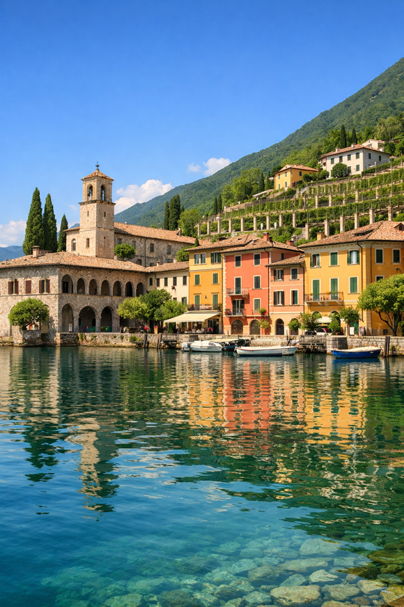
Cammino di Sant'Ercolano – Percorso Urbano
Lombardia, Italy
Italy · Toscolano, Italy → Toscolano, Italy
Distance
7 km
Stages
1
Difficulty
moderate
Best months
Apr-Jun, Sep-Oct
About
A 7 km cultural walk through Toscolano. The Cammino di Sant'Ercolano loops back to its start, climbing 404 metres as it reveals a of history, historic churches, charming borghi, and the shimmering waters of Lago di Garda.
Spring and autumn are best: the air is fragrant with blooming wildflowers, the sun gentle on your back. This route isn’t just a stroll; it’s a chance to connect with local traditions and narratives, inviting you to witness the slow pulse of life in this picturesque corner of Italy.
Stages
1 stages
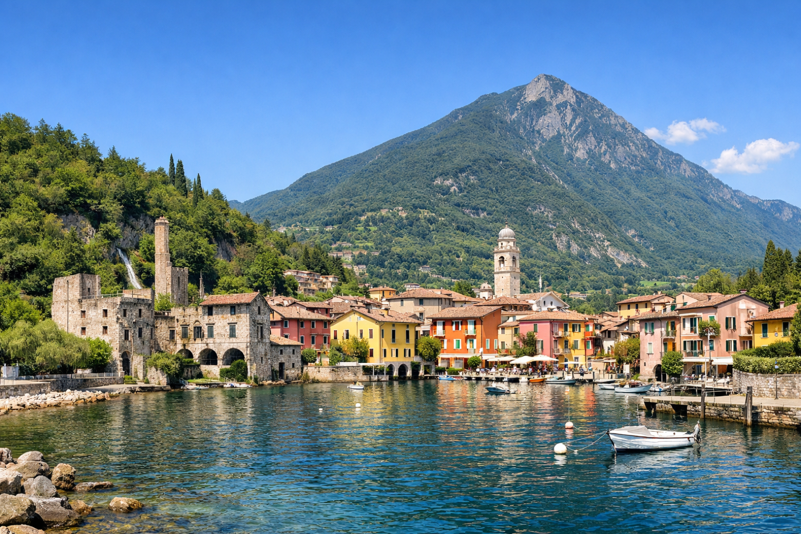 Stage 1
Toscolano → Toscolano
moderateDistance7 kmAscent404 mDescent415 m
Travel
Find connections for your cammino.
Search trainsMore walks in Italy

Plan your walking trip
How to choose a walking route: stages, days and ascent
Choose a walking route by comparing daily stages, available days, ascent and transport links. Practical planning with examples from the Appy catalogue.
How to plan a walking trip by train and bus
Plan travel to and from your walk: stage endpoints, stations, stops and the connection to the trail. A practical guide to routes and transport with Appy.
Take your walk with you: download Appy
Cammino di Sant'Ercolano – Percorso Urbano. Explore maps, stages and elevation in the app, and plan your train or bus journey.