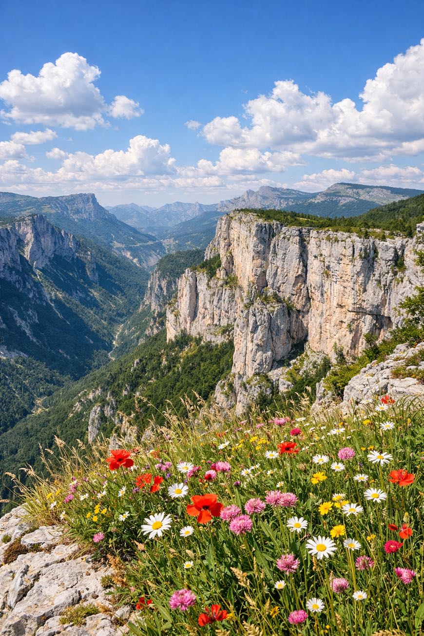
Tour du Vercors
Auvergne-Rhône-Alpes, France
France · Saint-Nizier-du-Moucherotte, France → Brantes, France
Distance
175 km
Stages
8
Difficulty
moderate
Best months
Apr-Jun, Sep-Oct
About
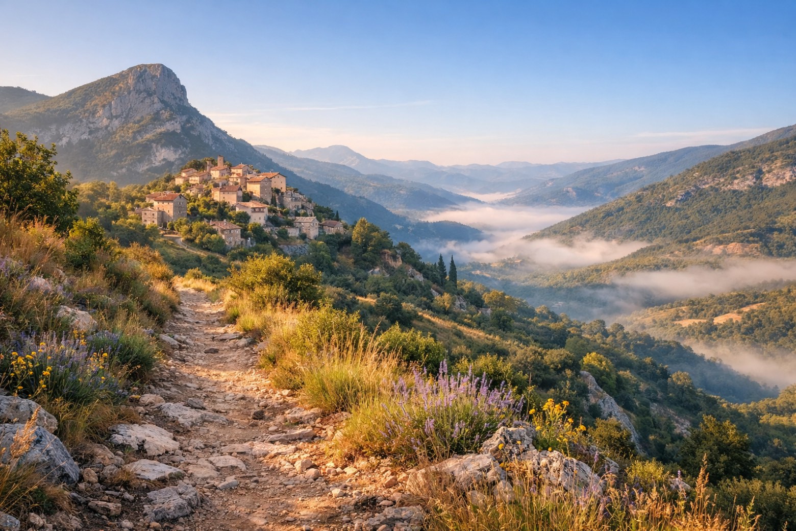
A 180 km trek through the Vercors Massif, where limestone cliffs rise, and deep gorges whisper secrets of the Resistance. Eight stages of alpine meadows and ancient forests, with a total elevation gain of 4,673 metres.
Start at Saint-Nizier-du-Moucherotte, where the air is crisp, and the views are endless. Along the way, savor Raviole du Dauphiné and the creamy Saint-Marcellin.
It’s not just a hike; it’s a journey through history and flavor, accessible year-round, but best from April to June or September to October.
Stages
8 stages
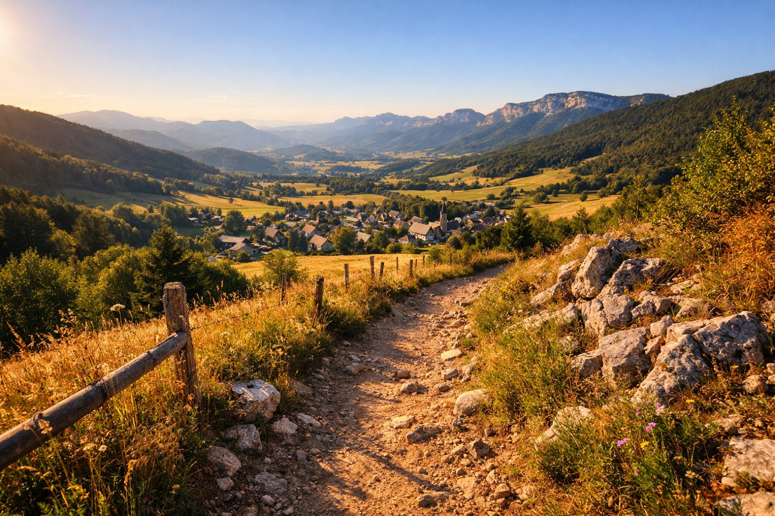 Stage 1Distance18 kmAscent250 mDescent394 m
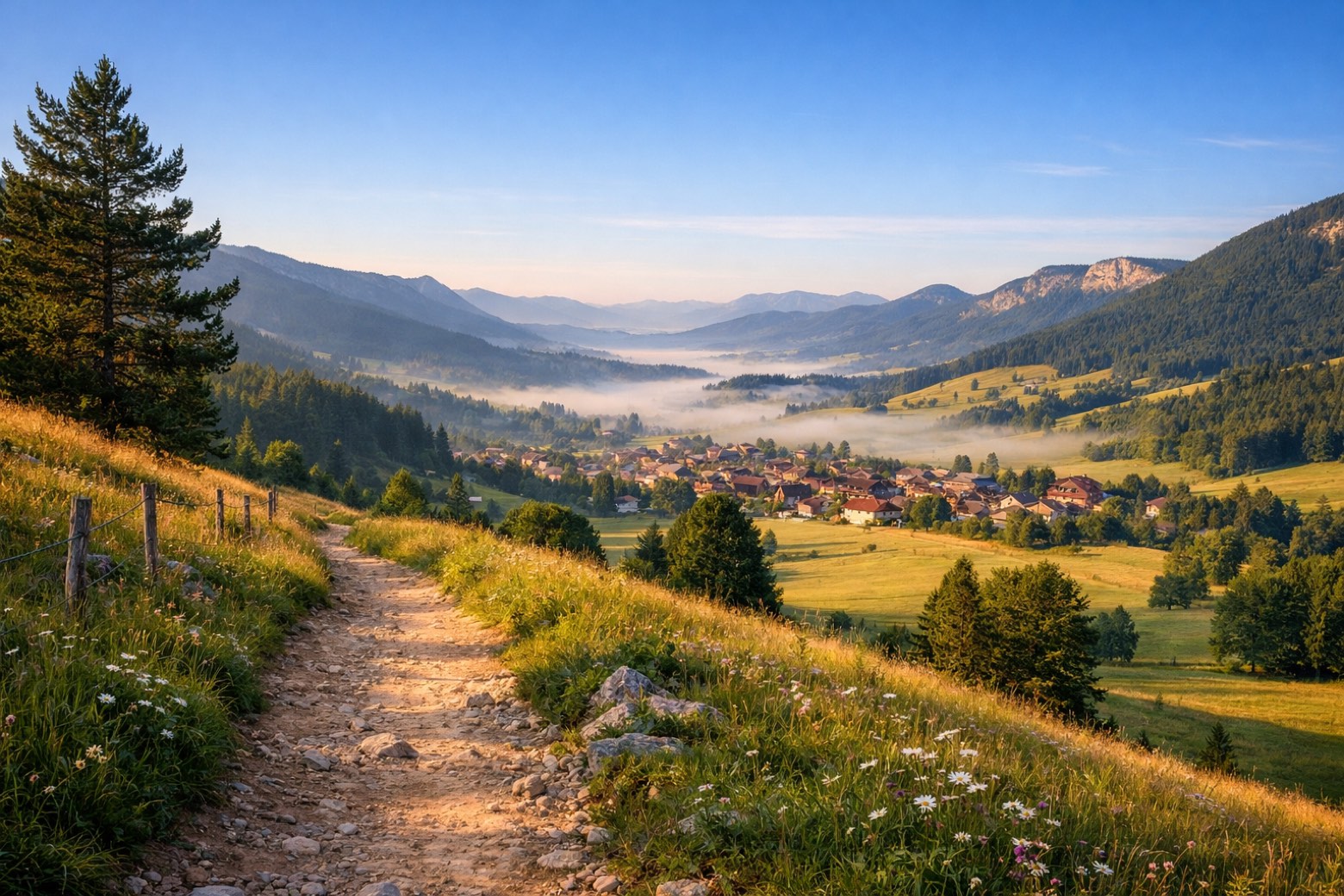 Stage 2Distance12 kmAscent106 mDescent81 m
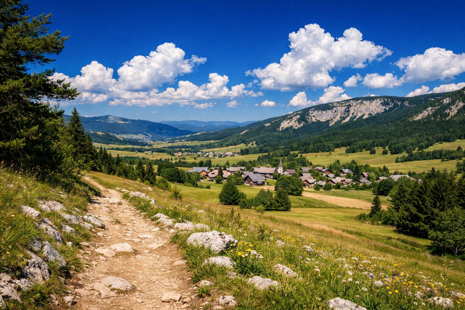 Stage 3Distance10 kmAscent249 mDescent169 m
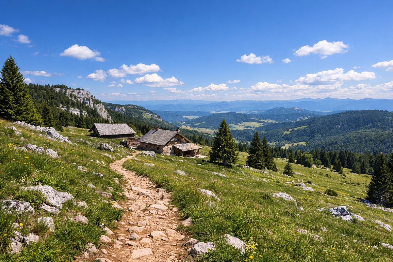 Stage 4
Corrençon → Cabane de Carrette
challengingDistance20 kmAscent1238 mDescent1213 m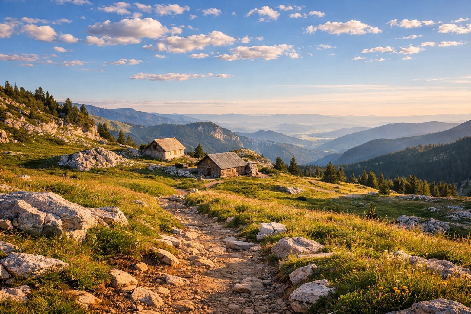 Stage 5Distance18 kmAscent674 mDescent264 m
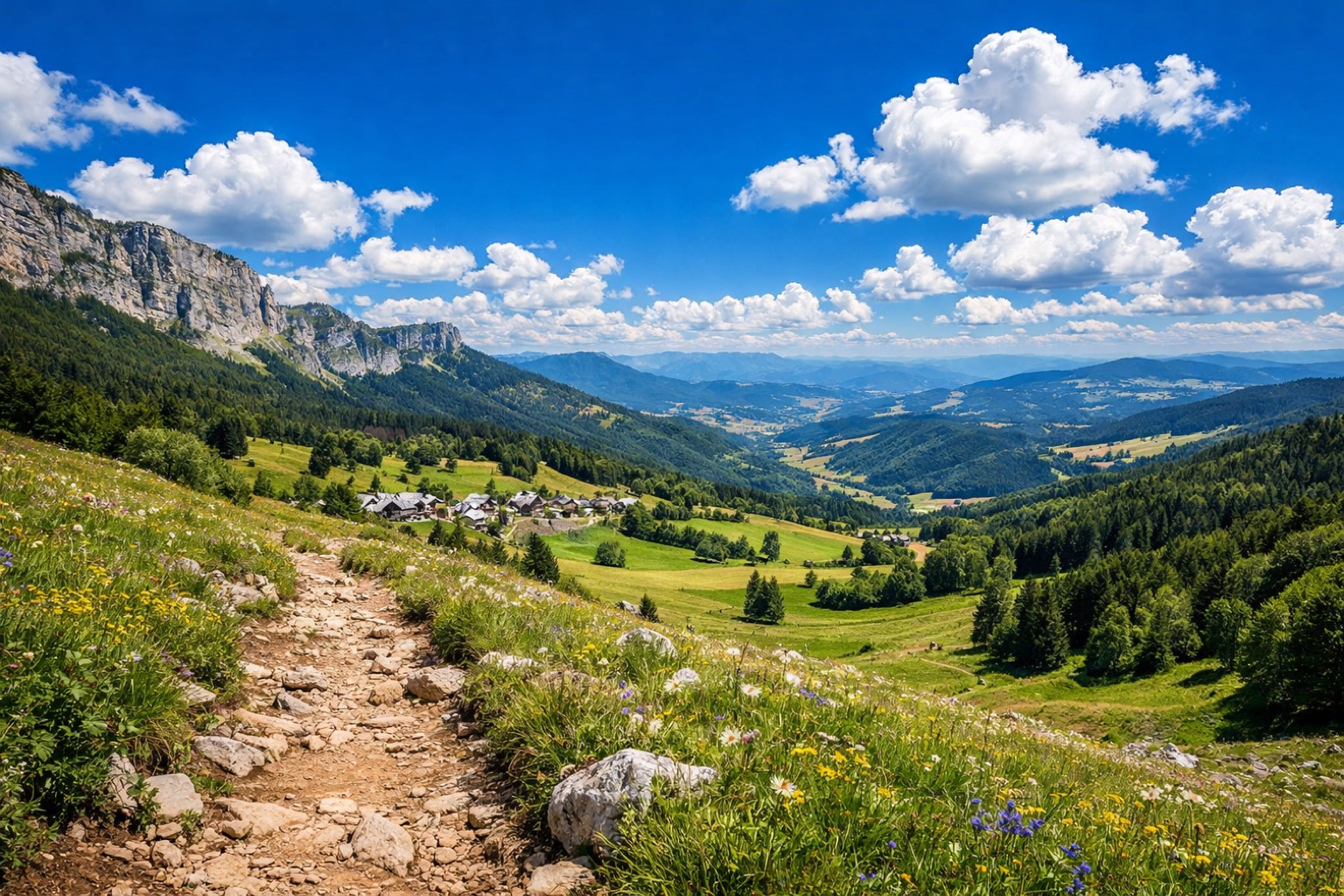 Stage 6Distance22 kmAscent488 mDescent1086 m
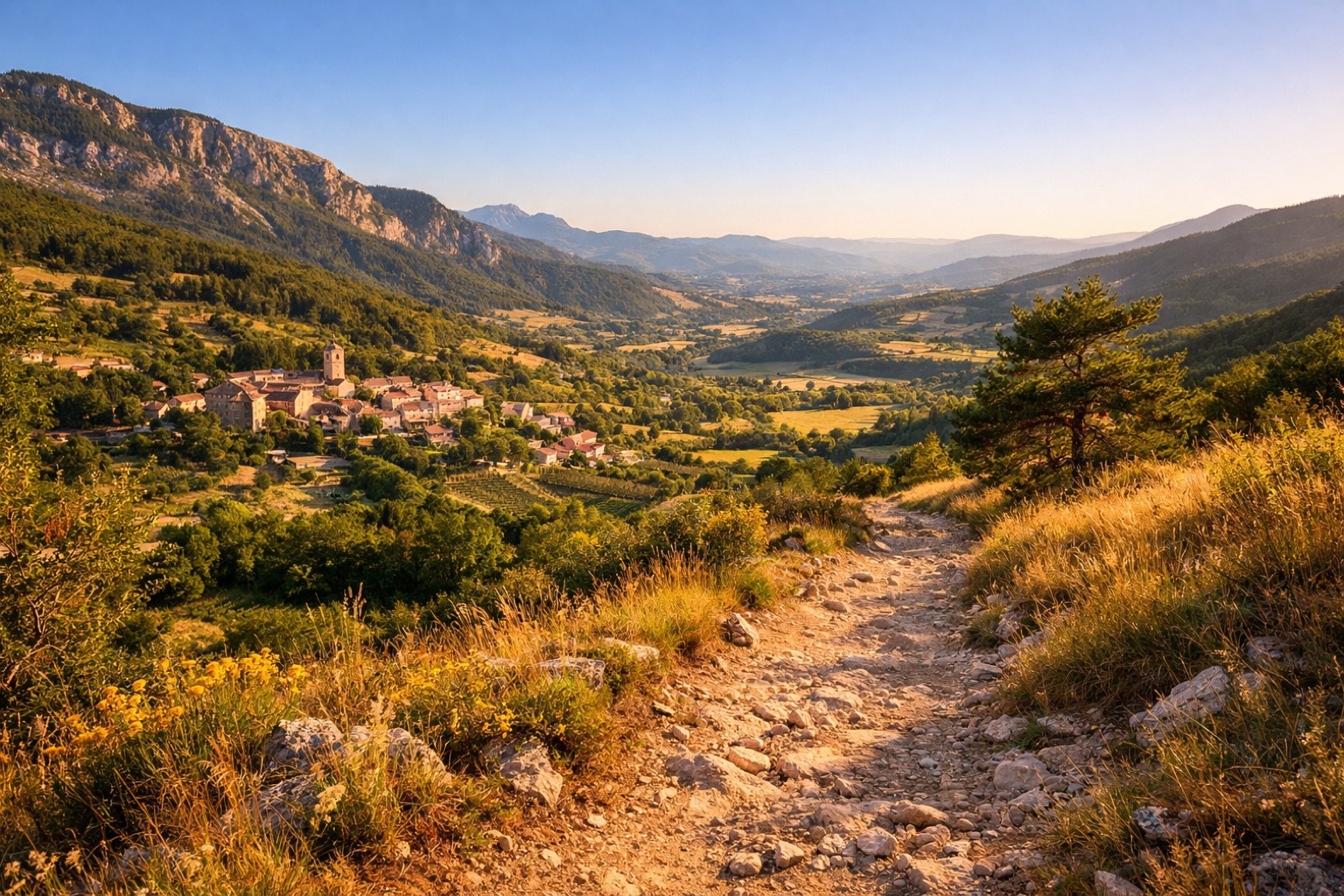 Stage 7Distance30 kmAscent613 mDescent998 m
 Stage 8
Châtillon-en-Diois → Brantes
challengingDistance45 kmAscent1055 mDescent1007 m
Points of interest
- Ganpaloup
- trou qui souffle
- réserve biologique intégrale de les Ecouges
réserve biologique intégrale de les Ecouges. 21st-century national park, in France, covering 248.1 km².
Travel
Find connections for your cammino.
Search trainsMore walks in France
Plan your walking trip
How to choose a walking route: stages, days and ascent
Choose a walking route by comparing daily stages, available days, ascent and transport links. Practical planning with examples from the Appy catalogue.
How to plan a walking trip by train and bus
Plan travel to and from your walk: stage endpoints, stations, stops and the connection to the trail. A practical guide to routes and transport with Appy.
Take your walk with you: download Appy
Tour du Vercors. Explore maps, stages and elevation in the app, and plan your train or bus journey.