Die to Sainte-Croix
- Distance
- 21.8 km
- Ascent
- 1310 m
- Descent
- 1337 m
- Difficulty
- challenging
Chamaloc and Marignac-en-Diois are possible detours. The walking line crosses Col de Ponet et Marignac, descends to Ponet-et-Saint-Auban and follows Crête de Ramiat above the Drôme valley.
Open this stage in Appy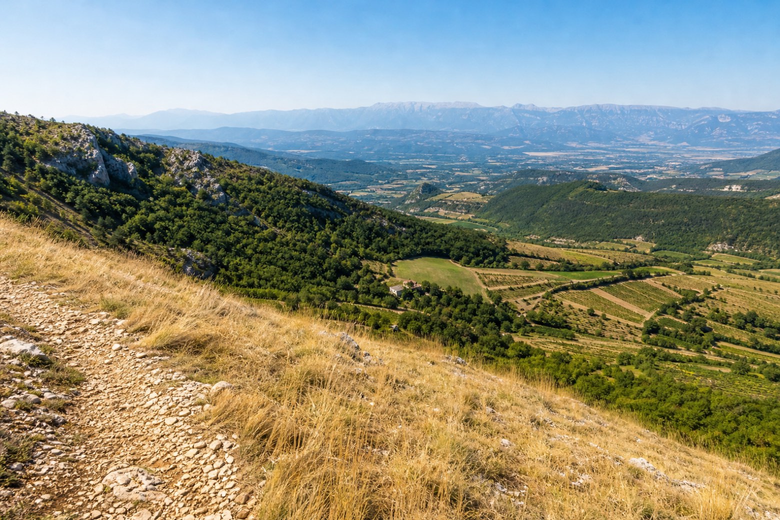
Before leaving Die, locate Porte Saint-Marcel de Die on the map. It is close to the starting point.
Look for these places on the stage map: Le Moulin, Ponet-et-Saint-Auban, and Le Bourg.
What to see on this stage
History and landmarks
Porte Saint-Marcel de Die
< 100 m from the trail as the crow flies
Nature and landscape
Col de Ponet et Marignac
< 100 m from the trail as the crow flies
Belvédère
2 km from the trail as the crow flies