Vassieux-en-Vercors to Font d’Urle (Bouvante)
- Distance
- 6.9 km
- Ascent
- 510 m
- Descent
- 117 m
- Difficulty
- easy
A steep trail reaches Col de la Chau, with views towards Grand Veymont. Beyond Pot de la Croix the beech woods open onto the high pastures of Font d’Urle.
Open this stage in Appy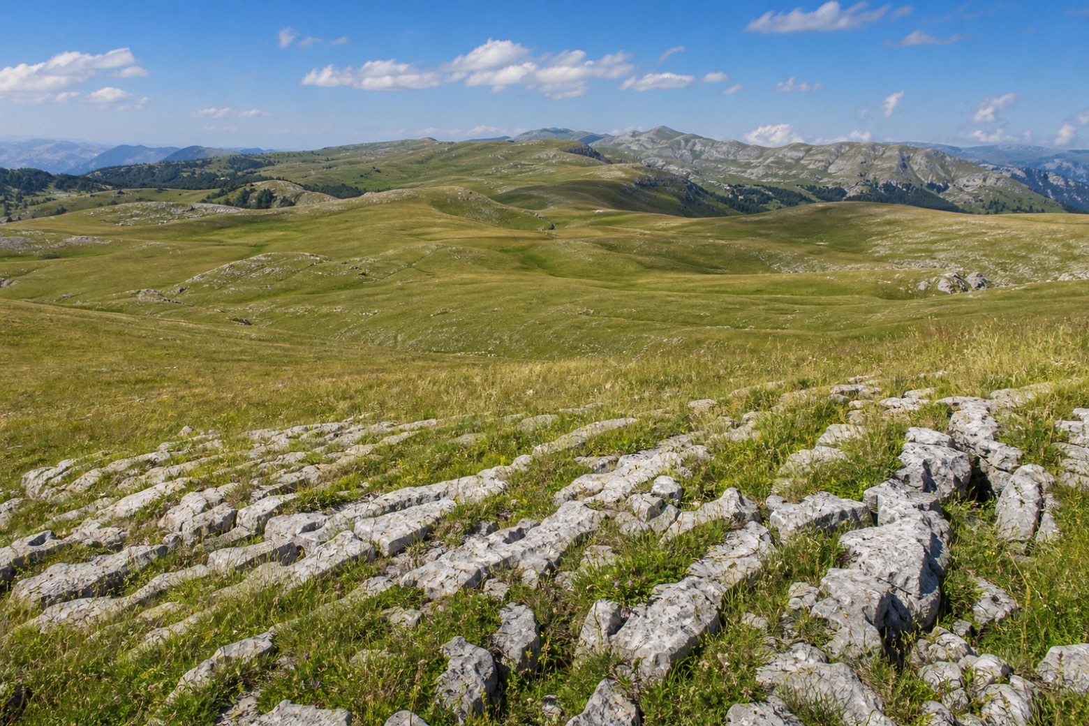
Before leaving Vassieux-en-Vercors, locate Église Notre-Dame-de-l’Assomption de Vassieux-en-Vercors on the map. It is close to the starting point.
Look for these places on the stage map: Moulin Allard.
What to see on this stage
History and landmarks
Église Notre-Dame-de-l’Assomption de Vassieux-en-Vercors
Church · < 100 m from the trail as the crow flies
Musée départemental de la Résistance du Vercors
Museum · < 100 m from the trail as the crow flies
Nature and landscape
Col de la Chau
< 100 m from the trail as the crow flies
Scialet Abel
100 m from the trail as the crow flies