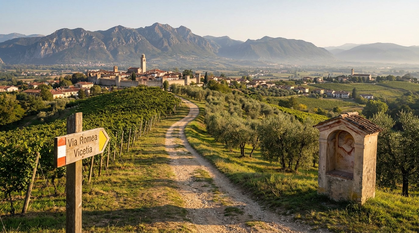
Romea Vicetia
Trentino-Alto Adige, Italy
Italy · Rovereto, Italy → Isola Vicentina, Italy
Distance
164 km
Stages
8
Difficulty
moderate
Best months
Apr-Jun, Sep-Oct
About
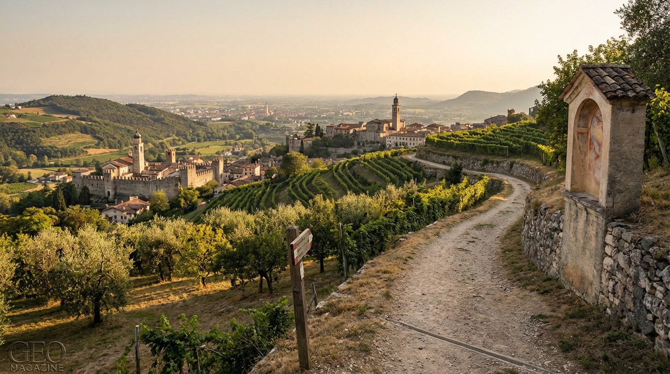
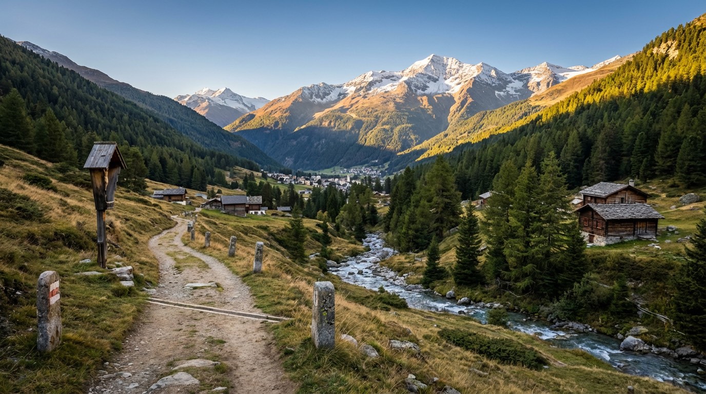
From Rovereto’s cobbled streets to Isola Vicentina, about 160 km of history and nature unfold. The Romea Vicetia winds through the Pre-Alpine valleys, where the scent of wild thyme mingles with the crisp mountain air.
Eight stages lead you past World War I fortifications in Vallarsa, reminders of a past etched into the landscape. As you ascend the Pasubio massif, the elevation gain of 3,841 meters rewards you with sweeping vistas.
Spring and autumn are prime, perfect for savoring local cuisine and the echoes of centuries past. This is a modern journey through Italy’s heart.
Stages
8 stages
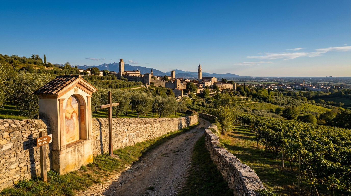 Stage 1
Borgo Sacco di Rovereto → Parrocchia
challengingDistance26 kmAscent1356 mDescent712 m- Stage 2Distance10 kmAscent754 mDescent407 m
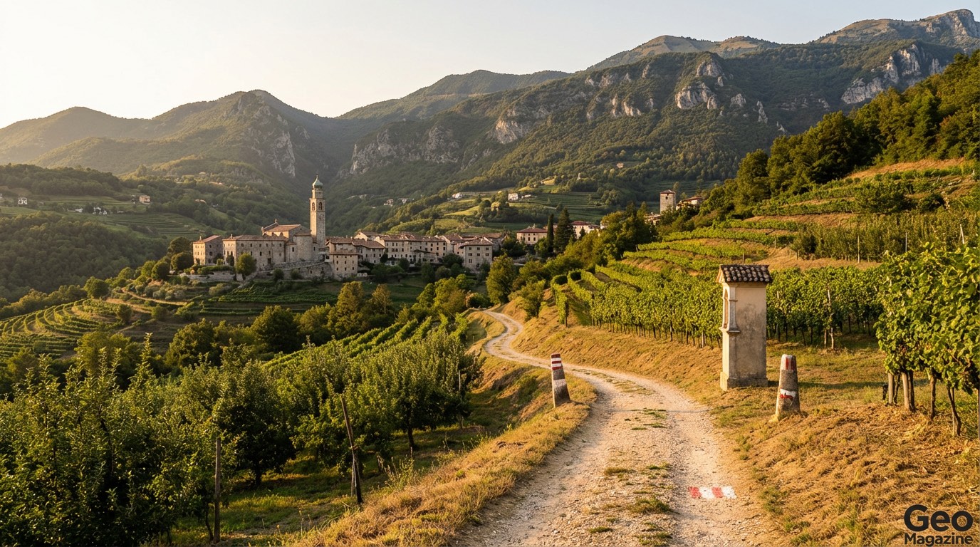 Stage 3Distance12 kmAscent400 mDescent1217 m
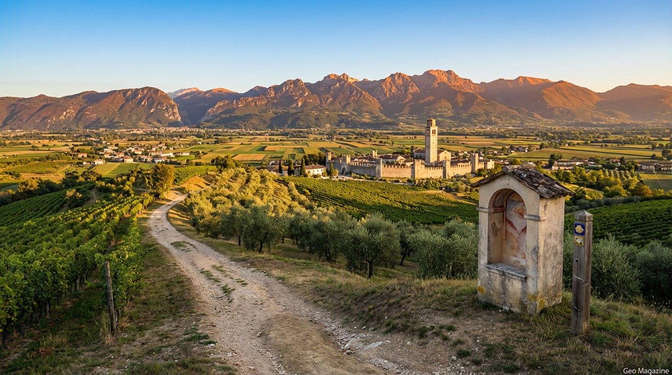 Stage 4Distance15 kmAscent956 mDescent1074 m
 Stage 5
Torrebelvicino → Vicenza
moderateDistance33 kmAscent202 mDescent384 m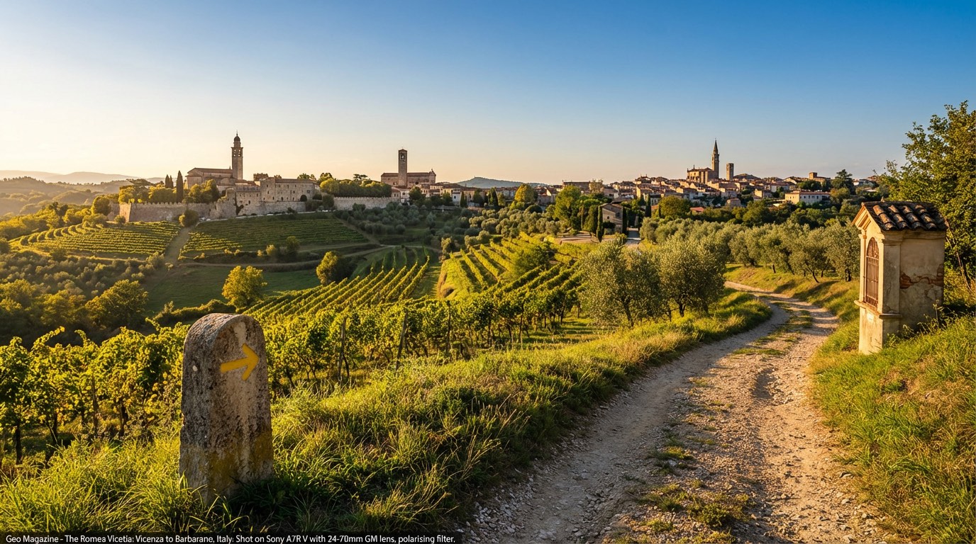 Stage 6Distance21 kmAscent69 mDescent98 m
 Stage 7Distance22 kmAscent43 mDescent45 m
 Stage 8Distance25 kmAscent61 mDescent65 m
Travel
Find connections for your cammino.
Search trainsMore walks in Italy
Plan your walking trip
How to choose a walking route: stages, days and ascent
Choose a walking route by comparing daily stages, available days, ascent and transport links. Practical planning with examples from the Appy catalogue.
How to plan a walking trip by train and bus
Plan travel to and from your walk: stage endpoints, stations, stops and the connection to the trail. A practical guide to routes and transport with Appy.
Take your walk with you: download Appy
Romea Vicetia. Explore maps, stages and elevation in the app, and plan your train or bus journey.