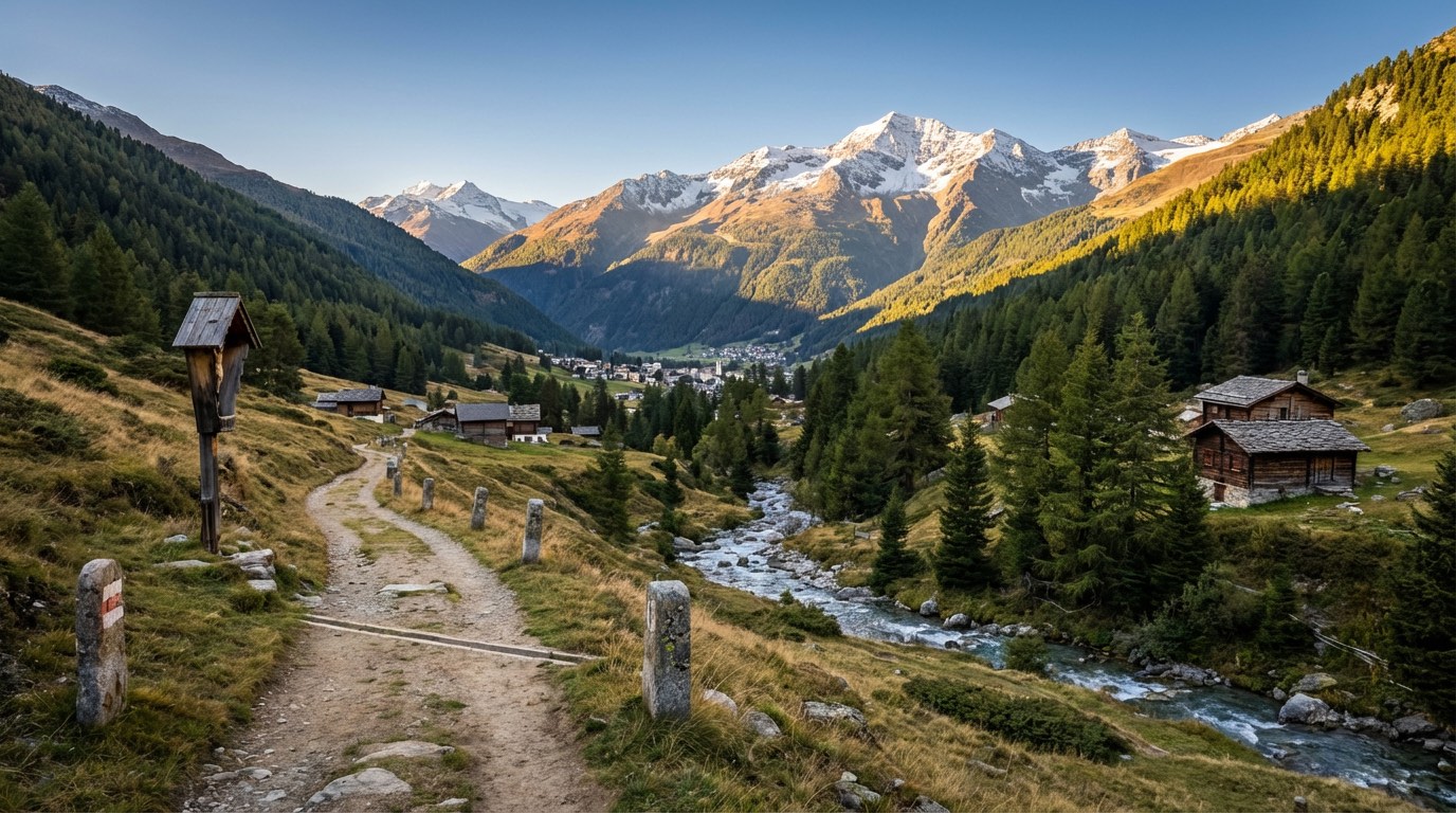
Romea Claudia Augusta
Trentino-Alto Adige, Italy
Italy · Resia, Italy → Cortina sulla Strada del Vino, Italy
Distance
205 km
Stages
9
Difficulty
moderate
Best months
Apr-Jun, Sep-Oct
About
Two hundred four point nine kilometers from Resia to Cortina. The Romea Claudia Augusta traces the ancient Via Claudia Augusta, a Roman road built in 46 AD.
This is a journey through time, where crumbling stone churches and whispering vineyards tell stories of centuries past. With 821 meters of elevation gain, the trail weaves through charming villages like Clusio and Tarnello, each offering a taste of local life.
Spring and autumn bring the best conditions, crisp air, the scent of ripening grapes, and a chance for quiet reflection among the hills of South Tyrol.
Stages
9 stages
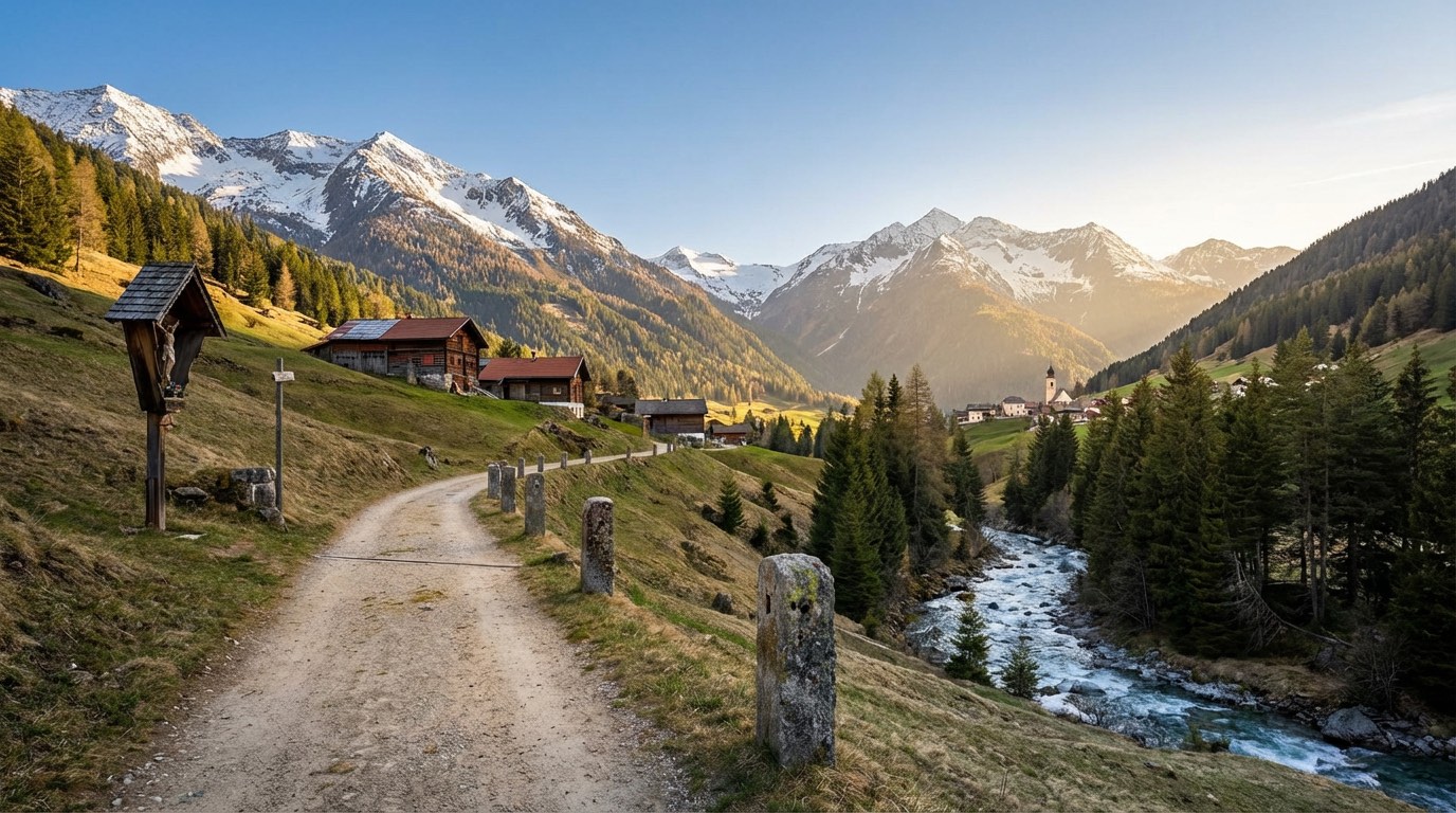 Stage 1
Resia → Burgusio
moderateDistance18 kmAscent246 mDescent496 m- Stage 2Distance15 kmAscent44 mDescent346 m
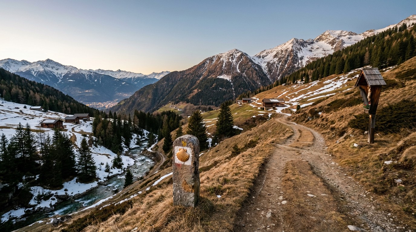 Stage 3
Prato Allo Stelvio → Naturno
moderateDistance35 kmAscent99 mDescent477 m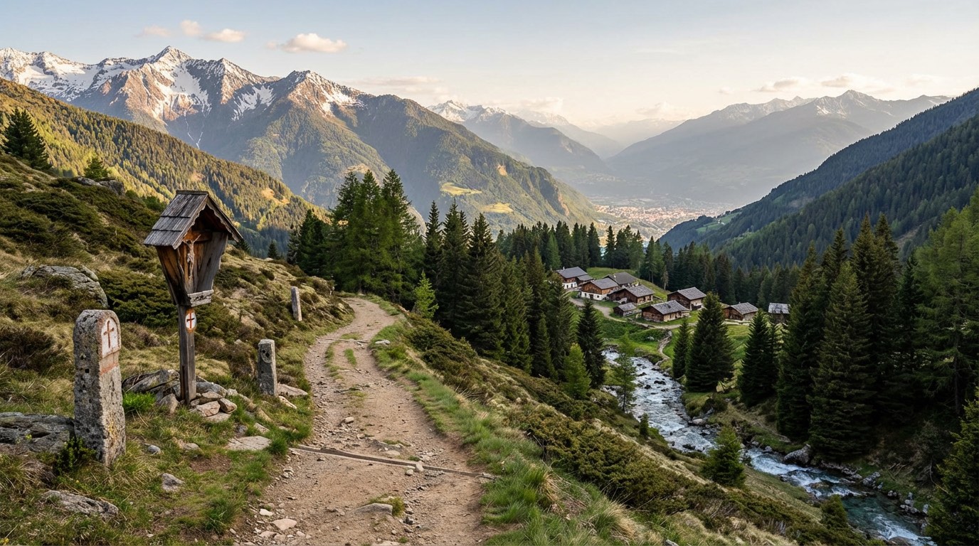 Stage 4
Naturno → Merano
easyDistance14 kmAscent38 mDescent265 m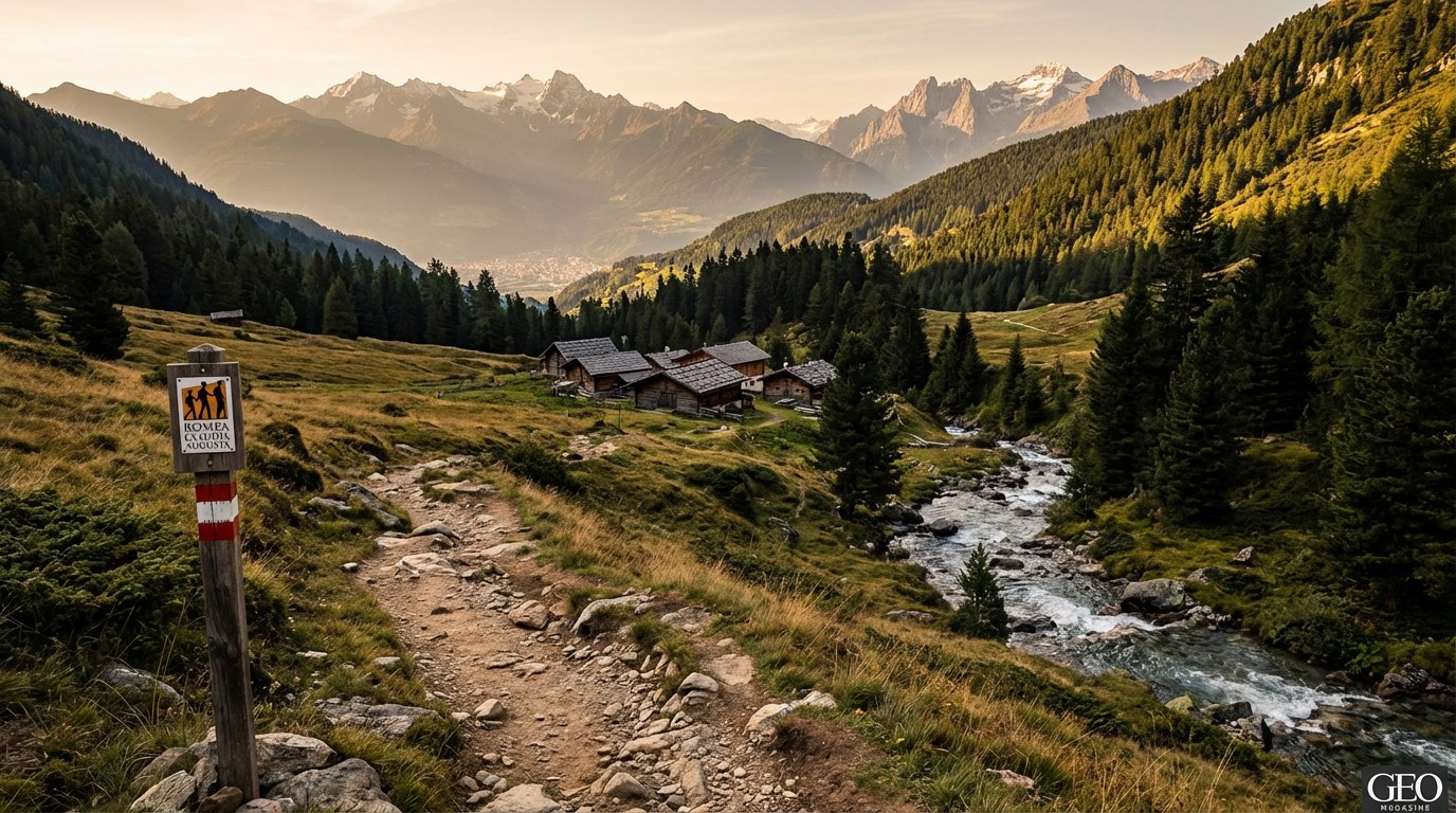 Stage 5
Merano → Bolzano
moderateDistance29 kmAscent63 mDescent119 m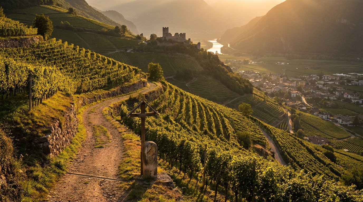 Stage 6
Bolzano → Ora
easyDistance19 kmAscent55 mDescent98 m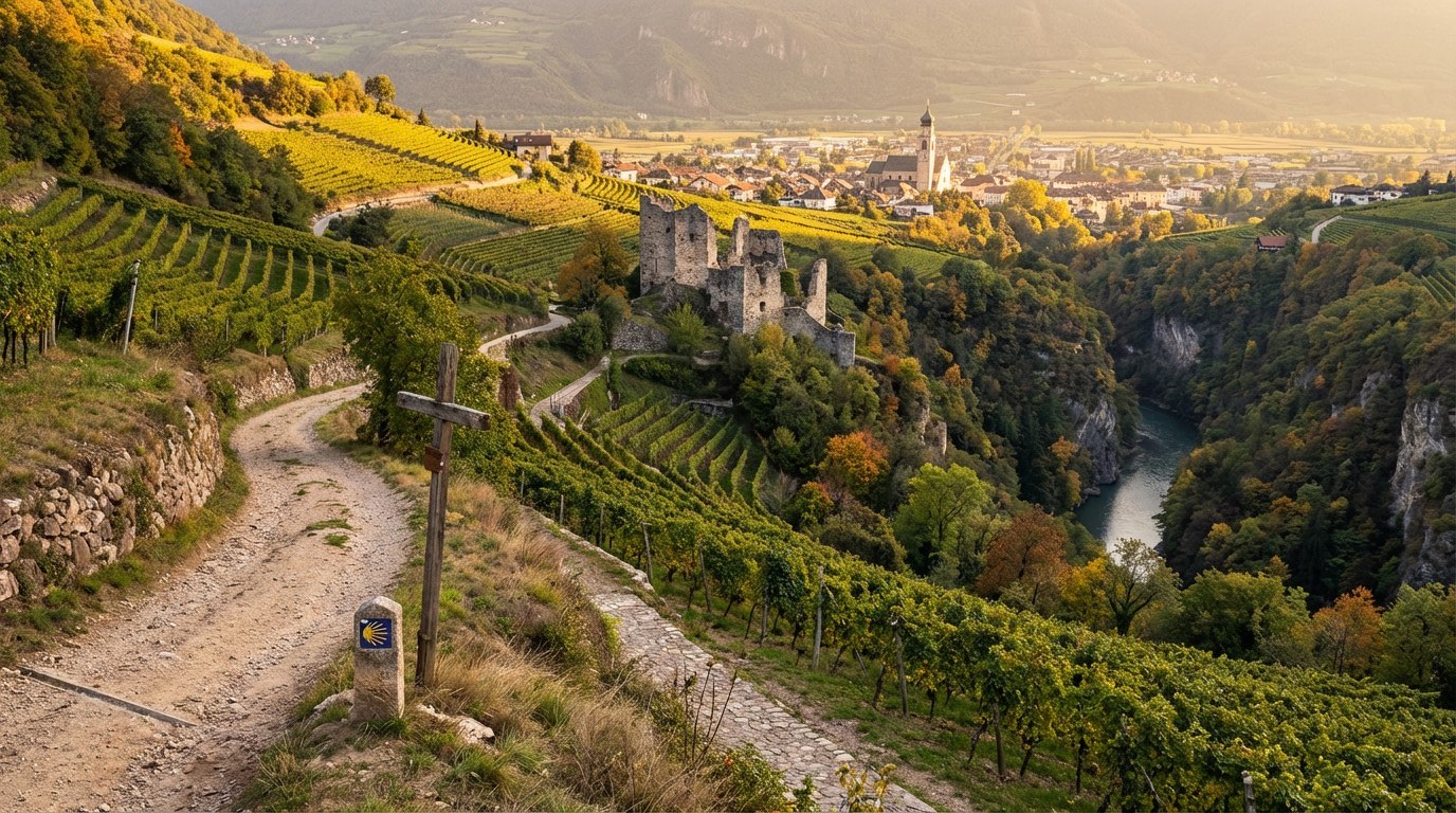 Stage 7
Ora → Salorno
easyDistance14 kmAscent26 mDescent36 m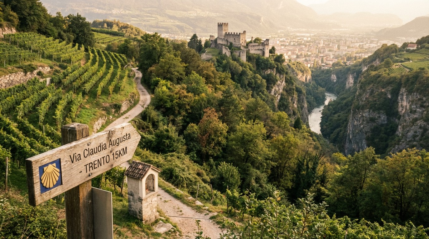 Stage 8
Salorno → Trento
moderateDistance31 kmAscent115 mDescent138 m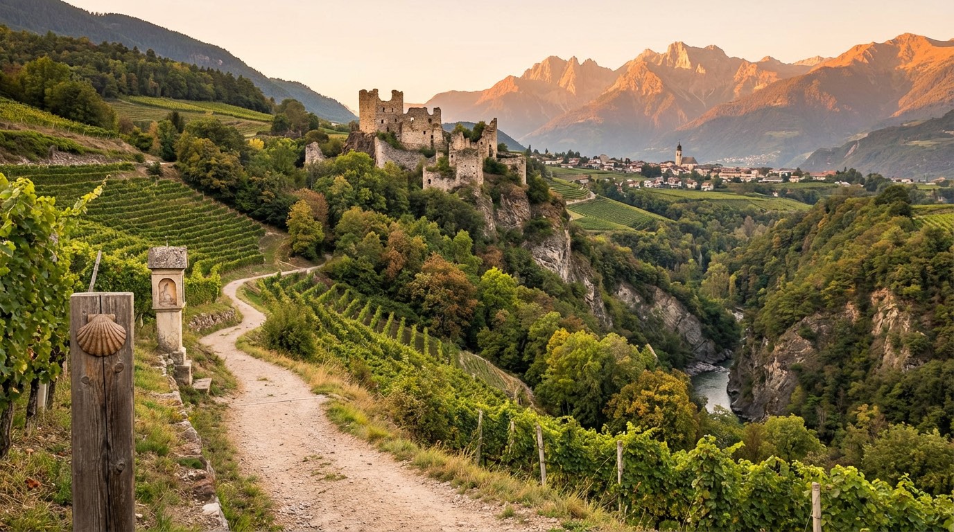 Stage 9
Trento → Rovereto
moderateDistance28 kmAscent135 mDescent114 m
Travel
Find connections for your cammino.
Search trainsMore walks in Italy
Plan your walking trip
How to choose a walking route: stages, days and ascent
Choose a walking route by comparing daily stages, available days, ascent and transport links. Practical planning with examples from the Appy catalogue.
How to plan a walking trip by train and bus
Plan travel to and from your walk: stage endpoints, stations, stops and the connection to the trail. A practical guide to routes and transport with Appy.
Take your walk with you: download Appy
Romea Claudia Augusta. Explore maps, stages and elevation in the app, and plan your train or bus journey.