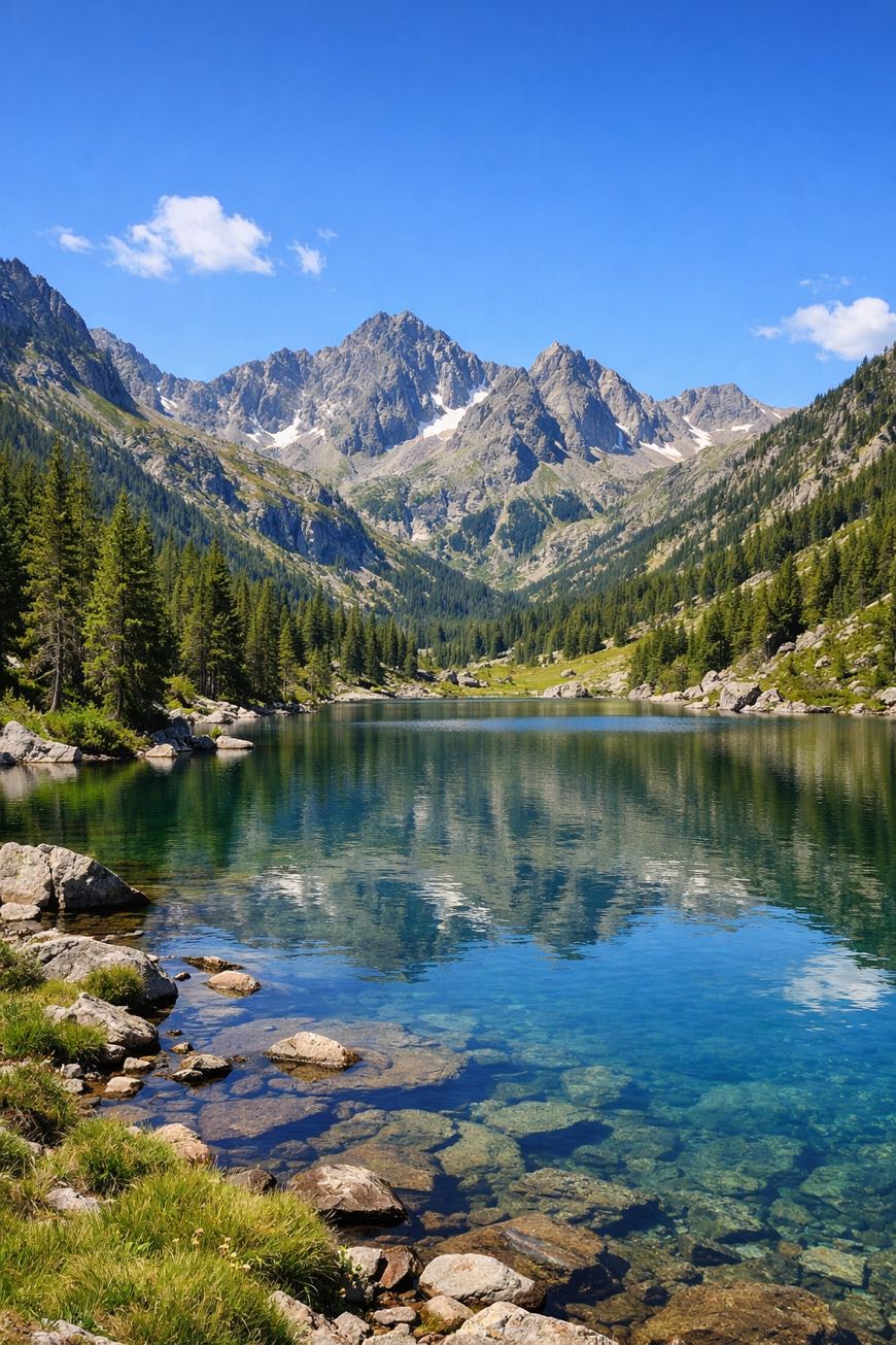
Porta del Cel
Andorra
Andorra · Tavascan, Andorra → Tavascan, Andorra
Distance
86 km
Stages
5
Difficulty
moderate
Best months
Apr-Jun, Sep-Oct
About
A 65 km cultural walk through Andorra’s rugged heart. Five stages, 2,578 m of elevation gain, and a of rocky outcrops, lush valleys, and stone Bordes, traditional huts that whisper stories of pastoral life.
Starting and ending in Tavascan, the Porta del Cel invites both beginners and seasoned hikers with its well-marked paths and year-round accessibility. Key waypoints like L'Artigue and Pla de l'Izard offer not just views, but a sensory feast: the crisp mountain air, the crunch of gravel underfoot, and the distant call of wildlife.
Stages
5 stages
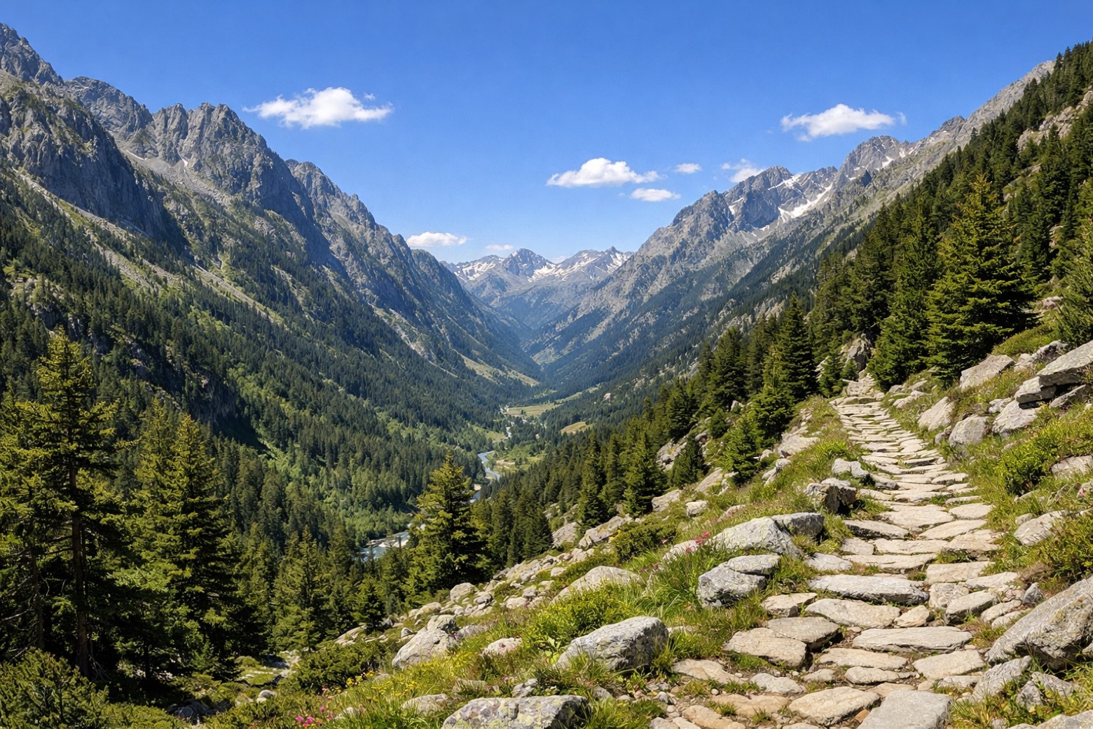 Stage 1Distance7 kmAscent250 mDescent200 m
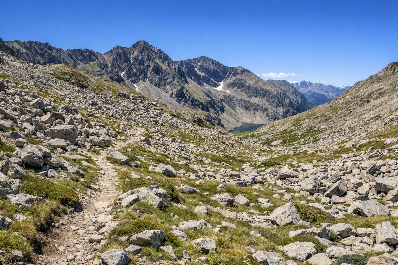 Stage 2Distance15 kmAscent209 mDescent105 m
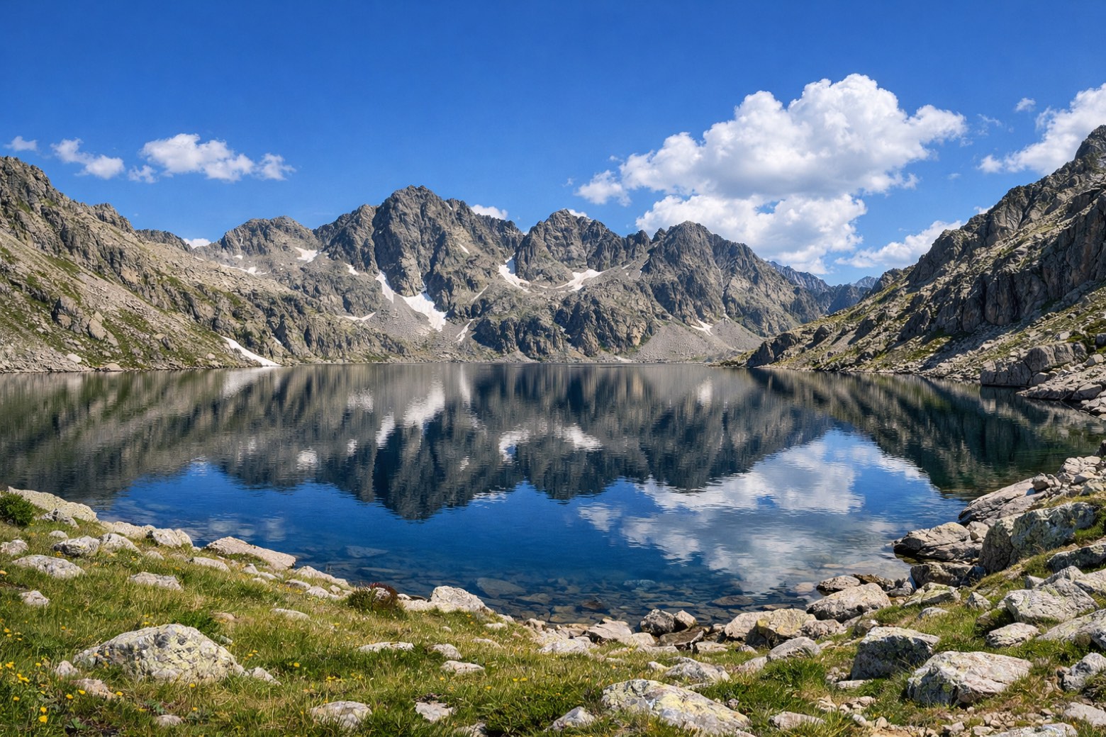 Stage 3Distance19 kmAscent462 mDescent963 m
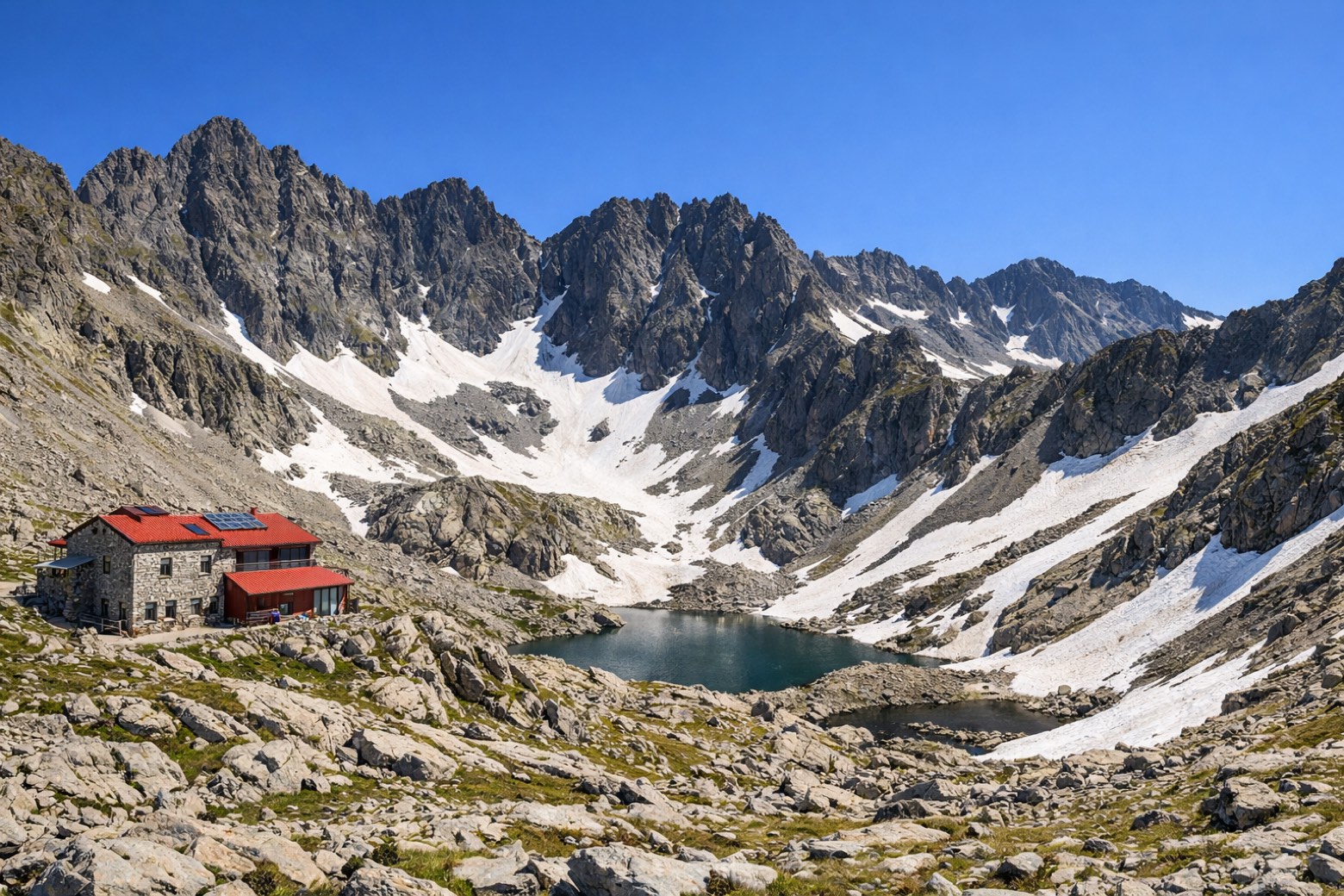 Stage 4Distance19 kmAscent713 mDescent394 m
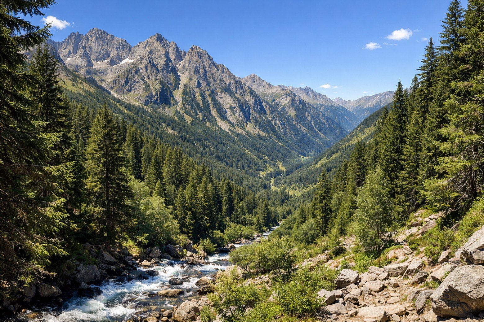 Stage 5
Refugi de Vallferrera → Tavascan
challengingDistance26 kmAscent944 mDescent1465 m
Points of interest
- Pic de Médécourbe
Pic de Médécourbe. Natural landmark, in Auzat, Andorra, at 2,915 m elevation, built in lutite.
Travel
Find connections for your cammino.
Search trainsPlan your walking trip
How to choose a walking route: stages, days and ascent
Choose a walking route by comparing daily stages, available days, ascent and transport links. Practical planning with examples from the Appy catalogue.
How to plan a walking trip by train and bus
Plan travel to and from your walk: stage endpoints, stations, stops and the connection to the trail. A practical guide to routes and transport with Appy.
Take your walk with you: download Appy
Porta del Cel. Explore maps, stages and elevation in the app, and plan your train or bus journey.