Tavascan → Bordes de Graus
Walking distance 6.7 km
Download Appy for the stage map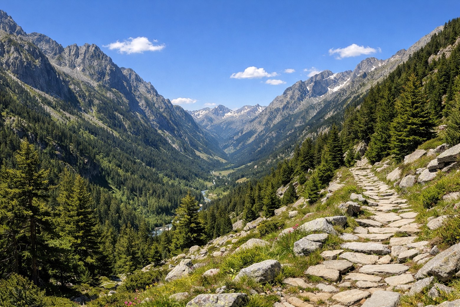
Stage information
- Ascent
- 250 m
- Descent
- 200 m
Difficulty: easy
Walking the stage
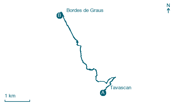
Leave Tavascan and climb 250 m over 7 km, passing Bordes de Guidal on the way to Bordes de Graus.
Look for these places on the stage map: Bordes de Guidal.
What to see on this stage
Nature and landscape
Trencacalders
1.7 km from the trail as the crow flies
Tuc de la Cima
1.9 km from the trail as the crow flies
Map · Tavascan → Bordes de Graus
Take your walk with you: download Appy
Porta del Cel: Tavascan → Bordes de Graus. Explore maps, stages and elevation in the app, and plan your train or bus journey.

