Sant Elm → Estellencs
Walking distance 26.5 km
Download Appy for the stage map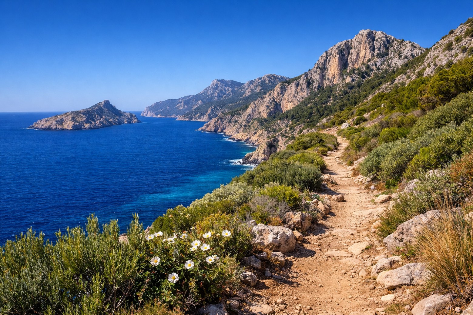
Stage information
- Ascent
- 1086 m
- Descent
- 965 m
Difficulty: challenging
Walking the stage
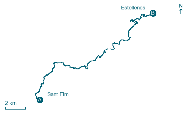
Climb 1086 m over 26 km from Sant Elm to Estellencs, a demanding day with no towns in between.
On arrival in Estellencs, consider a stop at Conjunto Histórico de Estellenchs, close to the finish.
What to see on this stage
History and landmarks
Conjunto Histórico de Estellenchs
< 100 m from the trail as the crow flies
Old village of three neighbourhoods, s'Arraval, sa Vileta and the centre, surrounded by dry-stone terraces once farmed for grapes, olives and almonds. The parish church of Sant Joan Baptista is 17th century, its bell tower a 16th-century defence tower.
El Castellet de l'Esclop
100 m from the trail as the crow flies
Natural landmark, in Calvià, Spain, at 776 m elevation.
Map · Sant Elm → Estellencs
Take your walk with you: download Appy
GR221 Serra de Tramuntana (Mallorca): Sant Elm → Estellencs. Explore maps, stages and elevation in the app, and plan your train or bus journey.

