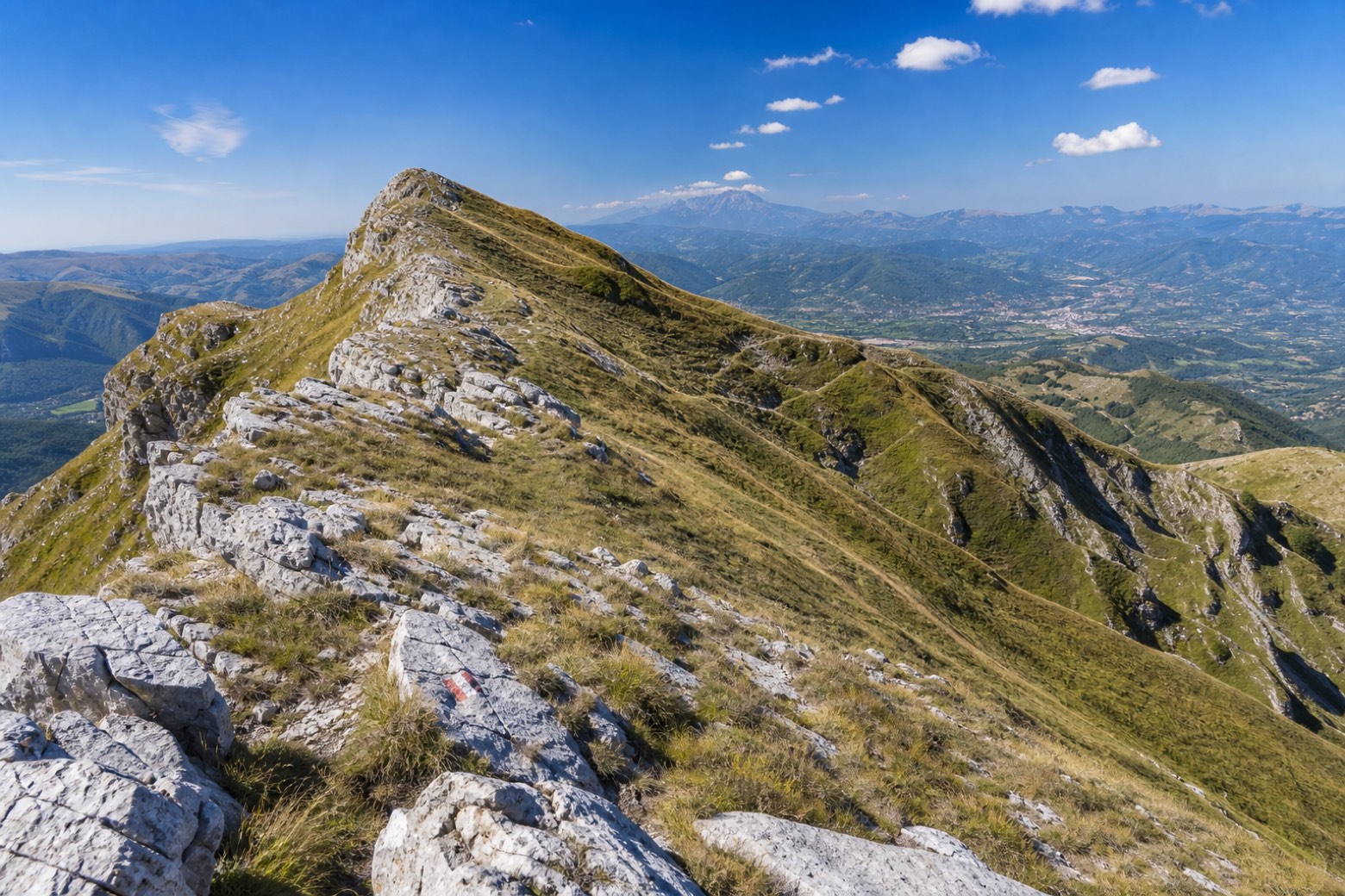
Anello del Monte Terminillo
Lazio, Italy
Italy
Distance
7 km
Stages
1
Difficulty
challenging
Best months
June to October
About
This ring climbs the mountain of Rome by its quiet north side. You start at Rifugio Angelo Sebastiani, at 1,820 m, go up the normal route, CAI path 401, to the summit at 2,217 m, then follow the Cresta dei Sassetelli on path 403 to Cima di Vall'Organo and traverse back across the north face.
It is about 7 km and 3 to 4 hours, grade E with an EE stretch on the ridge. Here's the thing: it is a real mountain walk, so you need good weather, hiking boots and a steady foot.
Stages
1 stages
- Stage 1
- Distance
- 7 km
- Ascent
- 387 m
- Descent
- 374 m
Travel
Find connections for your cammino.
Search trainsMore walks in Italy
Plan your walking trip
How to choose a walking route: stages, days and ascent
Choose a walking route by comparing daily stages, available days, ascent and transport links. Practical planning with examples from the Appy catalogue.
How to plan a walking trip by train and bus
Plan travel to and from your walk: stage endpoints, stations, stops and the connection to the trail. A practical guide to routes and transport with Appy.
Take your walk with you: download Appy
Anello del Monte Terminillo. Explore maps, stages and elevation in the app, and plan your train or bus journey.